Trials Spur Track
WalkHawke's BayOpen
- Grade
- Advanced
- Walking time
- 3 hr
- Route
- Return
- Dogs
- DOC permit only
Access: read before you go
We recommend 4WD vehicles to reduce wear on the road and safe travel.
Source: DOC Te Papa Atawhai.
Getting there
We have not checked a road end or car park for this place yet, so we do not give driving directions to it. Check how to get there before you go. Some routes cross private land and need the landowner's permission.
How to get there, on doc.govt.nzKaweka Road is located 65 km north-west of Napier. From Napier follow Puketitiri Road for 36 km before turning left into Whittle Road. Kaweka Road is the first road on the right.
Whittle Road passes partly through farmland before reaching the park entrance. Leave all gates as found.
This road may be closed at times during winter because of snow.
We recommend 4WD vehicles to reduce wear on the road and safe travel.
Kaweka Forest Park access conditions
We recommend 4WD vehicles to reduce wear on the road and safe travel. Lotkow Road: The river crossings are regularly changing, check before crossing. Lakes carpark is accessible via Kuripapango road. The previous access Castle Rock road is now closed due to ongoing forestry operations. Lawrence Carpark access road: The last 600 m of the road is steep and not recommended for 2WD vehicles - a parking space is available before the descent. The Lawrence swing bridge has been removed. Mackintosh car park is currently closed due to ongoing forestry operations. A new parking location can be located at a skid site near the closed gate (end of Kuripapango Road), this will add on 500 m walking to reach the start of the track. Whittle Road: Be aware of trucks using the quarry. Give them right of way where possible.
Source: DOC Te Papa Atawhai.
Map
Map data © OpenStreetMap contributors. Topo map: LINZ, CC BY 4.0. 39.28836° S, 176.40372° E
Got a good photo of this place? Send it to us and we will show it with your name.
About this place
This track climbs above the bush line, gives good views of the surrounding country and is en-route to Kaweka J.
The route
From Makahu Saddle Hut the track fords Pinnacle Stream, zigzags up, and passes an area where trial plantings of pine species were carried out in the 1960s. The track crosses a narrow shingle covered ridge which leads around the head of Pinnacle Stream and up to Makahu Spur. Dominie Bivouac is approximately 20 minutes further uphill from this point, just off the spur on the right. Here the only vegetation is hardy alpine plants – tussock, some hebe species and mountain daisies. From here you could continue up the steep poled track to the Kaweka J and or return via Makahu Spur.
Source: DOC Te Papa Atawhai.
Know before you go
Weather forecast
Kaweka J Summit weather forecast - NIWA website
Source: DOC Te Papa Atawhai.
Nearby stops
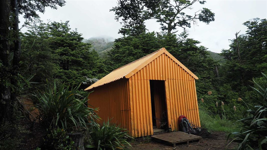
Makahu Saddle Hut
Standard • 4 bunks • Hawke's Bay • 0.4 km
Makahu Saddle Hut is located in Hawke's Bay within a mixed forest of red and mountain beech. It sits below the steep eroded scree slopes of the main Kaweka…
Heating • Mattresses • Toilets - non-flush
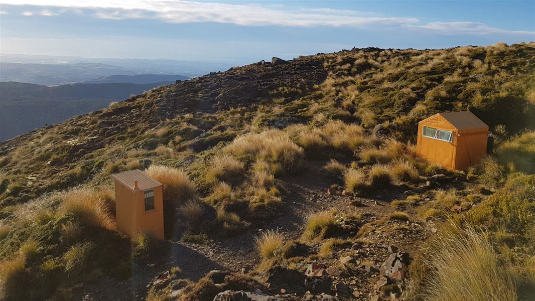
Dominie Hut
Basic/bivvies • 2 bunks • Hawke's Bay • 1.2 km
Dominie Hut is a DOC hut located in the eastern Kaweka Forest Park in Hawke's Bay. It is an 80 minute walk from the Makahu Saddle Hut and the roadend.
Mattresses • Toilets - non-flush • Water from tap - not treated, boil before use
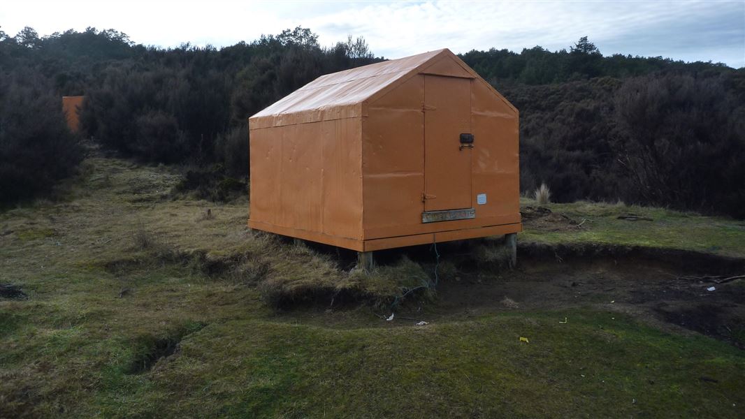
Kaweka Flats Bivvy
Basic/bivvies • 2 bunks • Hawke's Bay • 3.1 km
Kaweka Flats Bivvy is a hut located in the eastern part of Kaweka Forest Park in Hawke's Bay. It is situated one hour from the Makahu carpark.
Mattresses • Toilets - non-flush • Water from stream
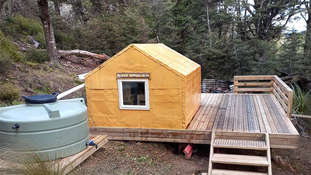
Black Birch Bivouac
Basic/bivvies • 2 bunks • Hawke's Bay • 3.3 km
Black Birch Bivouac is a basic two-bunk hut located in the Hawke's Bay region.
Mattresses
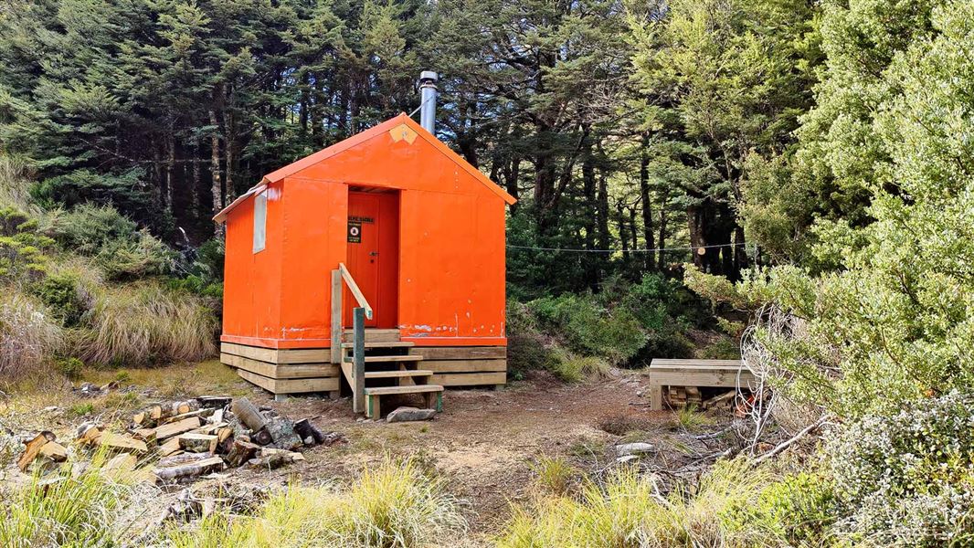
Studholme Saddle Hut
Standard • 4 bunks • Hawke's Bay • 3.7 km
Studholme Saddle Hut is a Department of Conservation hut located on the western side of the main Kaweka Range in Hawke's Bay. It sits south of Kaweka J.
Heating • Mattresses • Toilets - non-flush
Walks nearby
Dons Stream Walk
Advanced • 1 hr return • 0 km away
Ngahere Loop Track
Advanced • 1 hr • 1.68 km away
Matauria Ridge Track (Makahu Saddle to Mackintosh Track Junction)
Advanced • 5.07 km • 2.54 km away
Lotkow Road to Little's Clearing
Advanced • 3 - 4 hr one way • 3.01 km away
Lakes carpark to Mackintosh carpark via Mackintosh Hut
Advanced • 5-6 hrs • 5.59 km away
Something missing or out of date?
Closed, moved, wrong facts, or something we have missed? Travellers keep the Road Guide up to date. Tell us what you found at contribute@parkup.nz and we will check it and add it.
Ask us to take this down
A person reads every request. We do not remove a place until we have checked it.
Sources
- DOC Tracks & Trails · CC BY 4.0Data sourced from the Department of Conservation (DOC), New Zealand.
- DOC Tracks (API) · CC BY 4.0Crown Copyright: Department of Conservation Te Papa Atawhai. Data sourced from the DOC Developer Portal (api.doc.govt.nz).