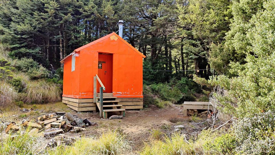
Dominie Hut
Basic/bivvies hutKaweka Forest Park, Hawke's BayOpen
- Sleeps
- 2 bunks
- Booking
- Not bookable
- Cost
- Free
- Heating
- None
- Drinking water
- Boil first
- Toilet
- Non-flush
Getting there
We have not checked a road end or car park for this place yet, so we do not give driving directions to it. Check how to get there before you go. Some routes cross private land and need the landowner's permission.
How to get there, on doc.govt.nzDominie Bivouac is reached after an 80 minutes walk from the Makahu Saddle Carpark. The track heads up Makahu Spur and is well-defined.
Dominie Bivouac is ideal stop-over for a day or the start of an extended tramp.
From Dominie Bivouac, head up Makahu Spur to Kaweka J, the highest point in the Kaweka Forest Park (and in the Hawke's Bay) From Kaweka J, trampers can travel west to Back Ridge and down to Rocks Ahead (allow 3 hours from Back Ridge Hut to Rocks Ahead Hut). From Rocks Ahead trampers can either cross the Ngaruroro River to the “Manson Country” or climb up to Tira Lodge (Venison Tops). This takes trampers back across the Ballard Saddle to return via the main Kaweka Range to Makahu Saddle.
Experienced trampers can head north from Kaweka J to Middle Hill or Makino Huts via Whetu (1650 metres). Heading south will take trampers to the Napier-Taihape Road via Kiwi Saddle, Mackintosh Spur or The Rogue. Trampers can also try a circular trip by heading down over the Studholme saddle and the Mackintosh Spur, stopping over at the Mackintosh Hut. Trampers can then head north 5.8 km up the Matauria Ridge before travelling back to the Kaweka Roadend (approximately 3 hours).
Trampers are reminded that trips leaving the Kaweka J are via poled routes traversing open sub-alpine tops between 1300 to 1700 metres altitude – caution may be required during adverse weather conditions. Wind speeds exceeding 180 kmh are not uncommon over the main tops, along with extremely cold conditions at any time of the year.
We recommend 4WD vehicles to reduce wear on the road and safe travel.
- Topo map
- Topo50 sheet BJ37
- Grid reference
- E1892758, N5646601
Source: DOC Te Papa Atawhai.
Map
Map data © OpenStreetMap contributors. Topo map: LINZ, CC BY 4.0. 39.28051° S, 176.39392° E
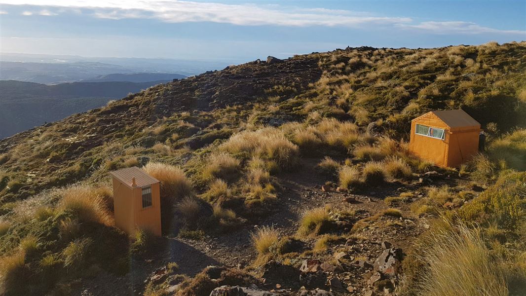
About this place
Dominie Hut is located in the eastern Kaweka Forest Park, 80 minutes walk from the Makahu Saddle Hut and roadend.
Fees and bookings
Free
Source: DOC Te Papa Atawhai.
Nearby stops
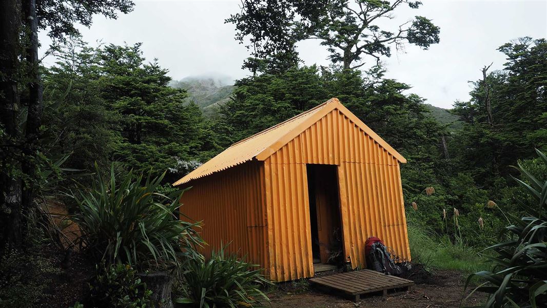
Makahu Saddle Hut
Standard • 4 bunks • Hawke's Bay • 1.4 km
Makahu Saddle Hut is located in Hawke's Bay within a mixed forest of red and mountain beech. It sits below the steep eroded scree slopes of the main Kaweka…
Heating • Mattresses • Toilets - non-flush
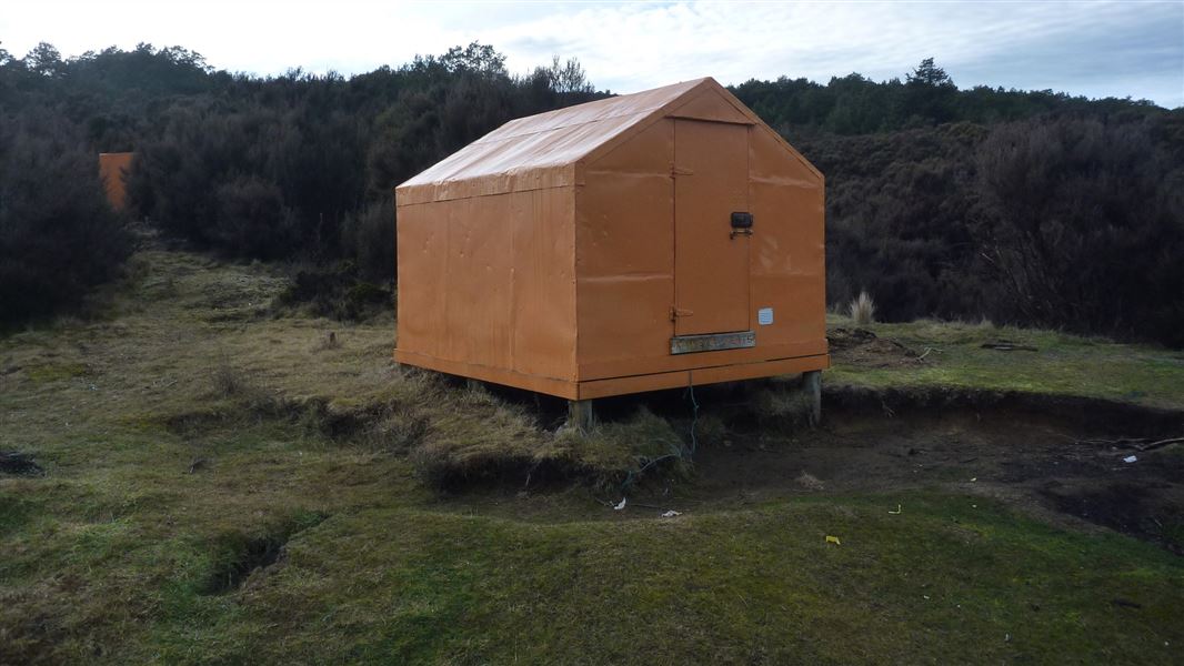
Kaweka Flats Bivvy
Basic/bivvies • 2 bunks • Hawke's Bay • 2.8 km
Kaweka Flats Bivvy is a hut located in the eastern part of Kaweka Forest Park in Hawke's Bay. It is situated one hour from the Makahu carpark.
Mattresses • Toilets - non-flush • Water from stream
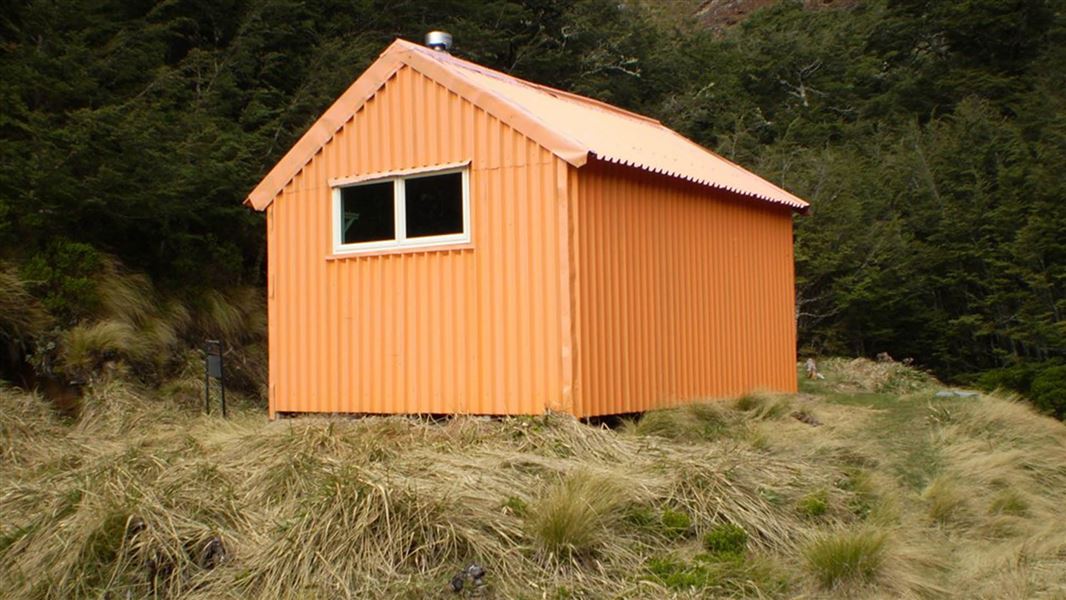
Back Ridge Hut
Standard • 4 bunks • Hawke's Bay • 3.2 km
Back Ridge Hut is a stopover facility located in Hawke’s Bay. It provides access to the central and western areas of the Kaweka Forest Park.
Heating • Mattresses • Toilets - non-flush
Studholme Saddle Hut
Standard • 4 bunks • Hawke's Bay • 3.4 km
Studholme Saddle Hut is a Department of Conservation hut located on the western side of the main Kaweka Range in Hawke's Bay. It sits south of Kaweka J.
Heating • Mattresses • Toilets - non-flush

Iron Whare
Basic/bivvies • 2 bunks • Hawke's Bay • 4.2 km
Iron Whare is a historic bivvy in Hawke's Bay that is no longer recommended for overnight accommodation. The track to the site is not well marked, making the…
Toilets - non-flush • Water from stream • Water supply
Walks nearby
Dons Stream Walk
Advanced • 1 hr return • 1.21 km away
Trials Spur Track
Advanced • 2-3 hr • 1.21 km away
Ngahere Loop Track
Advanced • 1 hr • 2.79 km away
Matauria Ridge Track (Makahu Saddle to Mackintosh Track Junction)
Advanced • 5.07 km • 3.69 km away
Lotkow Road to Little's Clearing
Advanced • 3 - 4 hr one way • 4.03 km away
Contact
DOC Customer Service Centre
Regional DOC service centre.
Notes from people who have been
No notes yet. If you have been, say what you found.
Something missing or out of date?
Closed, moved, wrong facts, or something we have missed? Travellers keep the Road Guide up to date. Tell us what you found at contribute@parkup.nz and we will check it and add it.
Ask us to take this down
A person reads every request. We do not remove a place until we have checked it.
Sources
- OpenStreetMap Huts · ODbL (Open Database License)Contains information from OpenStreetMap, made available under the ODbL.
- DOC Huts · CC BY 4.0Data sourced from the Department of Conservation (DOC), New Zealand.
- DOC Huts (API) · CC BY 4.0Crown Copyright: Department of Conservation Te Papa Atawhai. Data sourced from the DOC Developer Portal (api.doc.govt.nz).