Iron Whare
Basic/bivvies hutHawke's BayOpen
Current advisories
Treefall on the track to Iron Whare Hut
23 June 2026
Following a significant weather event, there are several treefalls across the track to Iron Whare Hut. Proceed with caution. First published on 6 March 2026. Last reviewed on 24 June 2026.
Source: DOC Te Papa Atawhai alerts.
- Sleeps
- 2 bunks
- Booking
- Not bookable
- Heating
- None
- Drinking water
- Not drinkable
- Toilet
- Non-flush
Getting there
We have not checked a road end or car park for this place yet, so we do not give driving directions to it. Check how to get there before you go. Some routes cross private land and need the landowner's permission.
How to get there, on doc.govt.nzIron Whare is accessed from a track that turns off the main track through Kaweka Flats. It is around a 30-40 min walk to the hut from the main track.
The track to Iron Whare is not well marked, so it is best suited to experienced and confident trampers who have good navigational skills.
We recommend 4WD vehicles to reduce wear on the road and safe travel.
Source: DOC Te Papa Atawhai.
Map
Map data © OpenStreetMap contributors. Topo map: LINZ, CC BY 4.0. 39.25614° S, 176.43136° E
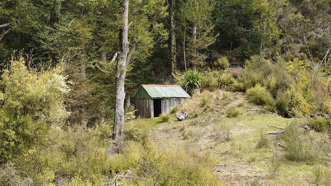
About this place
This bivvy is a historic building and is no longer recommended for overnight accommodation. The track to the bivvy is not well marked so this trip is best suited to experienced trampers.
Nearby stops
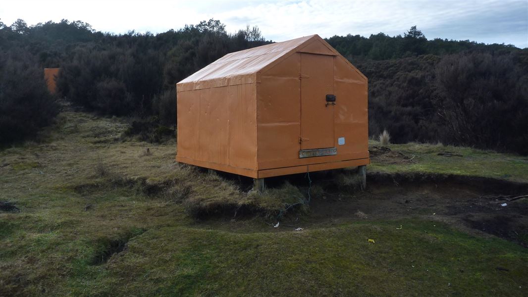
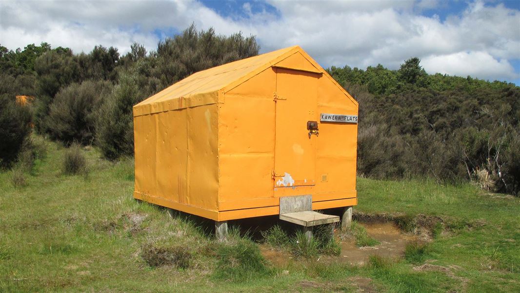
Kaweka Flats Bivvy
Basic/bivvies • 2 bunks • Hawke's Bay • 1.4 km
Kaweka Flats Bivvy is a hut located in the eastern part of Kaweka Forest Park in Hawke's Bay. It is situated one hour from the Makahu carpark.
Mattresses • Toilets - non-flush • Water from stream
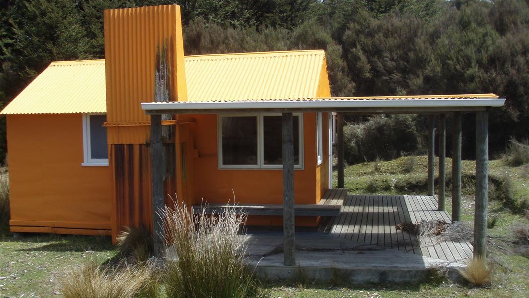
Middle Hill Hut
Standard • 6 bunks • Hawke's Bay • 3.2 km
Middle Hill Hut is located in the north eastern part of Kaweka Forest Park in Hawke's Bay. The hut sits on a flat, sheltered site where open manuka and kanuka…
Heating • Mattresses • Toilets - non-flush
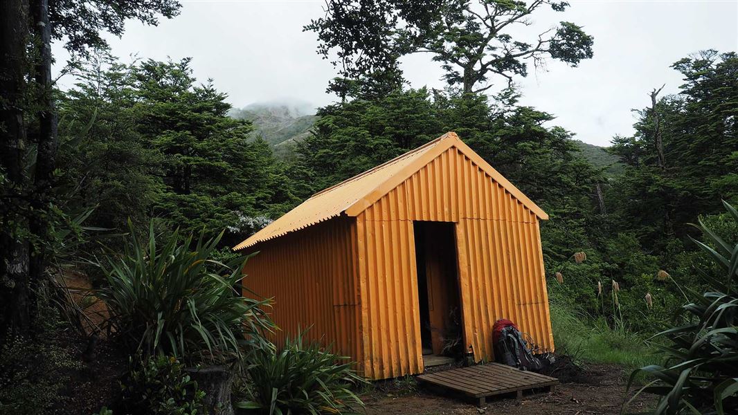
Makahu Saddle Hut
Standard • 4 bunks • Hawke's Bay • 4 km
Makahu Saddle Hut is located in Hawke's Bay within a mixed forest of red and mountain beech. It sits below the steep eroded scree slopes of the main Kaweka…
Heating • Mattresses • Toilets - non-flush
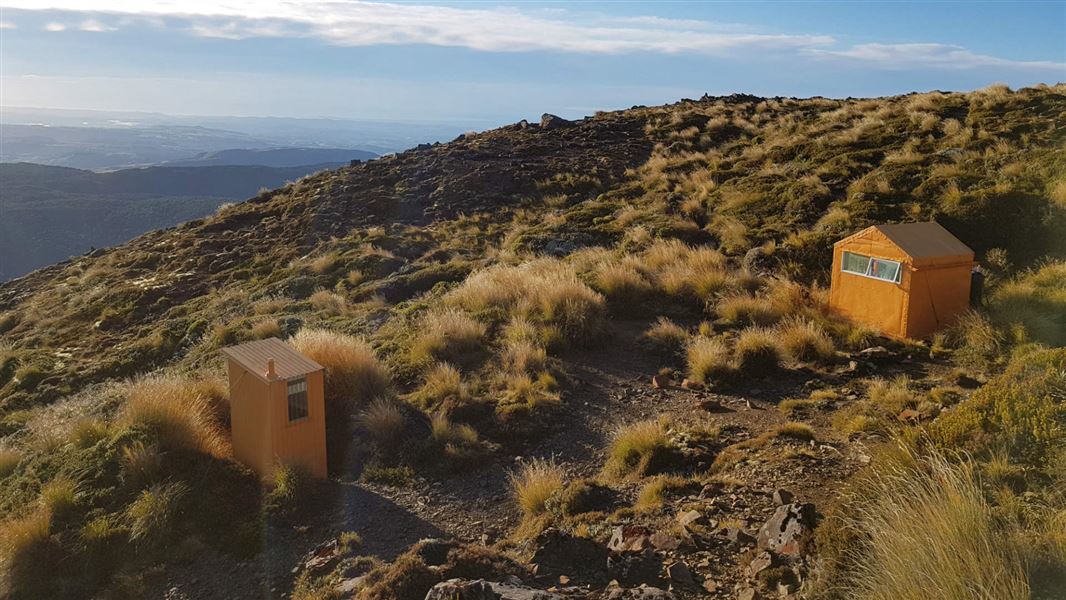
Dominie Hut
Basic/bivvies • 2 bunks • Hawke's Bay • 4.2 km
Dominie Hut is a DOC hut located in the eastern Kaweka Forest Park in Hawke's Bay. It is an 80 minute walk from the Makahu Saddle Hut and the roadend.
Mattresses • Toilets - non-flush • Water from tap - not treated, boil before use
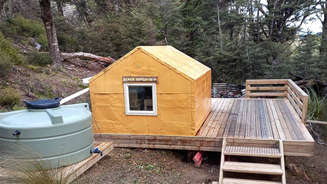
Black Birch Bivouac
Basic/bivvies • 2 bunks • Hawke's Bay • 5.1 km
Black Birch Bivouac is a basic two-bunk hut located in the Hawke's Bay region.
Mattresses
Walks nearby
Makahu Road to Makahu Saddle (via Middle Hill Hut and Kaweka Flats)
Advanced • 5.5-7.5 hrs • 12.9 km • 3.1 km away
Lotkow Road to Little's Clearing
Advanced • 3 - 4 hr one way • 4.02 km away
Ngahere Loop Track
Advanced • 1 hr • 4.08 km away
Dons Stream Walk
Advanced • 1 hr return • 4.3 km away
Trials Spur Track
Advanced • 2-3 hr • 4.3 km away
Notes from people who have been
No notes yet. If you have been, say what you found.
Something missing or out of date?
Closed, moved, wrong facts, or something we have missed? Travellers keep the Road Guide up to date. Tell us what you found at contribute@parkup.nz and we will check it and add it.
Ask us to take this down
A person reads every request. We do not remove a place until we have checked it.
Sources
- OpenStreetMap Huts · ODbL (Open Database License)Contains information from OpenStreetMap, made available under the ODbL.
- DOC Huts · CC BY 4.0Data sourced from the Department of Conservation (DOC), New Zealand.
- DOC Huts (API) · CC BY 4.0Crown Copyright: Department of Conservation Te Papa Atawhai. Data sourced from the DOC Developer Portal (api.doc.govt.nz).