Makahu Road Circuit (via Makino Hut and Te Puia Lodge)
WalkHawke's Bay
- Grade
- Advanced
- Walking time
- 7 hr
- Dogs
- DOC permit only
Access: read before you go
The trip involves about 1 hr of travel on unsealed gravel roads. There is a river ford on Makahu Road 7.5 km from the road end – heavy rain and snow melt can affect the water level.
We recommend 4WD vehicles to reduce wear on the road and safe travel.
Extreme fire conditions can exist during summer. The park is a restricted fire area, which means permits to light fires are required all year round.
Source: DOC Te Papa Atawhai.
Getting there
We have not checked a road end or car park for this place yet, so we do not give driving directions to it. Check how to get there before you go. Some routes cross private land and need the landowner's permission.
How to get there, on doc.govt.nzMakahu Road is 75 km north-west of Napier. From Napier follow Puketitiri Road for 40 km before turning right into Pakaututu Road. Makahu Road is 9 km on the left.
At the very end of the road, 500 metres from the Mangatutu Hot Springs and camping area, is "The Gums" parking area and shelter. The tracks to Te Puia Lodge and Mangatainoka Hot Springs begin here.
The trip involves about 1 hr of travel on unsealed gravel roads. There is a river ford on Makahu Road 7.5 km from the road end – heavy rain and snow melt can affect the water level.
Makahu Road is steep and narrow in places. It may be slippery when wet. Take extra caution driving this road.The road is not suitable for caravans or campervans.
Check with Hasting's District Council (external site) for road closures.
We recommend 4WD vehicles to reduce wear on the road and safe travel.
Kaweka Forest Park access conditions
We recommend 4WD vehicles to reduce wear on the road and safe travel. Lotkow Road: The river crossings are regularly changing, check before crossing. Lakes carpark is accessible via Kuripapango road. The previous access Castle Rock road is now closed due to ongoing forestry operations. Lawrence Carpark access road: The last 600 m of the road is steep and not recommended for 2WD vehicles - a parking space is available before the descent. The Lawrence swing bridge has been removed. Mackintosh car park is currently closed due to ongoing forestry operations. A new parking location can be located at a skid site near the closed gate (end of Kuripapango Road), this will add on 500 m walking to reach the start of the track. Whittle Road: Be aware of trucks using the quarry. Give them right of way where possible.
Source: DOC Te Papa Atawhai.
Map and tracks
Track lines: DOC Te Papa Atawhai. Map data © OpenStreetMap contributors. Topo map: LINZ, CC BY 4.0. 39.18515° S, 176.42954° E
Got a good photo of this place? Send it to us and we will show it with your name.
About this place
A tramp featuring two huts and hot springs, starting and ending at Makahu Road
The route
Makahu Road Circuit (via Makino Hut and Te Puia Lodge) is an interesting day or overnight trip.
Makahu Road to Makino Hut (Makino Track) or Makino-Te Puia track junction
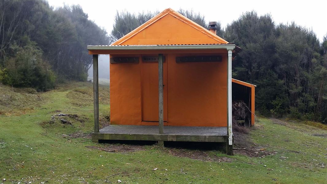
A short distance after Makahu Road enters the park it climbs to a saddle. It is from this point the track to Makino Hut leaves the road. There is a small carpark, for about 4 vehicles, and an information panel here. The track leads up a manuka ridge for 20 minutes (plus climb) – from where there are good views of the Mohaka valley and surrounding plateau farmland. Look and listen for fernbirds in the ground level scrubland and listen for kiwi at night. The track continues along a manuka covered flat, then climbs again to a further flat section. Manuka vegetation gives way to red beech as altitude is gained. The track continues past the Middle Hill turnoff to the left, then to the right to Te Puia Lodge. If you are not planning to visit Makino Hut, then take the turnoff to Te Puia Lodge. Otherwise, continue on Makino Track. About 15 - 20 minutes from this junction, in a small clearing, is Makino Hut.
Makino Hut (or Makino-Te Puia track junction) to Te Puia Lodge
If you went to Makino Hut, return back down Makino Track until you reach the track junction to Te Puia Lodge. Take this track, which descends steeply for around 1.85 km into the Mohaka River valley. Once the track reaches the valley, it joins Te Puia Track. Follow the track downstream for a short distance, until you reach Te Puia Lodge.
Side-trip: Visit Mangatainoka Hot Springs
From the junction of the track from Makino Hut with Te Puia Track, you can continue upstream to visit Mangatainoka Hot Springs . The track crosses a bridge over the Makino River just above its confluence with the Mohaka River. The track then continues alongside the Mohaka, through native bush with some rolling terrain. Steep drop-offs in some sections lend nice views of the surrounding foothills. There is a final steep descent to reach the hot springs. At the hot springs, there are 3 pools surrounded by a decking area. These pools have valves to control water flow and to empty the tubs. The hot springs are on a small manuka terrace beside the Mohaka River. The Mangatainoka Hot Springs Campsite is adjacent to the pools. If you wish to travel up the river from the hot springs, it's private land and prior permission from the landowner is required.
Te Puia Lodge to Makahu Road and Mangatutu Hot Springs
From Te Puia Lodge, follow the track down the true right of the Mokaha River to the end of Makahu Road. Mangatutu Hot Springs Campsite is at the end of the track. A short, steep track descends from the campsite to Mangatutu Hot Springs. Thermal water issues from a deep hole in an undercut bank near the top terrace. The water trickles down a riverside bluff, where it is channelled into two pools.
Makahu Road end back to car park
Return to your starting point by following Makahu Road (either walking or arranging transport). Take care if you plan to walk on the road. The whole loop can also be done in reverse: Mangatutu to Te Puia, to Makino then out to the road.
Source: DOC Te Papa Atawhai.
Know before you go
Be ready for mountain weather
This is a mountainous area. Visitors should be prepared for sudden weather changes, whiteouts, high winds on the ranges and rapidly rising water levels in rivers and streams. Check the weather before you go. Kaweka J Summit weather forecast Pack for all conditions and be ready for weather delays, including with an emergency shelter, spare food and a distress beacon. Packing lists
Expect a rough, slippery track
Parts of this circuit are backcountry tramping tracks and are rough, muddy and slippery (especially after rain). The circuit is best suited to experienced trampers with backcountry skills. You will need sturdy boots with good grip.
Fires
Extreme fire conditions can exist during summer. The park is a restricted fire area, which means permits to light fires are required all year round.
Maps
The Land Information New Zealand (LINZ) topographical maps that cover the Kaweka Forest Park are: Topo50 map BH36 - Motutere Topo50 map BH37 - Rangitaiki Topo50 map BH38 - Te Haroto Topo50 map BJ36 - Tawake Tohunga Topo50 map BJ37 - Kuripapango Topo50 map BJ38 - Te Pohue Topo50 map BK37 - Tikokino
Source: DOC Te Papa Atawhai.
Joins these tracks
Source: DOC Te Papa Atawhai.
Nearby stops
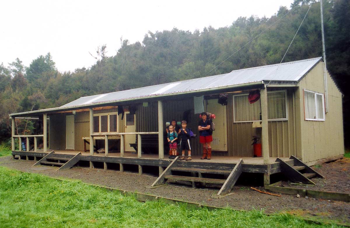
Te Puia Hut (Lodge)
Serviced • 24 bunks • Hawke's Bay • 2.2 km
Te Puia Hut is a Department of Conservation hut located in Hawke's Bay. It is described as a suitable overnight stop for families with children or new trampers.
Heating • Mattresses • Toilets - non-flush
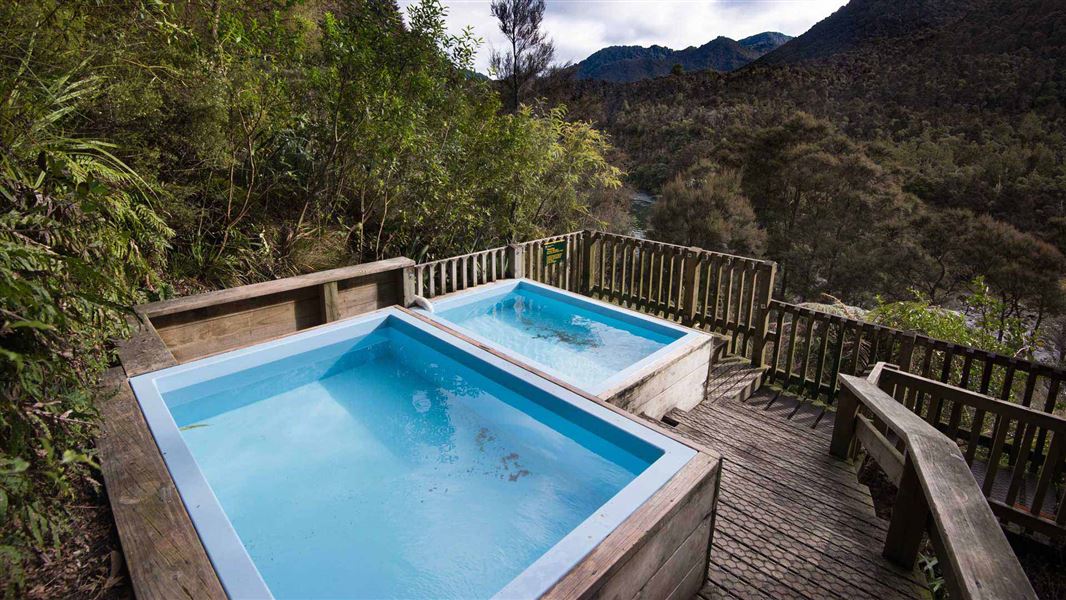
Mangatutu Hot Springs Campsite
Basic • Hawke's Bay • 2.4 km
Mangatutu Hot Springs Campsite is a popular spot for camping, picnics, and fishing in Hawke's Bay. It serves as a starting point for tramping, hunting, or day…
Non-powered/tent sites • Water from stream • Toilets - non-flush
Mangatainoka Hot Springs
Hawke's Bay • 3.5 km
Mangatainoka Hot Springs is a campsite located in Hawke's Bay. The site is named for the natural geothermal features found in the area.
Mangatainoka Campsite
Backcountry • Hawke's Bay • 4 km
Mangatainoka Campsite is a popular campsite located beside the Mohaka River and the Mangatainoka Hot Pools in Hawke's Bay.
Water from stream • Toilets - non-flush • Toilets
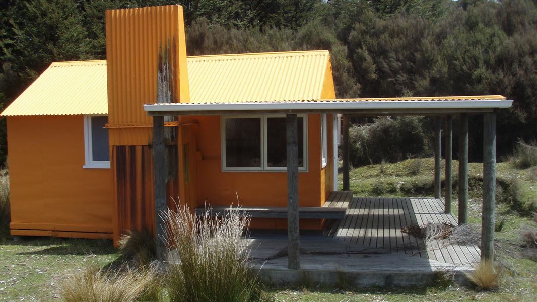
Middle Hill Hut
Standard • 6 bunks • Hawke's Bay • 4.7 km
Middle Hill Hut is located in the north eastern part of Kaweka Forest Park in Hawke's Bay. The hut sits on a flat, sheltered site where open manuka and kanuka…
Heating • Mattresses • Toilets - non-flush
Walks nearby
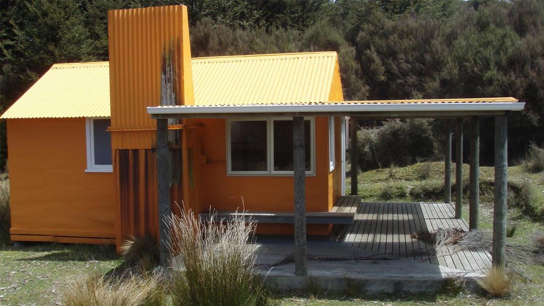
Middle Hill Track (Makahu Road to Middle Hill Hut)
Advanced • 2-3 hrs • 4.8 km • 3.3 km away
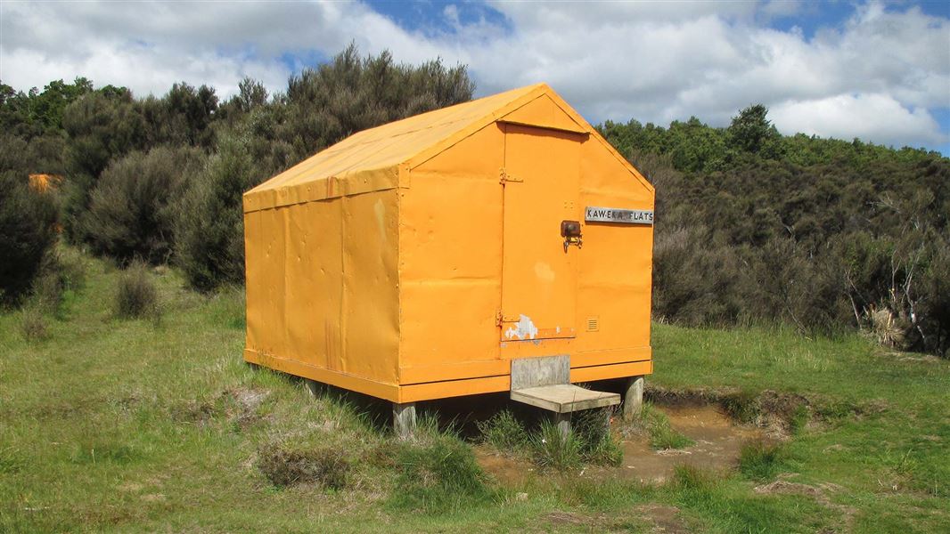
Makahu Road to Makahu Saddle (via Middle Hill Hut and Kaweka Flats)
Advanced • 5.5-7.5 hrs • 12.9 km • 4.92 km away
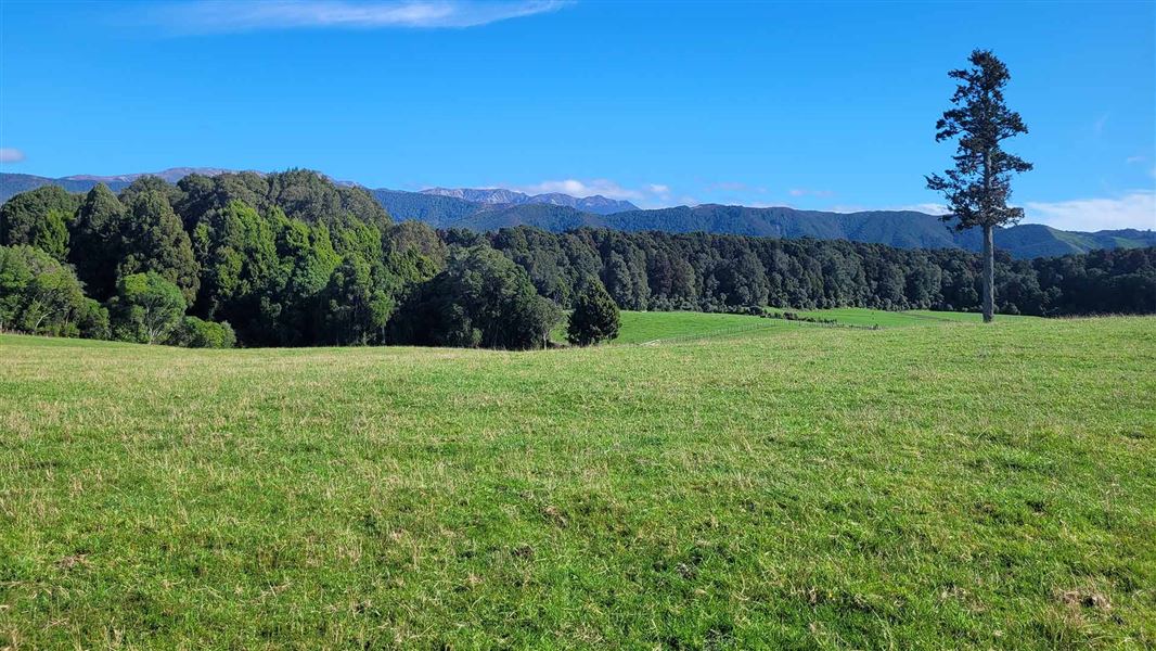
Balls Clearing Walks
Easy • 10 – 40 min • 11.4 km away
Dons Stream Walk
Advanced • 1 hr return • 11.69 km away
Trials Spur Track
Advanced • 2-3 hr • 11.69 km away
Notes from people who have been
No notes yet. If you have been, say what you found.
Something missing or out of date?
Closed, moved, wrong facts, or something we have missed? Travellers keep the Road Guide up to date. Tell us what you found at contribute@parkup.nz and we will check it and add it.
Ask us to take this down
A person reads every request. We do not remove a place until we have checked it.
Sources
- DOC Tracks (API) · CC BY 4.0Crown Copyright: Department of Conservation Te Papa Atawhai. Data sourced from the DOC Developer Portal (api.doc.govt.nz).