Mangatutu Hot Springs Campsite
Basic campsiteLocated in Kaweka Forest Park, Hawke's BayOpen
- Sites
- 45
- Booking
- Not bookable
- Cost
- Free
- Power
- None
- Toilet
- Non-flush
- Water
- Yes
- Dogs
- No dogs
Getting there
Makahu Road is 75 km north-west of Napier. From Napier follow Puketitiri Road for 40 km before turning right into Pakaututu Road. Makahu Road is 9 km on the left.
At the very end of the road, 500 metres from the Mangatutu Hot Springs and camping area, is "The Gums" parking area and shelter. The tracks to Te Puia Lodge and Mangatainoka Hot Springs begin here.
The trip involves about 1 hr of travel on unsealed gravel roads. There is a river ford on Makahu Road 7.5 km from the road end – heavy rain and snow melt can affect the water level.
Makahu Road is steep and narrow in places. It may be slippery when wet. Take extra caution driving this road.
The road is not suitable for caravans or campervans.
Check with Hasting's District Council for road closures.
We recommend 4WD vehicles to reduce wear on the road and safe travel.
Source: DOC Te Papa Atawhai.
Map
Map data © OpenStreetMap contributors. Topo map: LINZ, CC BY 4.0. 39.18364° S, 176.45686° E
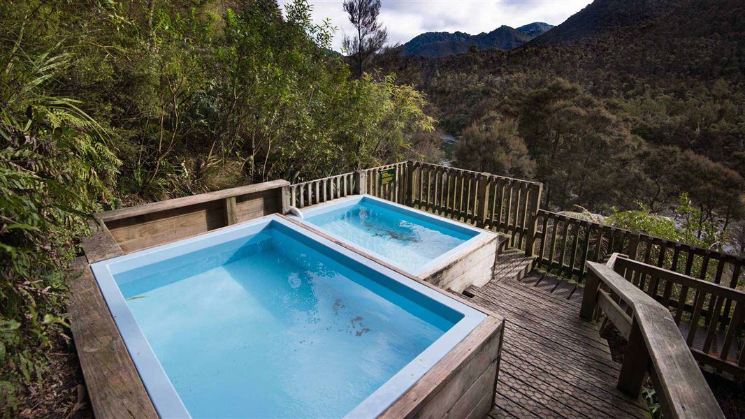
About this place
This is a popular camping, picnic and fishing spot, and a starting point for tramping, hunting or day walks up the Mohaka River and into the Kaweka Forest Park.
Nearby stops
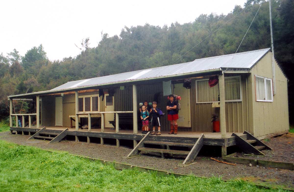
Te Puia Hut (Lodge)
Serviced • 24 bunks • Hawke's Bay • 4.2 km
Te Puia Hut is a Department of Conservation hut located in Hawke's Bay. It is described as a suitable overnight stop for families with children or new trampers.
Heating • Mattresses • Toilets - non-flush
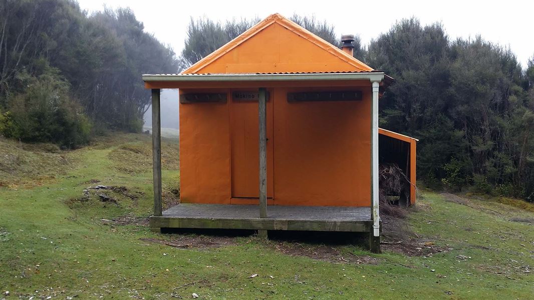
Makino Hut
Standard • 6 bunks • Hawke's Bay • 4.3 km
Makino Hut is located in the north-eastern Kaweka Forest Park within Hawke's Bay. The hut sits on a flat, sheltered site where open manuka and kanuka meet red…
Heating • Mattresses • Toilets - non-flush
Mangatainoka Hot Springs
Hawke's Bay • 5.5 km
Mangatainoka Hot Springs is a campsite located in Hawke's Bay. The site is named for the natural geothermal features found in the area.
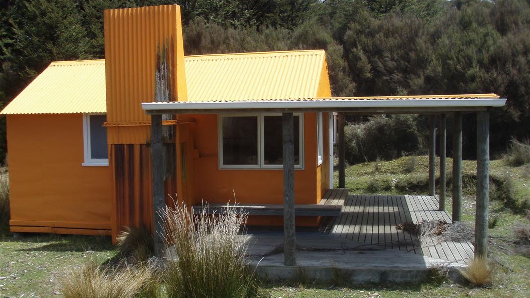
Middle Hill Hut
Standard • 6 bunks • Hawke's Bay • 5.6 km
Middle Hill Hut is located in the north eastern part of Kaweka Forest Park in Hawke's Bay. The hut sits on a flat, sheltered site where open manuka and kanuka…
Heating • Mattresses • Toilets - non-flush
Mangatainoka Campsite
Backcountry • Hawke's Bay • 5.9 km
Mangatainoka Campsite is a popular campsite located beside the Mohaka River and the Mangatainoka Hot Pools in Hawke's Bay.
Water from stream • Toilets - non-flush • Toilets
Walks nearby
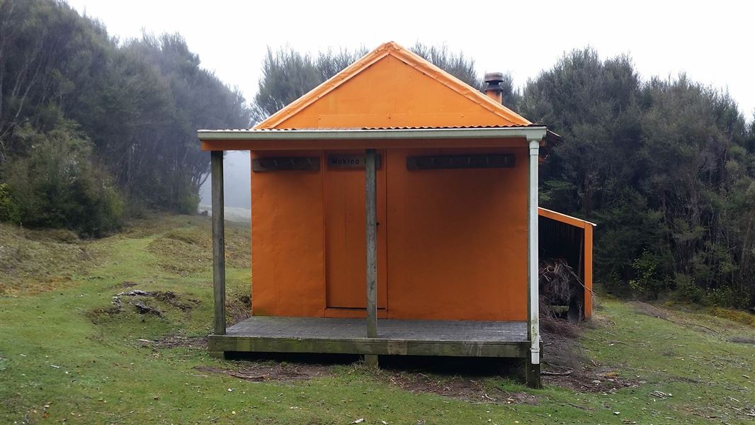
Makino Track (Makahu Road to Makino Hut)
Advanced • 2-3 hrs • 5.5 km • 2.23 km away
Makahu Road Circuit (via Makino Hut and Te Puia Lodge)
Advanced • 6-7 hrs • 2.36 km away
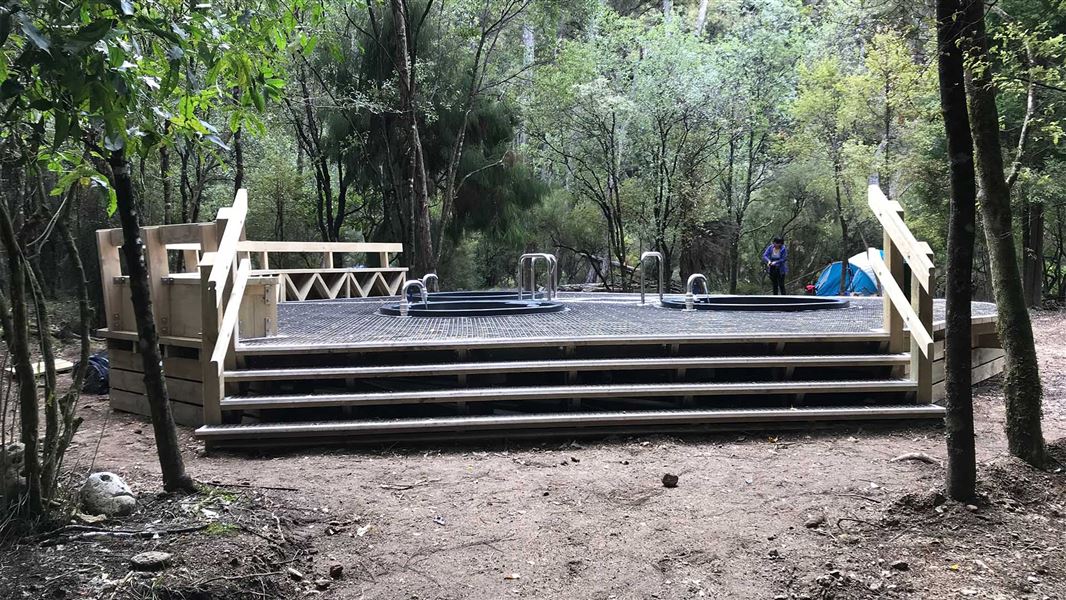
Te Puia Hut Track and Mangatainoka Hot Springs
Intermediate • 1–2 days • 3.18 km away
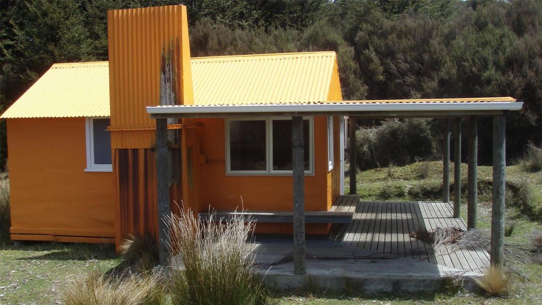
Middle Hill Track (Makahu Road to Middle Hill Hut)
Advanced • 2-3 hrs • 4.8 km • 3.44 km away
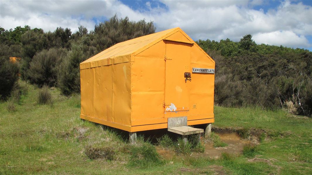
Makahu Road to Makahu Saddle (via Middle Hill Hut and Kaweka Flats)
Advanced • 5.5-7.5 hrs • 12.9 km • 5.84 km away
Contact
DOC Customer Service Centre
Regional DOC service centre.
Notes from people who have been
No notes yet. If you have been, say what you found.
Something missing or out of date?
Closed, moved, wrong facts, or something we have missed? Travellers keep the Road Guide up to date. Tell us what you found at contribute@parkup.nz and we will check it and add it.
Ask us to take this down
A person reads every request. We do not remove a place until we have checked it.
Sources
- OpenStreetMap Campsites · ODbL (Open Database License)Contains information from OpenStreetMap, made available under the ODbL.
- DOC Campsites (API) · CC BY 4.0Crown Copyright: Department of Conservation Te Papa Atawhai. Data sourced from the DOC Developer Portal (api.doc.govt.nz).
- DOC Campsites · CC BY 4.0Data sourced from the Department of Conservation (DOC), New Zealand.