Mangamate Loop Track
WalkBay of Plenty
- Grade
- Advanced
- Walking time
- 3 days
- Distance
- 34.3 km
- Dogs
- DOC permit only
Getting there
We have not checked a road end or car park for this place yet, so we do not give driving directions to it. Check how to get there before you go. Some routes cross private land and need the landowner's permission.
How to get there, on doc.govt.nzThe track is 90 km south of Rotorua
Source: DOC Te Papa Atawhai.
Map and tracks
Track lines: DOC Te Papa Atawhai. Map data © OpenStreetMap contributors. Topo map: LINZ, CC BY 4.0. 38.74587° S, 176.68947° E
About this place
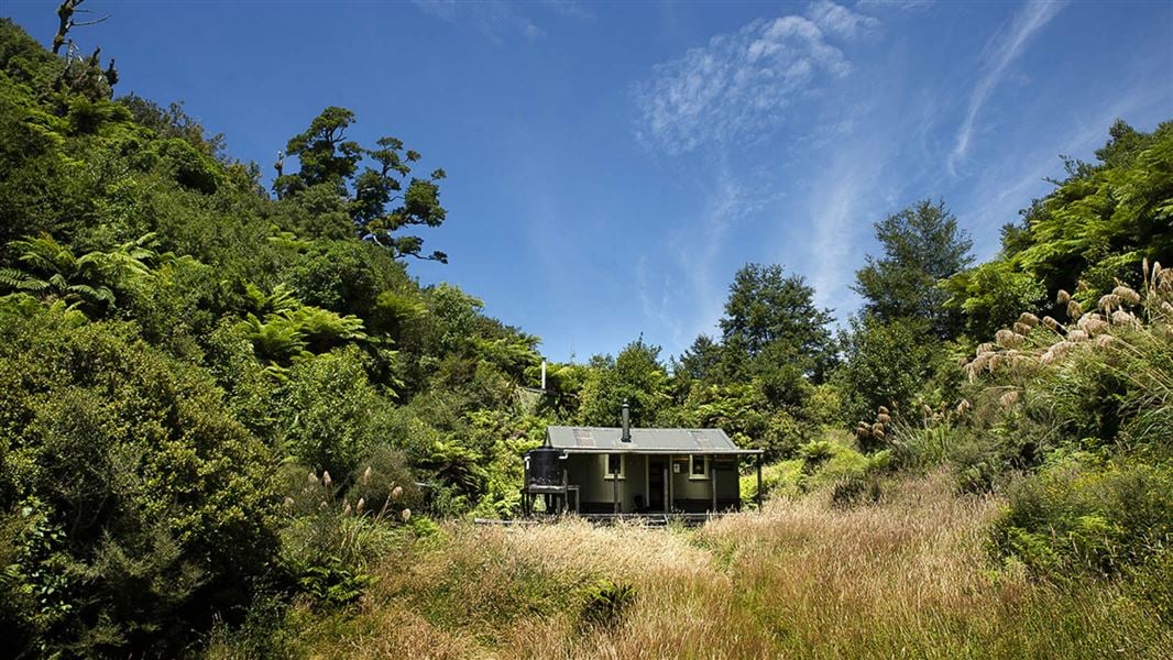
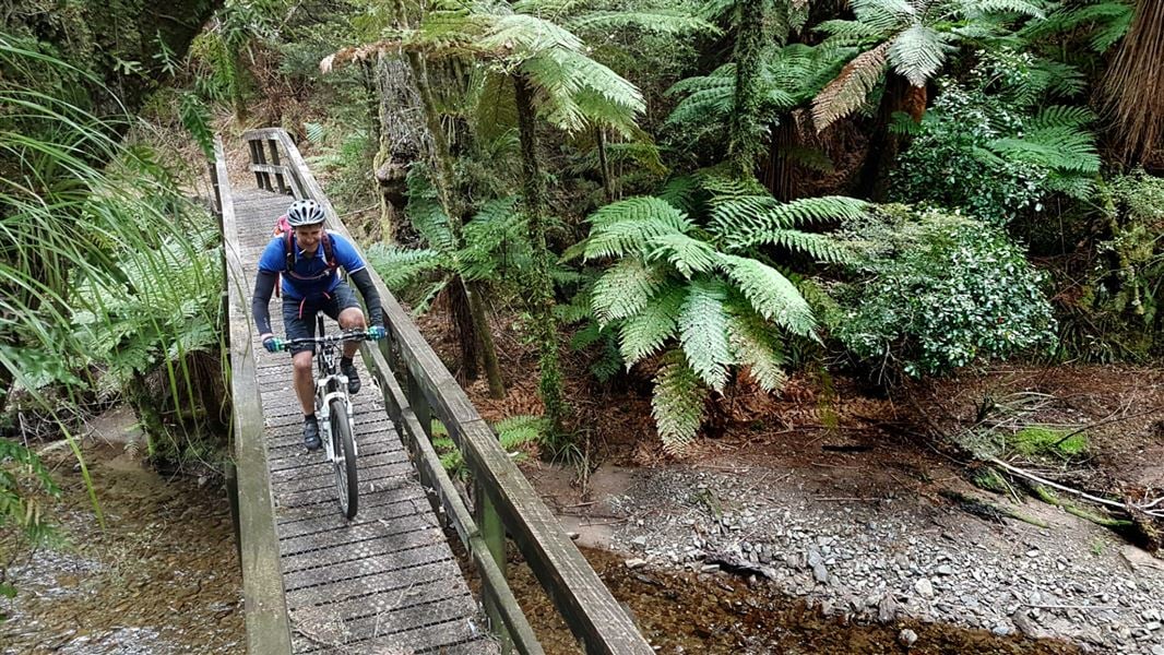
The loop covers a range of track types including multiple river crossing. This makes it an ideal introduction to backcountry tramping.
The route
Elevation profile of the Mangamate Loop track – view larger in Whirinaki walks brochure Day one is on a well-formed track of a high standard. However, the next two days transition onto unformed tracks where you will be constantly crossing the Mangamate Stream. River-crossing skills are required. The track starts and ends along the Whirinaki Waterfall Loop .
Day 1: River Rd car park to Central Whirinaki Hut
Time: 5 hr
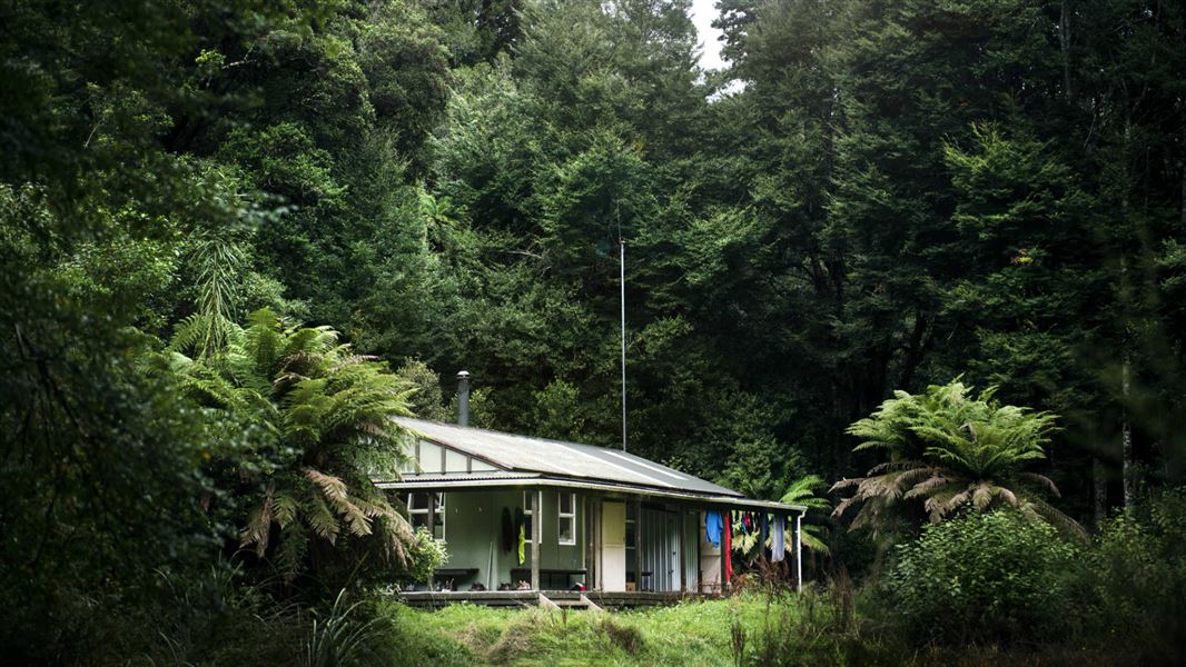
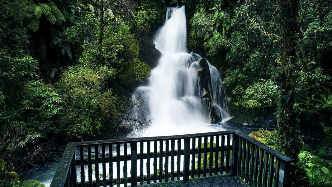
km Begin at the River Rd carpark. After crossing Te Whaiti-Nui-a-Toi Canyon bridge, keep the Whirinaki River on your right side and head south. After 1 hr (3.5 km), cross the Mangamate Bridge (you’ll end up back here on day 3). Carry on past the Whirinaki Waterfall and up to Vern’s Campsite. With a shelter and toilet, this is a good place to stop for lunch. From Vern’s it's another 8 km to the first overnight stay at Central Whirinaki Hut.
Day 2: Central Whirinaki Hut to Mangamate Hut
Time: 4 hr 30 min
8.2 km From Central Whirinaki Hut carry on along the Whirinaki River for 45 min (2 km), till you reach Taumutu bridge. The track branches left onto the Taumutu Stream and after around 1 km branches left again onto the Kakanui Stream. From here the route is almost entirely in the stream. After about 1 hr 30 min, the track climbs sharply to Mangamate Hut, which is located high on a ridge.
Day 3: Mangamate Hut to River Rd carpark
Time: 4 hr
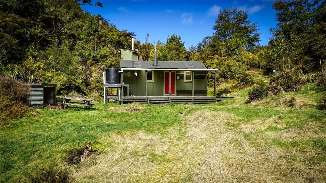
10.1 km The track travels steeply down from the hut where it now enters the Upper Mangamate Stream. From the hut it's 3 hr (6.6 km) down-stream to the Mangamate bridge. The track is in and out of the stream – expect 60+ stream crossings. At the Mangamate bridge the loop closes. With the Whirinaki River on your left, follow the track back to River Road car park.
Source: DOC Te Papa Atawhai.
Know before you go
Track condition
This site may be damaged with slips, flooding or fallen trees from severe weather. Be prepared to turn back if needed.
Source: DOC Te Papa Atawhai.
Joins these tracks
Source: DOC Te Papa Atawhai.
On this track
In walking order.
Nearby stops
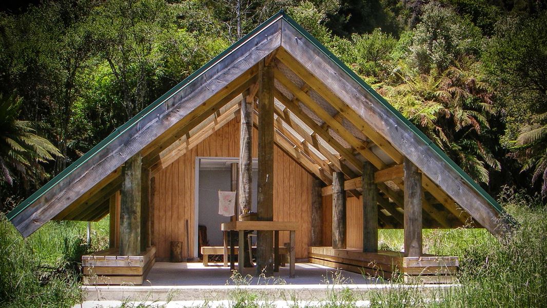
Verns Camp
Basic • Bay of Plenty • 2.8 km
Verns Camp is a campsite in the Bay of Plenty that serves as a good spot to stop for lunch. The site includes a shelter, a fireplace, and water.
Fire pit/place for campfires (except in fire bans) • Non-powered/tent sites • Water from stream
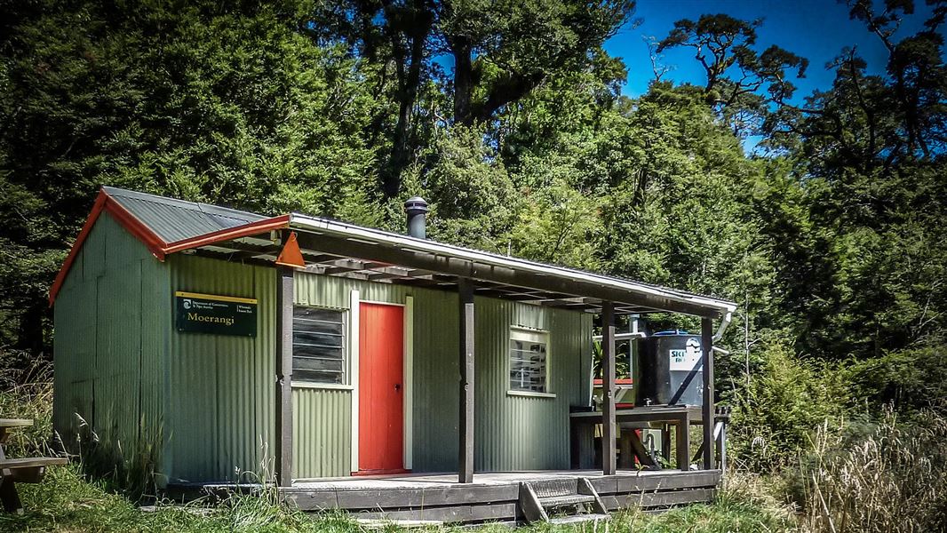
Moerangi Hut
Standard • 9 bunks • Hawke's Bay • 3 km
Moerangi Hut is a DOC hut located on the Moerangi mountain biking and tramping track in Hawke's Bay. It is a popular destination for overnight trips or as part…
Heating • Mattresses • Toilets - non-flush
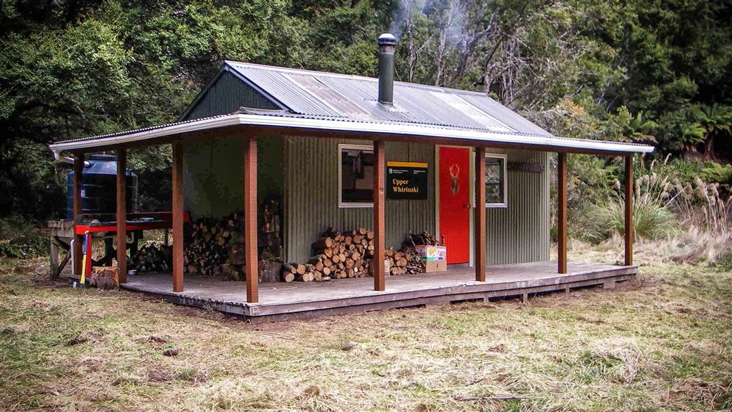
Upper Whirinaki Hut
Standard • 9 bunks • Bay of Plenty • 7.5 km
Upper Whirinaki Hut is a standard nine-bunk hut located in the East Coast region. It is a popular accommodation option for hunters.
Heating • Mattresses • Toilets - non-flush
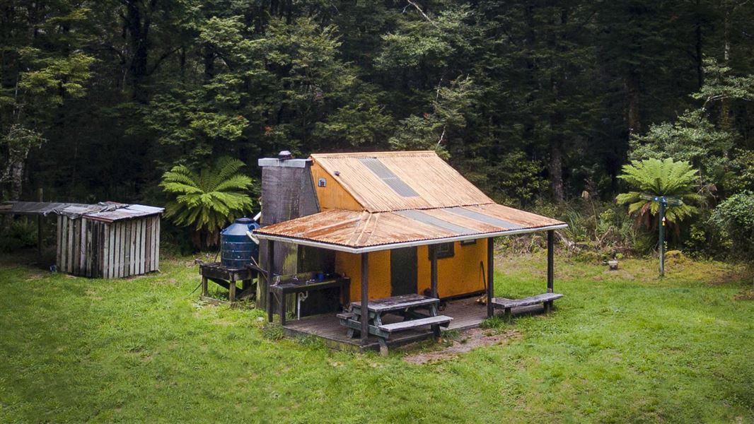
Rogers Hut (Te Wairoa)
Standard • 6 bunks • Hawke's Bay • 8.7 km
Rogers Hut is a standard six-bunk hut located near the border of Te Urewera in Hawke's Bay. Built in 1952 for deer cullers, it is one of only three remaining…
Heating • Mattresses • Toilets - non-flush
Sanctuary Campsite
Basic • Bay of Plenty • 9.7 km
Sanctuary Campsite is a small camp located next to the Minginui Stream in the Bay of Plenty. The area offers walking tracks through podocarp forest.
Fire pit/place for campfires (except in fire bans) • Non-powered/tent sites • Water from stream
Walks nearby
Notes from people who have been
No notes yet. If you have been, say what you found.
Something missing or out of date?
Closed, moved, wrong facts, or something we have missed? Travellers keep the Road Guide up to date. Tell us what you found at contribute@parkup.nz and we will check it and add it.
Ask us to take this down
A person reads every request. We do not remove a place until we have checked it.
Sources
- DOC Tracks (API) · CC BY 4.0Crown Copyright: Department of Conservation Te Papa Atawhai. Data sourced from the DOC Developer Portal (api.doc.govt.nz).