Whirinaki Waterfall Loop Track
WalkBay of Plenty
- Grade
- Easy
- Walking time
- 3 hr 30 min
- Distance
- 11 km
- Dogs
- DOC permit only
Getting there
We have not checked a road end or car park for this place yet, so we do not give driving directions to it. Check how to get there before you go. Some routes cross private land and need the landowner's permission.
How to get there, on doc.govt.nzWhirinaki Forest Park is 90 km south-east of Rotorua, and reached via Minginui Road, off Te Whaiti Road (old SH 38), then via Old Te Whaiti Road and River Road to the River Road car park.
The access road is gravel. Be aware that the road from Minginui to the track car park is unsealed. It is suitable for two wheel drive vehicles but drive with caution.
Source: DOC Te Papa Atawhai.
Map
Map data © OpenStreetMap contributors. Topo map: LINZ, CC BY 4.0. 38.69978° S, 176.69522° E
About this place
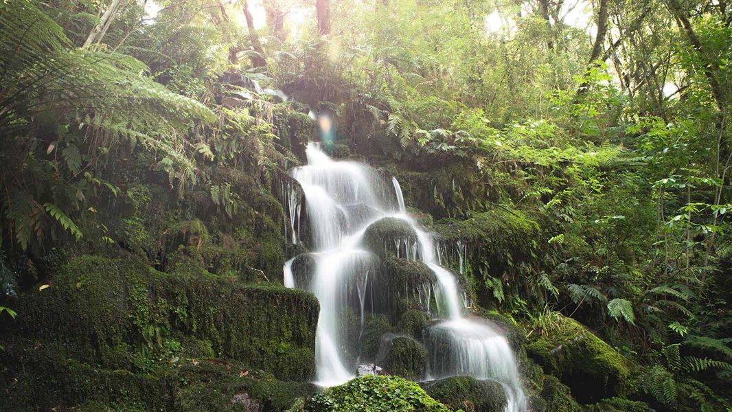
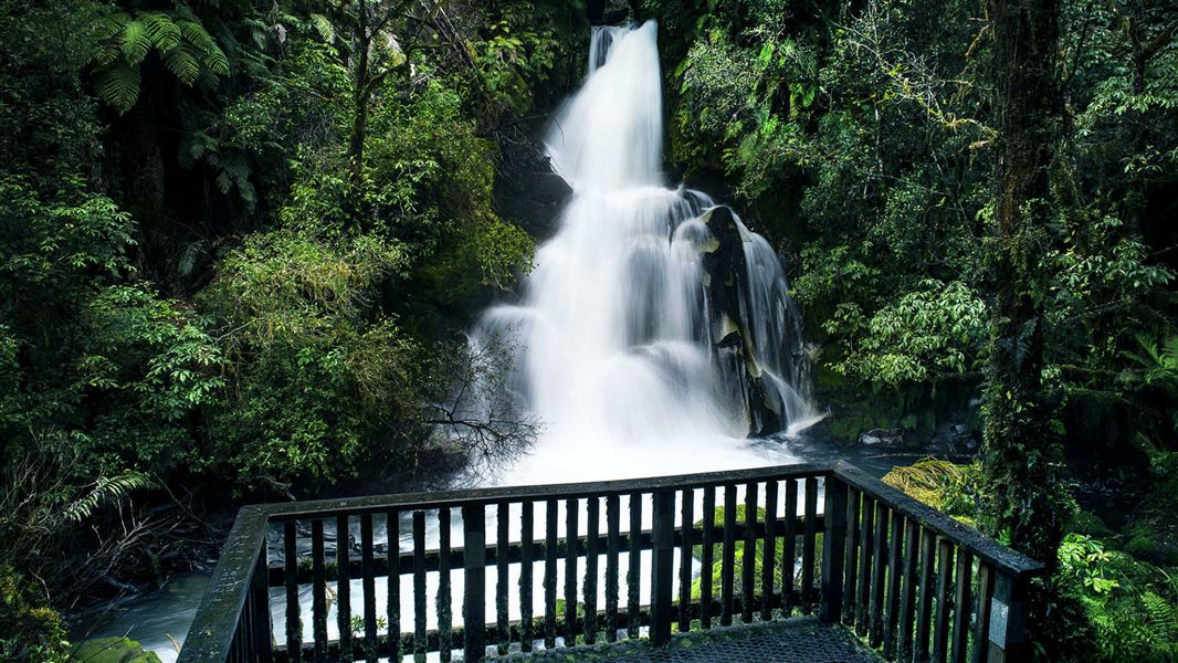
On the Whirinaki Waterfall Loop Track you'll follow the Whirinaki River as it flows through podocarp forest.
The route
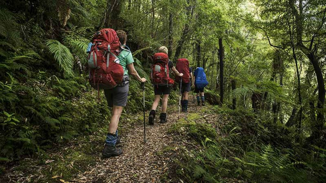
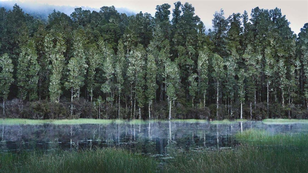
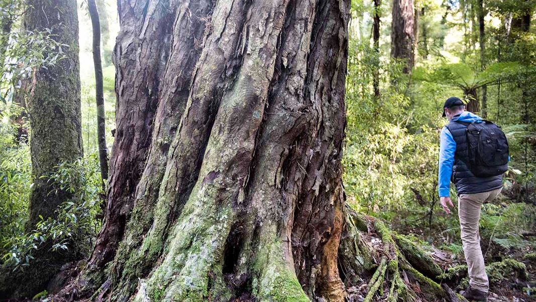
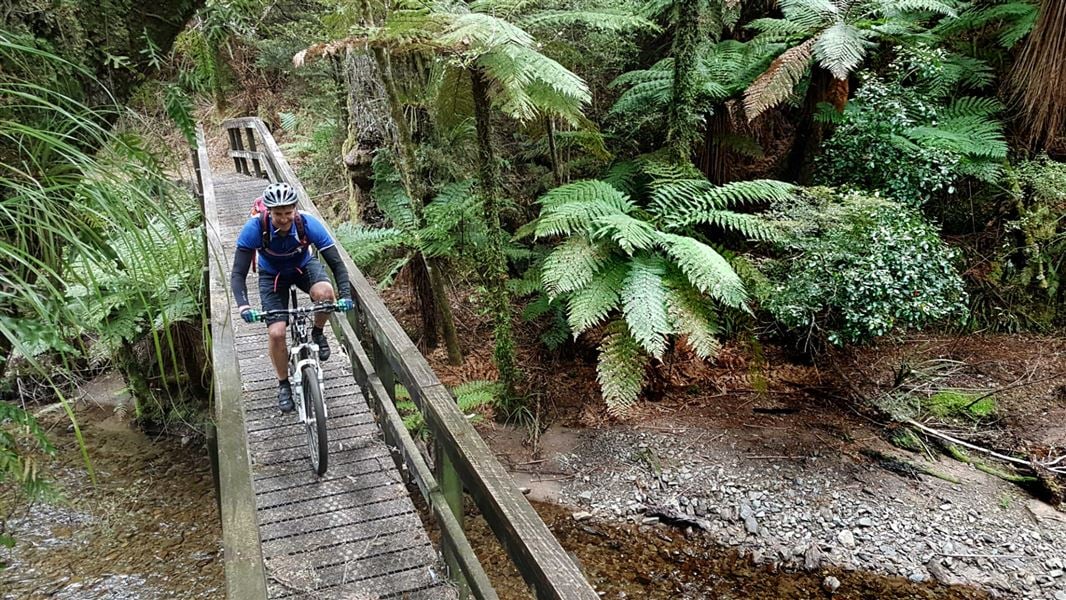
This easy loop track follows the Whirinaki River through superb podocarp forest with many excellent vantage points of the river. The waterfall can be heard from some distance. Take your lunch to enjoy along the way - there are picnic tables and a toilet at the waterfall. This track visits some of the parks special features and shows off the magnificent 'dinosaur forset', dominated by towering examples of kahikatea, tōtara, matai, rimu, miro and tawa. Ensure you stop off along the track when you can see the river as this is the best river in the Bay of Plenty to view blue duck/whio. There are steep drops and muddy/slippery sections on this track – take care and supervise children. Check for road closures before leaving on your trip.
Source: DOC Te Papa Atawhai.
Know before you go
Steep drops – watch your feet and keep an eye on children
There are steep drops next to the track at various places through this walk. Take care in these sections and supervise children closely.
Track can be slippery and muddy
This track can get very slippery and muddy, particularly after rain. It is best walked in sturdy shoes with good grip.
No cell phone reception on the track
There is no cell phone reception on the track. Consider carrying another type of communication device, like a distress beacon.
Source: DOC Te Papa Atawhai.
Nearby stops
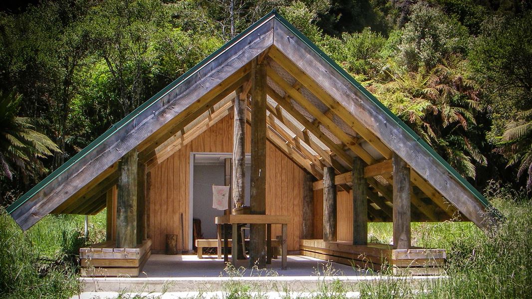
Verns Camp
Basic • Bay of Plenty • 2.8 km
Verns Camp is a campsite in the Bay of Plenty that serves as a good spot to stop for lunch. The site includes a shelter, a fireplace, and water.
Fire pit/place for campfires (except in fire bans) • Non-powered/tent sites • Water from stream
Sanctuary Campsite
Basic • Bay of Plenty • 4.9 km
Sanctuary Campsite is a small camp located next to the Minginui Stream in the Bay of Plenty. The area offers walking tracks through podocarp forest.
Fire pit/place for campfires (except in fire bans) • Non-powered/tent sites • Water from stream
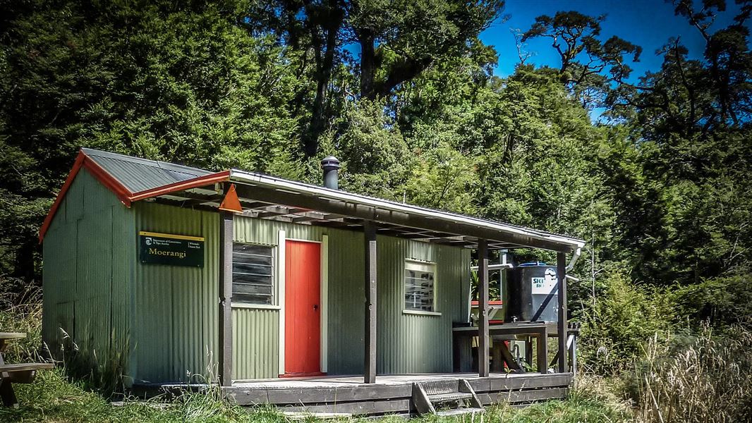
Moerangi Hut
Standard • 9 bunks • Hawke's Bay • 5.9 km
Moerangi Hut is a DOC hut located on the Moerangi mountain biking and tramping track in Hawke's Bay. It is a popular destination for overnight trips or as part…
Heating • Mattresses • Toilets - non-flush
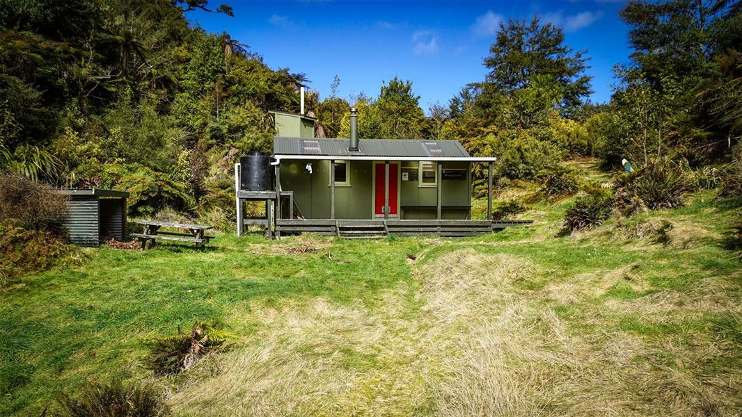
Mangamate Hut
Standard • 9 bunks • Bay of Plenty • 6.2 km
Mangamate Hut is a standard nine-bunk hut located high on a saddle overlooking the Whirinaki in the East Coast region. It is surrounded by podocarp forest and…
Heating • Mattresses • Toilets - non-flush
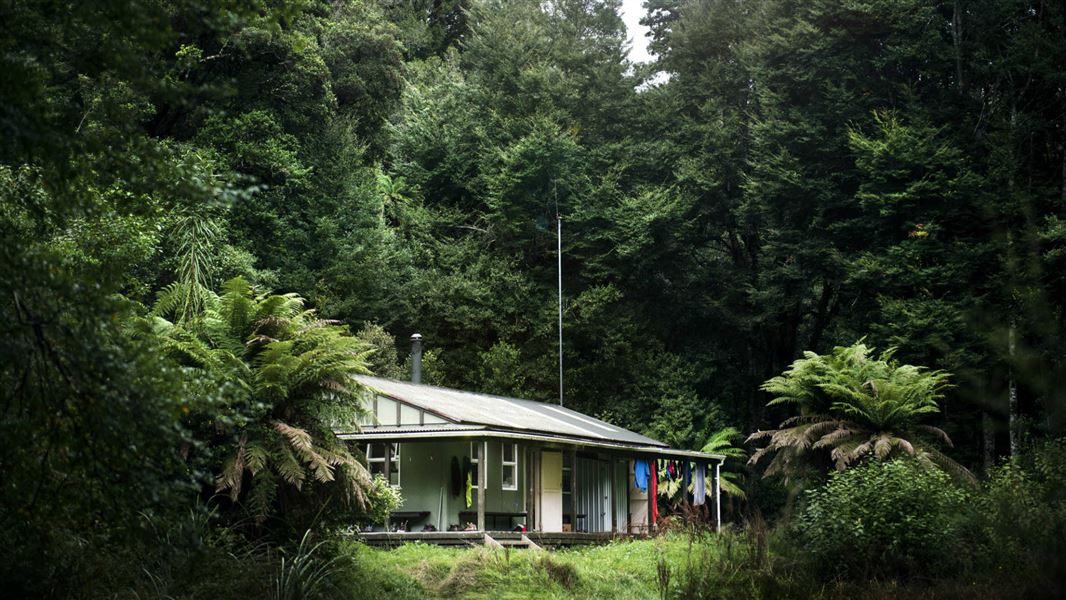
Central Whirinaki Hut
Serviced • 25 bunks • Bay of Plenty • 8.7 km
Central Whirinaki Hut is the gateway to the Whirinaki Te Pua-a-Tāne forest in the Bay of Plenty. It is the most popular hut in the area and has been extended…
Heating • Mattresses • Toilets - non-flush
Walks nearby
Notes from people who have been
No notes yet. If you have been, say what you found.
Something missing or out of date?
Closed, moved, wrong facts, or something we have missed? Travellers keep the Road Guide up to date. Tell us what you found at contribute@parkup.nz and we will check it and add it.
Ask us to take this down
A person reads every request. We do not remove a place until we have checked it.
Sources
- DOC Tracks (API) · CC BY 4.0Crown Copyright: Department of Conservation Te Papa Atawhai. Data sourced from the DOC Developer Portal (api.doc.govt.nz).