Sanctuary Track
WalkBay of PlentyOpen
- Grade
- Easy
- Walking time
- 1 hr 30 min
- Distance
- 2.16 km
- Route
- Loop
- Dogs
- DOC permit only
Getting there
We have not checked a road end or car park for this place yet, so we do not give driving directions to it. Check how to get there before you go. Some routes cross private land and need the landowner's permission.
How to get there, on doc.govt.nzWhirinaki Te Pua-a-Tāne Conservation Park is 90 km south-east of Rotorua, off SH 38. The Sanctuary Track and Night Life Walk are located at the end of Sanctuary Road off Minginui Road just before Minginui Village
Source: DOC Te Papa Atawhai.
Map
Map data © OpenStreetMap contributors. Topo map: LINZ, CC BY 4.0. 38.66968° S, 176.72629° E
About this place
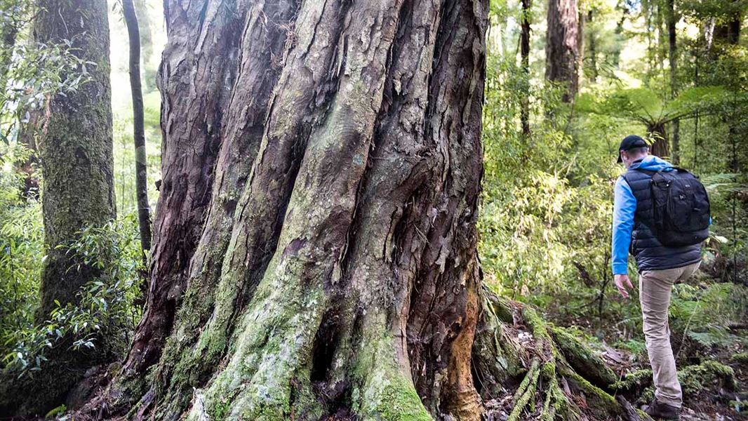
The Sanctuary Track is an easy loop track that goes through remnant podocarp forest. You can also walk it at night as the Whirinaki Night Life Walk.
The route
The Forest Sanctuary protects a striking remnant of podocarp forest. The track is an easy loop starting and ending at the Sanctuary Road car park and bridge which is on the north-east side of the Minginui Stream. The track crosses a bridge over the Minginui Stream and climbs through a number of small terraces and follows a loop before descending and returning to the bridge and car park where the track ends. Birdlife includes rare species, North Island kaka, red and yellow crowned kakariki, kiwi, robin and kereru.
Whirinaki Night Life Walk
Explore the Night Life Walk and listen to the native creatures that venture out after dark. Many of these night 'critters' are usually difficult to see and are not often heard during the day. Glowworms glow brightly in the darkness of night, morepork/ruru beckon ‘welcome’, weta signal their presence from the forest trees and, at the top of the track, you can often hear kiwi. Listen to the song of the short tailed bat and identify the echolocation calls of the long tailed bat. The track starts across the bridge from the Forest Sanctuary carpark. Bright reflectors light the way up and back down the track so don't worry about getting lost at night - all you need is a torch! Audio device and seating area half way along the track.
Source: DOC Te Papa Atawhai.
Nearby stops
Sanctuary Campsite
Basic • Bay of Plenty • 0.7 km
Sanctuary Campsite is a small camp located next to the Minginui Stream in the Bay of Plenty. The area offers walking tracks through podocarp forest.
Fire pit/place for campfires (except in fire bans) • Non-powered/tent sites • Water from stream
Mangamate campsite
Bay of Plenty • 6.3 km
Whirinaki Recreation Camp
Bay of Plenty • 6.4 km
Whirinaki Recreation Camp is a hut situated within the Whirinaki Te Pua-a-Tāne Conservation Park in the Bay of Plenty. It serves as an outdoor recreation and…
Verns Camp
Basic • Bay of Plenty • 7.1 km
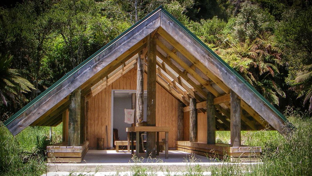
Verns Camp is a campsite in the Bay of Plenty that serves as a good spot to stop for lunch. The site includes a shelter, a fireplace, and water.
Fire pit/place for campfires (except in fire bans) • Non-powered/tent sites • Water from stream
Okahu Road campsite
Bay of Plenty • 7.4 km
Okahu Road campsite is a camping area located in the Bay of Plenty region. The provided data does not list specific facilities or amenities for this site.
Walks nearby
Waiatiu Falls Track
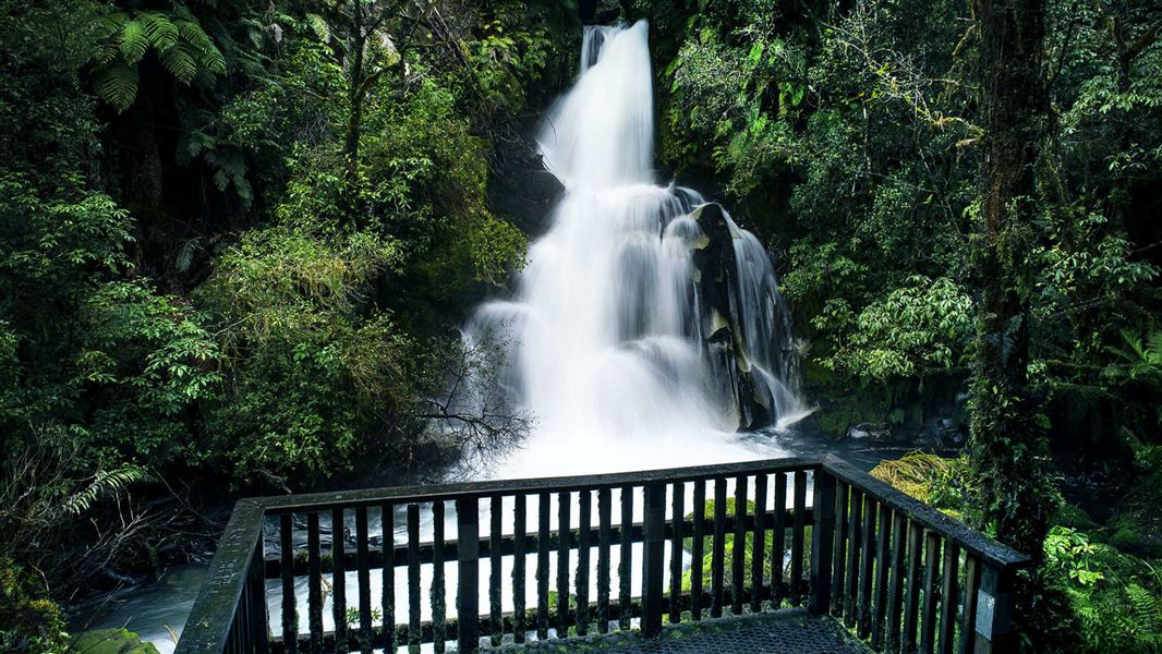
Easy • 1 hr 15 min • 3.2 km • 2.8 km away
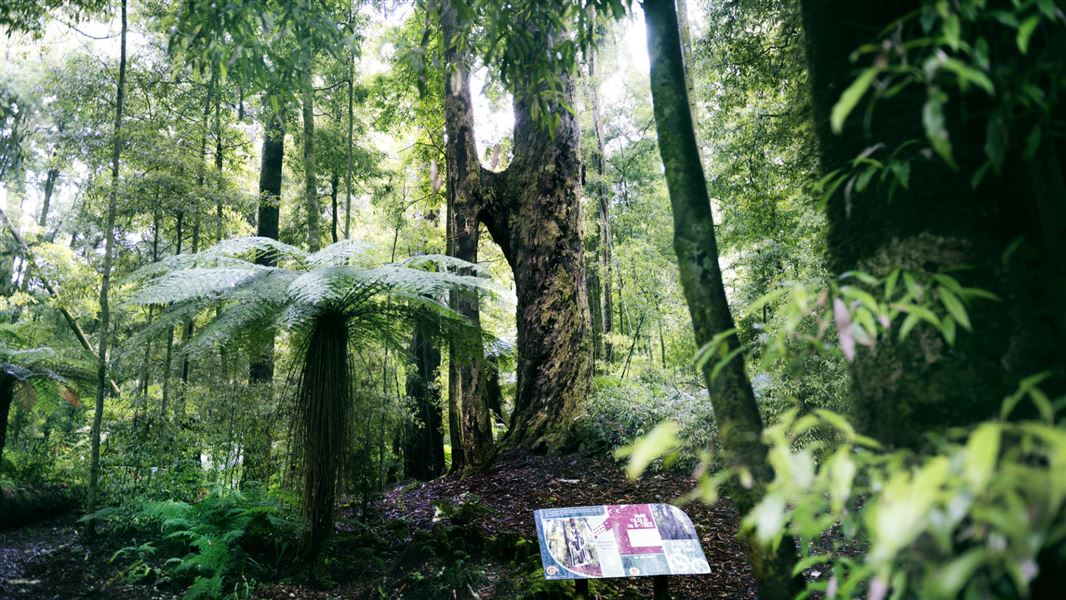
H Tree Track
Easiest • 1 hr • 2.2 km • 3.88 km away
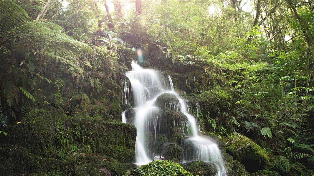
Whirinaki Waterfall Loop Track
Easy • 3 hr 30 min • 11 km • 4.3 km away
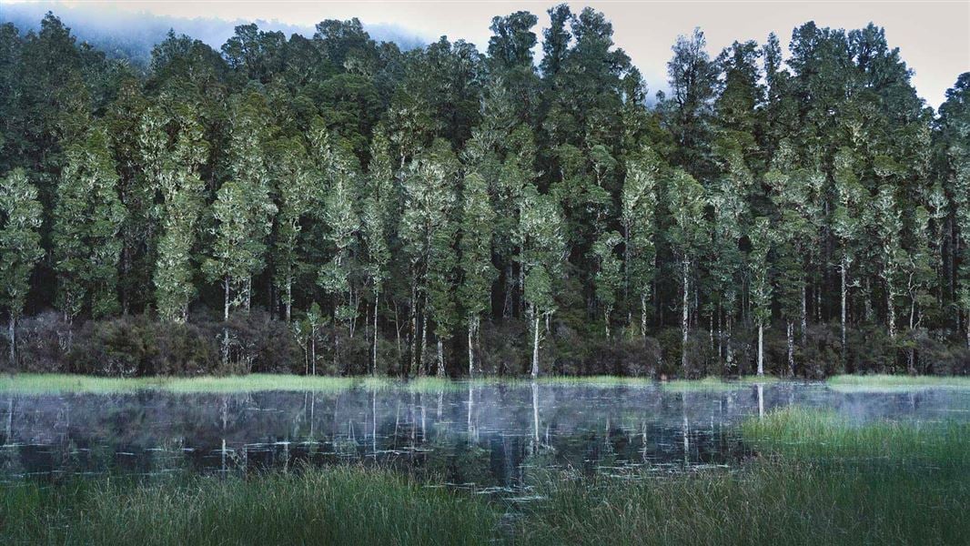
Arohaki Lagoon Track
Easy • 3 hr • 6 km • 4.82 km away
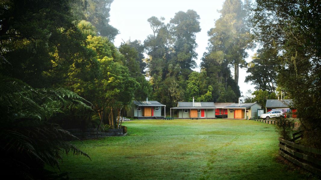
Whirinaki Recreation Camp tracks
Easy • 30 min | 1 hr • 1 km | 2 km • 6.14 km away
Notes from people who have been
No notes yet. If you have been, say what you found.
Something missing or out of date?
Closed, moved, wrong facts, or something we have missed? Travellers keep the Road Guide up to date. Tell us what you found at contribute@parkup.nz and we will check it and add it.
Ask us to take this down
A person reads every request. We do not remove a place until we have checked it.
Sources
- DOC Tracks & Trails · CC BY 4.0Data sourced from the Department of Conservation (DOC), New Zealand.
- OpenStreetMap Trails · ODbL (Open Database License)Contains information from OpenStreetMap, made available under the ODbL.
- DOC Tracks (API) · CC BY 4.0Crown Copyright: Department of Conservation Te Papa Atawhai. Data sourced from the DOC Developer Portal (api.doc.govt.nz).