Okahu Road campsite
CampsiteBay of Plenty
- Cost
- Free
Map
Map data © OpenStreetMap contributors. Topo map: LINZ, CC BY 4.0. 38.67629° S, 176.81056° E
Got a good photo of this place? Send it to us and we will show it with your name.
Nearby stops
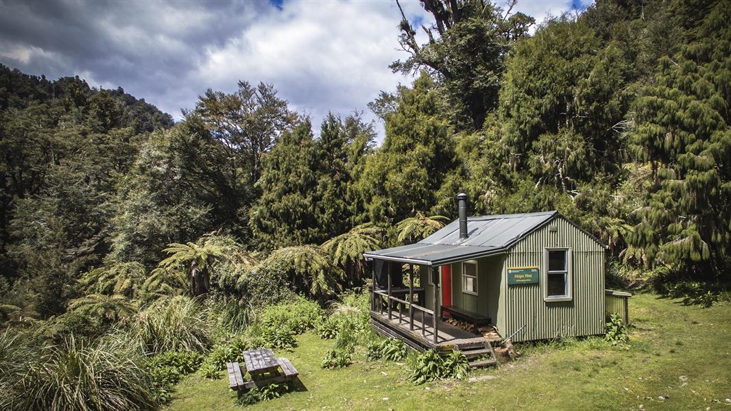
Skips Hut (Whangatawhia)
Standard • 9 bunks • Hawke's Bay • 5 km
Skips Hut is a historic shelter located in the Whirinaki area of Hawke's Bay. It offers views of the surrounding podocarp and beech forests.
Heating • Mattresses • Toilets - non-flush
Sanctuary Campsite
Basic • Bay of Plenty • 7.3 km
Sanctuary Campsite is a small camp located next to the Minginui Stream in the Bay of Plenty. The area offers walking tracks through podocarp forest.
Fire pit/place for campfires (except in fire bans) • Non-powered/tent sites • Water from stream

Mid Okahu Road Campsite
Basic • Bay of Plenty • 7.9 km
Mid Okahu Road Campsite offers grass terraces for camping next to Okahu Stream in the Bay of Plenty. The area provides opportunities for picnicking and walking…
Fire pit/place for campfires (except in fire bans) • Non-powered/tent sites • Water from stream
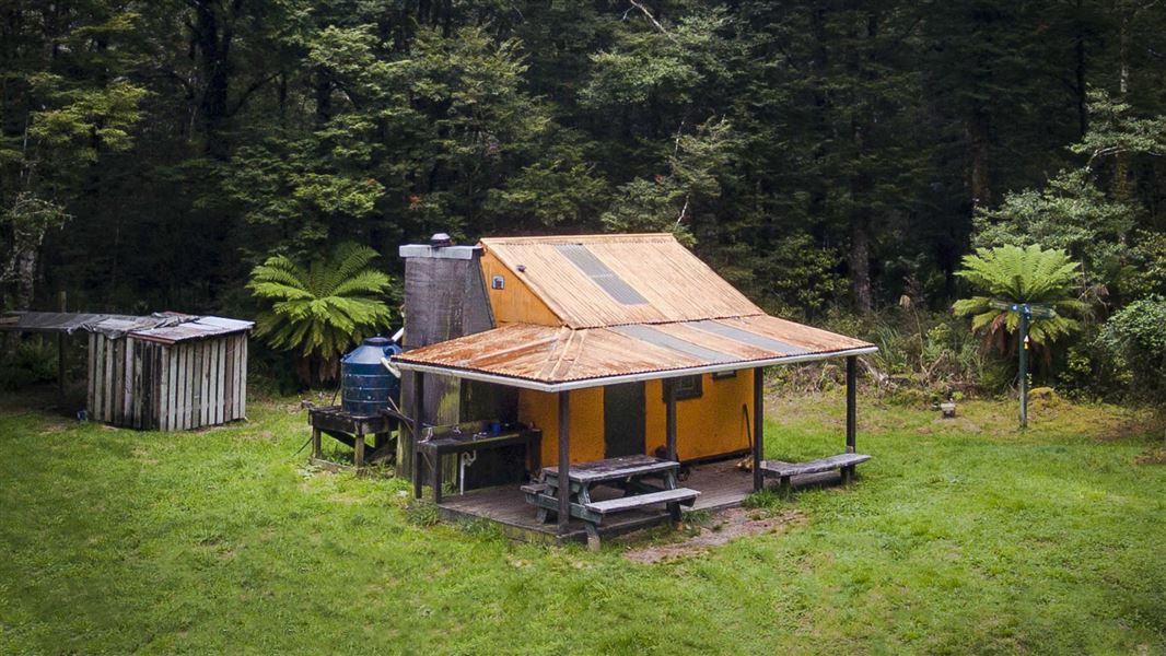
Rogers Hut (Te Wairoa)
Standard • 6 bunks • Hawke's Bay • 8.7 km
Rogers Hut is a standard six-bunk hut located near the border of Te Urewera in Hawke's Bay. Built in 1952 for deer cullers, it is one of only three remaining…
Heating • Mattresses • Toilets - non-flush
Mangamate campsite
Bay of Plenty • 9.6 km
Walks nearby
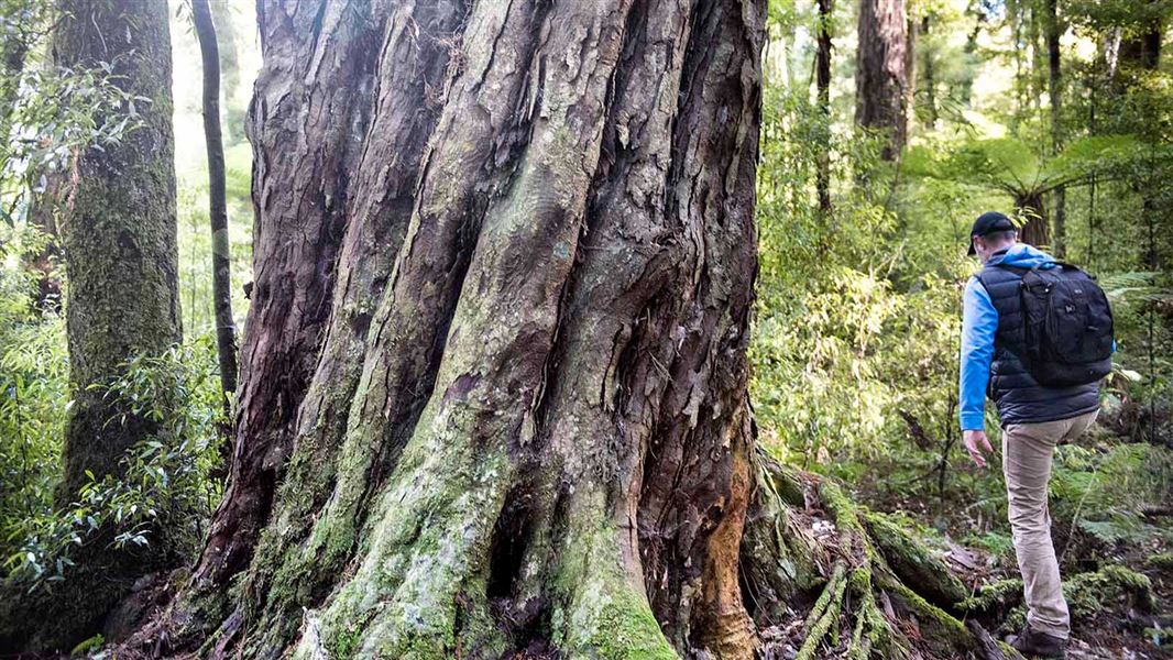
Sanctuary Track
Easy • 1 hr 30 min • 2.16 km • 7.35 km away
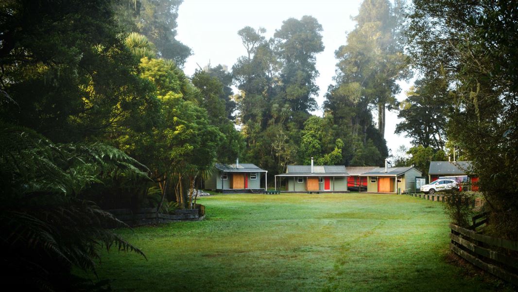
Whirinaki Recreation Camp tracks
Easy • 30 min | 1 hr • 1 km | 2 km • 9.52 km away
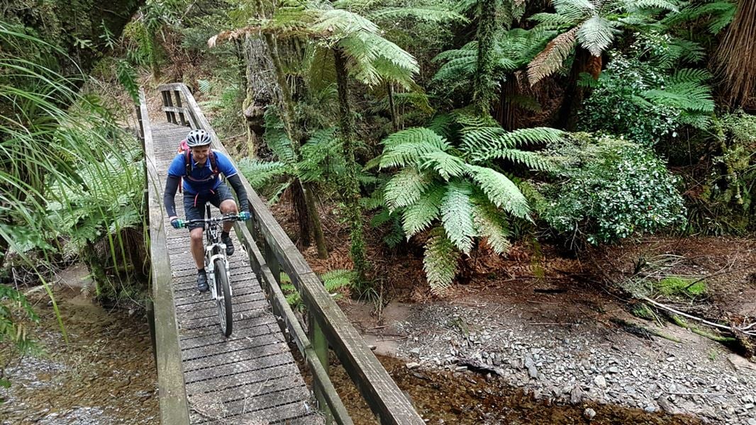
Moerangi Track
Intermediate • 3 days • 35 km • 9.63 km away
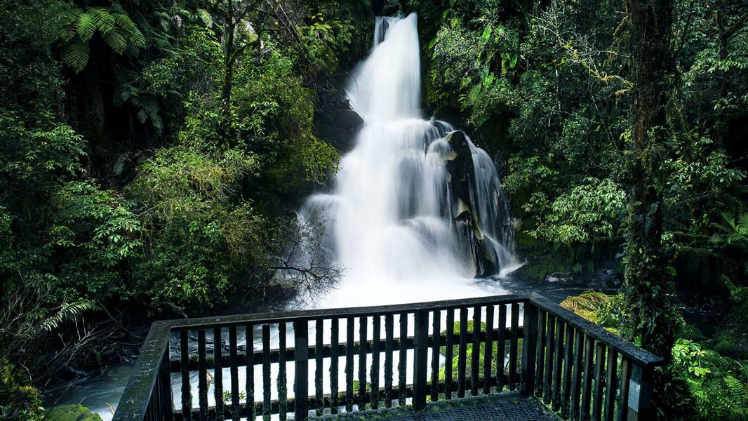
Waiatiu Falls Track
Easy • 1 hr 15 min • 3.2 km • 10.1 km away
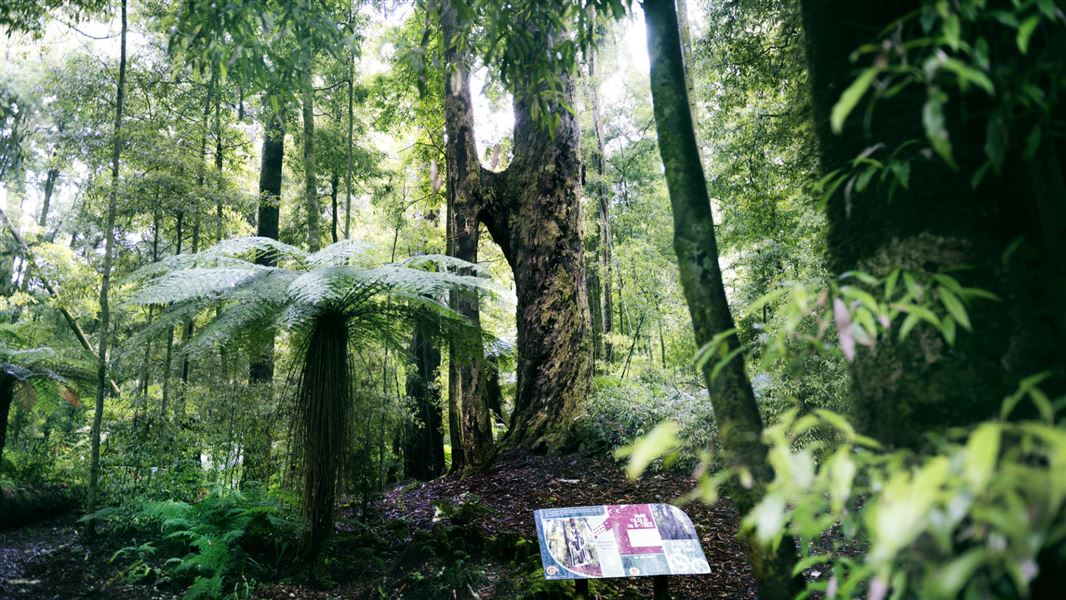
H Tree Track
Easiest • 1 hr • 2.2 km • 10.17 km away
Notes from people who have been
No notes yet. If you have been, say what you found.
Something missing or out of date?
Closed, moved, wrong facts, or something we have missed? Travellers keep the Road Guide up to date. Tell us what you found at contribute@parkup.nz and we will check it and add it.
Ask us to take this down
A person reads every request. We do not remove a place until we have checked it.
Sources
- OpenStreetMap Campsites · ODbL (Open Database License)Contains information from OpenStreetMap, made available under the ODbL.