Mangamate Hut
Standard hutWhirinaki Te Pua-a-Tāne Conservation Park, Bay of PlentyOpen
- Sleeps
- 9 bunks
- Booking
- Not bookable
- Cost
- from $15
- Heating
- Yes
- Drinking water
- Boil first
- Toilet
- Non-flush
Getting there
We have not checked a road end or car park for this place yet, so we do not give driving directions to it. Check how to get there before you go. Some routes cross private land and need the landowner's permission.
How to get there, on doc.govt.nzThe main route to the Mangamate Hut is from the River Road car park. After an hour from the car park, your reach a footbridge crossing the Mangamate Stream. Cross the bridge, turn left and follow the Mangamate stream upstream to a clearing. The track is in and out of the stream – expect 60+ stream crossings.
From the clearing, follow the track markers up the creek. The track climbs up to a benched track that leads all the way up to the hut which is situated high up near the saddle.
Alternatively the hut can be reached as part of the 3 day Mangamate Loop Track.
- Topo map
- Topo50 sheet BG38
- Grid reference
- E1920570, N5703851
Source: DOC Te Papa Atawhai.
Map and tracks
Track lines: DOC Te Papa Atawhai. Map data © OpenStreetMap contributors. Topo map: LINZ, CC BY 4.0. 38.75563° S, 176.68910° E
About this place
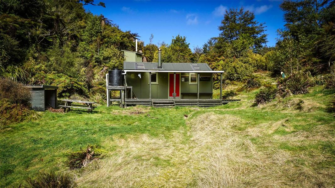
Originally by the Mangamate Stream, the new standard nine-bunk hut is now high on a saddle with great views overlooking the Whirinaki. It is surrounded by podocarp forest.
On the way here
Mangamate Loop Track · 3 days
Day 2: Central Whirinaki Hut to Mangamate Hut
Time: 4 hr 30 min
8.2 km From Central Whirinaki Hut carry on along the Whirinaki River for 45 min (2 km), till you reach Taumutu bridge. The track branches left onto the Taumutu Stream and after around 1 km branches left again onto the Kakanui Stream. From here the route is almost entirely in the stream. After about 1 hr 30 min, the track climbs sharply to Mangamate Hut, which is located high on a ridge.
Day 3: Mangamate Hut to River Rd carpark
Time: 4 hr
10.1 km The track travels steeply down from the hut where it now enters the Upper Mangamate Stream. From the hut it's 3 hr (6.6 km) down-stream to the Mangamate bridge. The track is in and out of the stream – expect 60+ stream crossings. At the Mangamate bridge the loop closes. With the Whirinaki River on your left, follow the track back to River Road car park.
Source: DOC Te Papa Atawhai.
Fees and bookings
Before you go, buy Hut Tickets for each night's stay. Put these in the honesty box at the hut. Or buy a Backcountry Hut Pass that gives unlimited use at most Standard and Serviced huts for a 12 month period. Retailers that sell hut tickets and passes
Source: DOC Te Papa Atawhai.
Nearby stops
Central Whirinaki Hut
Serviced • 25 bunks • Bay of Plenty • 3.6 km
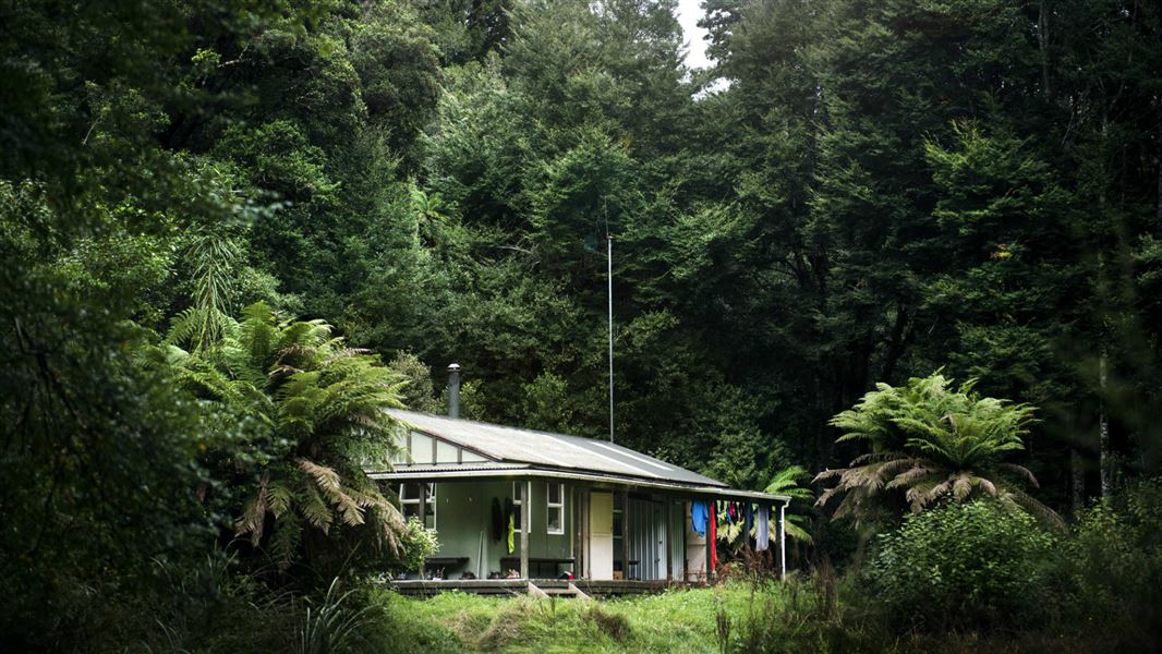
Central Whirinaki Hut is the gateway to the Whirinaki Te Pua-a-Tāne forest in the Bay of Plenty. It is the most popular hut in the area and has been extended…
Heating • Mattresses • Toilets - non-flush
Moerangi Hut
Standard • 9 bunks • Hawke's Bay • 3.1 km
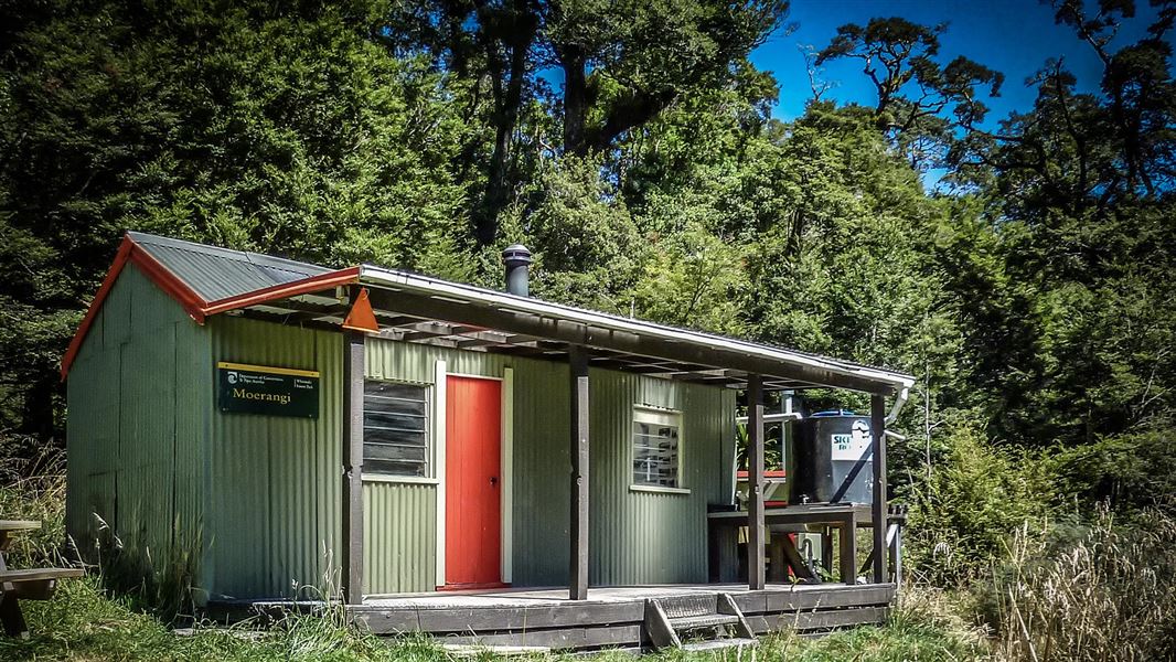
Moerangi Hut is a DOC hut located on the Moerangi mountain biking and tramping track in Hawke's Bay. It is a popular destination for overnight trips or as part…
Heating • Mattresses • Toilets - non-flush
Verns Camp
Basic • Bay of Plenty • 3.8 km
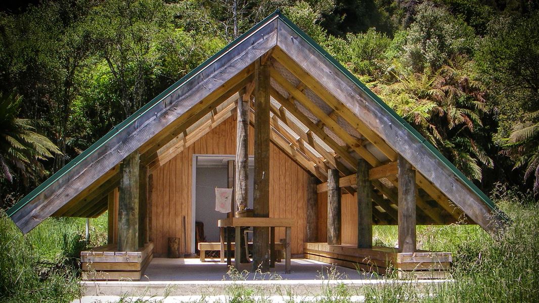
Verns Camp is a campsite in the Bay of Plenty that serves as a good spot to stop for lunch. The site includes a shelter, a fireplace, and water.
Fire pit/place for campfires (except in fire bans) • Non-powered/tent sites • Water from stream
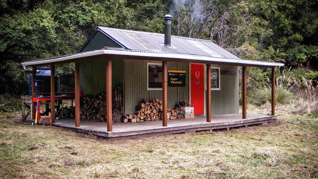
Upper Whirinaki Hut
Standard • 9 bunks • Bay of Plenty • 6.5 km
Upper Whirinaki Hut is a standard nine-bunk hut located in the East Coast region. It is a popular accommodation option for hunters.
Heating • Mattresses • Toilets - non-flush
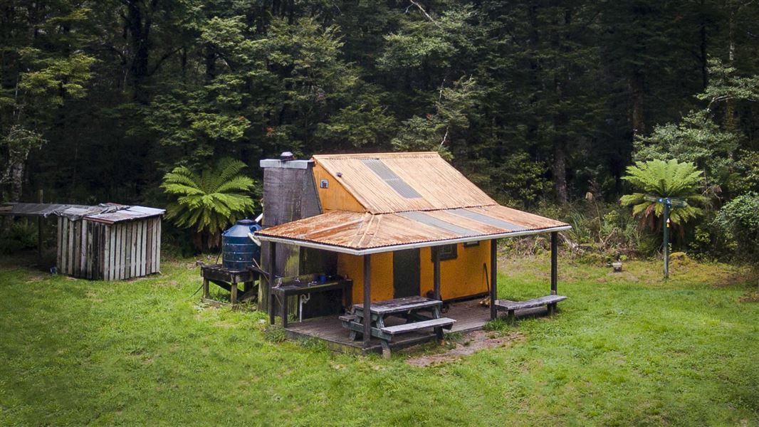
Rogers Hut (Te Wairoa)
Standard • 6 bunks • Hawke's Bay • 8.7 km
Rogers Hut is a standard six-bunk hut located near the border of Te Urewera in Hawke's Bay. Built in 1952 for deer cullers, it is one of only three remaining…
Heating • Mattresses • Toilets - non-flush
Walks nearby
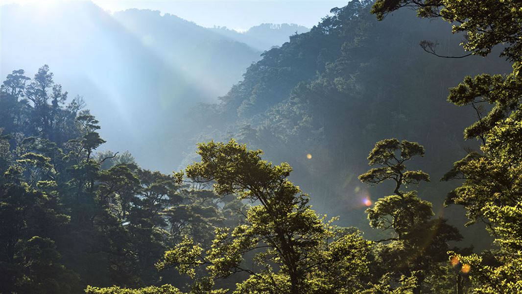
Te Pua-a-Tāne Circuit
Advanced • 5 days • 78.7 km • 3.12 km away
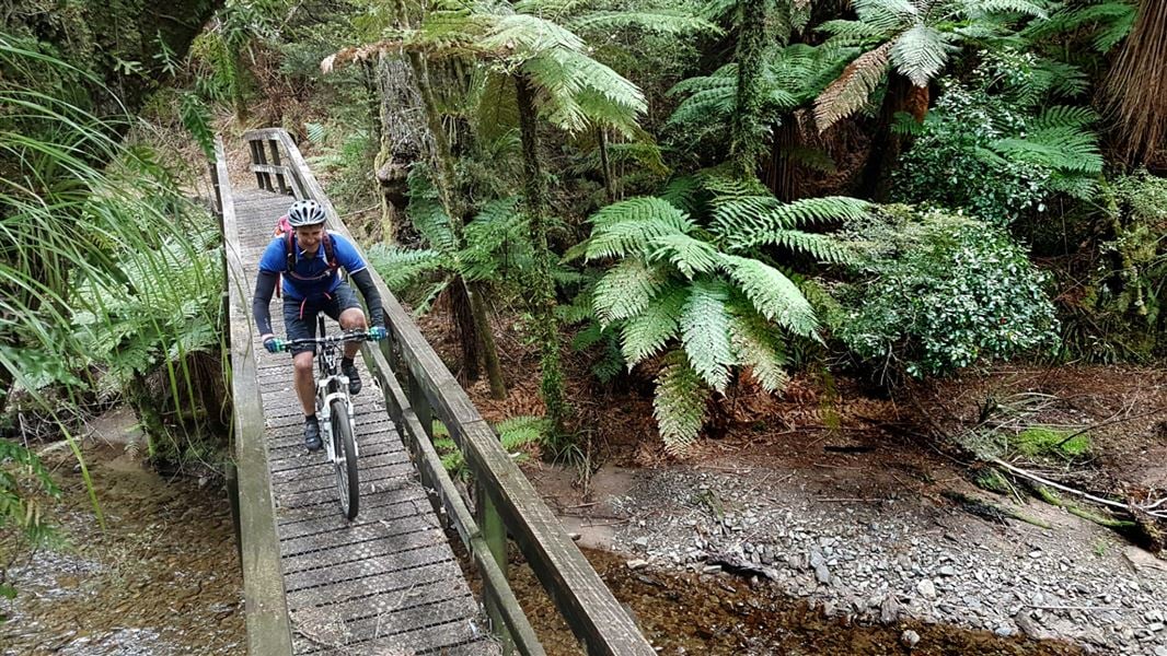
Moerangi Track
Intermediate • 3 days • 35 km • 4.12 km away
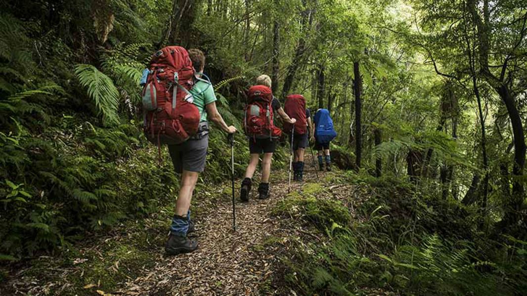
Whirinaki Track
Intermediate • 2 days • 25.6 km • 4.51 km away
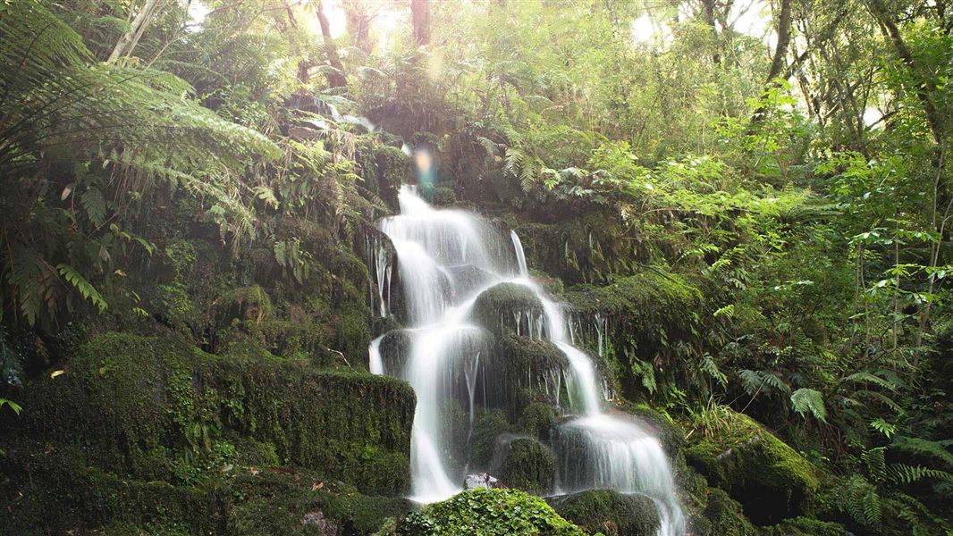
Whirinaki Waterfall Loop Track
Easy • 3 hr 30 min • 11 km • 6.23 km away
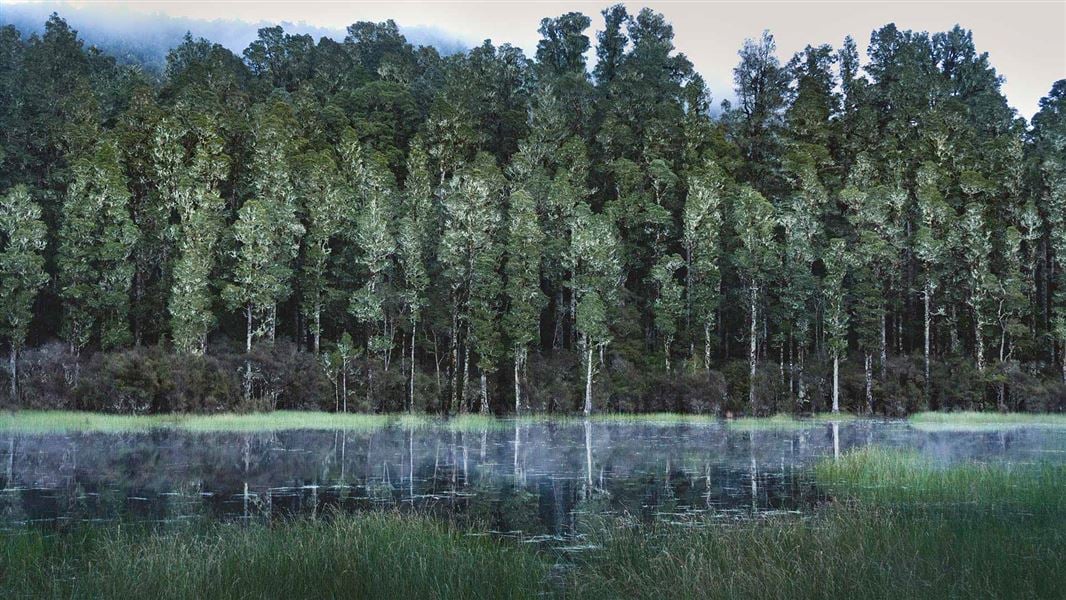
Arohaki Lagoon Track
Easy • 3 hr • 6 km • 8.35 km away
Contact
DOC Customer Service Centre
Regional DOC service centre.
Notes from people who have been
No notes yet. If you have been, say what you found.
Something missing or out of date?
Closed, moved, wrong facts, or something we have missed? Travellers keep the Road Guide up to date. Tell us what you found at contribute@parkup.nz and we will check it and add it.
Ask us to take this down
A person reads every request. We do not remove a place until we have checked it.
Sources
- OpenStreetMap Huts · ODbL (Open Database License)Contains information from OpenStreetMap, made available under the ODbL.
- DOC Huts · CC BY 4.0Data sourced from the Department of Conservation (DOC), New Zealand.
- DOC Huts (API) · CC BY 4.0Crown Copyright: Department of Conservation Te Papa Atawhai. Data sourced from the DOC Developer Portal (api.doc.govt.nz).