Central Whirinaki Hut
Serviced hutWhirinaki Te Pua-a-Tāne Conservation Park, Bay of PlentyOpen
Current advisories
Central Whirinaki Hut open for bookings
26 August 2026
Central Whirinaki Hut is open for bookings on 1 September for stays from 1 October 2026. First published on 27 August 2026.
Source: DOC Te Papa Atawhai alerts.
- Sleeps
- 25 bunks
- Booking
- Can book
- Cost
- from $10
- Heating
- Yes
- Drinking water
- Boil first
- Toilet
- Non-flush
Getting there
We have not checked a road end or car park for this place yet, so we do not give driving directions to it. Check how to get there before you go. Some routes cross private land and need the landowner's permission.
How to get there, on doc.govt.nzFrom Rotorua travel 25 km south on SH5 and turn left at Maunga Kākaramea onto SH38. Continue following SH38 heading east for the next 36 km arriving in Murupara. Keep on this route and continue south along Te Whaiti road for the next 20 km arriving at the turnoff onto Minginui road.
Travel along Minginui road for 9 km until you reach Minginui Village, the road turns to the right and continues on the border of Minginui Village and bring you to a crossroad intersection. Turn right at the crossroad on to Old Te Whaiti road a follow down an unpaved gravel road turning left after the first bridge and left again onto River road.
Follow down a one-lane road for 7 km until you arrive at River Road carpark.
From the crossroad near Minginui turn right as if you were going to River road carpark, however, do not turn left after the first bridge, continue over the second bridge and turn left onto South/Main road. Follow the direction signs marked at every major intersection to guide you for the next 43 km onto Plateau carpark.
Turn onto Pohokura Road near the Waipunga Falls rest area and follow down an unpaved road over the bridge and onwards for the next 18 km with the Waipunga river to your left. After 18kms you will meet up with the directions signs to assist you onto Plateau carpark. You can also follow the exit signs back to Minginui Village and accessing through River Road carpark.
These directions will also help you access both Matakuhia Carpark and Pukahunui Carparks
Times from carparks:
The track to Central Whirinaki Hut is a good standard, making for quick and easy travel. From Vern’s Camp the track follows high above the river giving some birds-eye views. Beware of ongaonga (stinging nettle).
- Topo map
- Topo50 sheet BG38
- Grid reference
- E1917397, N5702324
Source: DOC Te Papa Atawhai.
Map and tracks
Track lines: DOC Te Papa Atawhai. Map data © OpenStreetMap contributors. Topo map: LINZ, CC BY 4.0. 38.77076° S, 176.65303° E
About this place
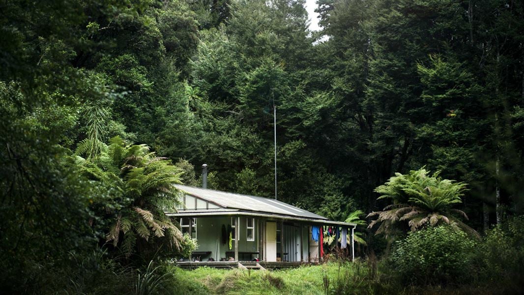
Central Whirinaki is the gateway to Whirinaki Te Pua-a-Tāne. It is the most popular hut in the Whirinaki and has been extended to accommodate more people.
On the way here
Te Pua-a-Tāne Circuit · 5 days
Day 1: River Road car park to Central Whirinaki Hut
Time: 5 hr
km Begin at the River Road car park and travel towards the Whirinaki Waterfall, then Vern’s Camp, and stay overnight at Central Whirinaki Hut.
Day 2: Central Whirinaki Hut to Upper Te Hoe Hut
Time: 10 hr
17.7 km From Central Whirinaki Hut continue south along the Whirinaki River. The track will fork at the Taumutu bridge. Rather than crossing the bridge, keep left and follow the Taumutu Stream to Upper Whirinaki Hut. From Upper Whirinaki Hut its another 6 hr 30 min (11 km) to Upper Te Hoe Hut where you’ll stop for night two.
Whirinaki Track · 2 days
Whirinaki track elevation profile – view larger in Whirinaki walks brochure The Whirinaki Track is the premier Whirinaki experience. Following the Whirinaki River, walkers will move from beech forest to lowland podocarp forests with an overnight in Central Whirinaki Hut. As the highest standard tramping track in the park, it is relatively easy and suitable for people of low to moderate fitness levels. There are five toilets along the track.
Day 1: Plateau Rd to Central Whirinaki Hut
Time: 3 hr
9.6 km Begin your walk at the Plateau Road end. After 1 hour of walking, cross the Caves swing bridge. Keep an eye out for the massive cave that gives this area its name. After the swing bridge carry on with the river on the left till you reach the next major bridge named Taumutu. From the Taumutu bridge carry on till you reach Central Whirinaki Hut. This is the largest hut in the whole park and is an ideal place for an overnight stay. Relax, cook supper, and keep an eye out for whio/blue duck in the river near the hut. New Zealand forests come alive at dusk, look for pekapeka/long tailed bats flying around the hut. Note: There is a soak hole 30 minutes south of the Central Whirinaki Hut. There is plenty room to pass however be cautious when approaching the soak hole. It is located at grid reference (E1917848 N5701039) /lat38.7821248 log176.6589134.
Day 2: Central Whirinaki Hut to River Rd
Time: 5 hr
km From Central Whirinaki Hut continue on the Whirinaki Track north to Vern’s Camp. Vern’s Camp has a shelter, toilet and is about 2 hr 30 min or 8 km from Central, so it makes a great lunch stop. After lunch carry on down the river for another hour (3 km) to the Whirinaki Waterfall. The 200 m detour to the falls is well worth the time. Across the bridge about 100 m further on, you’ll find another composting toilet and picnic tables. After visiting the falls, double back and follow the track with the river on your left side. Cross the Mangamate bridge and follow the track along the river. After about 1 hour, cross the bridge over the beautiful Te Whaiti-Nui-a-Toi Canyon. From the canyon it is only a short walk further to the River Rd carpark. Keep an ear out for Kaka/native parrot in the canopy above.
Mangamate Loop Track · 3 days
Day 1: River Rd car park to Central Whirinaki Hut
Time: 5 hr
km Begin at the River Rd carpark. After crossing Te Whaiti-Nui-a-Toi Canyon bridge, keep the Whirinaki River on your right side and head south. After 1 hr (3.5 km), cross the Mangamate Bridge (you’ll end up back here on day 3). Carry on past the Whirinaki Waterfall and up to Vern’s Campsite. With a shelter and toilet, this is a good place to stop for lunch. From Vern’s it's another 8 km to the first overnight stay at Central Whirinaki Hut.
Day 2: Central Whirinaki Hut to Mangamate Hut
Time: 4 hr 30 min
8.2 km From Central Whirinaki Hut carry on along the Whirinaki River for 45 min (2 km), till you reach Taumutu bridge. The track branches left onto the Taumutu Stream and after around 1 km branches left again onto the Kakanui Stream. From here the route is almost entirely in the stream. After about 1 hr 30 min, the track climbs sharply to Mangamate Hut, which is located high on a ridge.
Source: DOC Te Papa Atawhai.
Fees and bookings
1 May - 30 September
1 October - 30 April
Weekdays
Weekends
1 December - 29 February
Weekdays
Weekends
Camping
Before you go, buy Hut Tickets for each night's stay. Put this in the honesty box at the hut. Or buy a Backcountry Hut Pass or Campsite Pass. About hut tickets and passes About campsite passes Retailers that sell hut tickets and passes DOC Campsite Pass
Bookings are open for stays up to 30 June 2027. If no availability shows online for your dates, the hut is fully booked. No spaces are kept for visitors arriving without a booking. Phone and in‑person bookings made at a visitor centre incur a $10 service fee. Same‑day bookings are available online until 8 pm if spaces remain. Book Central Whirinaki Hut online
Source: DOC Te Papa Atawhai.
On these tracks
Source: DOC Te Papa Atawhai.
Nearby stops
Mangamate Hut
Standard • 9 bunks • Bay of Plenty • 3.6 km
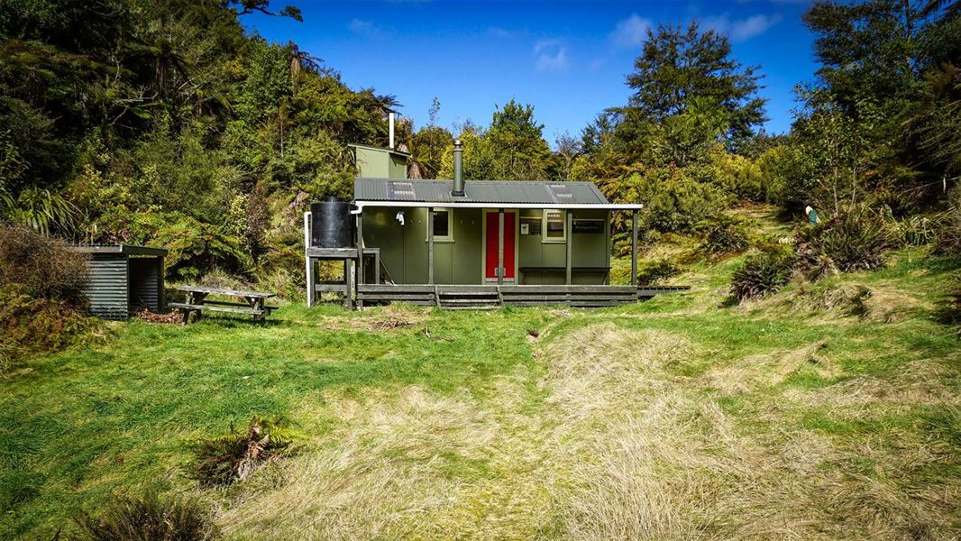
Mangamate Hut is a standard nine-bunk hut located high on a saddle overlooking the Whirinaki in the East Coast region. It is surrounded by podocarp forest and…
Heating • Mattresses • Toilets - non-flush
Upper Whirinaki Hut
Standard • 9 bunks • Bay of Plenty • 5 km
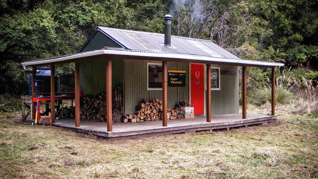
Upper Whirinaki Hut is a standard nine-bunk hut located in the East Coast region. It is a popular accommodation option for hunters.
Heating • Mattresses • Toilets - non-flush
Moerangi Hut
Standard • 9 bunks • Hawke's Bay • 6.6 km
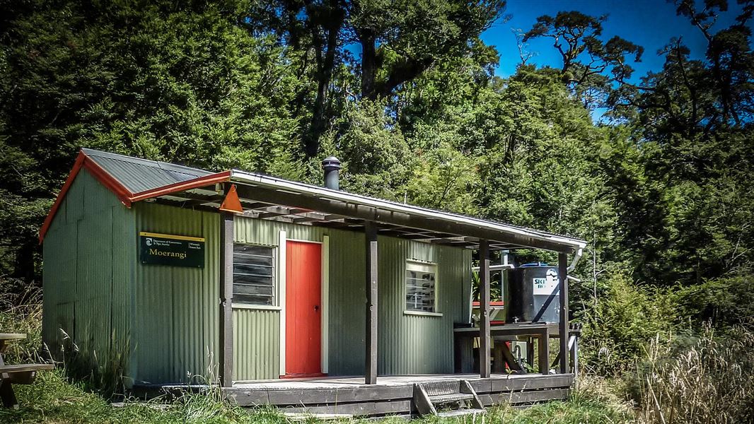
Moerangi Hut is a DOC hut located on the Moerangi mountain biking and tramping track in Hawke's Bay. It is a popular destination for overnight trips or as part…
Heating • Mattresses • Toilets - non-flush
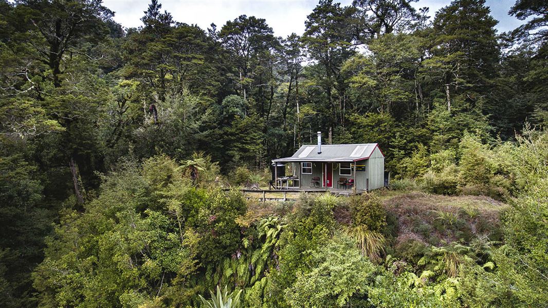
Upper Te Hoe Hut
Standard • 9 bunks • Hawke's Bay • 9.6 km
Upper Te Hoe Hut is a standard nine-bunk hut located in the beech forest of Hawke's Bay. It offers elevated views and serves as a good midway point between…
Heating • Mattresses • Toilets - non-flush
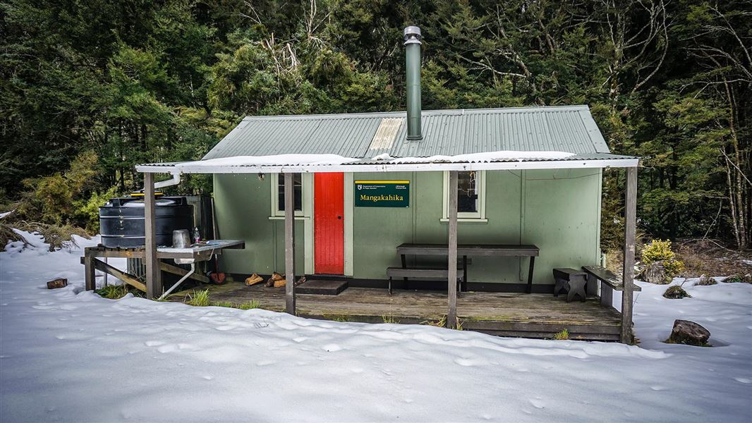
Mangakahika Hut
Standard • 9 bunks • Hawke's Bay • 11.1 km
Mangakahika Hut is a DOC hut located in the East Coast region, set amidst beech forest. It is a popular destination for hunters and is often used as a…
Heating • Mattresses • Toilets - non-flush
Walks nearby
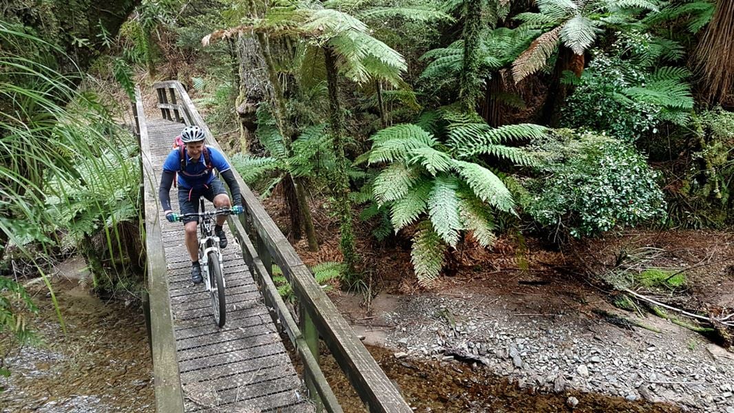
Moerangi Track
Intermediate • 3 days • 35 km • 7.65 km away
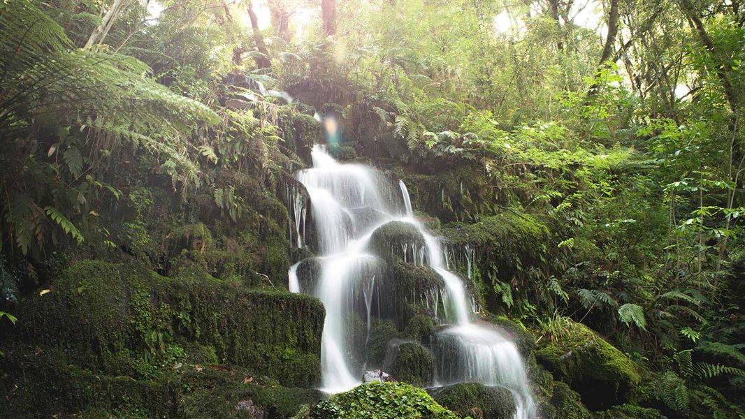
Whirinaki Waterfall Loop Track
Easy • 3 hr 30 min • 11 km • 8.7 km away
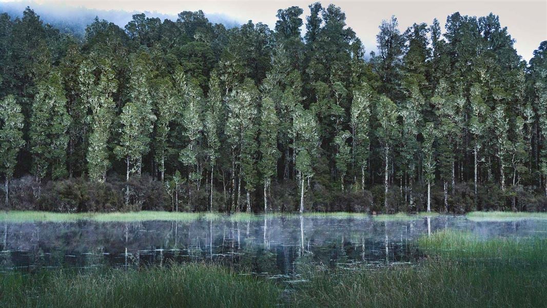
Arohaki Lagoon Track
Easy • 3 hr • 6 km • 10.07 km away
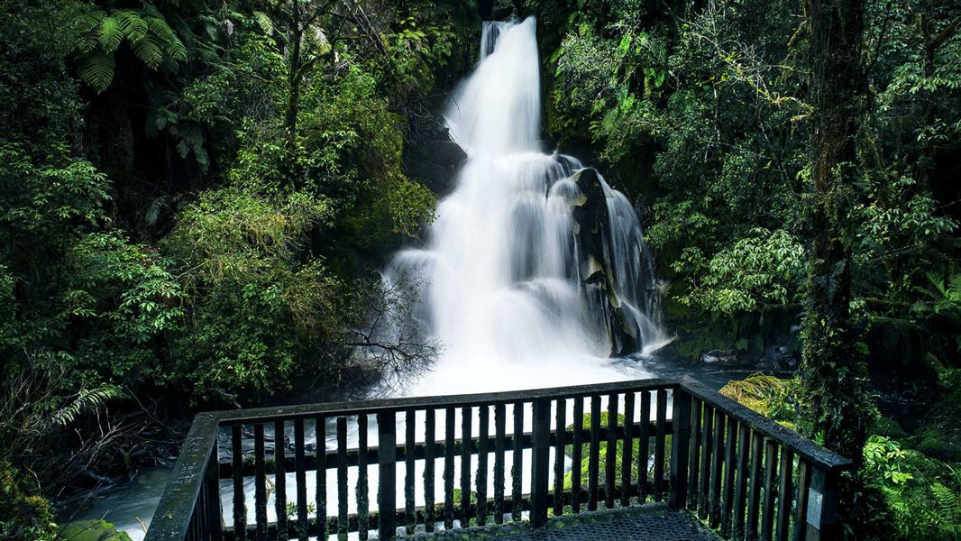
Waiatiu Falls Track
Easy • 1 hr 15 min • 3.2 km • 11.45 km away
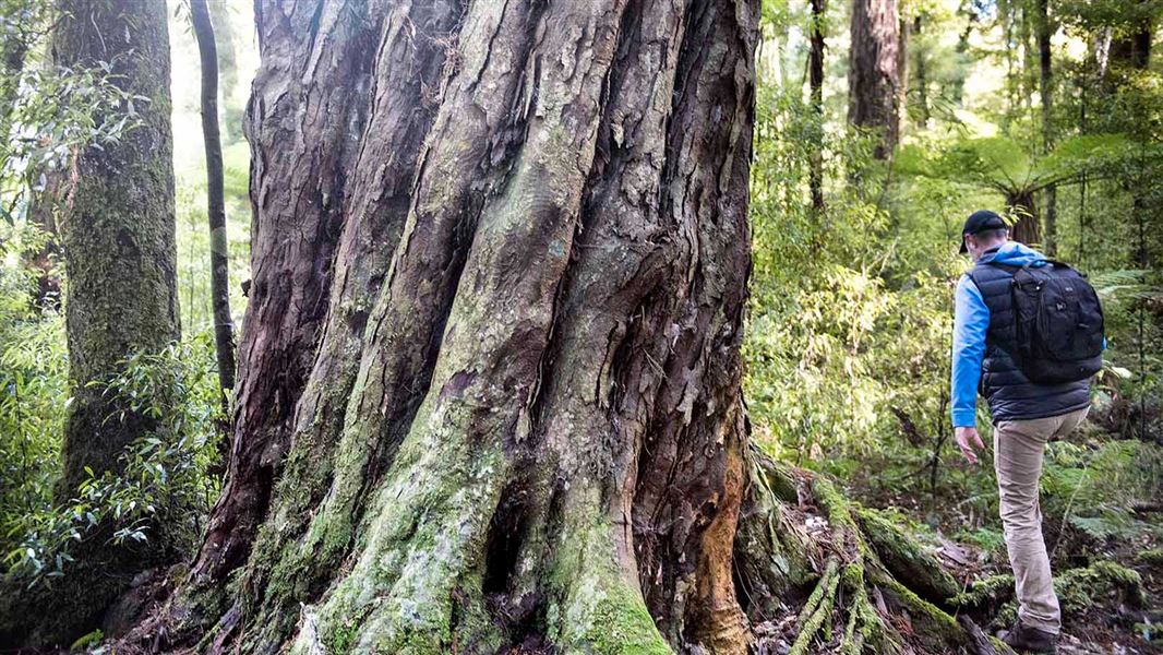
Sanctuary Track
Easy • 1 hr 30 min • 2.16 km • 12.91 km away
Contact
DOC Customer Service Centre
Regional DOC service centre.
Notes from people who have been
No notes yet. If you have been, say what you found.
Something missing or out of date?
Closed, moved, wrong facts, or something we have missed? Travellers keep the Road Guide up to date. Tell us what you found at contribute@parkup.nz and we will check it and add it.
Ask us to take this down
A person reads every request. We do not remove a place until we have checked it.
Sources
- DOC Huts (API) · CC BY 4.0Crown Copyright: Department of Conservation Te Papa Atawhai. Data sourced from the DOC Developer Portal (api.doc.govt.nz).
- OpenStreetMap Huts · ODbL (Open Database License)Contains information from OpenStreetMap, made available under the ODbL.
- DOC Huts · CC BY 4.0Data sourced from the Department of Conservation (DOC), New Zealand.