Locke Stream Hut
Standard hutArthur's Pass National Park, West CoastOpen
- Sleeps
- 18 bunks
- Booking
- Can book
- Cost
- from $15
- Heating
- Yes
- Drinking water
- Not drinkable
- Toilet
- Non-flush
Getting there
We have not checked a road end or car park for this place yet, so we do not give driving directions to it. Check how to get there before you go. Some routes cross private land and need the landowner's permission.
How to get there, on doc.govt.nz- Topo map
- Topo50 sheet BU21
Source: DOC Te Papa Atawhai.
Map and tracks
Track lines: DOC Te Papa Atawhai. Map data © OpenStreetMap contributors. Topo map: LINZ, CC BY 4.0. 42.73987° S, 171.83021° E
About this place
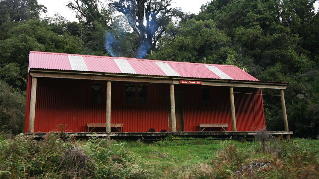
This is a standard 18-bunk hut in the Hokitika area. This historic hut is a relic of the Government’s 1939s fitness programme, and remains in quite original condition.
On the way here
Harper Pass Route · 4-5 days
Aickens-Kiwi Hut-Locke Stream Hut
Time: 6 hours one way
Parties travelling from the east and finding themselves stuck on the far side of the Otira can use an emergency flood track, adding 2 hours to the tramp. This marked route starts upstream and takes you to the Morrison footbridge at the confluence of the Otira and Deception rivers. In extreme weather conditions, this route can also be cut off by flooded sections. Do not use the emergency flood track to start your tramp as there are many river crossings further up the Taramakau valley. If Otira River is safe to cross, start from the Aickens car park, cross the stile and follow the fence line to the river. After crossing the Otira, make for the end of the band of tall trees immediately opposite (marked by an orange triangle). A track leads through scrub and gorse to grassy flats. Continue walking along these grassy flats past Pfeifer Creek and the signposted turn-off to Lake Kaurapataka. Stay on the true left bank and cross Otehake River and then further upstream cross the Taramakau to its true right at the best place for you. Continue along the true right for about a kilometre above the Otehake where a sign will indicate the short side-track to Kiwi Hut (8 bunks). Warning: The Taramakau River below Kiwi Hut has changed course and most of the track has been washed away. Expect numerous random river crossings. Upstream from Kiwi Hut remain on the true right. Towards Locke Stream the riverbed begins to narrow and eroded banks on the true right become steeper. Cross to the true left just downstream of the Taramakau/Locke Stream confluence and continue on over Locke Stream where you will locate a short track leading through the forest to Locke Stream Hut (18 bunks).
Locke Stream Hut – Hurunui No 3 Hut
Time: 6–7 hours one way
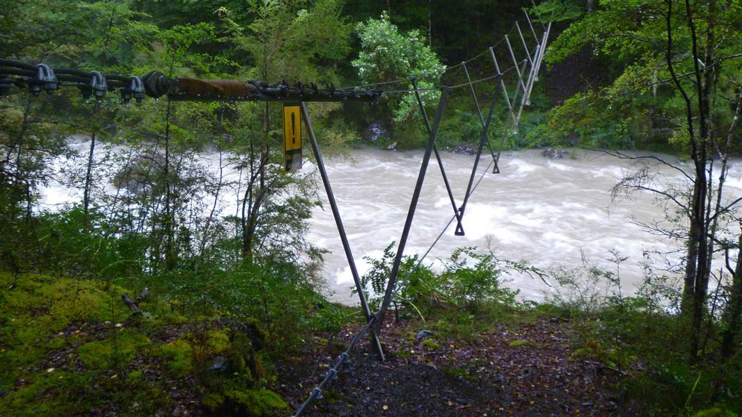
Above Locke Stream Hut the track travels along the true left, at times in the forest and at times along the riverbed. Around 45 mins from the hut, an active slip feeds into the Taramakau River from the true left. It may be necessary to cross the Taramakau River to the true right below the slip and back to the true left afterwards, dependant on river levels. Crossing should not be attempted in heavy rain. It may be possible to negotiate a way past at the base of the slip. During periods of rainfall, especially heavy rainfall it not recommended to walk beneath the slip due to potential active rockfall. The swing bridge is about 1 hour from Locke Stream Hut. Cross the bridge to the true right of the river, where again the track travels through forest and riverbed. Eventually the track leaves the river and begins to climb towards the pass. The track is steep and rough in places. As forest gives way to alpine scrub and tussock, the gradient eases. A sign marking the summit of the pass is reached in 3 hours. The track drops fairly quickly on the eastern side of the pass into the headwaters of Hurunui River. After 30 minutes you will reach the two-person Harper Pass Bivvy, which is attractively sited in a grove of ribbonwood/mānatu above the stream on the true right. Below Harper Pass Bivvy walking becomes a lot easier as the track drops down through beech/tawhai forest. As the valley opens, the track emerges onto river flats, with Camerons Hut standing out from the edge of the forest. (From Harper Pass Bivvy to Camerons Hut is 2 hours.) Camerons Hut is showing its age. Cameron Stream has an emergency walk-wire 100 metres up from the Hurunui riverbed. From here the track returns to the forest and keeps just within the fringes until it emerges again on river flats at Hurunui No 3 Hut (16 bunks).
Source: DOC Te Papa Atawhai.
Fees and bookings
Before you go, buy Hut Tickets for each night's stay. Put these in the honesty box at the hut. Or buy a Backcountry Hut Pass that gives unlimited use at most Standard and Serviced huts for a 12 month period. Retailers that sell hut tickets and passes Built with Department of Internal Affairs funding when the Taramakau-Harper Pass – Lake Sumner route was developed as part of a Government programme encouraging physical fitness. It has been in regular use by trampers and hunters ever since. Taramakau Valley, Arthur's Pass National Park, DOC West Coast The hut will continue to be used for recreation via the Harper Pass route. Major maintenance was carried out in 1993 in accordance with a conservation plan (Paul Mahoney, 1992) with the objective of retaining the hut’s original character. Te Araroa – The Trail Pass Te Araroa Trail Pass
Book Locke Stream Hut online
Source: DOC Te Papa Atawhai.
Nearby stops
Harper Pass Bivvy
Basic/bivvies • 2 bunks • Canterbury • 5.7 km
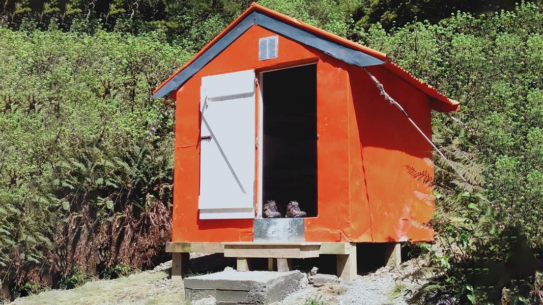
Harper Pass Bivvy is a basic two-bunk hut located in the North Canterbury and Arthur's Pass area. It provides simple shelter for hikers in the region.
Mattresses • Toilets - non-flush • Water from stream
Kiwi Hut – West Coast
Standard • 10 bunks • West Coast • 7.4 km
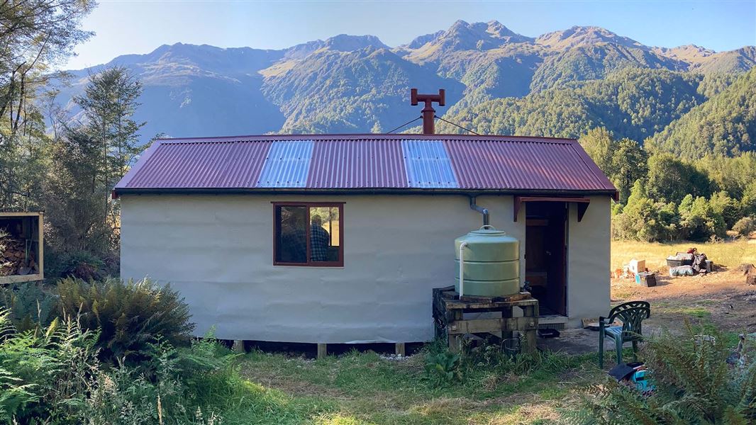
Kiwi Hut is a standard ten-bunk hut located in the Hokitika area of the West Coast.
Heating • Mattresses • Toilets - non-flush
Camerons Hut
Basic/bivvies • 4 bunks • Canterbury • 10.5 km
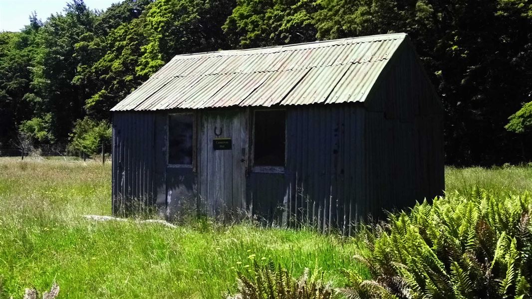
Camerons Hut is a basic four-bunk hut located in the North Canterbury and Arthur's Pass area.
Heating • Toilets - non-flush • Water from stream
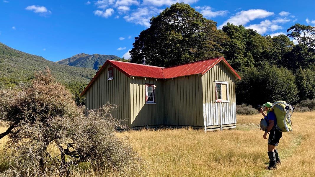
Hurunui No. 3 Hut
Standard • 16 bunks • Canterbury • 13.6 km
Hurunui No. 3 Hut is a standard 16-bunk hut located in the North Canterbury and Arthur's Pass area. It is a historic site that reflects early Government…
Heating • Mattresses • Toilets - non-flush
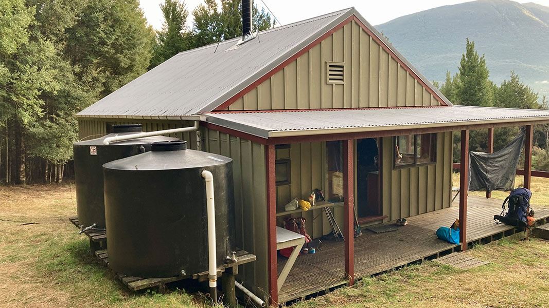
Hurunui Hut
Standard • 15 bunks • Canterbury • 22.1 km
Hurunui Hut is a standard 15-bunk hut located in the North Canterbury and Arthur's Pass area.
Heating • Mattresses • Toilets - non-flush
Walks nearby
Contact
Arthur's Pass National Park Visitor Centre
104 West Coast Road, Arthur's Pass 7654
Regional DOC service centre.
Notes from people who have been
No notes yet. If you have been, say what you found.
Something missing or out of date?
Closed, moved, wrong facts, or something we have missed? Travellers keep the Road Guide up to date. Tell us what you found at contribute@parkup.nz and we will check it and add it.
Ask us to take this down
A person reads every request. We do not remove a place until we have checked it.
Sources
- OpenStreetMap Huts · ODbL (Open Database License)Contains information from OpenStreetMap, made available under the ODbL.
- DOC Huts · CC BY 4.0Data sourced from the Department of Conservation (DOC), New Zealand.
- DOC Huts (API) · CC BY 4.0Crown Copyright: Department of Conservation Te Papa Atawhai. Data sourced from the DOC Developer Portal (api.doc.govt.nz).