Lake Kaurapataka Route
WalkWest Coast
- Grade
- Expert
- Walking time
- 7 hr
- Dogs
- No dogs
Access: read before you go
This trip starts at Aickens car park beside SH73, 5km west of Otira township. You need to ford Otira River to access the Taramakau Valley.
If the Otira River is not easy to ford, postpone your tramp until another day.
Source: DOC Te Papa Atawhai.
Getting there
We have not checked a road end or car park for this place yet, so we do not give driving directions to it. Check how to get there before you go. Some routes cross private land and need the landowner's permission.
How to get there, on doc.govt.nzThis trip starts at Aickens car park beside SH73, 5km west of Otira township. You need to ford Otira River to access the Taramakau Valley.
If the Otira River is not easy to ford, postpone your tramp until another day.
Source: DOC Te Papa Atawhai.
Map
Map data © OpenStreetMap contributors. Topo map: LINZ, CC BY 4.0. 42.78375° S, 171.68193° E
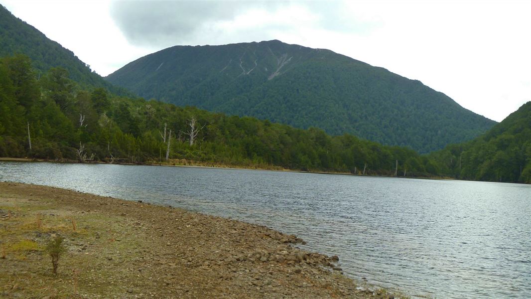
About this place
This track starts and finishes at Aickens car park beside SH73, 5 km west of Ōtira township.
The route
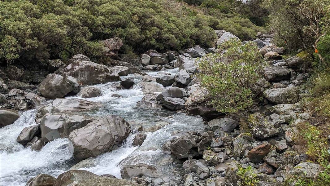
This is a not a trip for bad weather. Do not attempt the route if the Ōtira River is unable to be forded. If the Ōtira River is able to be forded, start from the Aickens car park, cross the stile and follow the fence line to the river. Ford the Ōtira River then aim for the orange triangle immediately opposite. Follow the orange markers and track to Clear Creek. Cross Clear Creek to the 4WD access track and follow this to the sign-posted turn-off at Pfeifer Creek. From here follow the streambed of Pfeifer Creek for about 100 m to the start of the track on the true right. The track passes through red-beech forest to the confluence of Pfeifer Creek and the stream draining the lake. It crosses the stream and continues up the true left to the lake. You can walk the route in 1 day but it is worth taking 2 days and camping next to the lake. There are several good spots along the lake edge and cairns mark where to leave the track to find these campsites. The track to the Otehake River continues to the head of the lake then up a short climb to a saddle between the lake and the river. From there the track drops steeply into the Otehake and another good campsite. The route down the Otehake is mostly on the true right, boulder hopping beside the river, crossing where necessary. This is not possible in rain or if rivers are high. Ford the Otehake again just above where it joins the Taramakau and the walk down the river flats back to Ōtira River.
Source: DOC Te Papa Atawhai.
Nearby stops

Pfeifer Bivvy
Basic/bivvies • 2 bunks • West Coast • 2.6 km
Pfeifer Bivvy is a basic two-bunk hut located in the Hokitika area on the West Coast.
Mattresses • Toilets - non-flush • Water from stream
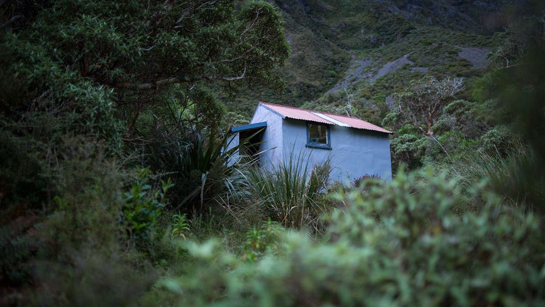
Koropuku Hut
Basic/bivvies • 4 bunks • West Coast • 5.3 km
Koropuku Hut is a basic four-bunk hut located in the Hokitika area of the West Coast.
Mattresses • Toilets - non-flush • Water from stream
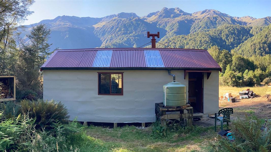
Kiwi Hut – West Coast
Standard • 10 bunks • West Coast • 5.8 km
Kiwi Hut is a standard ten-bunk hut located in the Hokitika area of the West Coast.
Heating • Mattresses • Toilets - non-flush
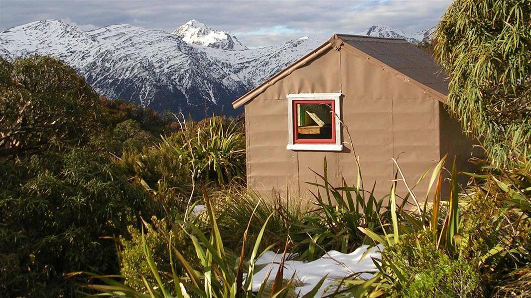
Townsend Hut
Basic/bivvies • 4 bunks • West Coast • 7.9 km
Townsend Hut is a basic four-bunk hut located in Arthur's Pass National Park on the West Coast.
Mattresses • Toilets - non-flush • Water from tap - not treated, boil before use
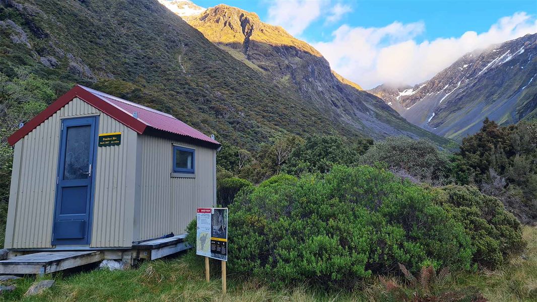
Poulter Bivvy
Basic/bivvies • 2 bunks • Canterbury • 8 km
Poulter Bivvy is a basic two-bunk hut located in the North Canterbury and Arthur's Pass area. It provides simple shelter for hikers in the region.
Mattresses • Toilets - non-flush • Water from stream
Walks nearby
Crooked Route
Expert • 6 hr to Jacko Flat Hut | 8 hr to Top Crooked Hut one way • 7.8 km | 13.2 km • 8.66 km away
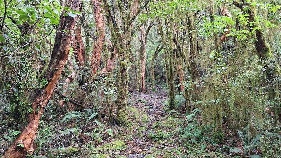
Cockayne Nature Walk
Advanced • 30 min • 850 m • 9.18 km away
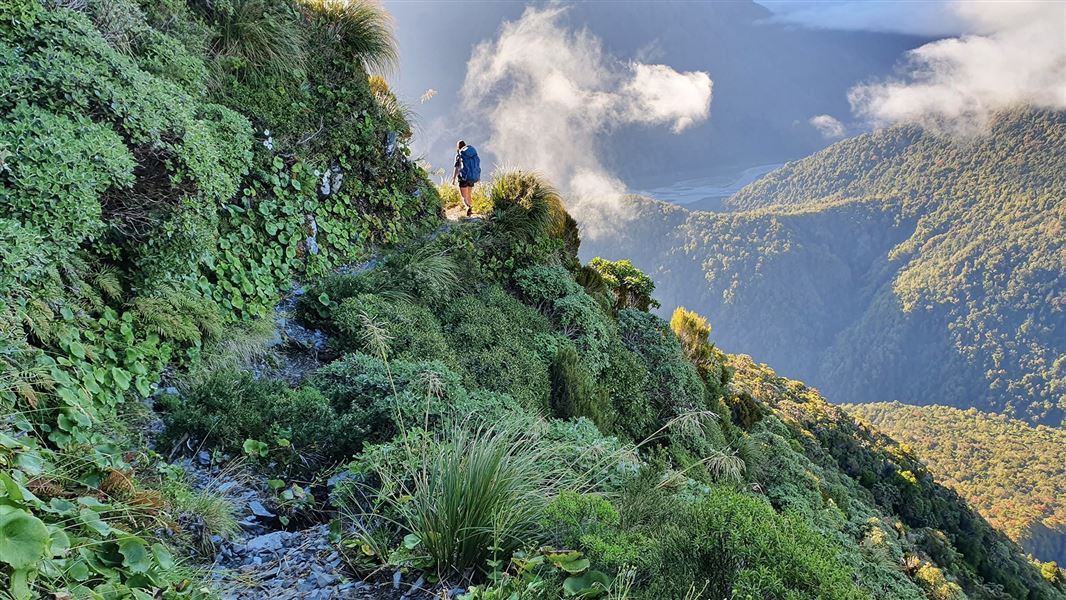
Carroll Hut Track
Advanced • 6 hr • 5 km • 10.01 km away
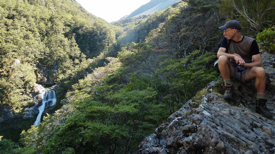
Edwards - Otehake Route
Expert • 2 - 3 days • 12.24 km away
Mingha - Deception Route
Expert • 2 - 3 days • 12.51 km away
Notes from people who have been
No notes yet. If you have been, say what you found.
Something missing or out of date?
Closed, moved, wrong facts, or something we have missed? Travellers keep the Road Guide up to date. Tell us what you found at contribute@parkup.nz and we will check it and add it.
Ask us to take this down
A person reads every request. We do not remove a place until we have checked it.
Sources
- DOC Tracks (API) · CC BY 4.0Crown Copyright: Department of Conservation Te Papa Atawhai. Data sourced from the DOC Developer Portal (api.doc.govt.nz).