Crooked Route
WalkWest Coast
- Grade
- Expert
- Walking time
- 8 hr
- Distance
- 7.8 km, 13.2 km
- Dogs
- No dogs
Access: read before you go
The last section of this road crosses private land and permission needs to be obtained from the land owner, phone +64 210 669 530.
The turn off at the locked gate is signposted, and there is a signpost at the start of the track in the car park (paddock).
Source: DOC Te Papa Atawhai.
Getting there
We have not checked a road end or car park for this place yet, so we do not give driving directions to it. Check how to get there before you go. Some routes cross private land and need the landowner's permission.
How to get there, on doc.govt.nzDrive north from Greymouth to Stillwater on SH7 and turn right into Arnold Valley Road (approximately 13 km). Follow this road to Moana (approximately 40 km).
From Moana drive south (towards Christchurch) for approximately 14 km, turn left on to Bell Hill Road. Turn right after 1.8 km onto the public (unmaintained and rough) Rotomanu-Kopara Road.
The last section of this road crosses private land and permission needs to be obtained from the land owner, phone +64 210 669 530.
The turn off at the locked gate is signposted, and there is a signpost at the start of the track in the car park (paddock).
Source: DOC Te Papa Atawhai.
Map
Map data © OpenStreetMap contributors. Topo map: LINZ, CC BY 4.0. 42.70676° S, 171.66569° E
Got a good photo of this place? Send it to us and we will show it with your name.
About this place
Trampers on this route up the Crooked River valley should have backcountry navigation skills.
The route
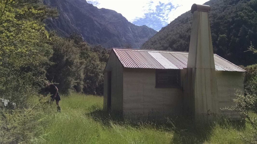
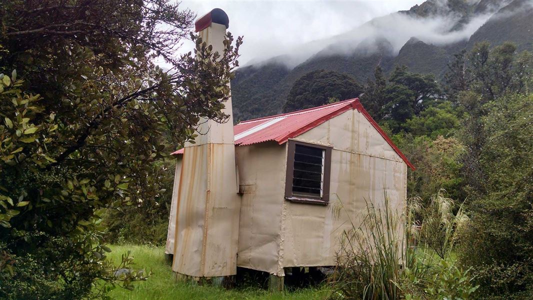
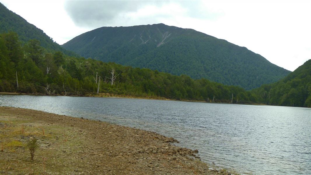
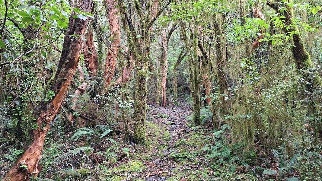
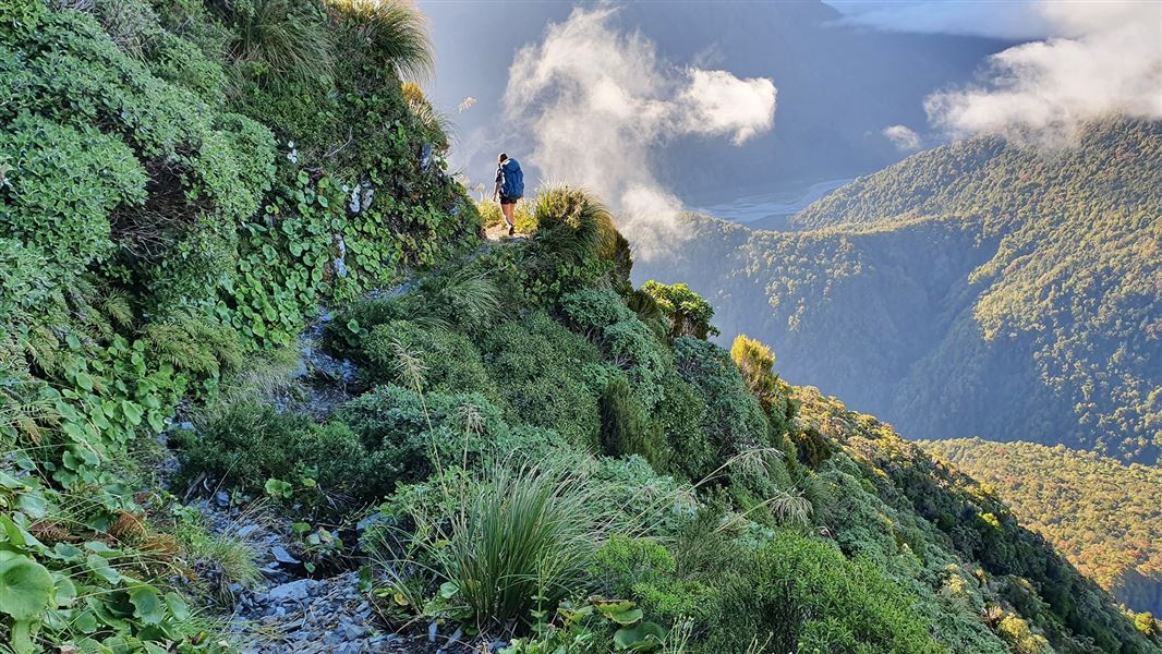
The route to Jacko Flat Hut follows the Crooked River and is very rough and steep in places. It passes spectacular gorges and rapids, intermingled with deep, blue pools of still water. Several slips and windthrown trees have made navigation on this route difficult. Allow additional time to navigate these sections. Make sure everyone has a map, compass and excellent backcountry navigation skills. It is 6 hr (7.8 km) to Jacko Flat hut. Travel is easier from Jacko Flat Hut to Top Crooked Hut. It is a further 2 hr (5.4 km) to Top Crooked Hut. The route up to the Morgan Tops, just downstream and opposite Top Crooked Hut, is very steep. Once onto the tops there are several options for experienced trampers. A popular option is to travel on to Lake Morgan Hut and then exit via Mount O’Shanessy and the Brian O’Lyn Route down to the Haupiri River.
Source: DOC Te Papa Atawhai.
On this track
In walking order.

Nearby stops

Cone Creek Hut
Basic/bivvies • 6 bunks • West Coast • 6.1 km
Cone Creek Hut is a basic six-bunk hut located in the Greymouth area of the West Coast.
Heating • Mattresses • Toilets - non-flush
Kiwi Hut – West Coast
Standard • 10 bunks • West Coast • 8.4 km
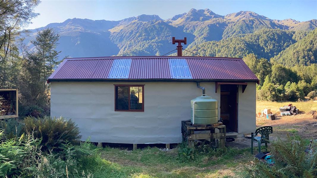
Kiwi Hut is a standard ten-bunk hut located in the Hokitika area of the West Coast.
Heating • Mattresses • Toilets - non-flush
Camp Creek Hut
Basic/bivvies • 6 bunks • West Coast • 8.5 km
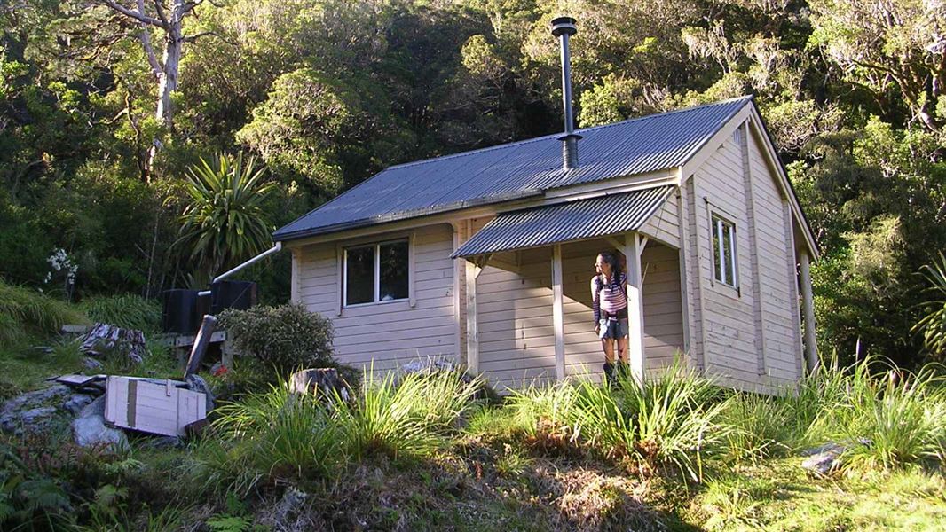
Camp Creek Hut is a basic six bunk hut located on the West Coast.
Heating • Mattresses • Toilets - non-flush
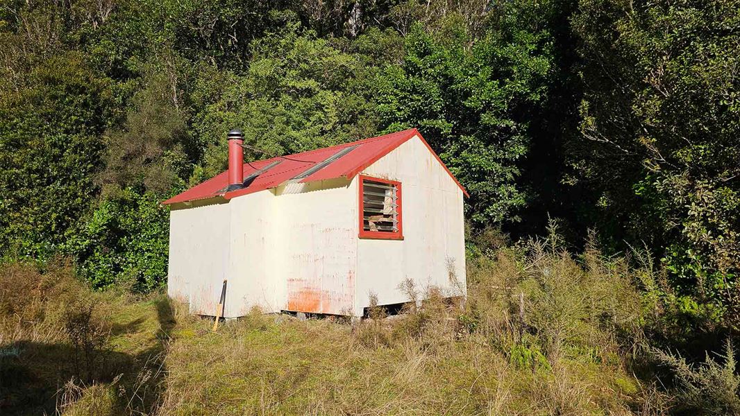
Elizabeth Hut
Standard • 6 bunks • West Coast • 9.9 km
Elizabeth Hut is a standard six-bunk hut located in the Greymouth area on the West Coast.
Heating • Mattresses • Toilets - non-flush

Pfeifer Bivvy
Basic/bivvies • 2 bunks • West Coast • 10.7 km
Pfeifer Bivvy is a basic two-bunk hut located in the Hokitika area on the West Coast.
Mattresses • Toilets - non-flush • Water from stream
Walks nearby
Notes from people who have been
No notes yet. If you have been, say what you found.
Something missing or out of date?
Closed, moved, wrong facts, or something we have missed? Travellers keep the Road Guide up to date. Tell us what you found at contribute@parkup.nz and we will check it and add it.
Ask us to take this down
A person reads every request. We do not remove a place until we have checked it.
Sources
- DOC Tracks (API) · CC BY 4.0Crown Copyright: Department of Conservation Te Papa Atawhai. Data sourced from the DOC Developer Portal (api.doc.govt.nz).