Elizabeth Hut Route
WalkWest Coast
- Grade
- Expert
- Walking time
- 6 hr
- Distance
- 12 km
- Dogs
- No dogs
Getting there
We have not checked a road end or car park for this place yet, so we do not give driving directions to it. Check how to get there before you go. Some routes cross private land and need the landowner's permission.
How to get there, on doc.govt.nzDrive north from Greymouth to Ngahere on SH7 and turn right on to Nelson Creek Road just past Ngahere (approximately 25 km).
Follow this road for approximately 30 km, then turn right on to Heaphy Road, just past Lake Haupiri. The carpark is signposted.
Source: DOC Te Papa Atawhai.
Map
Map data © OpenStreetMap contributors. Topo map: LINZ, CC BY 4.0. 42.70126° S, 171.82370° E
Got a good photo of this place? Send it to us and we will show it with your name.
About this place
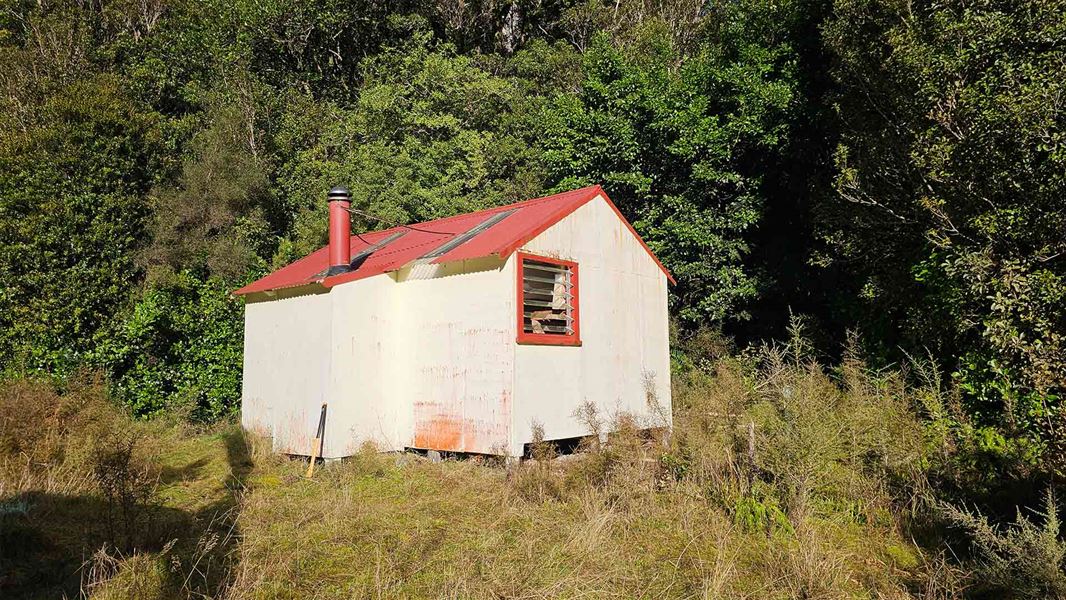
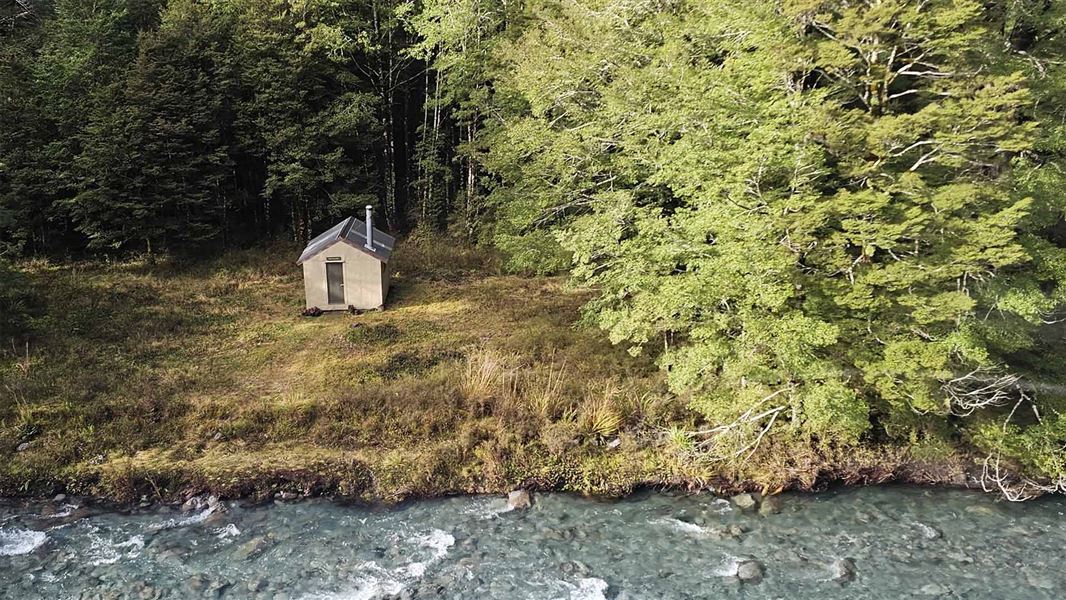
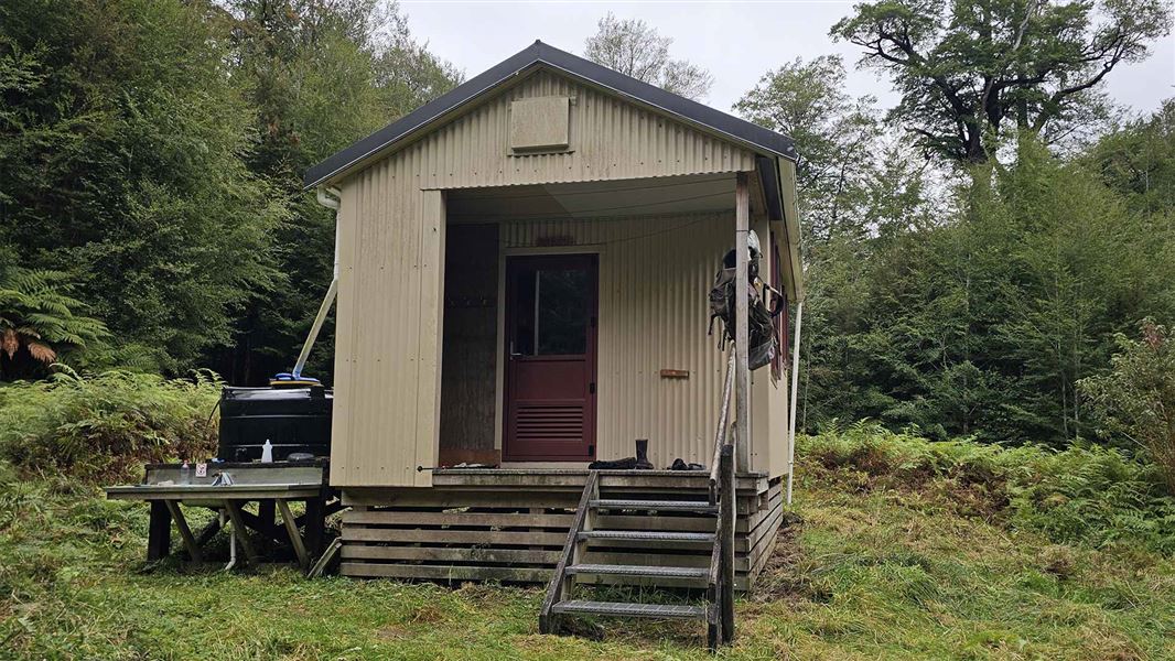
A backcountry route that follows the Haupiri River to Elizabeth Hut, with further travel possible over the Trent Saddle.
The route
The route initially follows a 4WD farm track on the true left of the Haupiri River to a car park. From the car park, the route to Elizabeth Hut is marked. The remains of a natural hot-spring bath are found just upstream of the Haupiri River and Cone Creek junction, 40 m off the marked route.
Trent Saddle and Tutaekuri Route
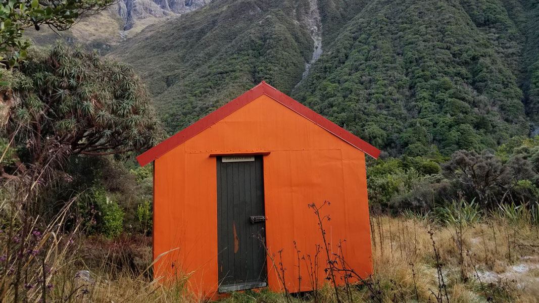
The route consists of open grassy flats and sometimes unmarked braided river travel, marked tracks through West Coast bush, an alpine crossing and negotiating gorges in the upper Trent River. Beyond Elizabeth Hut a marked route continues over the Trent Saddle (3 hr) to Top Trent (Lagoon) Hut (another 2 hr). From Top Trent Hut there is unmarked riverbed travel down the Trent River to the Mid Trent Hut (6 hr). The route out to the Waikiti Downs carpark via the Tutaekuri River is 7 hr, with an optional side trip to stay at Tutaekuri Hut (45 min detour up the Tutaekuri River). It can be completed in either direction.
Source: DOC Te Papa Atawhai.
Know before you go
Stay safe when crossing rivers and streams
If you plan to cross unbridged rivers or side streams, know how to cross safely and be prepared for if you cannot cross. Do not cross if the river or stream is flooded, you cannot find safe entry and exit points or are unsure it’s safe. Turn back or wait for the river to drop. If in doubt, stay out. How to cross rivers safely NIWA river flow forecasts: View a video of national followed by regional river flows
Source: DOC Te Papa Atawhai.
On this track
In walking order.
Nearby stops
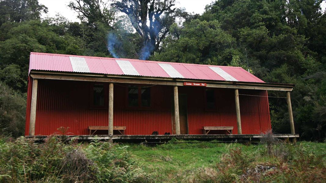
Locke Stream Hut
Standard • 18 bunks • West Coast • 4.3 km
Locke Stream Hut is a standard 18-bunk hut located in the Hokitika area of the West Coast. This historic shelter dates back to the 1930s government fitness…
Heating • Mattresses • Toilets - non-flush
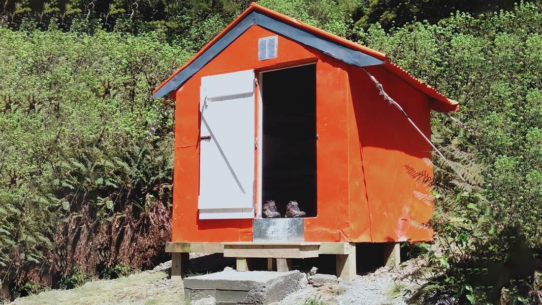
Harper Pass Bivvy
Basic/bivvies • 2 bunks • Canterbury • 6.5 km
Harper Pass Bivvy is a basic two-bunk hut located in the North Canterbury and Arthur's Pass area. It provides simple shelter for hikers in the region.
Mattresses • Toilets - non-flush • Water from stream

Cone Creek Hut
Basic/bivvies • 6 bunks • West Coast • 7.7 km
Cone Creek Hut is a basic six-bunk hut located in the Greymouth area of the West Coast.
Heating • Mattresses • Toilets - non-flush
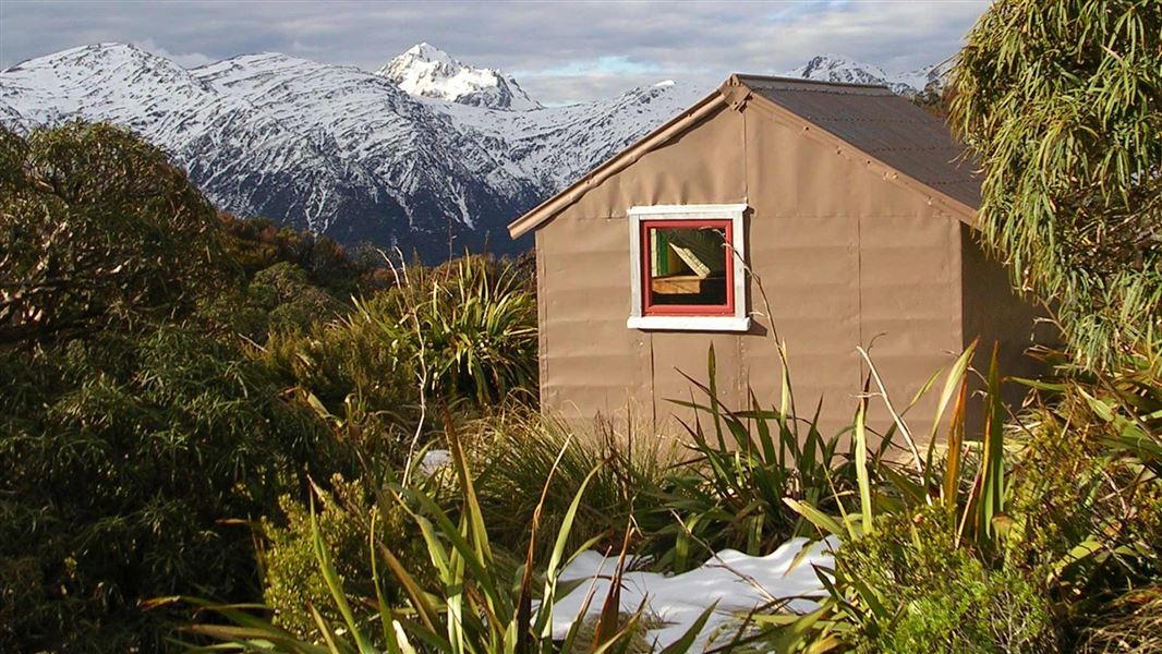
Townsend Hut
Basic/bivvies • 4 bunks • West Coast • 8.9 km
Townsend Hut is a basic four-bunk hut located in Arthur's Pass National Park on the West Coast.
Mattresses • Toilets - non-flush • Water from tap - not treated, boil before use
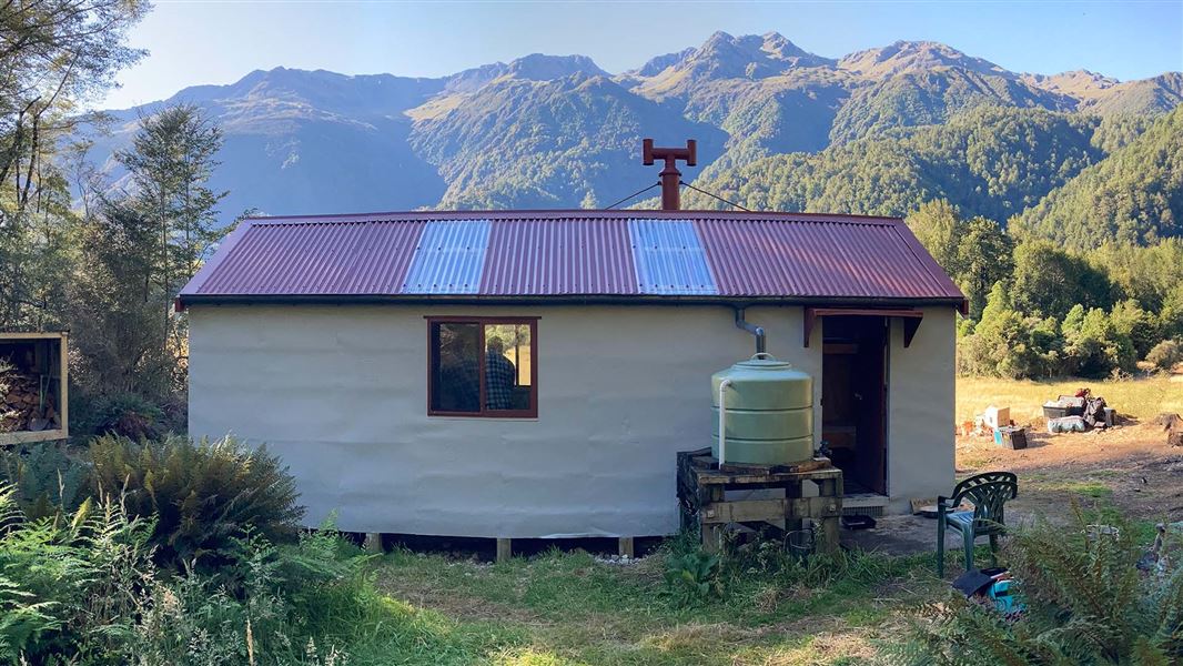
Kiwi Hut – West Coast
Standard • 10 bunks • West Coast • 9 km
Kiwi Hut is a standard ten-bunk hut located in the Hokitika area of the West Coast.
Heating • Mattresses • Toilets - non-flush
Walks nearby
Crooked Route
Expert • 6 hr to Jacko Flat Hut | 8 hr to Top Crooked Hut one way • 7.8 km | 13.2 km • 12.93 km away
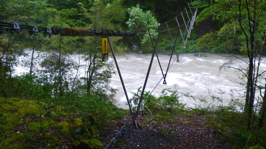
Harper Pass Track
Advanced • 7 hr 30 min • 21 km • 14.24 km away
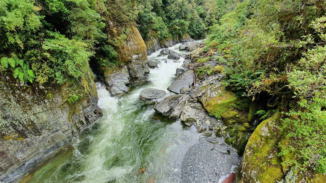
Waikiti Route
Expert • 5–7 hr one way • 8.2 km • 14.49 km away
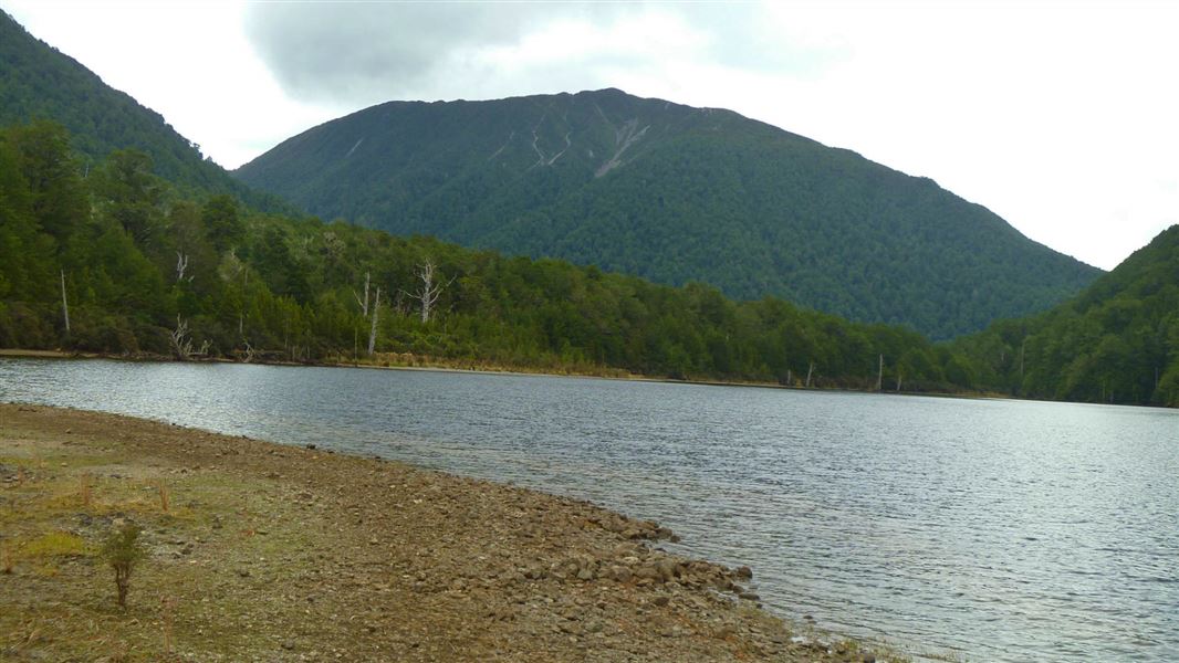
Lake Kaurapataka Route
Expert • 6-7 hr over 1-2 days • 14.77 km away
Notes from people who have been
No notes yet. If you have been, say what you found.
Something missing or out of date?
Closed, moved, wrong facts, or something we have missed? Travellers keep the Road Guide up to date. Tell us what you found at contribute@parkup.nz and we will check it and add it.
Ask us to take this down
A person reads every request. We do not remove a place until we have checked it.
Sources
- DOC Tracks (API) · CC BY 4.0Crown Copyright: Department of Conservation Te Papa Atawhai. Data sourced from the DOC Developer Portal (api.doc.govt.nz).