Mingha - Deception Route
WalkWest Coast
- Grade
- Expert
- Walking time
- 3 days
- Dogs
- No dogs
Getting there
We have not checked a road end or car park for this place yet, so we do not give driving directions to it. Check how to get there before you go. Some routes cross private land and need the landowner's permission.
How to get there, on doc.govt.nzMap
Map data © OpenStreetMap contributors. Topo map: LINZ, CC BY 4.0. 42.88554° S, 171.61667° E
About this place
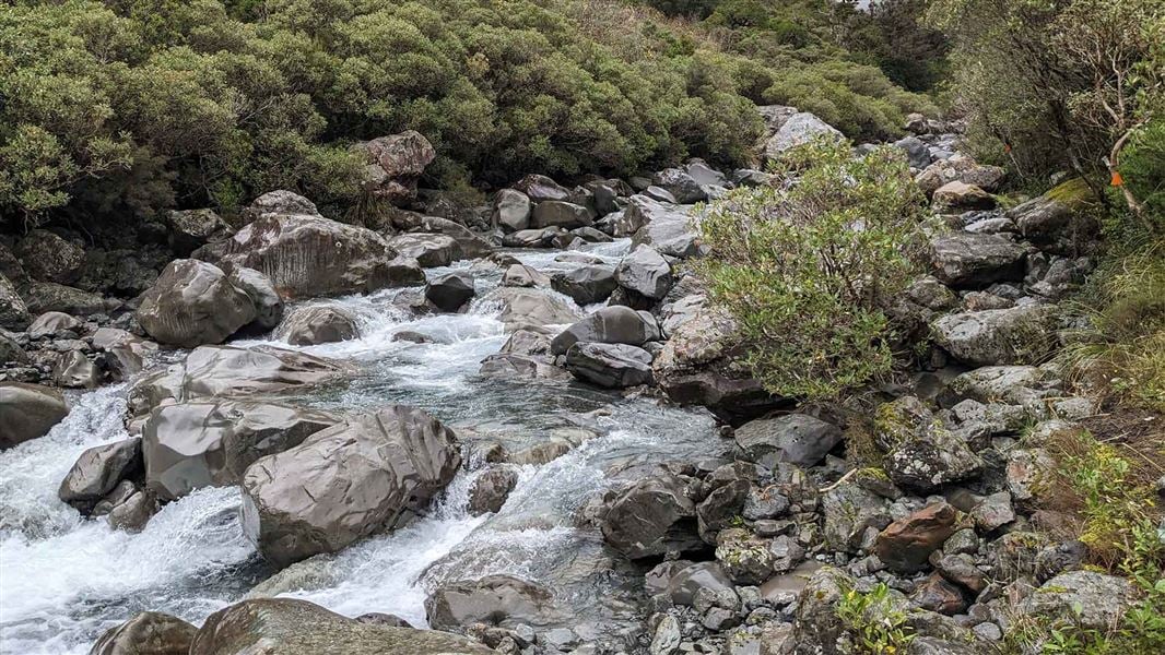
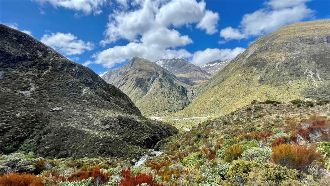
This route is a classic traverse of the Southern Alps, crossing over Goat Pass. This track is part of Te Araroa Trail.
Know before you go
Experience required
Suitable for well-equipped people with previous backcountry tramping experience. River crossing skills essential. The best seasons to tramp are summer, autumn and early winter.
River crossings
Both the Deception and Mingha rivers can be dangerous. Do not attempt this trip when these rivers are high or when bad weather is forecast. Travel along the Deception River requires up to 30 compulsory river crossings. Rivers can flood at any time of year. If rivers and side streams are in flood, seek shelter and wait until water levels fall before crossing. The best route can vary, particularly in the Deception, after storms and heavy rain events. The safest river crossings may not be where the markers are. You must assess your river crossing and if it seems difficult, try looking for a better crossing point.
Required maps
NZTopo50: Otira BV20.
Hazards and safety
Hazards include flooded rivers, avalanches, steep drop-offs and bluffs. There are many challenging river crossings on this track, which become impassable when the rivers are high. Check the weather before you go and carry extra food for river/weather delays. See Tramping in Arthur's Pass National Park (PDF, 762K) and New Zealand's Land Safety Code. Before setting out, check the latest track conditions and avalanche advisory with the Arthur's Pass Visitor Centre.
Stay safe when crossing rivers and streams
If you plan to cross unbridged rivers or side streams, know how to cross safely and be prepared for if you cannot cross. Do not cross if the river or stream is flooded, you cannot find safe entry and exit points or are unsure it’s safe. Turn back or wait for the river to drop. If in doubt, stay out. How to cross rivers safely NIWA river flow forecasts: View a video of national followed by regional river flows
There may be avalanche danger
Avalanches usually occur from May to November in Arthur’s Pass National Park. There can also be avalanches outside this period, if there is still snow coverage. Check the avalanche terrain in this area. If you are going into avalanche terrain, always: Have the relevant avalanche skills and training. Check the ATES rating and New Zealand Avalanche Advisory before you go. Go with a buddy. Both of you should carry and know how to use an avalanche transceiver, a snow shovel and a probe.
Thieves targeting cars at Arthur's Pass
There have been reports of cars being broken into and disabled at track ends. Don't leave valuables in your vehicle. Consider using more public parking sites – ask at the Arthur's Pass Visitor Centre for alternative options. Report any suspicious activity to police on +64 3 363 7400 .
Source: DOC Te Papa Atawhai.
On this track
In walking order.
Nearby stops
Canterbury University Snow Sports Club (CUSSC) Lodge
Canterbury • 4.2 km
The Canterbury University Snow Sports Club Lodge is a hut located in the Canterbury region. It is situated near the Temple Basin Ski Area, which also features…
Jacks Hut
Canterbury • 6 km
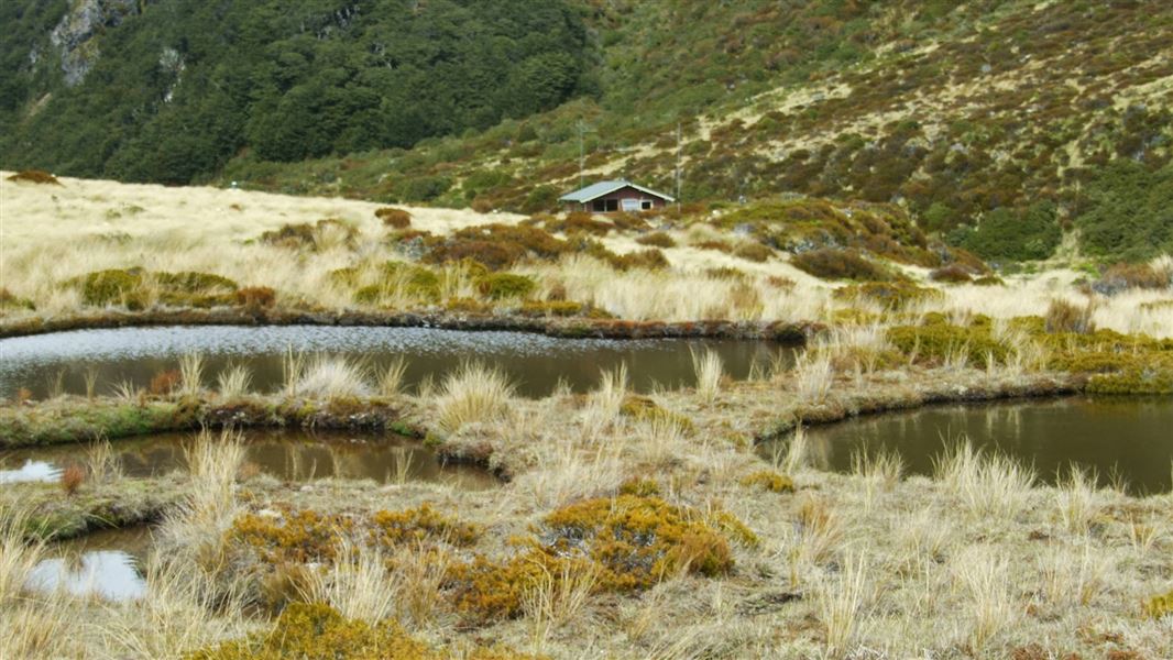
Edwards Hut
Serviced • 16 bunks • Canterbury • 6.8 km
Edwards Hut is a serviced 16-bunk hut located in the North Canterbury and Arthur's Pass area of Canterbury.
Heating • Mattresses • Toilets - non-flush

Avalanche Creek Shelter Campsite
Standard • Canterbury • 7.6 km
Avalanche Creek Shelter Campsite is a standard campsite located just off the main road in the Arthur’s Pass village. It sits almost directly opposite the…
Non-powered/tent sites • Shelter for cooking • Toilets - flush
New Zealand Alpine Club Lodge
Canterbury • 7.7 km
The New Zealand Alpine Club Lodge is a hut located in the Canterbury region. It is a facility managed by the New Zealand Alpine Club.
Walks nearby
Mingha Track
Tramping track • Overnight • 1.96 km away
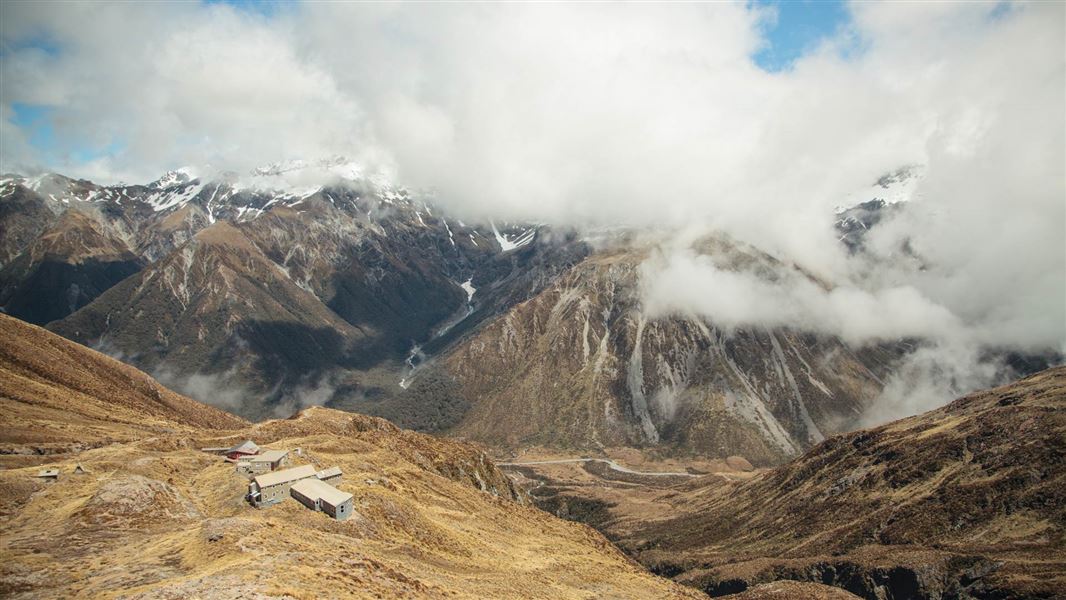
Temple Basin Track
Advanced • 1 hr 30 min one way • 2.1 km • 4.87 km away
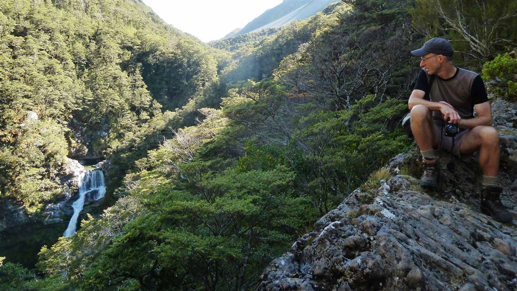
Edwards - Otehake Route
Expert • 2 - 3 days • 4.96 km away
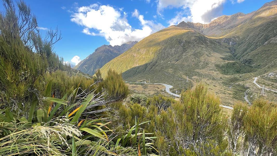
Dobson Nature Walk
Easiest • 30 min • 750 m • 5.48 km away
Otira Valley Track
Advanced • 1 hr one way • 1.7 km • 5.73 km away
Notes from people who have been
No notes yet. If you have been, say what you found.
Something missing or out of date?
Closed, moved, wrong facts, or something we have missed? Travellers keep the Road Guide up to date. Tell us what you found at contribute@parkup.nz and we will check it and add it.
Ask us to take this down
A person reads every request. We do not remove a place until we have checked it.
Sources
- DOC Tracks (API) · CC BY 4.0Crown Copyright: Department of Conservation Te Papa Atawhai. Data sourced from the DOC Developer Portal (api.doc.govt.nz).