Dobson Nature Walk
WalkCanterburyOpen
- Grade
- Easiest
- Walking time
- 30 min
- Distance
- 750 m
- Route
- Return
- Dogs
- No dogs
Getting there
We have not checked a road end or car park for this place yet, so we do not give driving directions to it. Check how to get there before you go. Some routes cross private land and need the landowner's permission.
How to get there, on doc.govt.nzThis track starts near the Arthur's Pass Village, on SH 73 towards the summit.
Several bus services run between Christchurch and the West Coast daily, stopping at the village. The Tranzalpine scenic train journey also stops at Arthur's Pass.
Source: DOC Te Papa Atawhai.
Map
Map data © OpenStreetMap contributors. Topo map: LINZ, CC BY 4.0. 42.90922° S, 171.55771° E
About this place
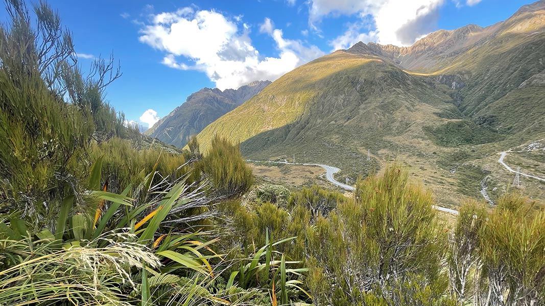
Enjoy interpretation points along this walk and seats with good views of the surrounding mountains.
The route
The track starts at the Temple Basin car park. After approx 200 m, cross the road and follow the track as it leads you in a semi-circle through a rich variety of subalpine and alpine plants, including herbs, tussocks, shrubs and flowers and the Mt Cook buttercup Ranunculus lyallii. The alpine flowers are in bloom from November to February. There are a few interpretation points along the walk and seats along the way with good views of the surrounding mountains. An excellent self-guided booklet about the different native plants and their habitats is available from the Arthur’s Pass Visitor Centre. The track finishes opposite the Dobson Memorial on the other side of the road. Return the same way to the car park.
Source: DOC Te Papa Atawhai.
Nearby stops
Jacks Hut
Canterbury • 1.2 km
Canterbury University Snow Sports Club (CUSSC) Lodge
Canterbury • 1.5 km
The Canterbury University Snow Sports Club Lodge is a hut located in the Canterbury region. It is situated near the Temple Basin Ski Area, which also features…

Avalanche Creek Shelter Campsite
Standard • Canterbury • 3.5 km
Avalanche Creek Shelter Campsite is a standard campsite located just off the main road in the Arthur’s Pass village. It sits almost directly opposite the…
Non-powered/tent sites • Shelter for cooking • Toilets - flush
New Zealand Alpine Club Lodge
Canterbury • 3.6 km
The New Zealand Alpine Club Lodge is a hut located in the Canterbury region. It is a facility managed by the New Zealand Alpine Club.
Christchurch Tramping Club Lodge
Canterbury • 4.1 km
The Christchurch Tramping Club Lodge is a hut located in the Canterbury region. It is also known as Kennedy Lodge.
Walks nearby
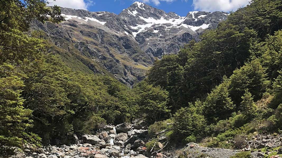
Bealey Valley Track
Easy • 25 min • 1.2 km • 0.76 km away
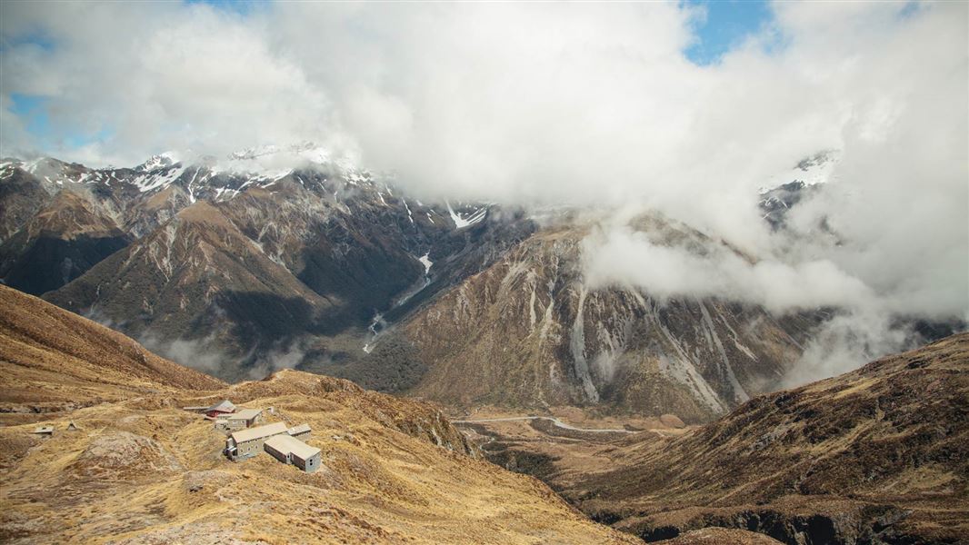
Temple Basin Track
Advanced • 1 hr 30 min one way • 2.1 km • 0.8 km away
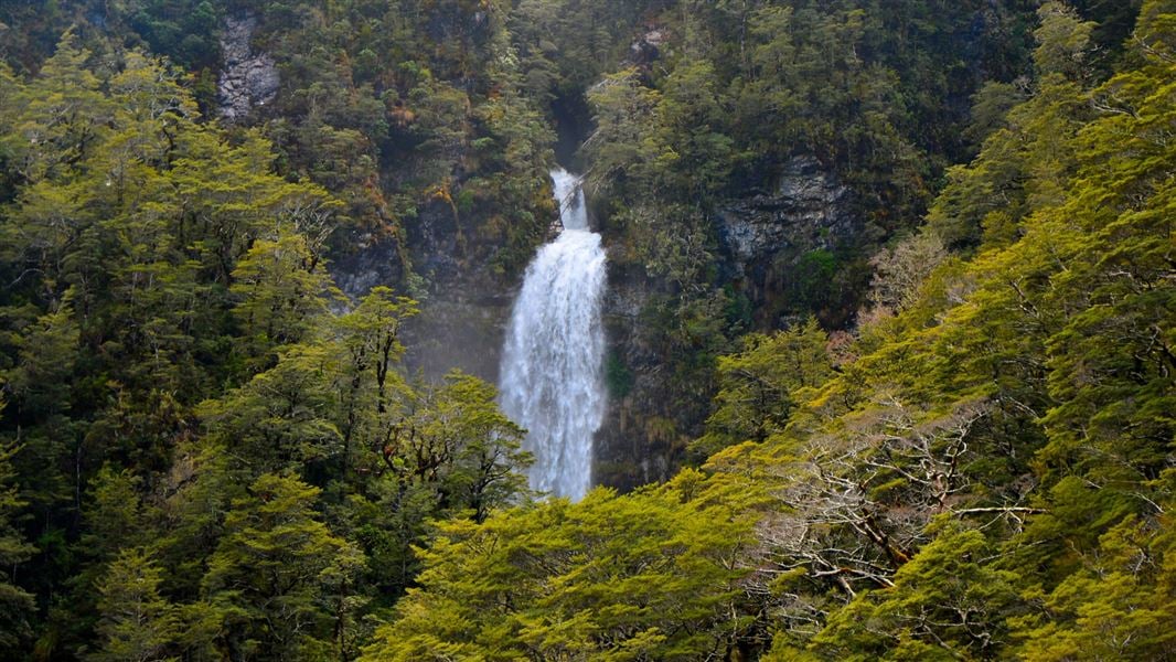
Arthur’s Pass Walking Track
Easy • 2 h 40 min • 6.8 km • 0.85 km away
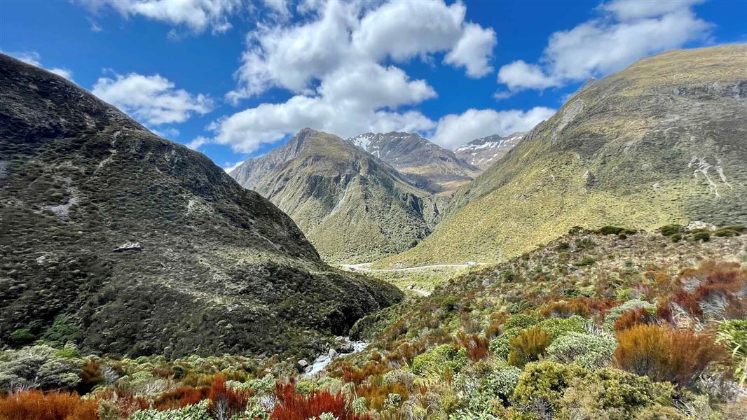
Otira Valley Track
Advanced • 1 hr one way • 1.7 km • 1.41 km away
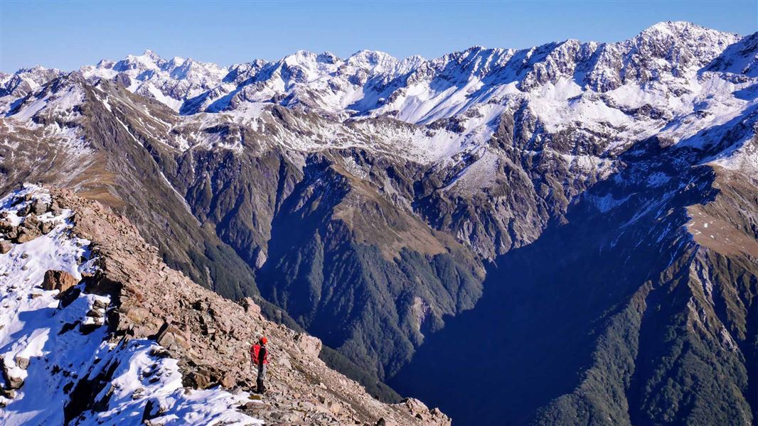
Cons Track
Advanced • 2-4 hr return to the bushline • 2 km (475 m vertical climb) to the bushline • 2.54 km away
Notes from people who have been
No notes yet. If you have been, say what you found.
Something missing or out of date?
Closed, moved, wrong facts, or something we have missed? Travellers keep the Road Guide up to date. Tell us what you found at contribute@parkup.nz and we will check it and add it.
Ask us to take this down
A person reads every request. We do not remove a place until we have checked it.
Sources
- DOC Tracks & Trails · CC BY 4.0Data sourced from the Department of Conservation (DOC), New Zealand.
- DOC Tracks (API) · CC BY 4.0Crown Copyright: Department of Conservation Te Papa Atawhai. Data sourced from the DOC Developer Portal (api.doc.govt.nz).