Cons Track
WalkCanterburyOpen
- Grade
- Advanced
- Walking time
- 4 hr
- Distance
- 2 km (475 m vertical climb) to the bushline
- Route
- Return
- Dogs
- No dogs
Getting there
We have not checked a road end or car park for this place yet, so we do not give driving directions to it. Check how to get there before you go. Some routes cross private land and need the landowner's permission.
How to get there, on doc.govt.nzStart on the Devils Punchbowl Walking Track at the northern end of Arthur's Pass village, just off SH73.
Source: DOC Te Papa Atawhai.
Map
Map data © OpenStreetMap contributors. Topo map: LINZ, CC BY 4.0. 42.93114° S, 171.56626° E
About this place
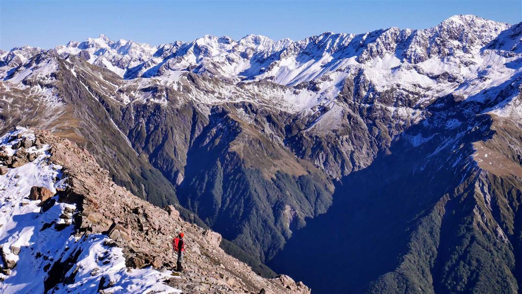
This steep, rugged track leads to the bushline on Mt Cassidy. It is suitable for experienced trampers only.
The route
This steep and difficult track follows a steep crested ridge from the north side of Punchbowl Creek to the bushline. The track gains a lot of height in a short distance and is suited to people with good fitness. It is uneven and you will need to scramble over tree roots. This track ends at the bushline, where the terrain is very steep with bluffs and cliff faces that can be hidden by clouds. Do not try to take alternative routes to the village by walking off-track in the bush or following streams. There are steep cliffs. In winter, there are additional hazards including snow, freezing temperatures and avalanche risk. Avalanche paths are not marked but avalanches can cross the track.
There is no track to the Mount Cassidy summit
There is no track or marked route above the bushline to the top of Mount Cassidy. Do not proceed beyond this point unless you are an experienced and well-equipped tramper. You need a high level of alpine tramping experience to continue to the top, including route-finding, map reading and survival skills. Avalanche Peak is an alternative trip that does have marked routes to the summit. It also requires good weather, fitness, experience and preparation. Above the bushline on Mount Cassidy, the terrain is very steep with fall risks. The summit is a considerable distance from the end of the track. Be ready to turn back if the weather worsens or navigation becomes difficult.
Source: DOC Te Papa Atawhai.
Know before you go
This track is for experienced trampers
It is steep and rugged. Stay on the track by following the orange markers. Share your plans with a trusted contact. Be prepared for delays or an unexpected night out. Carry warm and waterproof clothes, an emergency shelter, spare food, a torch with extra batteries, a distress beacon, and a fully charged mobile phone.
Walking above the bushline
If you plan to go above the bushline, you need to seek advice from Arthur’s Pass Visitor Centre staff before going on your trip. There is no marked track above the bushline. What to take Take a compass and map, and know how to use them. Conditions can change rapidly and you may need these for navigation if visibility deteriorates. Do not proceed above the bushline on to the open tops unless you have sturdy footwear, a waterproof parka and spare warm clothing including warm headwear and gloves. Weather Check the Arthur's Pass National Park weather forecast before you go. Walking above the bushline is recommended only in good weather conditions as you need good visibility to find your way. Above the bushline you are very exposed to the severity of the mountain weather. If it is raining, stormy or there is low cloud around the mountains, there will probably be no views above the bushline. Conditions will be unpleasant at best and dangerous at worst.
Expect snow, ice and avalanche risk in winter
This track can be covered in snow in winter. When snow is present, you will need an ice axe, crampons, an avalanche transceiver, probe and shovel, plus avalanche assessment skills. One or more avalanche paths cross this track. Avalanches are more likely to cross the track during and after heavy snow or rain when there is already a lot of snow on the high mountains. The avalanche paths on this track are not marked. You can find a video series, Avalanche Tips and Terms: From the forecast to the field, on the NZ Avalanche Advisory website
Source: DOC Te Papa Atawhai.
Nearby stops

Avalanche Creek Shelter Campsite
Standard • Canterbury • 1.1 km
Avalanche Creek Shelter Campsite is a standard campsite located just off the main road in the Arthur’s Pass village. It sits almost directly opposite the…
Non-powered/tent sites • Shelter for cooking • Toilets - flush
New Zealand Alpine Club Lodge
Canterbury • 1.2 km
The New Zealand Alpine Club Lodge is a hut located in the Canterbury region. It is a facility managed by the New Zealand Alpine Club.
Jacks Hut
Canterbury • 1.4 km
Christchurch Tramping Club Lodge
Canterbury • 1.7 km
The Christchurch Tramping Club Lodge is a hut located in the Canterbury region. It is also known as Kennedy Lodge.
The West Coast Alpine Club
Canterbury • 1.7 km
The West Coast Alpine Club is a hut located in the Canterbury region. No specific facilities or details are provided in the available records.
Walks nearby
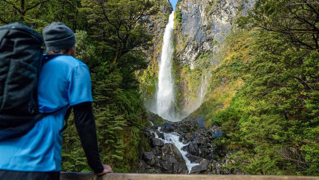
Devils Punchbowl Walking Track
Easy • 1 hr return • 2 km • 0.37 km away
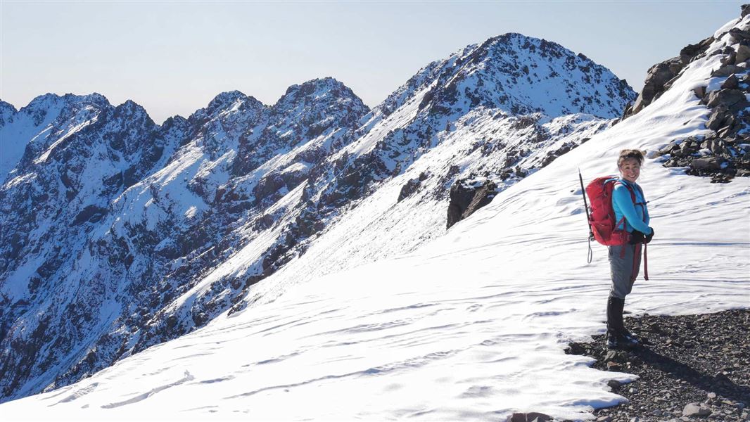
Mount Aicken Track
Advanced • 2-4 hr return to the bushline • 2.8 km (540 vertical climb) to the bushline • 0.46 km away
Millennium Walk
Easiest • 10 min • 350 m • 1.1 km away
Avalanche Peak Route
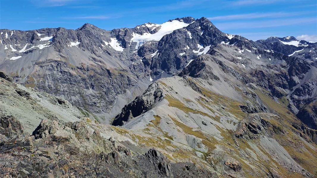
Advanced • Various options, 3-4 hr to summit • 2.5 km, 1,100 m vertical climb • 1.63 km away
Arthur’s Pass Walking Track
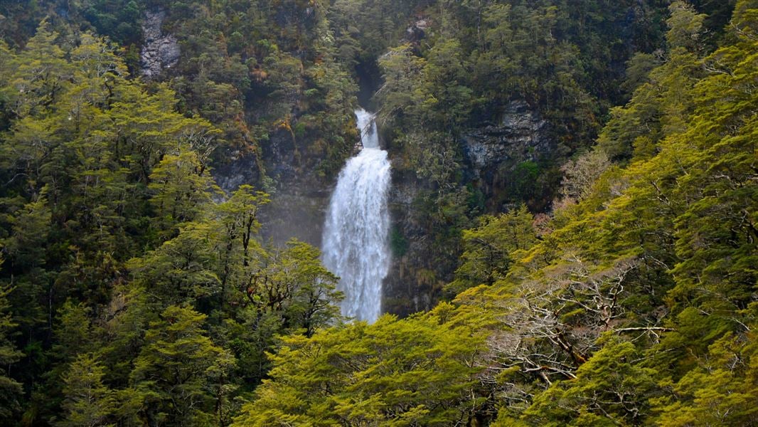
Easy • 2 h 40 min • 6.8 km • 1.73 km away
Notes from people who have been
No notes yet. If you have been, say what you found.
Something missing or out of date?
Closed, moved, wrong facts, or something we have missed? Travellers keep the Road Guide up to date. Tell us what you found at contribute@parkup.nz and we will check it and add it.
Ask us to take this down
A person reads every request. We do not remove a place until we have checked it.
Sources
- DOC Tracks & Trails · CC BY 4.0Data sourced from the Department of Conservation (DOC), New Zealand.
- DOC Tracks (API) · CC BY 4.0Crown Copyright: Department of Conservation Te Papa Atawhai. Data sourced from the DOC Developer Portal (api.doc.govt.nz).