Hurunui No. 3 Hut
Standard hutLake Sumner Forest Park, CanterburyOpen
Current advisories
No fireplace in Hurunui No. 3 Hut
13 September 2026
The fireplace in Hurunui No. 3 Hut can't be used. First published on 10 December 2025. Last reviewed on 14 September 2026.
Source: DOC Te Papa Atawhai alerts.
- Sleeps
- 16 bunks
- Booking
- Can book
- Cost
- from $15
- Heating
- Yes
- Drinking water
- Boil first
- Toilet
- Non-flush
Getting there
We have not checked a road end or car park for this place yet, so we do not give driving directions to it. Check how to get there before you go. Some routes cross private land and need the landowner's permission.
How to get there, on doc.govt.nz- Topo map
- Topo50 sheet BU22
Source: DOC Te Papa Atawhai.
Map and tracks
Track lines: DOC Te Papa Atawhai. Map data © OpenStreetMap contributors. Topo map: LINZ, CC BY 4.0. 42.70081° S, 171.98805° E
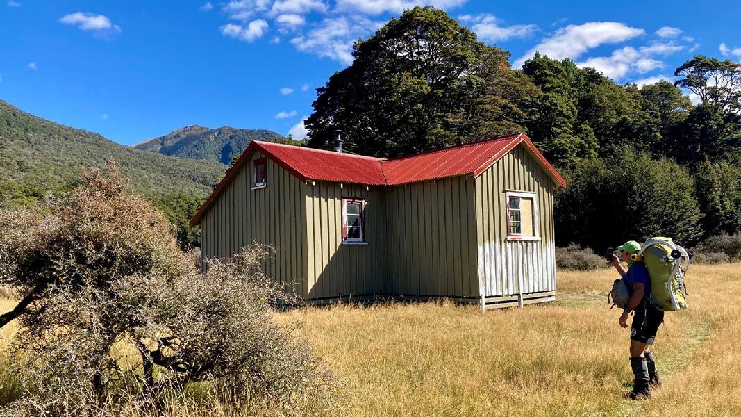
About this place
This is a standard 16-bunk hut in the North Canterbury and Arthur's Pass area. Historically, the hut is an example of early Government involvement in recreation and tourism in the area.
On the way here
Harper Pass Route · 4-5 days
Locke Stream Hut – Hurunui No 3 Hut
Time: 6–7 hours one way
Above Locke Stream Hut the track travels along the true left, at times in the forest and at times along the riverbed. Around 45 mins from the hut, an active slip feeds into the Taramakau River from the true left. It may be necessary to cross the Taramakau River to the true right below the slip and back to the true left afterwards, dependant on river levels. Crossing should not be attempted in heavy rain. It may be possible to negotiate a way past at the base of the slip. During periods of rainfall, especially heavy rainfall it not recommended to walk beneath the slip due to potential active rockfall. The swing bridge is about 1 hour from Locke Stream Hut. Cross the bridge to the true right of the river, where again the track travels through forest and riverbed. Eventually the track leaves the river and begins to climb towards the pass. The track is steep and rough in places. As forest gives way to alpine scrub and tussock, the gradient eases. A sign marking the summit of the pass is reached in 3 hours. The track drops fairly quickly on the eastern side of the pass into the headwaters of Hurunui River. After 30 minutes you will reach the two-person Harper Pass Bivvy, which is attractively sited in a grove of ribbonwood/mānatu above the stream on the true right. Below Harper Pass Bivvy walking becomes a lot easier as the track drops down through beech/tawhai forest. As the valley opens, the track emerges onto river flats, with Camerons Hut standing out from the edge of the forest. (From Harper Pass Bivvy to Camerons Hut is 2 hours.) Camerons Hut is showing its age. Cameron Stream has an emergency walk-wire 100 metres up from the Hurunui riverbed. From here the track returns to the forest and keeps just within the fringes until it emerges again on river flats at Hurunui No 3 Hut (16 bunks).
Hurunui No 3 Hut to Hurunui Hut
Time: 4 hours one way
Below Hurunui No 3 Hut, the track follows easy grassy flats across the valley floor. The track keeps to the true right, at times on the flats or in the forest. The forest sections sidle up and down the hillside to bypass places where the river cuts in against the bank. The highlight of this part of the journey is the hot spring about 2 hours walk from Hurunui No 3 Hut. This spring flows from the rock about 30 metres above the bed of the Hurunui River and sends sulphurous waters down an open scar in the forest. The track crosses the scar below the spring. A small pool has been formed at the spring. Keep an eye out for the turn-off as it is easy to miss. From the hot springs, the track returns to river flats, then sidles up through mānuka forest to Hurunui Hut (15 bunks), sited well up the hillside.
Source: DOC Te Papa Atawhai.
Know before you go
Dogs
No dogs allowed.
Source: DOC Te Papa Atawhai.
Trip options
Walking times come from DOC track descriptions, added up leg by leg from car-accessible trailheads. Nights and return times are ParkUp estimates, allowing about 8 hours of walking a day.
2 options · 1 to 2 nights
Locke Stream Hut
Walking in
7 hr
Walking out
7 hr to Locke Stream Hut
Walking in
7 hr
Walking out
16 hr to Lewis Pass Highway (via Hurunui Hut)
Source: DOC Te Papa Atawhai track descriptions.
Fees and bookings
Before you go, buy Hut Tickets for each night's stay. Put these in the honesty box at the hut. Or buy a Backcountry Hut Pass that gives unlimited use at most Standard and Serviced huts for a 12 month period. Retailers that sell hut tickets and passes Te Araroa – The Trail Pass Te Araroa Trail Pass
Book Hurunui No.3 Hut online
Source: DOC Te Papa Atawhai.
On these tracks
Source: DOC Te Papa Atawhai.
Nearby stops
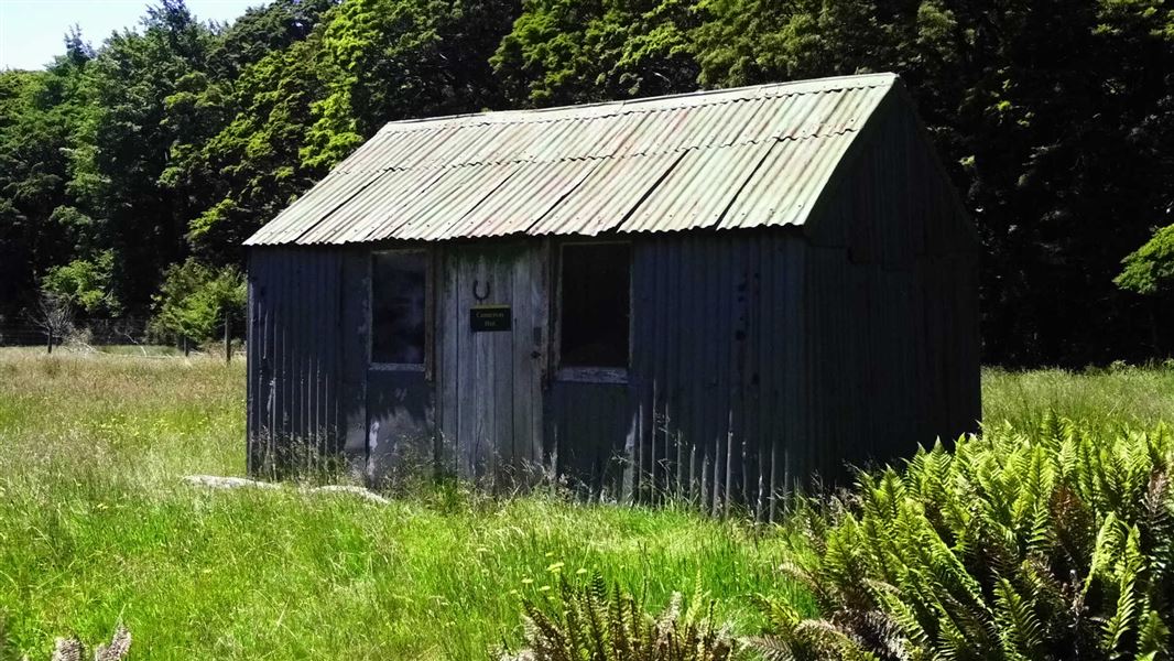
Camerons Hut
Basic/bivvies • 4 bunks • Canterbury • 3.1 km
Camerons Hut is a basic four-bunk hut located in the North Canterbury and Arthur's Pass area.
Heating • Toilets - non-flush • Water from stream
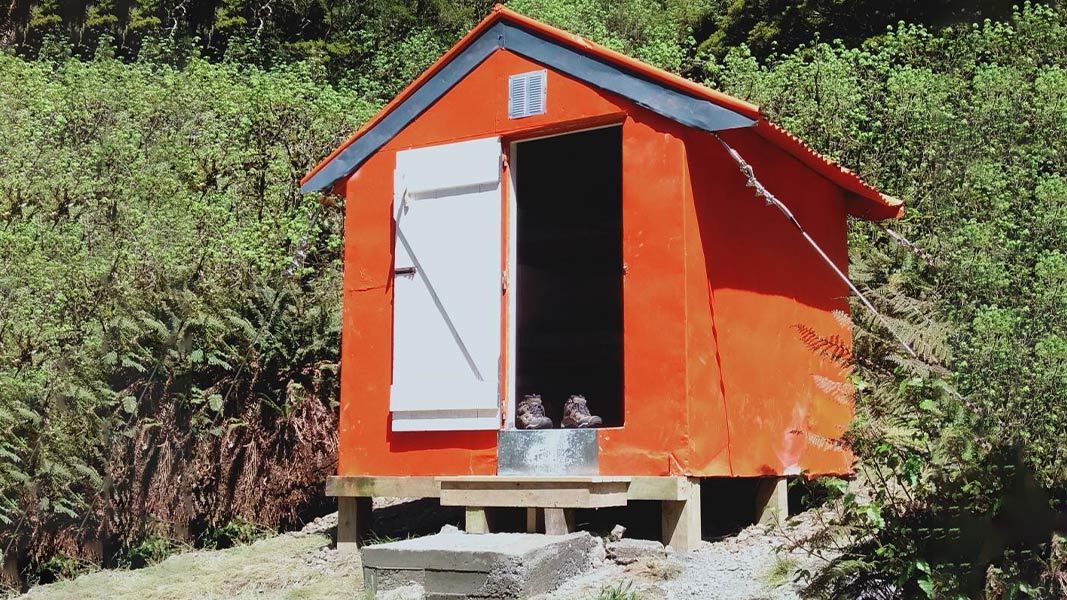
Harper Pass Bivvy
Basic/bivvies • 2 bunks • Canterbury • 7.9 km
Harper Pass Bivvy is a basic two-bunk hut located in the North Canterbury and Arthur's Pass area. It provides simple shelter for hikers in the region.
Mattresses • Toilets - non-flush • Water from stream
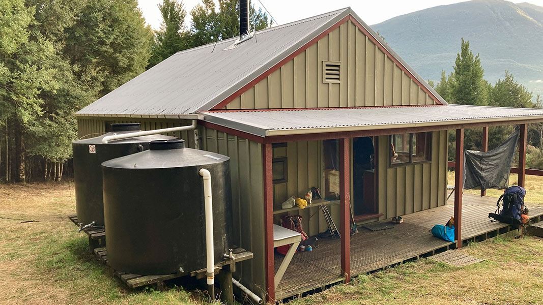
Hurunui Hut
Standard • 15 bunks • Canterbury • 8.9 km
Hurunui Hut is a standard 15-bunk hut located in the North Canterbury and Arthur's Pass area.
Heating • Mattresses • Toilets - non-flush
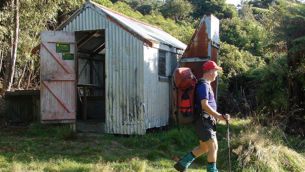
Hurunui Hut
Basic/bivvies • 3 bunks • Bay of Plenty • 637.5 km
Hurunui Hut is a basic three-bunk hut located in the Tauranga area of the Bay of Plenty.
Mattresses • Toilets - non-flush • Water from stream
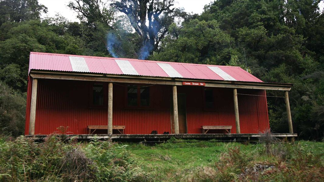
Locke Stream Hut
Standard • 18 bunks • West Coast • 13.6 km
Locke Stream Hut is a standard 18-bunk hut located in the Hokitika area of the West Coast. This historic shelter dates back to the 1930s government fitness…
Heating • Mattresses • Toilets - non-flush
Walks nearby
Contact
Arthur's Pass National Park Visitor Centre
104 West Coast Road, Arthur's Pass 7654
Regional DOC service centre.
Notes from people who have been
No notes yet. If you have been, say what you found.
Something missing or out of date?
Closed, moved, wrong facts, or something we have missed? Travellers keep the Road Guide up to date. Tell us what you found at contribute@parkup.nz and we will check it and add it.
Ask us to take this down
A person reads every request. We do not remove a place until we have checked it.
Sources
- OpenStreetMap Huts · ODbL (Open Database License)Contains information from OpenStreetMap, made available under the ODbL.
- DOC Huts · CC BY 4.0Data sourced from the Department of Conservation (DOC), New Zealand.
- DOC Huts (API) · CC BY 4.0Crown Copyright: Department of Conservation Te Papa Atawhai. Data sourced from the DOC Developer Portal (api.doc.govt.nz).