Mackenzie Stream Route
WalkCanterburyOpen
- Grade
- Expert
- Walking time
- 5 hr
- Distance
- 8 km
- Dogs
- No dogs
Access: read before you go
To reach the park via Lake Sumner Road: take State Highway 7 at Waikari to Hawarden, then follow Lake Sumner Road to Lake Taylor. The road beyond Lake Taylor is suitable for 4WD vehicles only to Loch Katrine (camping area).
The 4WD track from Loch Katrine to the Hurunui swingbridge at the boundary of Lake Sumner Forest Park crosses Lakes Station land. There is a locked gate on road by Loch Katrine. There is no restriction for foot or mountain-bike access through this gate, but vehicle access must be gained from Lakes Station. DOC is unable to provide contact details.
Source: DOC Te Papa Atawhai.
Getting there
We have not checked a road end or car park for this place yet, so we do not give driving directions to it. Check how to get there before you go. Some routes cross private land and need the landowner's permission.
How to get there, on doc.govt.nzLake Sumner Forest Park lies 100 km northwest of Christchurch between Lewis Pass and Arthur’s Pass National Park.
To reach the park via Lake Sumner Road: take State Highway 7 at Waikari to Hawarden, then follow Lake Sumner Road to Lake Taylor. The road beyond Lake Taylor is suitable for 4WD vehicles only to Loch Katrine (camping area).
The 4WD track from Loch Katrine to the Hurunui swingbridge at the boundary of Lake Sumner Forest Park crosses Lakes Station land. There is a locked gate on road by Loch Katrine. There is no restriction for foot or mountain-bike access through this gate, but vehicle access must be gained from Lakes Station. DOC is unable to provide contact details.
It is around 9 km (2–3 hours walk) from Loch Katrine to the Hurunui swingbridge.
Source: DOC Te Papa Atawhai.
Map and tracks
Track lines: DOC Te Papa Atawhai. Map data © OpenStreetMap contributors. Topo map: LINZ, CC BY 4.0. 42.66693° S, 172.04620° E
About this place
This route runs from Hurunui Hut to Mackenzie Hut.
The route
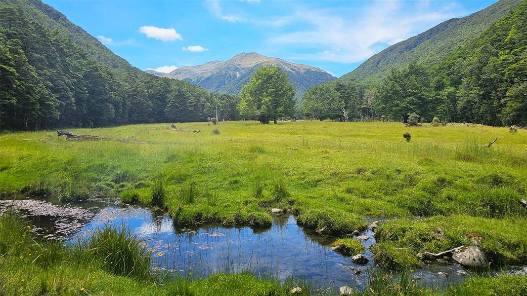
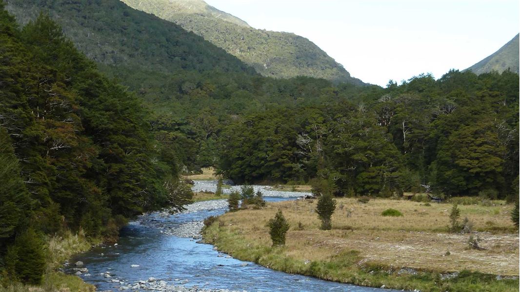
Mackenzie Stream Route leaves the Harper Pass Track about 1 hour from Hurunui Hut . The turn-off is signposted approximately opposite the junction with Mackenzie Stream and Hurunui River. You will need to make your own crossing over the Hurunui River so this may not be possible when the river is high. Cross the river flats to Mackenzie Stream and follow it up on the true right. This section is not marked until you enter the forest. Along the route there is a hot spring where a pool big enough for two has been constructed.
Source: DOC Te Papa Atawhai.
On this track
In walking order.
Nearby stops
Mackenzie Bivvy (East branch)
Basic/bivvies • 2 bunks • Canterbury • 2.7 km
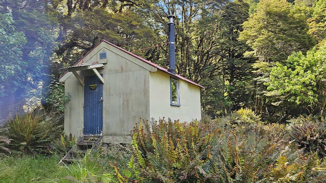
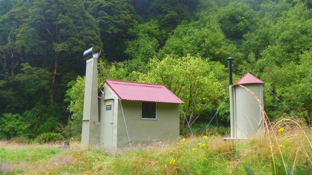
Mackenzie Bivvy (East branch) is a basic two-bunk hut located in the North Canterbury and Arthur's Pass area.
Heating • Toilets - non-flush • Water from stream
Hurunui Hut
Standard • 15 bunks • Canterbury • 5.8 km
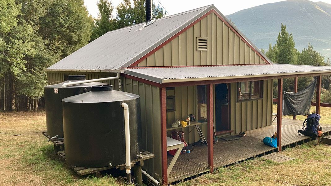
Hurunui Hut is a standard 15-bunk hut located in the North Canterbury and Arthur's Pass area.
Heating • Mattresses • Toilets - non-flush
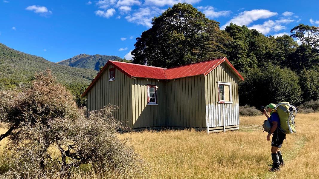
Hurunui No. 3 Hut
Standard • 16 bunks • Canterbury • 6.1 km
Hurunui No. 3 Hut is a standard 16-bunk hut located in the North Canterbury and Arthur's Pass area. It is a historic site that reflects early Government…
Heating • Mattresses • Toilets - non-flush
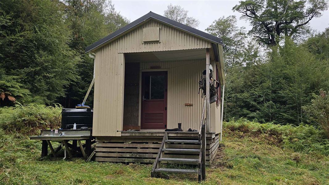
Tutaekuri Hut
Standard • 6 bunks • West Coast • 8.4 km
Tutaekuri Hut is a standard six-bunk hut located in the Greymouth area of the West Coast.
Heating • Mattresses • Toilets - non-flush

Three Mile Stream Hut
Standard • 7 bunks • Canterbury • 8.7 km
Three Mile Stream Hut is a standard seven-bunk hut located in the North Canterbury and Arthur's Pass area.
Heating • Mattresses • Toilets - non-flush
Walks nearby
Notes from people who have been
No notes yet. If you have been, say what you found.
Something missing or out of date?
Closed, moved, wrong facts, or something we have missed? Travellers keep the Road Guide up to date. Tell us what you found at contribute@parkup.nz and we will check it and add it.
Ask us to take this down
A person reads every request. We do not remove a place until we have checked it.
Sources
- DOC Tracks & Trails · CC BY 4.0Data sourced from the Department of Conservation (DOC), New Zealand.
- DOC Tracks (API) · CC BY 4.0Crown Copyright: Department of Conservation Te Papa Atawhai. Data sourced from the DOC Developer Portal (api.doc.govt.nz).