Hope Pass Track
WalkCanterburyOpen
- Grade
- Expert
- Walking time
- 7 hr
- Distance
- 16 km
- Dogs
- No dogs
Getting there
We have not checked a road end or car park for this place yet, so we do not give driving directions to it. Check how to get there before you go. Some routes cross private land and need the landowner's permission.
How to get there, on doc.govt.nzLake Sumner Forest Park lies 100 km northwest of Christchurch between the Lewis Pass and Arthur’s Pass National Park.
Access to Hope valley is from Windy Point, off SH 7. Around 35 km after the turn-off to Hanmer Springs and 10 km before Boyle village. Windy Point has an off-road carpark and the Hurunui swing bridge over the Boyle River.
Source: DOC Te Papa Atawhai.
Map
Map data © OpenStreetMap contributors. Topo map: LINZ, CC BY 4.0. 42.59122° S, 172.17272° E
About this place
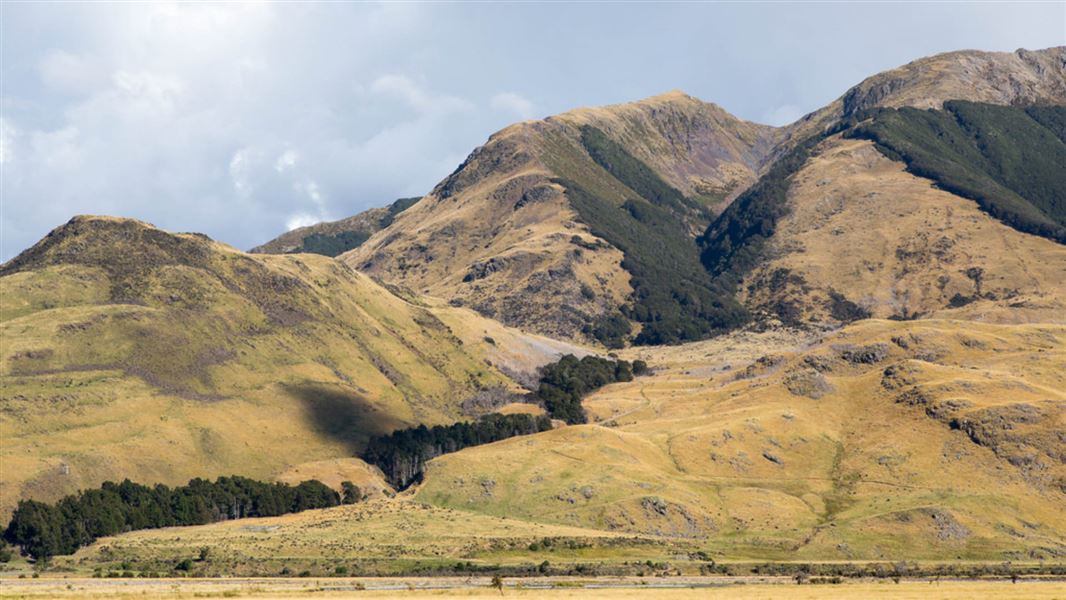
This route runs from Hope Kiwi Lodge to Hope Pass.
The route
Follow Hope Kiwi Track to get to Hope Kiwi Lodge, the starting point for the Hope Pass Track.
Hope Kiwi Lodge to St Jacobs Hut
Time: 1 hr 30 min
From Hope Kiwi Lodge, follow the track back to the Hope swingbridge (approximately 45 minutes). From here a signposted track follows the Hope River upstream along an old 4WD track for approximately 45 minutes to reach the hut.
St Jacobs Hut to Top Hope Hut
Time: 2 hr
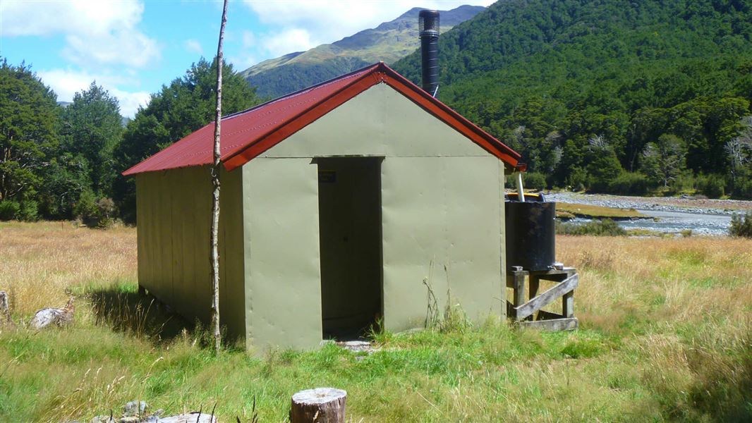
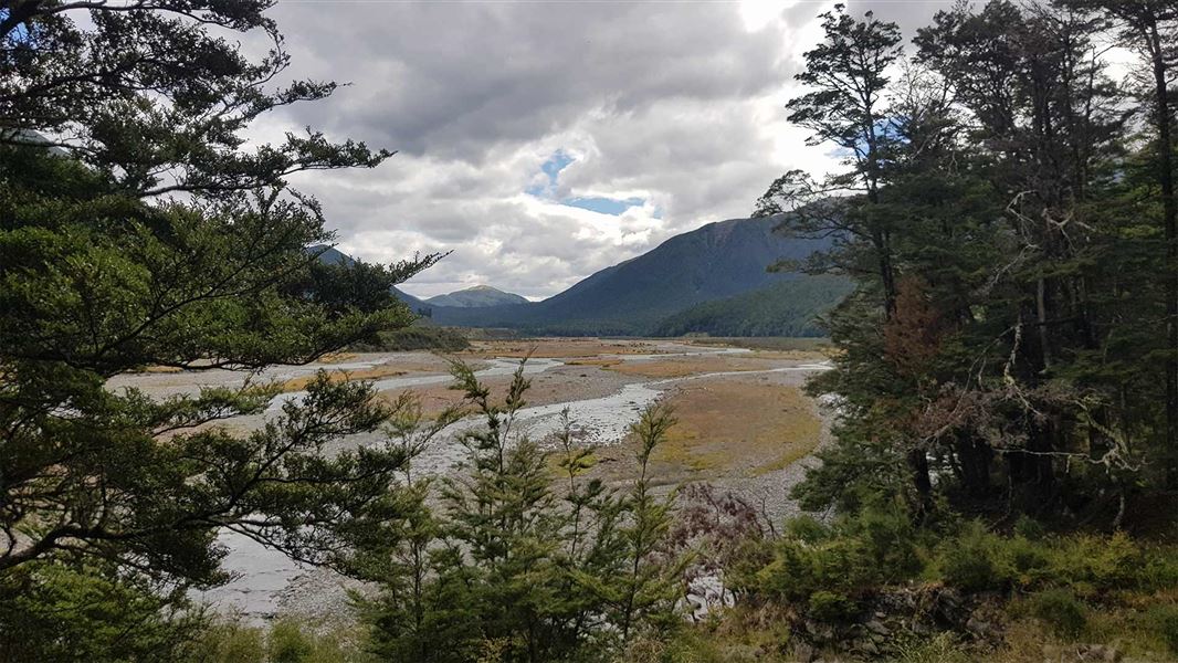
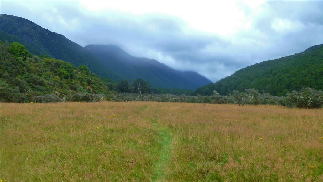
Continue up the valley along the 4WD track across open river flats until the track climbs into bush to avoid crossing the river. Stay on the true right to reach Top Hope Hut (basic 6-bunk hut; no charge). There is a hot spring about 1 hour 30 minutes further upstream from Top Hope Hut. Walk up the Hope River for about an hour to the junction with Hot Spring Stream, then another 30 minutes up the stream to the hot spring itself.
Top Hope Hut to Hope Pass
Time: 3 hr 30 min
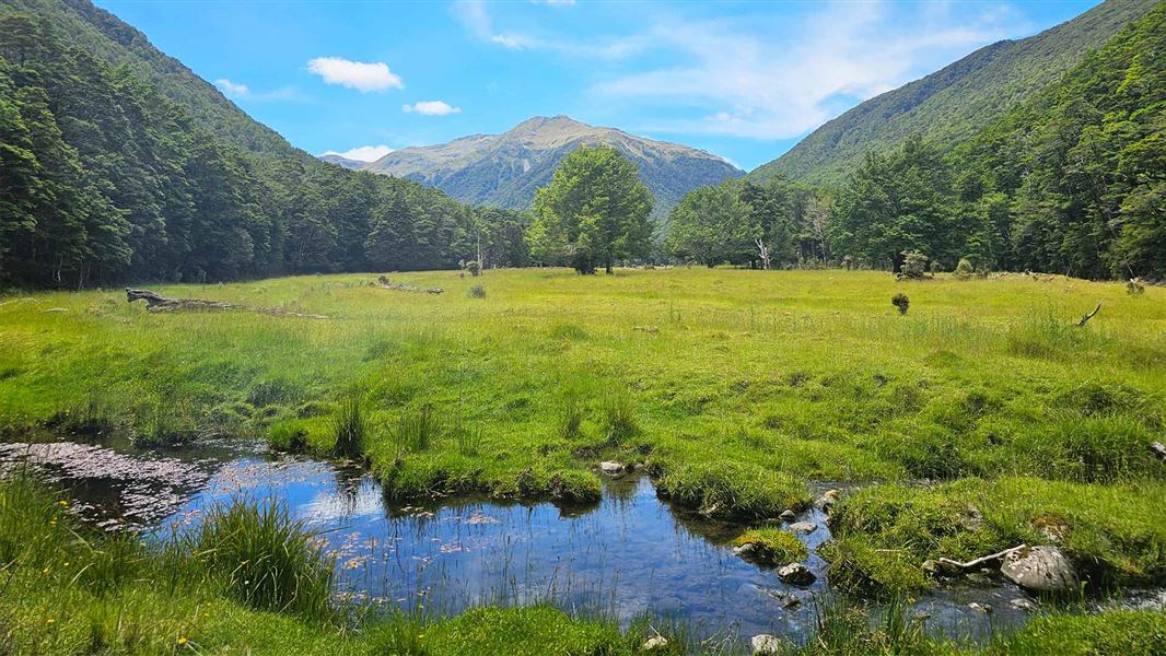
Follow an old 4WD track from the hut up the Hope River to the junction with Hot Spring Stream. From here follow the poled route upstream, crossing river flats, sections of beech forest and swampy clearings to reach Hope Pass.
Source: DOC Te Papa Atawhai.
On this track
In walking order.

Nearby stops
Lake Man Bivvy
Basic/bivvies • 2 bunks • Canterbury • 6.3 km
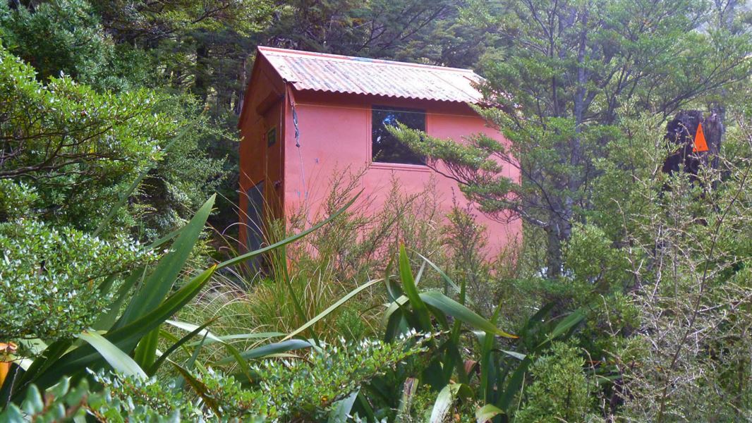
Lake Man Bivvy is a basic two-bunk hut located in the North Canterbury and Arthur's Pass area.
Toilets - non-flush • Water from stream • Water supply

Hope Kiwi Lodge
Serviced • 20 bunks • Canterbury • 7.7 km
Hope Kiwi Lodge is a serviced 20-bunk accommodation facility located in the North Canterbury and Arthur's Pass area. It provides basic lodging for travelers in…
Heating • Mattresses • Toilets - non-flush

Three Mile Stream Hut
Standard • 7 bunks • Canterbury • 7.8 km
Three Mile Stream Hut is a standard seven-bunk hut located in the North Canterbury and Arthur's Pass area.
Heating • Mattresses • Toilets - non-flush
Museum Hut
Canterbury • 8.1 km
Doubtless Hut
Standard • 6 bunks • Canterbury • 8.9 km
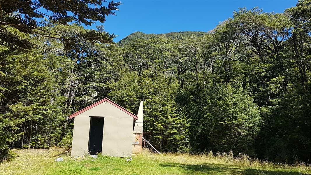
Doubtless Hut is a standard six-bunk hut located in the North Canterbury and Arthur's Pass area.
Heating • Mattresses • Toilets - non-flush
Walks nearby
Notes from people who have been
No notes yet. If you have been, say what you found.
Something missing or out of date?
Closed, moved, wrong facts, or something we have missed? Travellers keep the Road Guide up to date. Tell us what you found at contribute@parkup.nz and we will check it and add it.
Ask us to take this down
A person reads every request. We do not remove a place until we have checked it.
Sources
- DOC Tracks & Trails · CC BY 4.0Data sourced from the Department of Conservation (DOC), New Zealand.
- DOC Tracks (API) · CC BY 4.0Crown Copyright: Department of Conservation Te Papa Atawhai. Data sourced from the DOC Developer Portal (api.doc.govt.nz).