Three Mile Stream Track and Route
WalkCanterbury
- Grade
- Expert
- Dogs
- No dogs
Access: read before you go
To reach the park via Lake Sumner Road: take SH7 at Waikari to Hawarden, then follow Lake Sumner Road to Lake Taylor. The road beyond Lake Taylor is suitable for 4WD vehicles only to Loch Katrine (camping area).
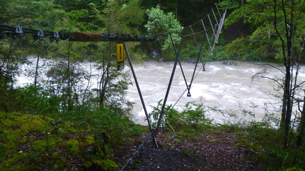
The 4WD track from Loch Katrine to the Hurunui swing bridge at the boundary of Lake Sumner Forest Park crosses Lakes Station land. There is a locked gate on road by Loch Katrine. There is no restriction for foot or mountain-bike access through this gate, but vehicle access must be gained from Lakes Station. DOC is unable to provide contact details.
Source: DOC Te Papa Atawhai.
Getting there
We have not checked a road end or car park for this place yet, so we do not give driving directions to it. Check how to get there before you go. Some routes cross private land and need the landowner's permission.
How to get there, on doc.govt.nzLake Sumner Forest Park lies 100 km northwest of Christchurch between Lewis Pass and Arthur’s Pass National Park.
To reach the park via Lake Sumner Road: take SH7 at Waikari to Hawarden, then follow Lake Sumner Road to Lake Taylor. The road beyond Lake Taylor is suitable for 4WD vehicles only to Loch Katrine (camping area).
The 4WD track from Loch Katrine to the Hurunui swing bridge at the boundary of Lake Sumner Forest Park crosses Lakes Station land. There is a locked gate on road by Loch Katrine. There is no restriction for foot or mountain-bike access through this gate, but vehicle access must be gained from Lakes Station. DOC is unable to provide contact details.
It is around 9 km (2–3 hours walk) from Loch Katrine to the Hurunui swing bridge.
Source: DOC Te Papa Atawhai.
Map and tracks
Track lines: DOC Te Papa Atawhai. Map data © OpenStreetMap contributors. Topo map: LINZ, CC BY 4.0. 42.66048° S, 172.16927° E
Got a good photo of this place? Send it to us and we will show it with your name.
About this place
The track runs from Hurunui swing bridge to Hope Kiwi Lodge. The route cuts down to join Hope Kiwi Track.
The route
Hurunui swing bridge to Three Mile Stream Hut
Time: 4 hr 30 min
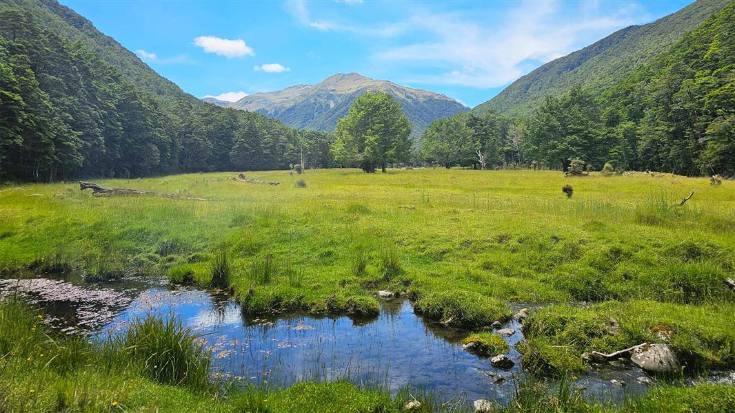
From the swingbridge travel up McMillan Stream on gravel flats and forest terraces, criss-crossing the streambed as needed. The track then leaves the stream to climb to a low saddle and then descends to the top flats of Three Mile Stream. Three Mile Stream Hut is further down the flats.
Three Mile Stream Hut to Hope Kiwi Lodge
Time: 3 hr
The start of the track is well signposted down the flats. It climbs steadily to a low bush saddle and passes swampy clearings to reach Parakeet Stream. The track makes a gradual descent to Hope Kiwi Lodge.
Three Mile Stream Hut to junction with Hope Kiwi Track
Time: 3 hr 30 min
4.9 km This section is a route that cuts down to Hope Kiwi Track . From Three Mile Stream Hut follow the poled route downstream. Then pick up the track through bush (marked with orange triangles) where it climbs above the gorge and then descends to join the Hope Kiwi Track.
Source: DOC Te Papa Atawhai.
Joins these tracks
Source: DOC Te Papa Atawhai.
On this track
In walking order.


Nearby stops
Lake Sumner Hut
Canterbury • 5.6 km
Lake Sumner Hut is a basic shelter located in the Canterbury region of New Zealand. The provided data does not specify any additional facilities or details…
Hurunui Hut
Standard • 15 bunks • Canterbury • 7.7 km
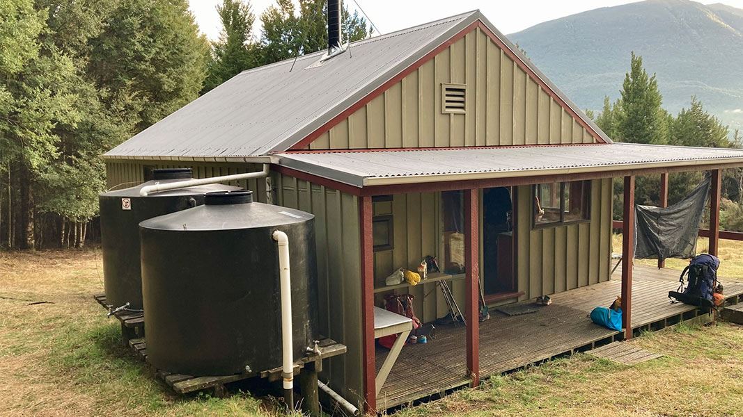
Hurunui Hut is a standard 15-bunk hut located in the North Canterbury and Arthur's Pass area.
Heating • Mattresses • Toilets - non-flush
Loch Katrine Campsite
Basic • Canterbury • 7.7 km
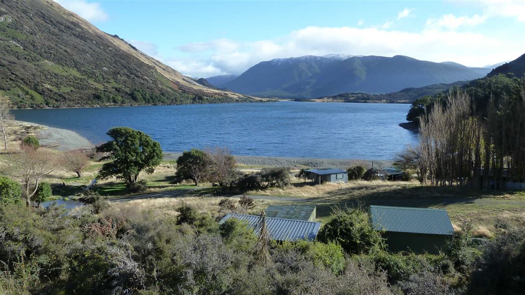
Loch Katrine Campsite is a grassy area beside the lake in Canterbury. It serves as a base for walking, mountain biking, and swimming in the icy waters.
Non-powered/tent sites • Water from tap - not treated, boil before use • Toilets - non-flush
Museum Hut
Canterbury • 7.8 km
Top Hope Hut
Basic/bivvies • 6 bunks • Canterbury • 7.9 km
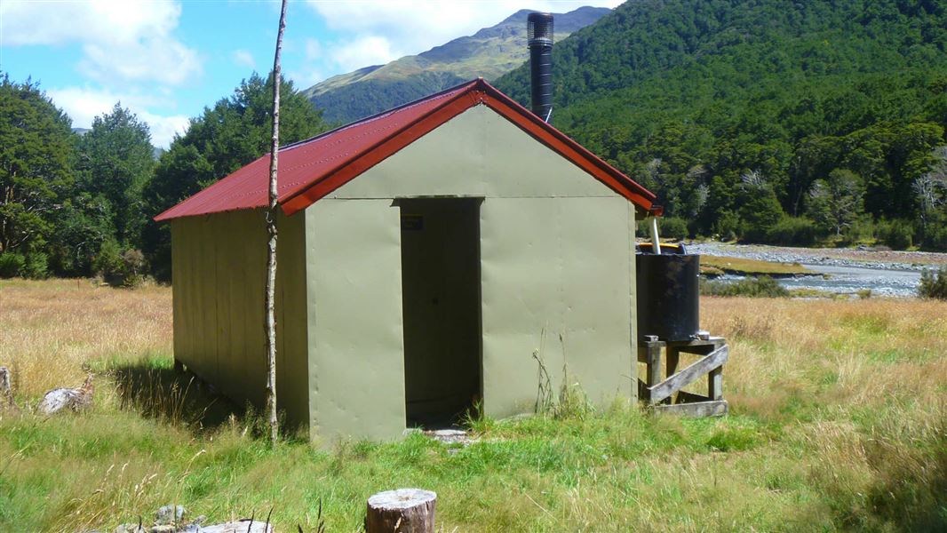
Top Hope Hut is a basic six-bunk hut located in the North Canterbury and Arthur's Pass area.
Heating • Mattresses • Toilets - non-flush
Walks nearby
Notes from people who have been
No notes yet. If you have been, say what you found.
Something missing or out of date?
Closed, moved, wrong facts, or something we have missed? Travellers keep the Road Guide up to date. Tell us what you found at contribute@parkup.nz and we will check it and add it.
Ask us to take this down
A person reads every request. We do not remove a place until we have checked it.
Sources
- DOC Tracks (API) · CC BY 4.0Crown Copyright: Department of Conservation Te Papa Atawhai. Data sourced from the DOC Developer Portal (api.doc.govt.nz).