Jollie Brook Circuit
WalkCanterbury
- Grade
- Expert
- Walking time
- 18 hr 30 min
- Distance
- 24 km
- Dogs
- No dogs
Access: read before you go
Beyond Lake Taylor, the road to Loch Katrine is suitable for 4WD vehicles only.
There are several other 4WD roads in the lakes area which are privately owned by the neighbouring stations: Lakes Station, Lake Taylor Station and Eskhead Station. These private roads are not to be used unless you have permission before your visit.
Source: DOC Te Papa Atawhai.
Getting there
We have not checked a road end or car park for this place yet, so we do not give driving directions to it. Check how to get there before you go. Some routes cross private land and need the landowner's permission.
How to get there, on doc.govt.nzLake Sumner Forest Park lies 100 km northwest of Christchurch between the Lewis Pass and Arthur’s Pass National Park.
From Christchurch, take SH1 north then turn onto SH7 at Waipara. At Waikari, turn left and follow the Hawarden–Waikari Road through Hawarden, to Lake Sumner Road.
If coming from Hanmer Springs, Lake Sumner Road is signposted off SH7 just after the historic Hurunui Hotel.
Lake Sumner Road is suitable for 2WD vehicles as far as Lake Taylor. Lake Sumner Road passes through two privately operated stations on leasehold and freehold land. Keep to the road and do not disturb stock.
Beyond Lake Taylor, the road to Loch Katrine is suitable for 4WD vehicles only.
There are several other 4WD roads in the lakes area which are privately owned by the neighbouring stations: Lakes Station, Lake Taylor Station and Eskhead Station. These private roads are not to be used unless you have permission before your visit.
Private roads
There are several other 4WD roads in the lakes area which are privately owned by the neighbouring stations: Lakes Station, Lake Taylor Station and Eskhead Station. These private roads are not to be used unless you have permission before your visit.
Source: DOC Te Papa Atawhai.
Map and tracks
Track lines: DOC Te Papa Atawhai. Map data © OpenStreetMap contributors. Topo map: LINZ, CC BY 4.0. 42.75009° S, 172.30246° E
About this place
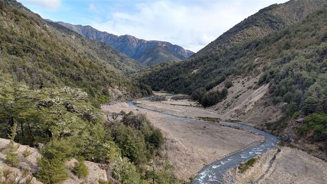
The Jollie Brook Circuit starts and finishes off Lake Sumner Road. There are many river crossings.
The route
The Jollie Brook Circuit starts and finishes off Lake Sumner Road, with the option of starting from either of the two swing bridges over the Hurunui River (approximately 3 km apart on the Lake Sumner Road). All river crossings between Gabriel and Jollie Brook huts are bridged. There are numerous river crossings from Jollie Brook Hut to the swingbridges.
Jollie Brook swing bridge to Sisters swing bridge
Time: 1 hr
On the river flats of the Hurunui River, a signpost marks the track that follows the true left of the Hurunui River to the Sisters car park. The Jollie Brook needs to be crossed – this may not be possible in high river flows.
Sisters swing bridge to Gabriel Hut
Time: 2 hr
From the swing bridge the track is marked with poles up the true left of the valley. Traverse a series of large ancient river terraces close to the hillside until you reach Gabriel Hut.
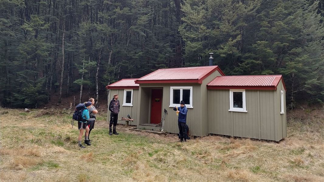
Gabriel Hut to Jollie Brook Hut
Time: 1 hr 30 min
Track leads up Gabriel Stream through beech forest to a low saddle then follows a side-stream to the Jollie Brook. Cross the Jollie Brook to reach the hut.
Jollie Brook Hut to Jollie Brook swing bridge
Time: 4 hr
The track downstream from the hut is well marked but there are a few crossings back and forth across the river. When the valley opens out, traverse across grass and gravel flats until you reach the junction with Cold Stream. After crossing Cold Stream, gravel flats lead to a short gorge. The valley starts to close in, with sections of track appearing intermittently between frequent stream crossings. Eventually the track breaks out onto narrow grassy flats leading to the Hurunui River. Cross the river via the swing bridge just below the Jollie Brook / Hurunui confluence.
Jollie Brook Track - Cold Stream Hut
Time: 1 hr
This route turns off the Jollie Brook Track, about halfway between Jollie Brook Hut and the Jollie Brook swing bridge. Cross Cold Stream and follow it, crossing several times to reach the hut.
Gabriel Hut to Hope Kiwi Lodge
Time: 5 hr
From Gabriel Hut follow the track to Lake Sumner (about 15 minutes), and then along the north shore of Lake Sumner. The track follows the shoreline but passes through bush in places where access along the shore is not possible. Cross Evangeline Stream to reach Marion Stream. Follow the track past Lake Marion – a very picturesque spot – and up a hill to meet the Hope Kiwi Track . From here it is another 1 hour 30 minutes to Hope Kiwi Lodge.
Hope Kiwi Track junction to Hurunui swing bridge
Time: 3 hr
The track descends easily through the forest and emerges onto the Hurunui River flats; pick up the 4WD track back to the swing bridge here.
Source: DOC Te Papa Atawhai.
Joins these tracks
Source: DOC Te Papa Atawhai.
On this track
In walking order.

Nearby stops
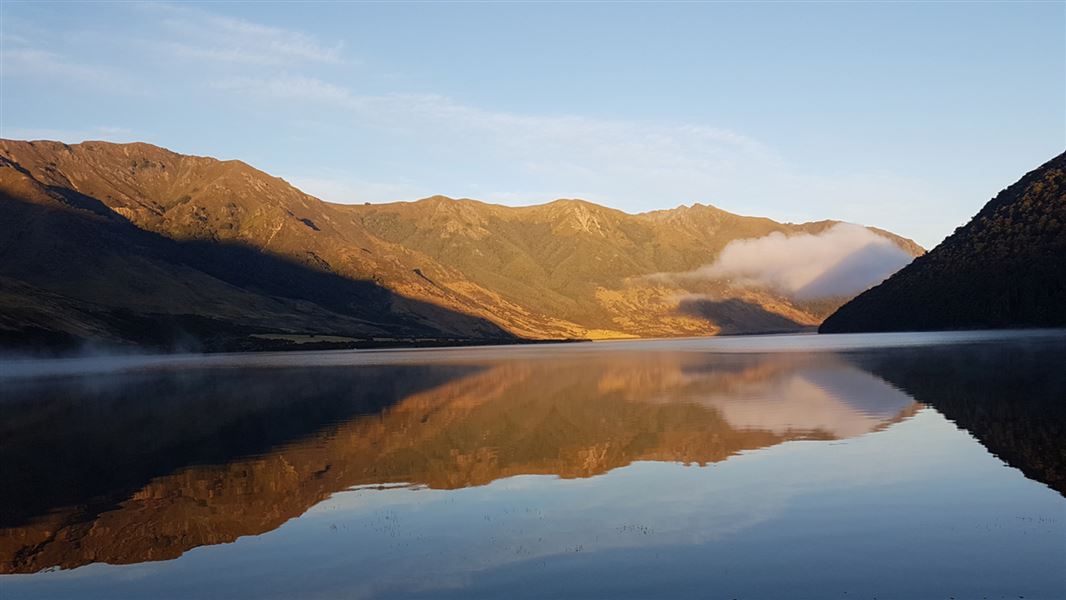
Lake Taylor Campsite
Standard • Canterbury • 4.7 km
Lake Taylor Campsite is located in Canterbury, offering a place to camp beside the lake. The surrounding area is scenic and suitable for exploration on foot or…
Non-powered/tent sites • Shelter for cooking • Water from tap - not treated, boil before use
Jollie Camp Spot
Canterbury • 5.6 km
Evangeline Bivvy
Canterbury • 7.8 km
Heating • Toilets - non-flush • Water from stream
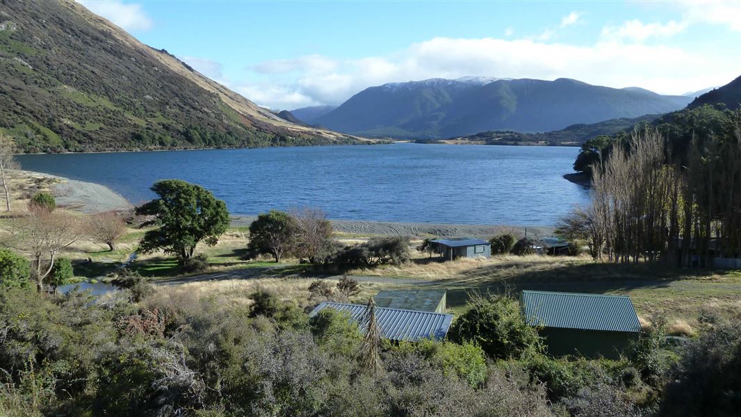
Loch Katrine Campsite
Basic • Canterbury • 8.4 km
Loch Katrine Campsite is a grassy area beside the lake in Canterbury. It serves as a base for walking, mountain biking, and swimming in the icy waters.
Non-powered/tent sites • Water from tap - not treated, boil before use • Toilets - non-flush
Lake Mason Camping
Canterbury • 10.7 km
Lake Mason Camping is a campsite located in the Canterbury region. The provided data does not list specific facilities or details for this site.
Something missing or out of date?
Closed, moved, wrong facts, or something we have missed? Travellers keep the Road Guide up to date. Tell us what you found at contribute@parkup.nz and we will check it and add it.
Ask us to take this down
A person reads every request. We do not remove a place until we have checked it.
Sources
- DOC Tracks (API) · CC BY 4.0Crown Copyright: Department of Conservation Te Papa Atawhai. Data sourced from the DOC Developer Portal (api.doc.govt.nz).