Leith Saddle Track
WalkOtagoOpen
- Grade
- Advanced
- Walking time
- 5 hr
- Route
- Return
- Dogs
- On a lead
Getting there
We have not checked a road end or car park for this place yet, so we do not give driving directions to it. Check how to get there before you go. Some routes cross private land and need the landowner's permission.
How to get there, on doc.govt.nzThe track is accessed from Waitati Valley Road, near the intersection with SH1 at Leith Saddle. The track start is 50 m along the Waitati Valley Road.
Source: DOC Te Papa Atawhai.
Map
Map data © OpenStreetMap contributors. Topo map: LINZ, CC BY 4.0. 45.80111° S, 170.50029° E
About this place
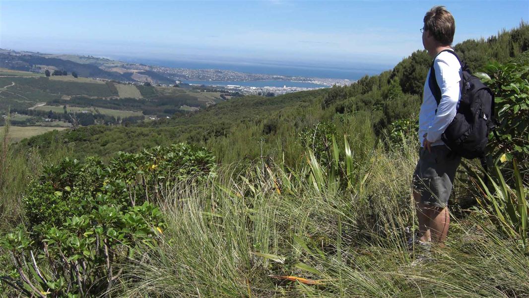
This tramping track travels through the cloud forest above the Leith Saddle on Dunedin's Northern Motorway.
The route
A well surfaced track climbs, steeply at first, through thick, native cloud forest. The gradient eases before coming out onto open tussock on Swampy Spur. From here the track climbs to a trig for panoramic views of the city and beyond. After that the track is rougher - more typical of a tramping track - and it’s another steady climb to the vehicle track that traverses Swampy Summit. Visit the Accessibel website for a description and photos of the gradiant, signage and faciliites of this track. This track links with others in the Silver Peaks and Dunedin area, including the Swampy Ridge Track and even the Flagstaff-Pineapple Walk (managed by the Dunedin City Council).
Source: DOC Te Papa Atawhai.
Nearby stops
Ben Rudds Hut
Otago • 4 km
Leith Valley Touring Park
Otago • 5.5 km
MYHUB Holiday Parks Dunedin
Otago • 7.8 km

Philip J Cox Memorial Hut
Standard • 4 bunks • Otago • 10 km
Philip J Cox Memorial Hut is a standard four-bunk hut located in the Coastal Otago area.
Mattresses • Toilets - non-flush • Water from tap - not treated, boil before use

Jubilee Hut
Standard • 10 bunks • Otago • 10.2 km
Jubilee Hut is a standard ten-bunk hut located in the Coastal Otago area. It features two large beds that can accommodate six people, along with drinking water…
Mattresses • Toilets - non-flush • Water from tap - not treated, boil before use
Walks nearby
Silverpeaks Circuit Track
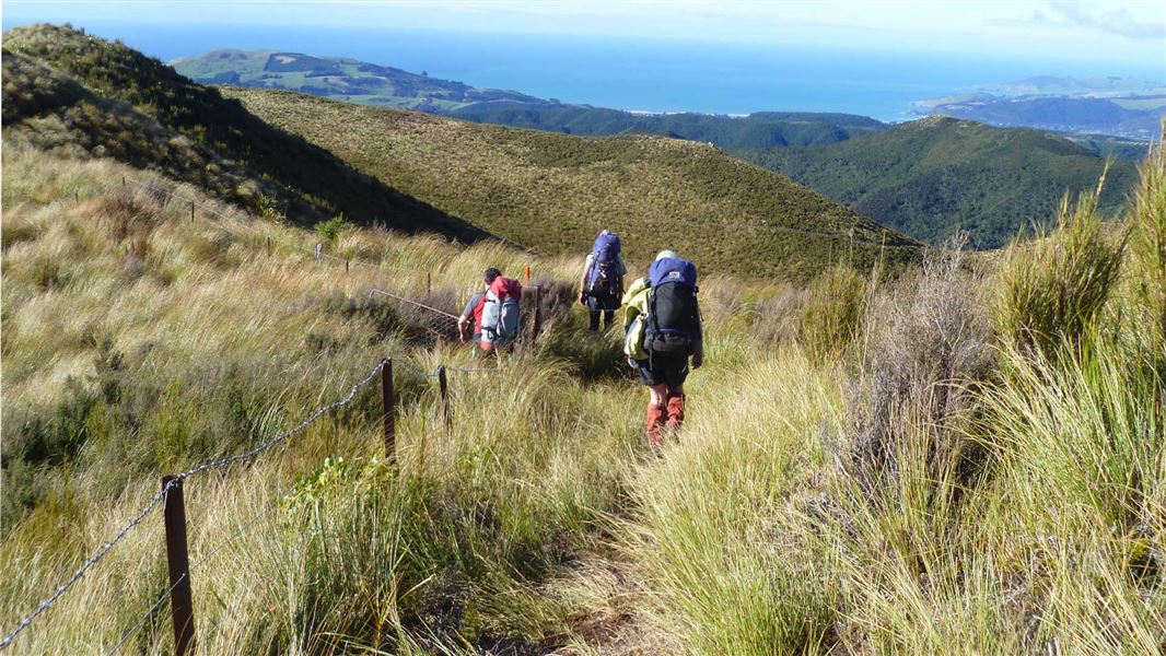
Advanced • 12 hr • 24 km • 6.01 km away
Grahams Bush Walkway
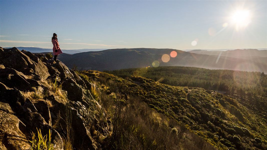
Easy • 2 hr 40 min • 6.8 km return • 6.09 km away
Chalkies Track
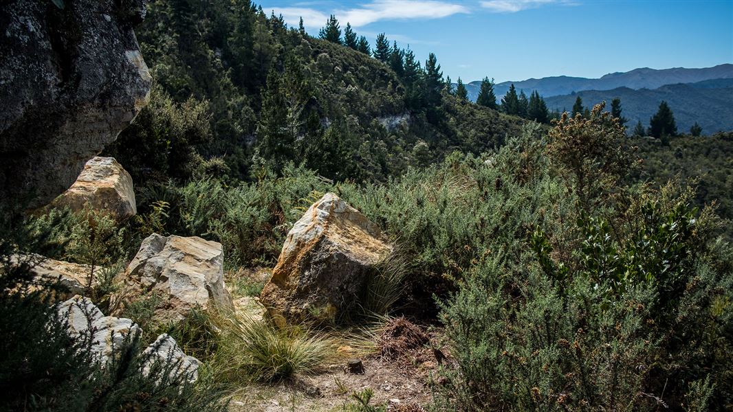
Advanced • 3 hr 30 min • 6 km • 7.21 km away
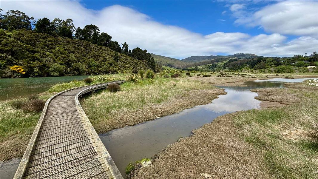
Orokonui Creek Walking Track
Easy • 50 min • 2.4 km • 8.47 km away
Careys Creek Track
Advanced • 4 hr one way • 9.5 km • 9 km away
Notes from people who have been
No notes yet. If you have been, say what you found.
Something missing or out of date?
Closed, moved, wrong facts, or something we have missed? Travellers keep the Road Guide up to date. Tell us what you found at contribute@parkup.nz and we will check it and add it.
Ask us to take this down
A person reads every request. We do not remove a place until we have checked it.
Sources
- DOC Tracks (API) · CC BY 4.0Crown Copyright: Department of Conservation Te Papa Atawhai. Data sourced from the DOC Developer Portal (api.doc.govt.nz).
- OpenStreetMap Trails · ODbL (Open Database License)Contains information from OpenStreetMap, made available under the ODbL.
- DOC Tracks & Trails · CC BY 4.0Data sourced from the Department of Conservation (DOC), New Zealand.