Chalkies Track
WalkOtagoOpen
- Grade
- Advanced
- Walking time
- 3 hr 30 min
- Distance
- 6 km
- Route
- Loop
- Dogs
- DOC permit only
Getting there
We have not checked a road end or car park for this place yet, so we do not give driving directions to it. Check how to get there before you go. Some routes cross private land and need the landowner's permission.
How to get there, on doc.govt.nzThe track is accessed via Silverstream Valley Road, approximately 20 minutes by car from Dunedin City. There is no public transport to this track.
There is a formal car park at the end of the Silverstream Valley Road managed by the Dunedin City Council. There is also a small layby area 900 m before the formal car park if you wish to park at the southern entrance to the track.
Source: DOC Te Papa Atawhai.
Map
Map data © OpenStreetMap contributors. Topo map: LINZ, CC BY 4.0. 45.80667° S, 170.40757° E
About this place
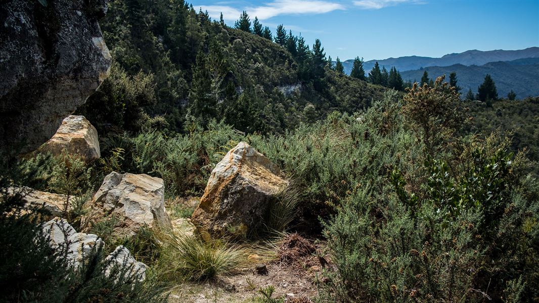
See across Silverpeaks and Taieri Plains. Cross Silver Stream and Leishmans Creek and make the steep 400 m climb to the top of Powder Hill for a challenging tramp with spectacular views.
The route
This description is based on a clockwise circuit of the track. You can start in either direction but be aware you must walk about 900 m on gravel by Silverstream Valley Road, sharing this section with vehicles. This is regardless of which entrance you use. The track begins by following Leishmans Creek at a gradual uphill gradient. It then crosses the creek and starts to rapidly climb. There are no bridges so expect to get wet feet when crossing Leishmans Creek and Silverstream if you complete the loop. After you cross the creek, you will immediately find a short steep climb with a rope to assist you if the track is slippery underfoot. The track then climbs through kanuka and broadleaf forest scattered with podocarps, including Halls Totara and Rimu. Birdlife is abundant, with Kererū, Bellbird/korimako, Tūī, Grey warbler/riroriro and Fantail/pīwakawaka particularly common. As you climb higher, the ascent mellows a little and provides magnificent views of the Silverpeaks and Taieri Plains. As you emerge onto the summit of Powder Hill, follow the poled track through manuka, flax, inaka, wild spaniard and patches of snow tussock to the trig (525 m). From here you can either return the way you came or carry on north and complete the loop track. If you choose to carry on, the track takes you past quartz limestone cliffs which are unusual in the Dunedin geological landscape. The track then descends back down the hill returning you to Silverstream Valley Road. Turn right once you leave the track to follow the gravel road where you will cross the Silverstream and eventually reach the carpark.
Source: DOC Te Papa Atawhai.
Know before you go
Stay safe when crossing rivers and streams
If you plan to cross unbridged rivers or side streams, know how to cross safely and be prepared for if you cannot cross. Do not cross if the river or stream is flooded, you cannot find safe entry and exit points or are unsure it’s safe. Turn back or wait for the river to drop. If in doubt, stay out. How to cross rivers safely NIWA river flow forecasts: View a video of national followed by regional river flows
Source: DOC Te Papa Atawhai.
Nearby stops
Walks nearby
Leith Saddle Track
Easy • 3.5 hr • 7.21 km away
Silverpeaks Circuit Track
Advanced • 12 hr • 24 km • 8.8 km away
Outram Glen to Lee Stream Walk
Easy • 3 hr • 8.5 km return • 12.99 km away
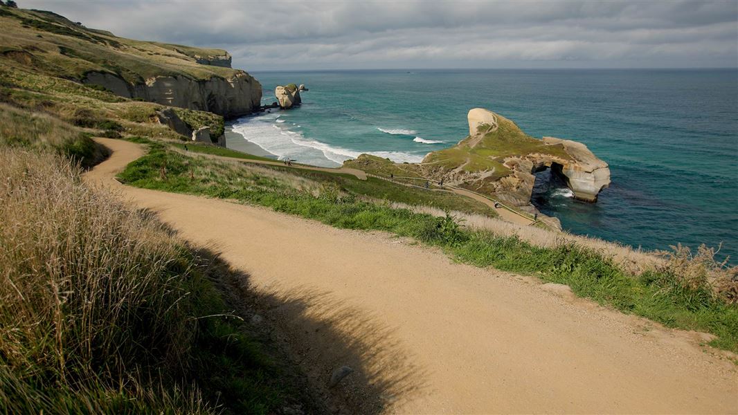
Tunnel Beach Walk
Easiest • 1 hr return • 2.6 km • 13.21 km away
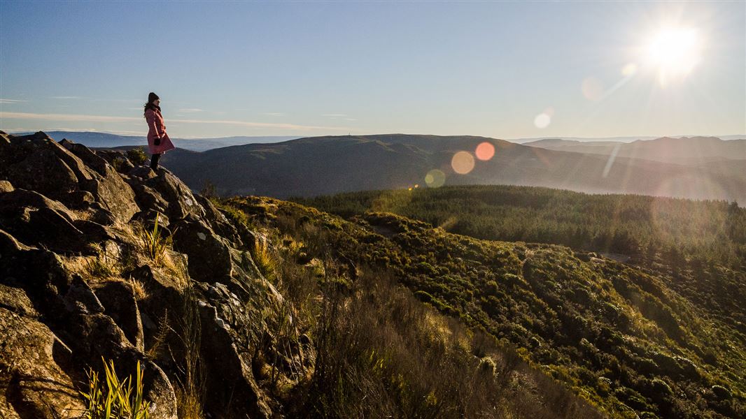
Grahams Bush Walkway
Easy • 2 hr 40 min • 6.8 km return • 13.23 km away
Notes from people who have been
No notes yet. If you have been, say what you found.
Something missing or out of date?
Closed, moved, wrong facts, or something we have missed? Travellers keep the Road Guide up to date. Tell us what you found at contribute@parkup.nz and we will check it and add it.
Ask us to take this down
A person reads every request. We do not remove a place until we have checked it.
Sources
- DOC Tracks & Trails · CC BY 4.0Data sourced from the Department of Conservation (DOC), New Zealand.
- DOC Tracks (API) · CC BY 4.0Crown Copyright: Department of Conservation Te Papa Atawhai. Data sourced from the DOC Developer Portal (api.doc.govt.nz).