Grahams Bush Walkway
WalkOtagoOpen
- Grade
- Easy
- Walking time
- 2 hr 40 min
- Distance
- 6.8 km return
- Route
- Return
- Dogs
- No dogs
Getting there
We have not checked a road end or car park for this place yet, so we do not give driving directions to it. Check how to get there before you go. Some routes cross private land and need the landowner's permission.
How to get there, on doc.govt.nzThe track starts/finishes from car parks at either end.
To walk uphill first start in Sawyers Bay. Park on the street at the sealed road end on Hall Road, off the Dunedin-Port Chalmers Road at Sawyers Bay. There is no parking or turning on the gravel road past this point.
To walk downhill first, there is a small car park on Mount Cargill Road, accessed via North Road. This car park also services the Organ Pipes Track.
Source: DOC Te Papa Atawhai.
Map
Map data © OpenStreetMap contributors. Topo map: LINZ, CC BY 4.0. 45.80768° S, 170.57830° E
About this place
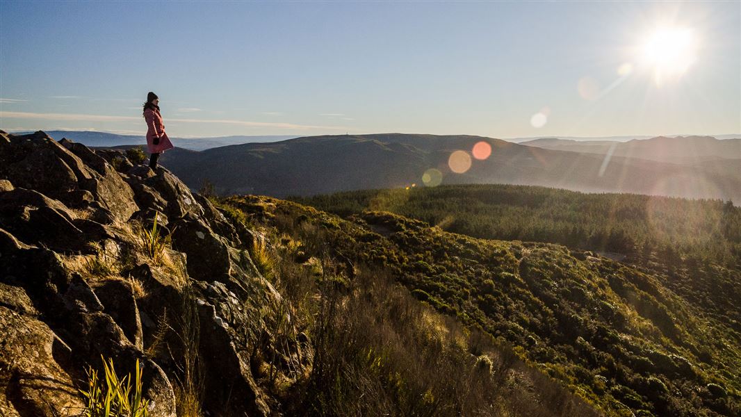
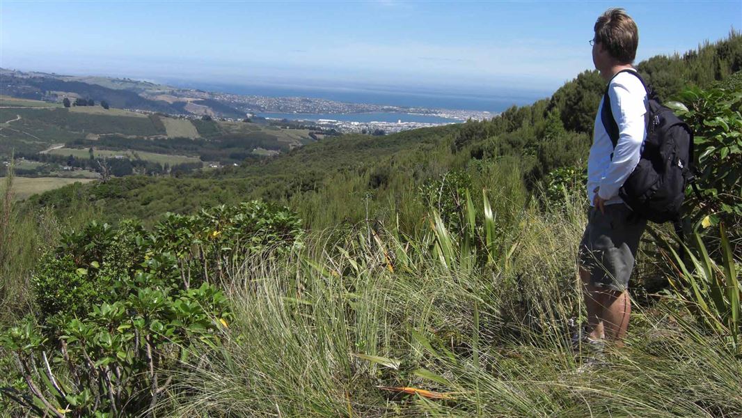
Climb through native bush with views of Otago Harbour and Otago Peninsula.
The route
This walkway provides foot access between Sawyers Bay and Mount Cargill Road. The track can be started at either end. If you prefer to do the hard work and walk-up hill first, start the walk in Sawyers Bay. The track is a steady climb the whole way and gains 366 m in elevation. To access the walkway from Sawyers Bay, park on the sealed road end on Hall Road. Walk up the gravel road until you reach a gate with a stile. From here the track officially starts and after 350 m you will enter Grahams Bush Scenic Reserve and start weaving your way uphill through native bush. The track has stiles, stairs, a creek crossing, and is steep and slippery in some sections. For those with time and a good level of fitness, the track connects with the Organ Pipes Track and the summit of Mount Cargill.
Source: DOC Te Papa Atawhai.
Know before you go
Stay safe when crossing rivers and streams
If you plan to cross unbridged rivers or side streams, know how to cross safely and be prepared for if you cannot cross. Do not cross if the river or stream is flooded, you cannot find safe entry and exit points or are unsure it’s safe. Turn back or wait for the river to drop. If in doubt, stay out. How to cross rivers safely NIWA river flow forecasts: View a video of national followed by regional river flows
Source: DOC Te Papa Atawhai.
Nearby stops
Saint Martin Lodge
26 bunks • Otago • 5.2 km
Saint Martin Lodge is a hut located in the Otago region. No further details regarding facilities or specific amenities are available in the provided records.
Portobello Village Tourist Park
Otago • 6.9 km
Leith Valley Touring Park
Otago • 7.5 km
Ben Rudds Hut
Otago • 9.2 km
MYHUB Holiday Parks Dunedin
Otago • 10.6 km
Walks nearby
Notes from people who have been
No notes yet. If you have been, say what you found.
Something missing or out of date?
Closed, moved, wrong facts, or something we have missed? Travellers keep the Road Guide up to date. Tell us what you found at contribute@parkup.nz and we will check it and add it.
Ask us to take this down
A person reads every request. We do not remove a place until we have checked it.
Sources
- DOC Tracks (API) · CC BY 4.0Crown Copyright: Department of Conservation Te Papa Atawhai. Data sourced from the DOC Developer Portal (api.doc.govt.nz).
- DOC Tracks & Trails · CC BY 4.0Data sourced from the Department of Conservation (DOC), New Zealand.