Careys Creek Track
WalkOtagoOpen
- Grade
- Advanced
- Walking time
- 4 hr
- Distance
- 9.5 km
- Dogs
- Under control
Access: read before you go
Careys Creek Track via Evansdale Glen Park in the gravel turn around area before the ford. The road beyond the ford is muddy and only suitable for four-wheel drive vehicles. There is a pedestrian bridge from the car park area to cross the creek. Rongomai and Honeycomb Track The entrance to Rongomai and Honeycomb Track from the forestry road (Steep Hill Road) are not accessible via car as there is a locked forestry gate. The last formed car park is on Steep Hill Road at the entrance to the Silverpeaks Circuit Track, approximately 5 km from Honeycomb Track entrance.
A permit is required to hunt on public conservation land. Find out information about hunting in the Careys Creek hunting area .
Source: DOC Te Papa Atawhai.
Getting there
We have not checked a road end or car park for this place yet, so we do not give driving directions to it. Check how to get there before you go. Some routes cross private land and need the landowner's permission.
How to get there, on doc.govt.nzCareys Creek Track via Double Hill Road Entrance: Access is via State Highway One north of Dunedin – turn left just after Waitati, at Double Hill Road, which becomes Semple Road. The car park is an open area on your right and will have a sign identifying Careys Creek Conservation Area.
Careys Creek Track via Evansdale Glen Entrance: Access is through Evansdale Glen Scenic Reserve. Continue along State Highway One past the turn off to Warrington, access to Evansdale Glen is via a gravel signposted road on the left as the highway turns up the hill.
Source: DOC Te Papa Atawhai.
Map
Map data © OpenStreetMap contributors. Topo map: LINZ, CC BY 4.0. 45.72371° S, 170.53420° E
Got a good photo of this place? Send it to us and we will show it with your name.
About this place
This track offers a challenging walk. There are plenty of opportunities for birdwatching and the chance to discover an area of Ōtepoti/Dunedin.
The route
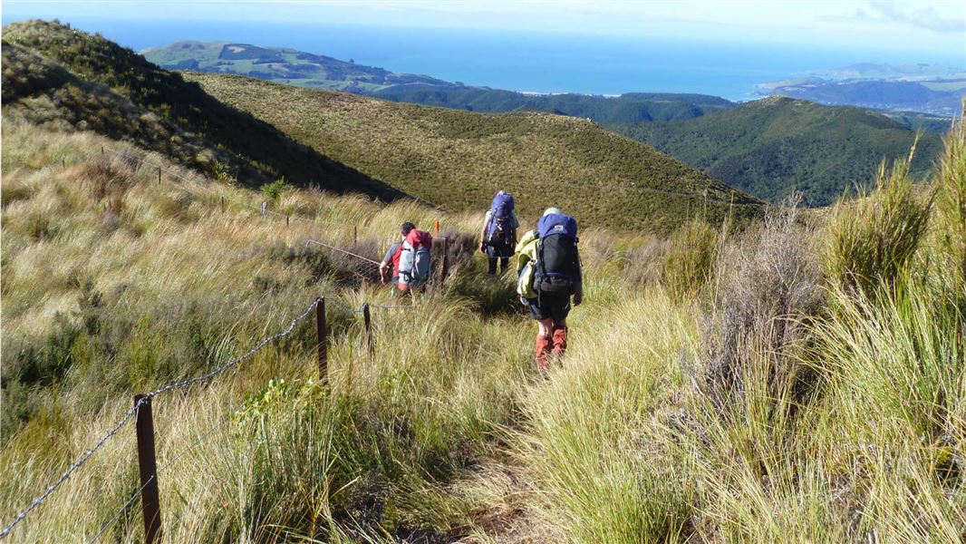
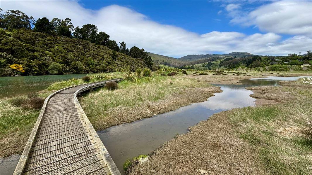
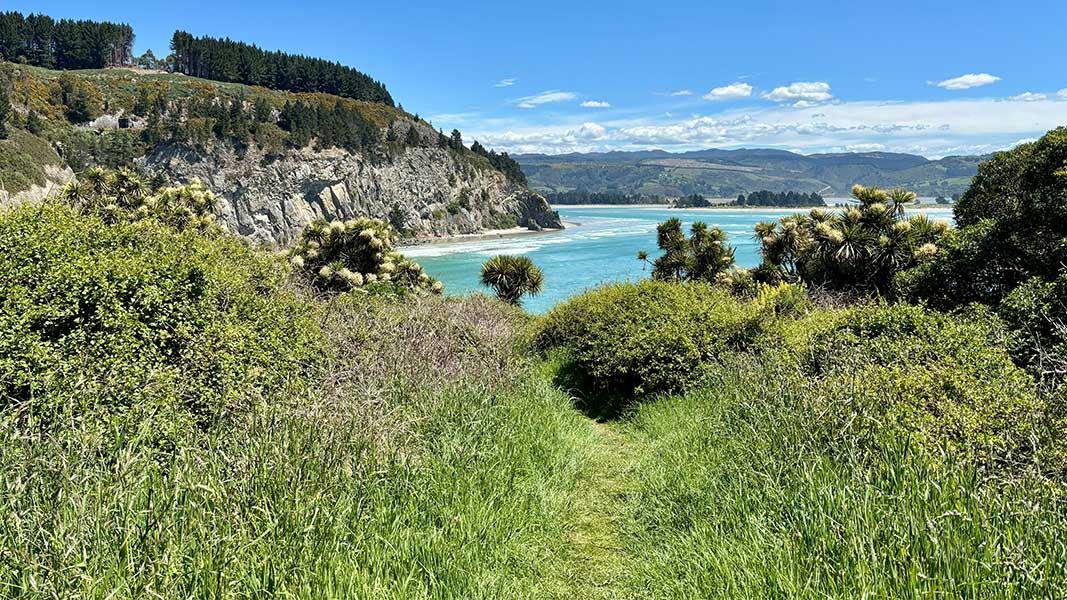
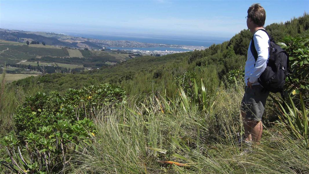
Experience the rugged hills just beyond the city while enjoying a remarkable variety of bird and plant life. Follow the contours of the valley and wander alongside Careys Creek, tucked away behind Blueskin Bay. From the carpark on Double Hill Road, the track will take you to Evansdale Glen/Waimoi. The gradient is initially mellow through kānuka and regenerating native forest. The track reaches some benches. This is a pleasant rest stop to enjoy the surrounds before descending steps through steep terrain into the gully. The track can be muddy and slippery as there are exposed rocks and roots. The track crosses the creek numerous times and is muddy in places with exposed slippery rocks and roots. Tramping boots are recommended. Be aware water levels of the creek may be higher after periods of rainfall and the track muddier. Careys Creek Track joins with with Rongomai Track and Honeycomb Track which can make a loop for a challenging side trip. Alternatively, the track can be walked in the opposite direction from Evansdale Glen.
Side trip: Honeycomb Track and Rongomai Track Loop
Honeycomb Track distance: 1.8 km 60 min one way Honeycomb Track ascends quickly away from the gully floor. Initially greeted with thick fern undergrowth, the bush opens up as the track climbs the ridge. This stretch is steep and rocky and often muddy. There are sections of exposed rock and uneven ground. Honeycomb Track finishes at the logging road. There is a small section of the road to be walked to reach the beginning of Rongomai Track. Be careful on this section as the road is actively used by logging trucks. Rongomai Track distance: 2.2 km 40 min one way Rongomai Track starts at the beginning of a paper road through forestry, before turning into native bush at a rocky outcrop and descending into the valley. The track is rocky and ground uneven in places. The loop can be walked from either direction. Both routes have challenging sections, however the gradient of Rongomai Track is more gradual overall. There is an informal old forest worker track which transects Honeycomb and Rongamai Track, this is not maintained.
Source: DOC Te Papa Atawhai.
Know before you go
Carparking
Careys Creek Track via Evansdale Glen Park in the gravel turn around area before the ford. The road beyond the ford is muddy and only suitable for four-wheel drive vehicles. There is a pedestrian bridge from the car park area to cross the creek. Rongomai and Honeycomb Track The entrance to Rongomai and Honeycomb Track from the forestry road (Steep Hill Road) are not accessible via car as there is a locked forestry gate. The last formed car park is on Steep Hill Road at the entrance to the Silverpeaks Circuit Track, approximately 5 km from Honeycomb Track entrance.
Hunting
A permit is required to hunt on public conservation land. Find out information about hunting in the Careys Creek hunting area .
Be aware of track hazards
This track involves creek crossings and can be slippery and muddy. Wear tramping boots. Flash flooding can occur during periods of high rainfall. Avoid the area during or immediately after periods of heavy rain. Take extra care on Honeycomb and Rongamai Tracks. The tracks traverse ridges and trampers are exposed to high points which can be slippery and unstable due to the rock formation. Black Gully Dam wall is still in place. Do not walk on the dam wall. There is a significant fall hazard. Logging trucks use Double Hill and Semple Road, take care when walking or driving. Drive with lights on.
Source: DOC Te Papa Atawhai.
Nearby stops

Philip J Cox Memorial Hut
Standard • 4 bunks • Otago • 3.2 km
Philip J Cox Memorial Hut is a standard four-bunk hut located in the Coastal Otago area.
Mattresses • Toilets - non-flush • Water from tap - not treated, boil before use

Jubilee Hut
Standard • 10 bunks • Otago • 7.3 km
Jubilee Hut is a standard ten-bunk hut located in the Coastal Otago area. It features two large beds that can accommodate six people, along with drinking water…
Mattresses • Toilets - non-flush • Water from tap - not treated, boil before use
Christmas Creek Hut
Otago • 8 km
Christmas Creek Hut is a backcountry hut located in the Otago region of New Zealand. The provided data does not include further details regarding its specific…
Bendoran Hut
Otago • 8.8 km
Mount John Hut
Otago • 9.7 km
Mount John Hut is a backcountry hut located in the Otago region of New Zealand. It provides basic shelter for hikers and tramping parties in the area.
Walks nearby
Notes from people who have been
No notes yet. If you have been, say what you found.
Something missing or out of date?
Closed, moved, wrong facts, or something we have missed? Travellers keep the Road Guide up to date. Tell us what you found at contribute@parkup.nz and we will check it and add it.
Ask us to take this down
A person reads every request. We do not remove a place until we have checked it.
Sources
- DOC Tracks & Trails · CC BY 4.0Data sourced from the Department of Conservation (DOC), New Zealand.
- OpenStreetMap Trails · ODbL (Open Database License)Contains information from OpenStreetMap, made available under the ODbL.
- DOC Tracks (API) · CC BY 4.0Crown Copyright: Department of Conservation Te Papa Atawhai. Data sourced from the DOC Developer Portal (api.doc.govt.nz).