Lake Rotoiti (West Bay) walks
WalkTasman
- Grade
- Easy
- Walking time
- 1 hr 30 min
- Dogs
- No dogs
Access: read before you go
Flying a drone without a permit is strictly prohibited. Drone use on conservation land
Source: DOC Te Papa Atawhai.
Getting there
We have not checked a road end or car park for this place yet, so we do not give driving directions to it. Check how to get there before you go. Some routes cross private land and need the landowner's permission.
How to get there, on doc.govt.nzThese walks start to the west of St Arnaud.
Source: DOC Te Papa Atawhai.
Map and tracks
Track lines: DOC Te Papa Atawhai. Map data © OpenStreetMap contributors. Topo map: LINZ, CC BY 4.0. 41.79819° S, 172.82583° E
About this place
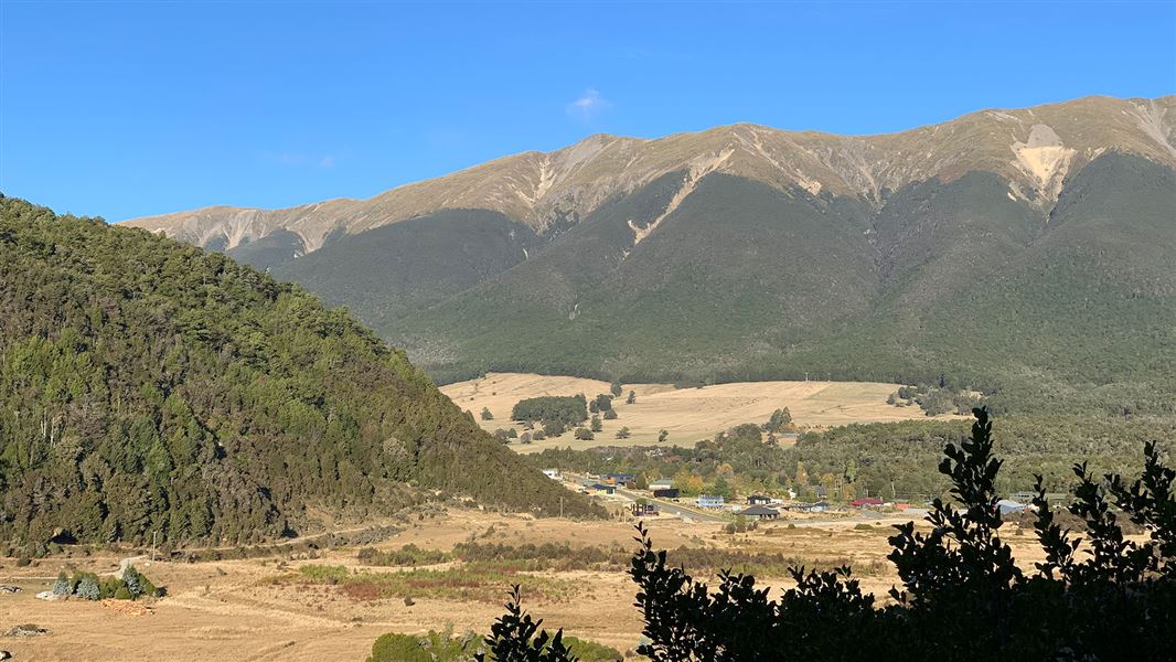
Explore West Bay on Lake Rotoiti on these short walks.
The route
Black Hill Walk
Time: 1 hr 30 min return
Black Hill Walk climbs through beech forest and stands of mānuka and kānuka onto Black Hill. Black Hill is a ‘roche moutonée’ (French for ‘rock sheep’), a volcanic rock shaped by glacial ice flowing over it. Near the top is a clearing from which St Arnaud Village and Big Bush can be viewed. The track descends steeply to the highway and follows it back to Lodge Road. This walk can easily be linked to the Brunner Peninsula Nature Walk or Moraine Walk below to make a half-day excursion. Getting there: The walk starts at the end of Lodge Road in St Arnaud.
Moraine Walk
Time: 1 hr 30 min return
Moraine Walk winds around the base of Black Hill, over piles of moraine debris left by the ancient Travers Glacier, and past kettle ponds created when blocks of ice surrounded by glacial gravel melted away. The forest type along this walk is predominately mānuka and kānuka. The walk passes through the back of West Bay campground and on to the Buller River. Getting there: Start the walk at the junction of SH 63 and Lodge Road in St Arnaud.
Anglers Walk
Time: 1 hr
This walk makes a pleasant extension to Moraine Walk and the circuit can be completed by returning along SH 63. The track follows the northern river bank where there are several good spots for trout fishing. The walk passes through stands of mānuka and kānuka trees lining the banks of the Buller River. This type of forest is often a sign of past destruction by fire; it serves as an important primary link in the regeneration of beech forest. Getting there: Start at the Buller Bridge on Mt Robert Road near St Arnaud, just below the river’s lake source.
Source: DOC Te Papa Atawhai.
Know before you go
Nelson Lakes - thefts from vehicles
Isolated carparks are prone to theft. Don't leave any valuables in your vehicle. A bag storage facility is available at the Rotoiti/Nelson Lakes Visitor Centre.
No drones
Flying a drone without a permit is strictly prohibited. Drone use on conservation land
Source: DOC Te Papa Atawhai.
Joins these tracks
Source: DOC Te Papa Atawhai.
Nearby stops

West Bay Campsite - Jetty zone
Standard • Tasman • 0.1 km
West Bay Campsite - Jetty zone is a summer-only campsite in Nelson Lakes National Park, situated on a lake for water activities. It is one of two camping zones…
Boat launching • Non-powered/tent sites • Shelter for cooking
West Bay Campsite - Buller zone
Standard • Tasman • 0.4 km
West Bay Campsite is a lakeside campsite located in Nelson Lakes National Park. It operates as one of two camping zones at the site and is open from…
Non-powered/tent sites • Shelter for cooking • Shower - cold

Teetotal Campsite
Standard • Tasman • 0.9 km
Teetotal Campsite is located in the Tasman region and serves as a base for exploring the nearby Nelson Lakes National Park.
Non-powered/tent sites • Water from tap - not treated, boil before use • Wheelchair accessible

Kerr Bay Campsite
Serviced • Tasman • 2 km
Kerr Bay Campsite is located next to Lake Rotoiti in the Tasman region. The site is surrounded by beech forest and has a boat launching ramp nearby.
Boat launching • Cookers/electric stove • Dump station

Bushline Hut
Serviced • 14 bunks • Tasman • 4.3 km
Bushline Hut is a Department of Conservation hut in the Tasman region. It is described as a great overnight tramp option for families with children or new…
Heating • Mattresses • Toilets - non-flush
Walks nearby
Honeydew Track
Short walk • Under 1 hour • 2.26 km away
Loop Track
Walking track • Under 1 hour • 2.39 km away
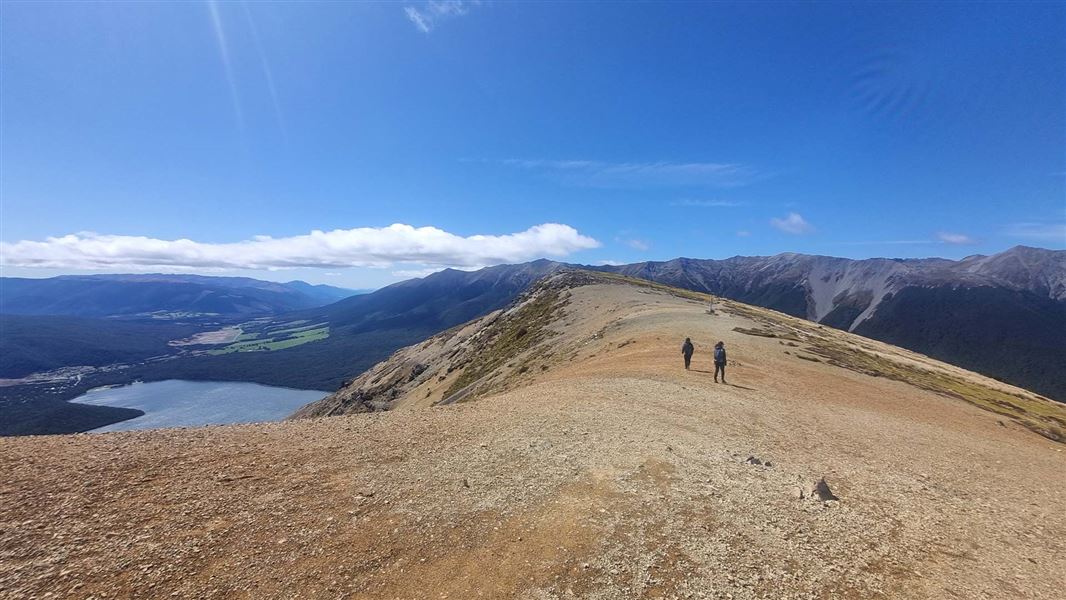
Mount Robert Circuit
Advanced • 5 hr return • 9 km • 3.28 km away
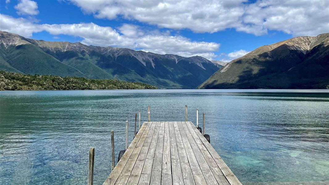
Lake Rotoiti Circuit
Advanced • 7-10 hr • 23 km (with river crossing) or 31 km (via swingbridge) • 3.95 km away
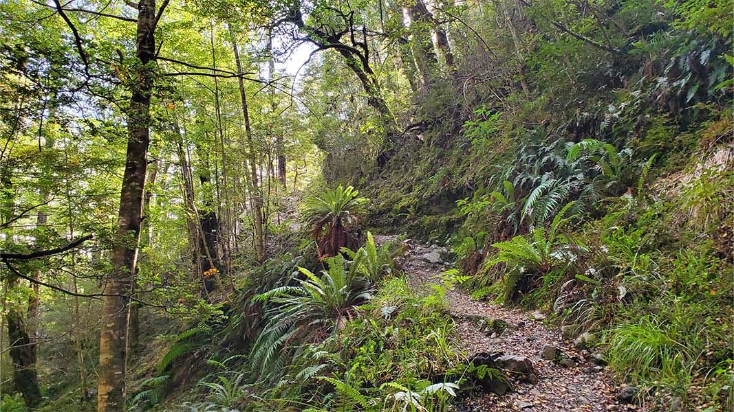
Speargrass Track
Intermediate • 3 hr one way • 7 km one way • 5.75 km away
Notes from people who have been
No notes yet. If you have been, say what you found.
Something missing or out of date?
Closed, moved, wrong facts, or something we have missed? Travellers keep the Road Guide up to date. Tell us what you found at contribute@parkup.nz and we will check it and add it.
Ask us to take this down
A person reads every request. We do not remove a place until we have checked it.
Sources
- DOC Tracks (API) · CC BY 4.0Crown Copyright: Department of Conservation Te Papa Atawhai. Data sourced from the DOC Developer Portal (api.doc.govt.nz).