Lake Rotoiti (Kerr Bay) walks
WalkTasman
- Grade
- Easy
- Walking time
- 1 hr 30 min
- Dogs
- No dogs
Access: read before you go
Flying a drone without a permit is strictly prohibited. Drone use on conservation land
Source: DOC Te Papa Atawhai.
Getting there
We have not checked a road end or car park for this place yet, so we do not give driving directions to it. Check how to get there before you go. Some routes cross private land and need the landowner's permission.
How to get there, on doc.govt.nzStart these walks from Kerr Bay in St Arnaud.
Source: DOC Te Papa Atawhai.
Map
Map data © OpenStreetMap contributors. Topo map: LINZ, CC BY 4.0. 41.80682° S, 172.84788° E
About this place
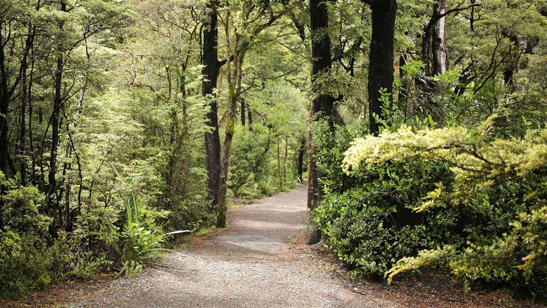
Explore Kerr Bay on Lake Rotoiti on these short walks and experience the outcomes of the Rotoiti Nature Recovery Project.
The route
Bellbird Walk
Time: 15 min
The short, wheelchair-standard Bellbird Walk gives an introduction to the Rotoiti Nature Recovery Project area. This sheltered corner of the lake attracts nectar-feeding birds such as tūī and bellbirds to the large red beech trees that dominate this area. Listen for their enchanting calls as you take this walk. Keep an eye out for other insect-eating forest birds as well. The track begins at the car park near the east jetty at Kerr Bay. Allow 5 minutes walking time for this as well as 10 minutes or so to read the information panels along the way. The deciduous New Zealand fuchsia, which is rare in much of the forest due to browsing by possums, may be seen in several places along this walk. The pathway returns through a small wetland area where sedges, rushes, ferns and mosses thrive. Getting there: The walk starts at the end of Kerr Bay Road in St Arnaud.
Honeydew Walk
Time: 45 min
This walk branches off from the Bellbird Walk. It takes you further into the Rotoiti Nature Recovery Project area along a high-standard track. The surface is suitable for wheelchairs but would need someone to push on the steeper slopes. The blackened trunks and branches of most of the red and mountain beech trees along the walk are brought about by a small scale insect that buries itself within the bark of the tree. This insect feeds on the sugar-rich sapwood of the tree and excretes any excess sugar surplus to its requirements out through a long, white, hair-like anal tube. The black sooty mould that coats these trees, without harming them, thrives on the sticky ‘honeydew’ produced by the scale insect. Many animals, such as nectar-feeding birds, insects and lizards, rely heavily on collecting these nutritious honeydew droplets for food. Bellbirds and tūī are common in this area, and you may see robins, tomtits and fantails. You may also glimpse kākā or hear kākāriki chattering as they fly through the canopy. Getting there: Start on the Bellbird Walk at the end of Kerr Bay Road in St Arnaud.
Loop Track
Time: 1 hr 30 min
Start the track by taking the Bellbird Walk and Honeydew Walk before turning left to follow the St Arnaud Range/Loop Track. From here, the track climbs a series of terraces to a junction at a creek and then loops back and down until you re-emerge at the lakeshore and join the Lakehead Track, which returns to the car park. The track is likely to be a bit muddy after rain. Three species of the palatable beech mistletoe are evident in places; you may see their red and yellow flowers in December/January. These bear testament to the effectiveness of the possum control work being carried out in the recovery project area. Getting there: Start on the Bellbird Walk at the end of Kerr Bay Road in St Arnaud.
Black Valley Walk
Time: 30 min
This walk follows the Black Valley Stream through majestic beech forest. The Black Valley stream has cut its way through deposits of rubble dumped by past glaciers. You may notice that some trees along this walk are banded with metal strips. These are placed to prevent possums from climbing the trees and destroying the beech mistletoes that grow in the crowns of these trees. Getting there: The walk starts in the Kerr Bay Campsite, on Kerr Bay Road in St Arnaud.
Brunner Peninsula Nature Walk
Time: 1 hr
This walk starts at the western side of Kerr Bay. It follows the peninsula around into West Bay, twice crossing the Alpine Fault. Return via Baxter Street or Cotterell Street and View Road. Panels along the way give an insight into the history of the area. For a longer walk (1 h 30 min) continue to the next junction and turn right, returning to Kerr Bay via Rotoiti Lodge and Ward Street. This walk has a good variety of native plants and several easy access points to the lakeshore. Getting there: Start this walk on Kerr Bay Road, just below the Nelson Lakes Visitor Centre in St Arnaud.
Source: DOC Te Papa Atawhai.
Know before you go
No drones
Flying a drone without a permit is strictly prohibited. Drone use on conservation land
Source: DOC Te Papa Atawhai.
Nearby stops

Kerr Bay Campsite
Serviced • Tasman • 0.1 km
Kerr Bay Campsite is located next to Lake Rotoiti in the Tasman region. The site is surrounded by beech forest and has a boat launching ramp nearby.
Boat launching • Cookers/electric stove • Dump station

Teetotal Campsite
Standard • Tasman • 1.9 km
Teetotal Campsite is located in the Tasman region and serves as a base for exploring the nearby Nelson Lakes National Park.
Non-powered/tent sites • Water from tap - not treated, boil before use • Wheelchair accessible

West Bay Campsite - Jetty zone
Standard • Tasman • 2 km
West Bay Campsite - Jetty zone is a summer-only campsite in Nelson Lakes National Park, situated on a lake for water activities. It is one of two camping zones…
Boat launching • Non-powered/tent sites • Shelter for cooking
West Bay Campsite - Buller zone
Standard • Tasman • 2.2 km
West Bay Campsite is a lakeside campsite located in Nelson Lakes National Park. It operates as one of two camping zones at the site and is open from…
Non-powered/tent sites • Shelter for cooking • Shower - cold

Bushline Hut
Serviced • 14 bunks • Tasman • 3.9 km
Bushline Hut is a Department of Conservation hut in the Tasman region. It is described as a great overnight tramp option for families with children or new…
Heating • Mattresses • Toilets - non-flush
Walks nearby
Honeydew Track
Short walk • Under 1 hour • 0.2 km away
Loop Track
Walking track • Under 1 hour • 0.39 km away
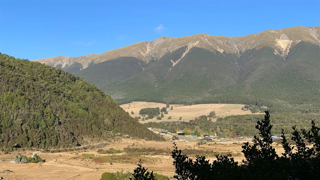
Lake Rotoiti (West Bay) walks
Easy • 1 hr | 1 hr 30 min • 2.07 km away
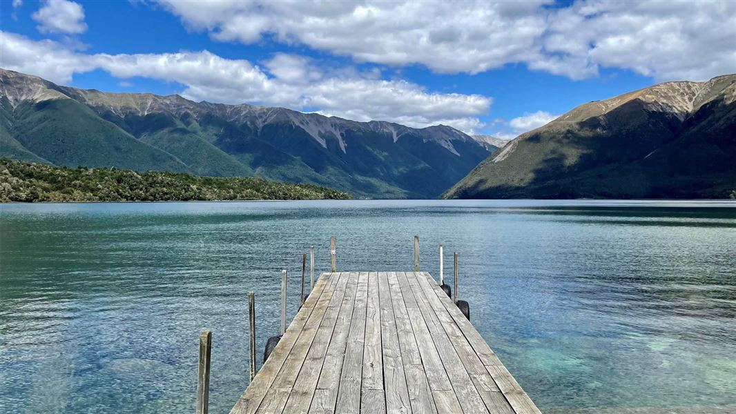
Lake Rotoiti Circuit
Advanced • 7-10 hr • 23 km (with river crossing) or 31 km (via swingbridge) • 3.1 km away
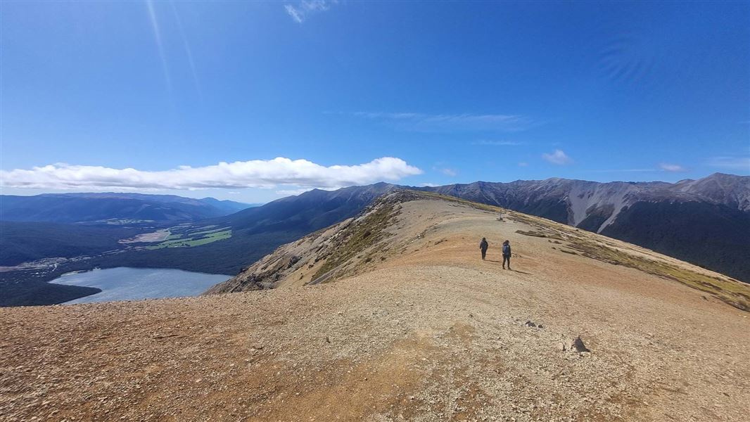
Mount Robert Circuit
Advanced • 5 hr return • 9 km • 3.17 km away
Notes from people who have been
No notes yet. If you have been, say what you found.
Something missing or out of date?
Closed, moved, wrong facts, or something we have missed? Travellers keep the Road Guide up to date. Tell us what you found at contribute@parkup.nz and we will check it and add it.
Ask us to take this down
A person reads every request. We do not remove a place until we have checked it.
Sources
- DOC Tracks (API) · CC BY 4.0Crown Copyright: Department of Conservation Te Papa Atawhai. Data sourced from the DOC Developer Portal (api.doc.govt.nz).