Honeydew Track
WalkTasmanOpen
- Grade
- Easy
- Route
- Loop
- Dogs
- No dogs
Getting there
We have not checked a road end or car park for this place yet, so we do not give driving directions to it. Check how to get there before you go. Some routes cross private land and need the landowner's permission.
Map
Map data © OpenStreetMap contributors. Topo map: LINZ, CC BY 4.0. 41.80811° S, 172.84958° E
Got a good photo of this place? Send it to us and we will show it with your name.
Nearby stops

Kerr Bay Campsite
Serviced • Tasman • 0.3 km
Kerr Bay Campsite is located next to Lake Rotoiti in the Tasman region. The site is surrounded by beech forest and has a boat launching ramp nearby.
Boat launching • Cookers/electric stove • Dump station

Teetotal Campsite
Standard • Tasman • 2.1 km
Teetotal Campsite is located in the Tasman region and serves as a base for exploring the nearby Nelson Lakes National Park.
Non-powered/tent sites • Water from tap - not treated, boil before use • Wheelchair accessible

West Bay Campsite - Jetty zone
Standard • Tasman • 2.2 km
West Bay Campsite - Jetty zone is a summer-only campsite in Nelson Lakes National Park, situated on a lake for water activities. It is one of two camping zones…
Boat launching • Non-powered/tent sites • Shelter for cooking
West Bay Campsite - Buller zone
Standard • Tasman • 2.4 km
West Bay Campsite is a lakeside campsite located in Nelson Lakes National Park. It operates as one of two camping zones at the site and is open from…
Non-powered/tent sites • Shelter for cooking • Shower - cold

Bushline Hut
Serviced • 14 bunks • Tasman • 3.9 km
Bushline Hut is a Department of Conservation hut in the Tasman region. It is described as a great overnight tramp option for families with children or new…
Heating • Mattresses • Toilets - non-flush
Walks nearby
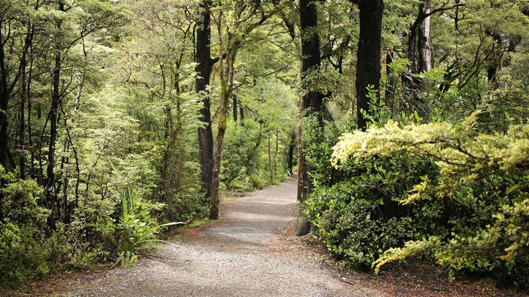
Lake Rotoiti (Kerr Bay) walks
Easiest • Various up to 1 hr 30 min • 0.2 km away
Loop Track
Walking track • Under 1 hour • 0.21 km away
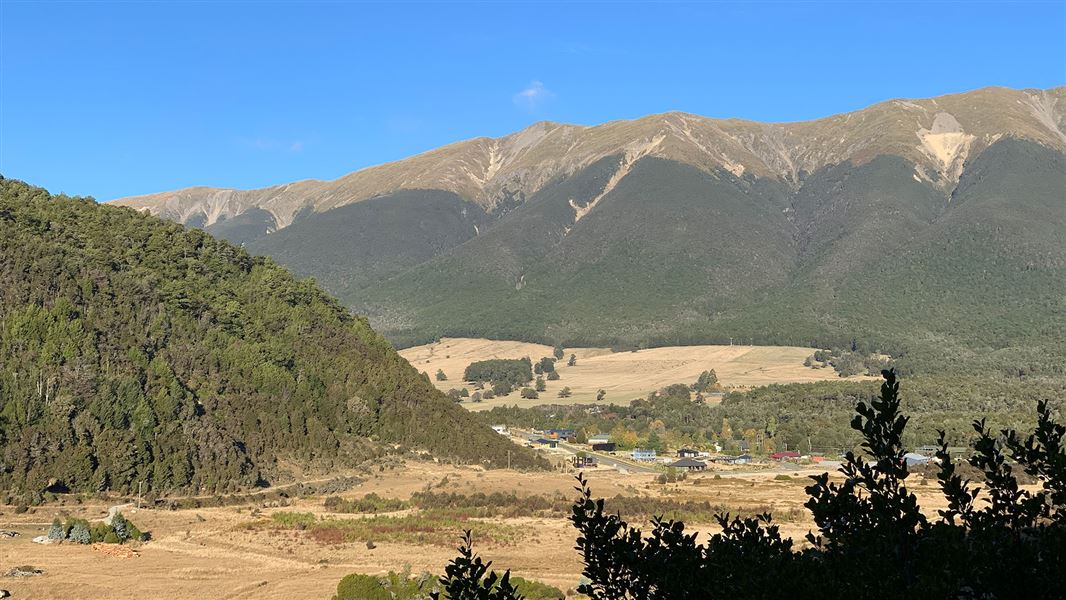
Lake Rotoiti (West Bay) walks
Easy • 1 hr | 1 hr 30 min • 2.26 km away
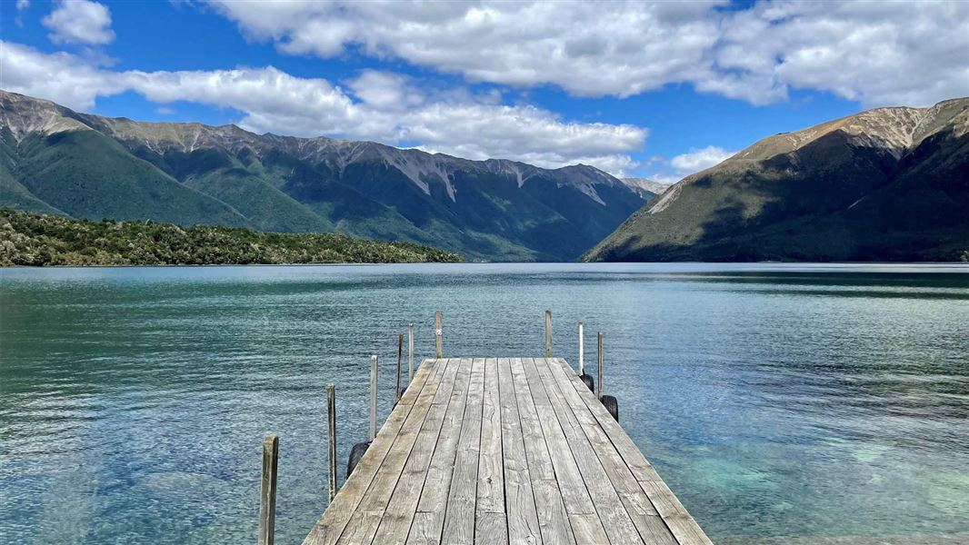
Lake Rotoiti Circuit
Advanced • 7-10 hr • 23 km (with river crossing) or 31 km (via swingbridge) • 3.02 km away
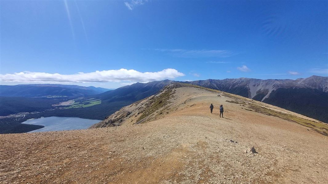
Mount Robert Circuit
Advanced • 5 hr return • 9 km • 3.17 km away
Notes from people who have been
No notes yet. If you have been, say what you found.
Something missing or out of date?
Closed, moved, wrong facts, or something we have missed? Travellers keep the Road Guide up to date. Tell us what you found at contribute@parkup.nz and we will check it and add it.
Ask us to take this down
A person reads every request. We do not remove a place until we have checked it.
Sources
- DOC Tracks & Trails · CC BY 4.0Data sourced from the Department of Conservation (DOC), New Zealand.
- OpenStreetMap Trails · ODbL (Open Database License)Contains information from OpenStreetMap, made available under the ODbL.