Mount Robert Circuit
WalkTasman
- Grade
- Advanced
- Walking time
- 5 hr
- Distance
- 9 km
- Dogs
- No dogs
Getting there
We have not checked a road end or car park for this place yet, so we do not give driving directions to it. Check how to get there before you go. Some routes cross private land and need the landowner's permission.
How to get there, on doc.govt.nzFrom St Arnaud, follow SH 63 west for 2 km, then turn into Mount Robert Road. Follow this for 4.9 km to the car park at the end.
Pinchgut Track starts from the car park; Paddy's Track start 500 m before the car park.
St Arnaud is 88 km from Nelson on SH6, 129 km from Picton on SH63, 157 km from Wesport on SH6 and SH63, and 350 km from Christchurh on SH65 and SH6.
Source: DOC Te Papa Atawhai.
Map
Map data © OpenStreetMap contributors. Topo map: LINZ, CC BY 4.0. 41.82749° S, 172.82158° E
About this place
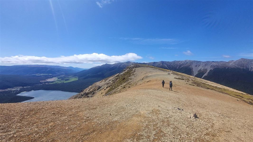
This loop track around the northern face of Pourangahau/Mount Robert offers spectacular views over Lake Rotoiti that will keep even kids entertained. It can be enjoyed as a day or overnight walk.
The route
Walkers looking across Lake Rotoiti from Pinchgut Track This well marked, well-formed circuit combines the Pinchgut Track and Paddy's Track.
Pinchgut Track
The Pinchgut Track zigzags up the steep, bare face of Pourangahau/Mount Robert on a well graded track before entering beech forest. After climbing for one and a half hours, you reach the bush edge, where the forest gives way to alpine herbs and shrubs. From here the track continues across the open ridge top and reaches Relax Shelter. At a junction just past the shelter, Paddy’s Track begins and heads east to Bushline Hut, a great place to stop for lunch or stay overnight. To complete the circuit walk, head down to Mt Robert Road on Paddy's Track and walk 500 m along the road back to the car park.
Paddy's Track
You can begin the Mount Robert Circuit along Paddy’s Track, which cuts across the mountain’s open face and crosses several scree-filled gullies before climbing to Bushline Hut. To complete the circuit, take the track across the ridge top and return to Mt Robert car park via the Pinchgut Track.
Source: DOC Te Papa Atawhai.
Know before you go
Nelson Lakes - thefts from vehicles
Isolated carparks are prone to theft. Don't leave any valuables in your vehicle. A bag storage facility is available at the Rotoiti/Nelson Lakes Visitor Centre.
Source: DOC Te Papa Atawhai.

Nearby stops
Kea Hut
Tasman • 1.2 km
Relax Shelter
Tasman • 1.3 km
Relax Shelter is a basic hut located in the Tasman region. It provides simple accommodation for walkers and hikers in the area.
West Bay Campsite - Buller zone
Standard • Tasman • 3 km
West Bay Campsite is a lakeside campsite located in Nelson Lakes National Park. It operates as one of two camping zones at the site and is open from…
Non-powered/tent sites • Shelter for cooking • Shower - cold

Kerr Bay Campsite
Serviced • Tasman • 3.3 km
Kerr Bay Campsite is located next to Lake Rotoiti in the Tasman region. The site is surrounded by beech forest and has a boat launching ramp nearby.
Boat launching • Cookers/electric stove • Dump station

West Bay Campsite - Jetty zone
Standard • Tasman • 3.3 km
West Bay Campsite - Jetty zone is a summer-only campsite in Nelson Lakes National Park, situated on a lake for water activities. It is one of two camping zones…
Boat launching • Non-powered/tent sites • Shelter for cooking
Walks nearby
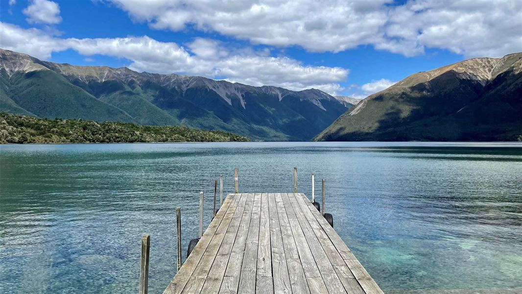
Lake Rotoiti Circuit
Advanced • 7-10 hr • 23 km (with river crossing) or 31 km (via swingbridge) • 1.28 km away
Loop Track
Walking track • Under 1 hour • 3.05 km away
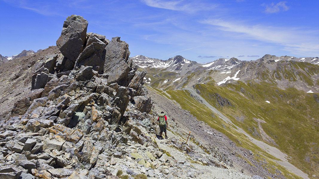
Angelus Hut via Pinchgut Track and Robert Ridge Route
Advanced • 6 hr • 12.2 km • 3.07 km away
Honeydew Track
Short walk • Under 1 hour • 3.17 km away
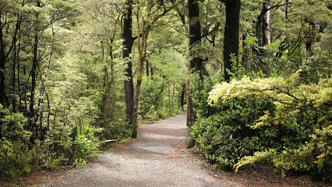
Lake Rotoiti (Kerr Bay) walks
Easiest • Various up to 1 hr 30 min • 3.17 km away
Notes from people who have been
No notes yet. If you have been, say what you found.
Something missing or out of date?
Closed, moved, wrong facts, or something we have missed? Travellers keep the Road Guide up to date. Tell us what you found at contribute@parkup.nz and we will check it and add it.
Ask us to take this down
A person reads every request. We do not remove a place until we have checked it.
Sources
- DOC Tracks (API) · CC BY 4.0Crown Copyright: Department of Conservation Te Papa Atawhai. Data sourced from the DOC Developer Portal (api.doc.govt.nz).
- OpenStreetMap Trails · ODbL (Open Database License)Contains information from OpenStreetMap, made available under the ODbL.