Kaituna Valley Packhorse Hut Track
WalkCanterburyOpen
- Grade
- Intermediate
- Walking time
- 1 hr 20 min
- Distance
- 4 km
- Route
- One way
- Dogs
- No dogs
Getting there
We have not checked a road end or car park for this place yet, so we do not give driving directions to it. Check how to get there before you go. Some routes cross private land and need the landowner's permission.
How to get there, on doc.govt.nzFrom Christchurch, take SH75 to Kaituna Valley Road. Turn left into Parkinsons Road after 6 km. Park near the road end where the track starts. This offers much more secure parking than Gebbies Pass.
Source: DOC Te Papa Atawhai.
Map and tracks
Track lines: DOC Te Papa Atawhai. Map data © OpenStreetMap contributors. Topo map: LINZ, CC BY 4.0. 43.71579° S, 172.69437° E
About this place
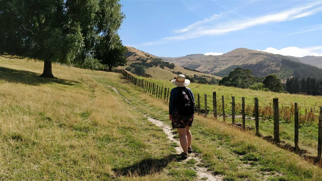
The walk to Packhorse Hut can be enjoyed as a half day walk but is also a great overnight tramp for families with children and new trampers.
The route
This track is part of the Te Ara Pātaka/Summit Walkway . This well signposted track passes through a farm, following vehicle tracks up a native bush-filled valley. The track goes through pasture and then forest, crossing the valley stream several times. In the summer you can use stepping stones to cross, but be prepared to get wet feet if the stream is up after rain. The track eventually climbs steeply onto a big spur. From here you can see over Kaitorete Spit and Lake Te Waihora/Lake Ellesmere. You can also see along the coast towards Ashburton. The track then follows the open spur before reaching a farm track through the Parkinsons Bush Reserve. This reserve is a small but important stand of native forest. The track then leads to the saddle and the historic stone Packhorse Hut, well situated for the views. Packhorse Hut makes a great place for a sheltered lunch stop if completing this walk in a day or a night stay for families or those travelling the Te Ara Pātaka track.
Mountain biking
Mountain biking is not allowed on this section of Te Ara Pātaka/Summit Walkway.
Source: DOC Te Papa Atawhai.
Know before you go
Weather
Kaituna Valley can get very wet and windy in southerly weather. The valley gets hot in summer. Bring lots of water and sun protection.
Farm animals
This track goes through an active farm. There may be sheep and cattle in the area of the track and hut. Do not touch the animals including lambs and calves, and give all animals plenty of space.
Stream crossings
The stream is normally shallow but can flood in heavy rain. The stream crossings do not have bridges and may be unsafe to cross in severe weather.
Wasps
You may encounter wasps in the autumn and summer months (September to March). Take care and carry antihistamines / epi pen if allergic to wasps.
Take care near stinging nettle
Urtica ferox (ongaonga) is an endemic stinging nettle and common in this area. Take care not to touch these plants as they have a very strong sting. Ongaonga are an important host plant of Vanessa gonerilla (kahukura), the endemic red admiral butterfly.
Source: DOC Te Papa Atawhai.
Joins these tracks
Source: DOC Te Papa Atawhai.

Nearby stops
Orton Bradley Group Campsite
Canterbury • 6.1 km
Orton Bradley Group Campsite is a camping area located in the Canterbury region. The provided data does not list specific facilities or details for this site.
Monument Shelter Hut
Canterbury • 7.9 km
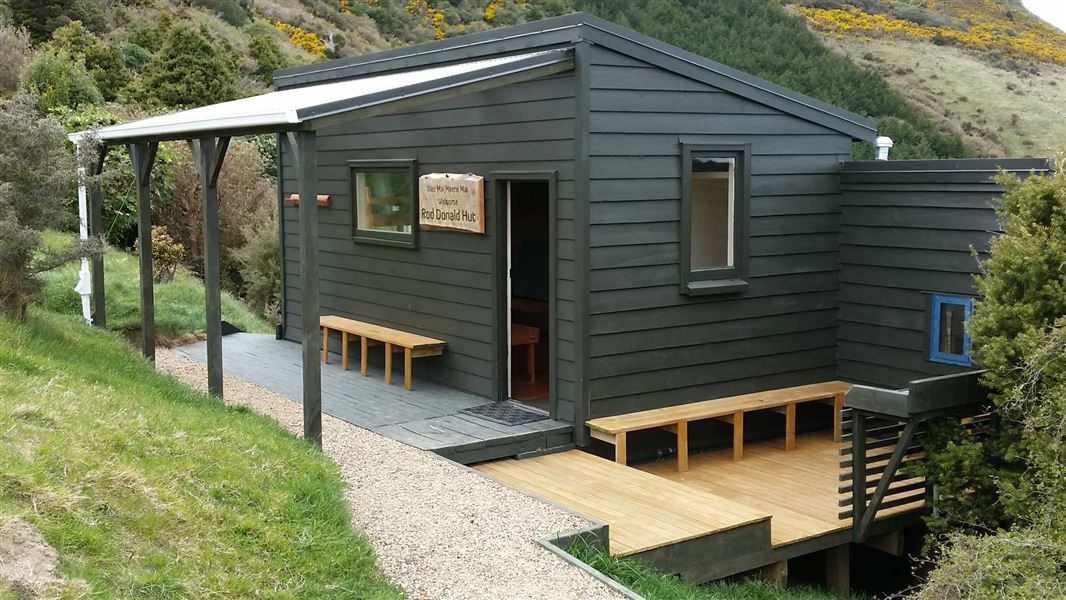
Rod Donald Hut
Serviced • 9 bunks • Canterbury • 8.3 km
Rod Donald Hut is a serviced nine-bunk hut located in the Christchurch and Banks Peninsula area of Canterbury.
Heating • Mattresses • Lighting
Waihora Park Domain
Canterbury • 8.9 km
Purau Restricted Area
Canterbury • 9.6 km
Walks nearby
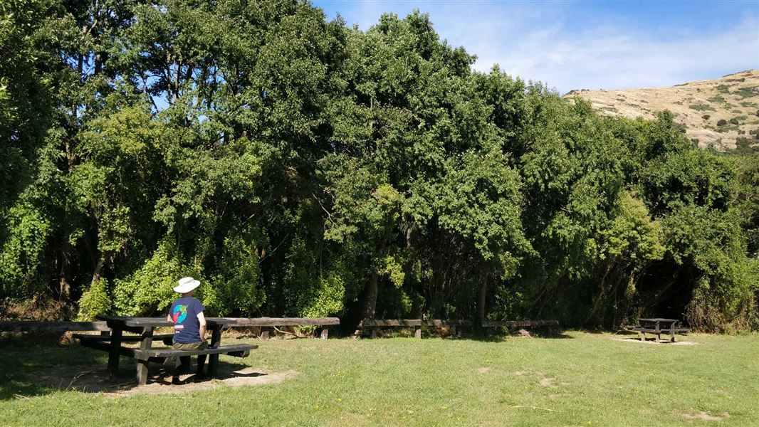
Kaituna Valley Scenic Reserve walk
Easy • 10 minutes return • 3.13 km away
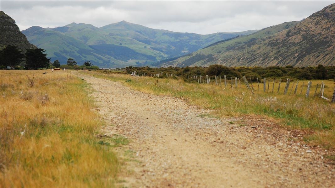
Christchurch to Little River Rail Trail
Easy • 20 km • 9.1 km away
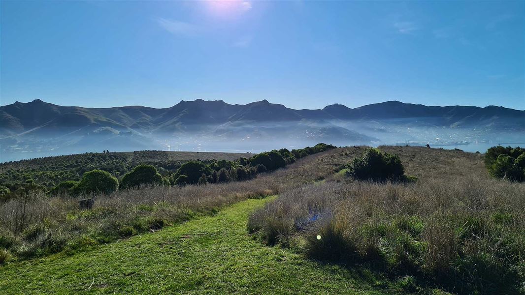
Ōtamahua/Quail Island tracks
Easy • 2 hr 30 min for complete island circuit • 4.5 km • 9.69 km away
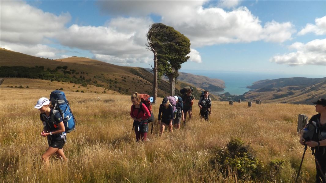
Rod Donald Hut to The Hilltop
Intermediate • 6 hr • 14.3 km • 12.6 km away
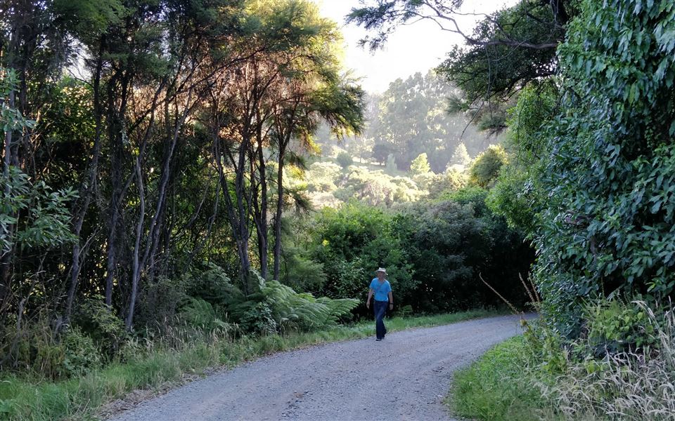
Okuti Valley Scenic Reserve walk
Easiest • 20 min return • 600 m • 13.45 km away
Notes from people who have been
No notes yet. If you have been, say what you found.
Something missing or out of date?
Closed, moved, wrong facts, or something we have missed? Travellers keep the Road Guide up to date. Tell us what you found at contribute@parkup.nz and we will check it and add it.
Ask us to take this down
A person reads every request. We do not remove a place until we have checked it.
Sources
- DOC Tracks (API) · CC BY 4.0Crown Copyright: Department of Conservation Te Papa Atawhai. Data sourced from the DOC Developer Portal (api.doc.govt.nz).
- DOC Tracks & Trails · CC BY 4.0Data sourced from the Department of Conservation (DOC), New Zealand.