Waihora Park Domain
CampsiteCanterbury
- Drinking water
- Safe to drink
Map
Map data © OpenStreetMap contributors. Topo map: LINZ, CC BY 4.0. 43.72834° S, 172.58487° E
Got a good photo of this place? Send it to us and we will show it with your name.
Nearby stops

Packhorse Hut
Serviced • 9 bunks • Canterbury • 9.1 km
Packhorse Hut is a bookable, serviced nine-bunk hut located in the Christchurch and Banks Peninsula area of Canterbury. It is easily accessed from the Kaituna…
Heating • Mattresses • Toilets - non-flush
Orton Bradley Group Campsite
Canterbury • 12.3 km
Orton Bradley Group Campsite is a camping area located in the Canterbury region. The provided data does not list specific facilities or details for this site.
Coes Ford Recreation Reserve
Canterbury • 14.2 km

Ōtamahua Hut
Serviced • 12 bunks • Canterbury • 14.3 km
Ōtamahua Hut is a bookable, serviced hut with 12 bunks located on Ōtamahua/Quail Island in Canterbury.
Heating • Toilets - flush • Water from tap - treated
Monument Shelter Hut
Canterbury • 16.3 km
Walks nearby
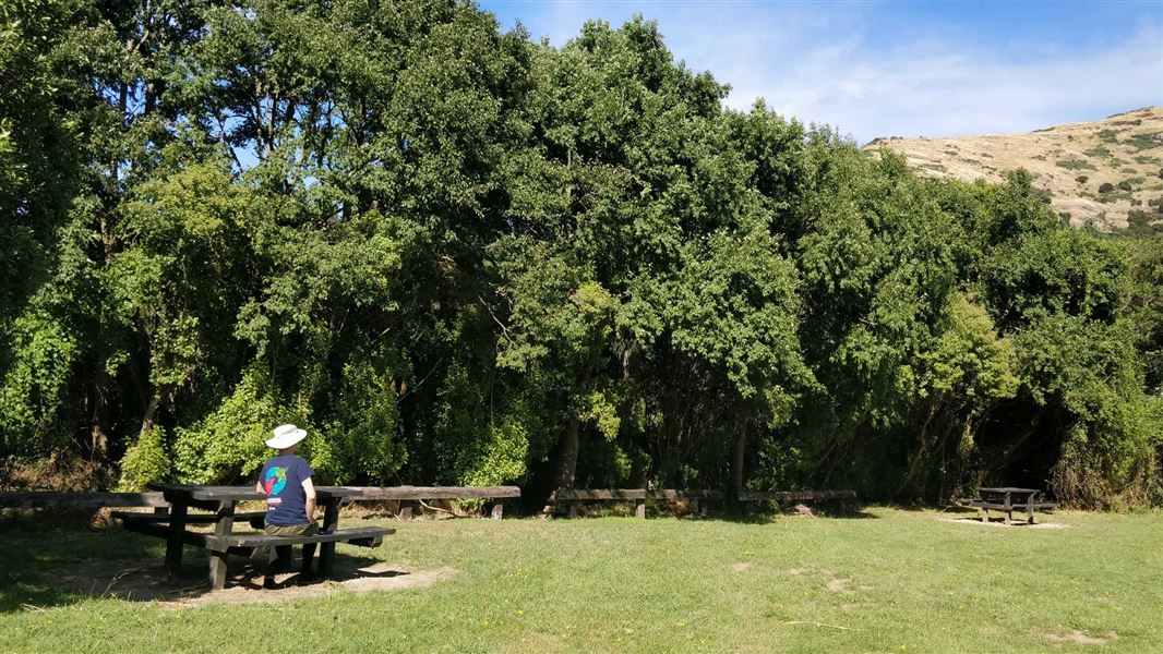
Kaituna Valley Scenic Reserve walk
Easy • 10 minutes return • 8.39 km away
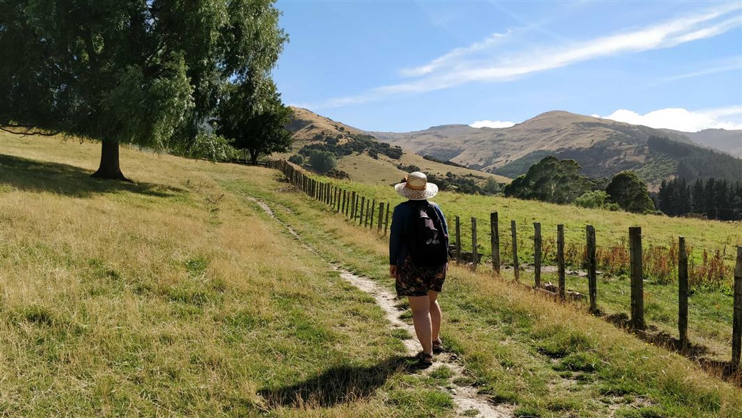
Kaituna Valley Packhorse Hut Track
Intermediate • 1 hr 20 min • 4 km • 8.91 km away
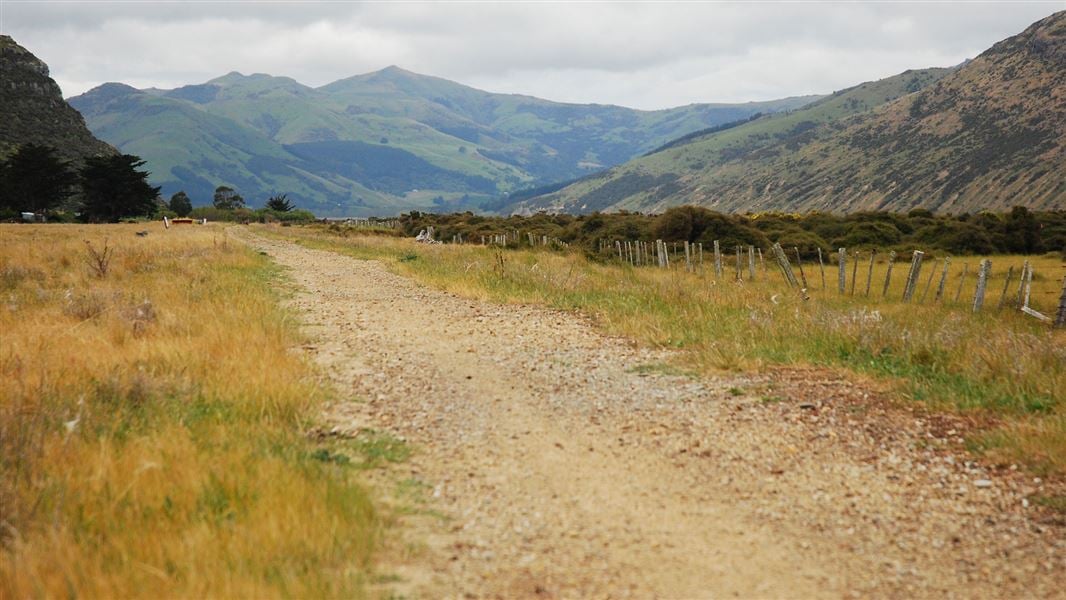
Christchurch to Little River Rail Trail
Easy • 20 km • 9.72 km away
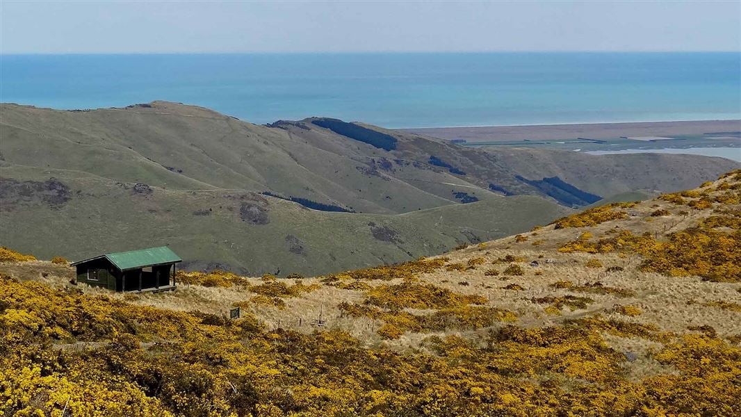
Mount Herbert Walkway/Te Ahu Pātiki
Advanced • 6 – 8 hr return • 14 km • 14.16 km away
Ōtamahua/Quail Island tracks
Easy • 2 hr 30 min for complete island circuit • 4.5 km • 14.28 km away
Notes from people who have been
No notes yet. If you have been, say what you found.
Something missing or out of date?
Closed, moved, wrong facts, or something we have missed? Travellers keep the Road Guide up to date. Tell us what you found at contribute@parkup.nz and we will check it and add it.
Ask us to take this down
A person reads every request. We do not remove a place until we have checked it.
Sources
- OpenStreetMap Campsites · ODbL (Open Database License)Contains information from OpenStreetMap, made available under the ODbL.