Ōtamahua/Quail Island tracks
WalkCanterbury
- Grade
- Easy
- Walking time
- 2 hr 30 min
- Distance
- 4.5 km
- Dogs
- No dogs
Getting there
We have not checked a road end or car park for this place yet, so we do not give driving directions to it. Check how to get there before you go. Some routes cross private land and need the landowner's permission.
How to get there, on doc.govt.nzŌtamahua/Quail Island lies within Whakaraupō/Lyttelton Harbour, close to Christchurch City.
There is a regular ferry service from Lyttelton Wharf. Ensure you know when the last ferry leaves Quail Island to get back to Lyttelton. Black Cat Cruises schedule and fees.
Alternatively, you can make your own way to the Island by canoe, kayak or private boat.
Whakamaru (Swimmers) beach, Skiers Beach or Walkers Beach are the recommended places to land/launch canoes or kayaks. There is also plenty of room to pull up a boat. Care is required as these areas will be shallow or mud flats at low tide. The majority of the island’s coast is unsuitable for landings. Check the weather forecast before you leave for the island.
The wharf is not suitable for overnight mooring.
Source: DOC Te Papa Atawhai.
Map
Map data © OpenStreetMap contributors. Topo map: LINZ, CC BY 4.0. 43.62869° S, 172.69686° E
About this place
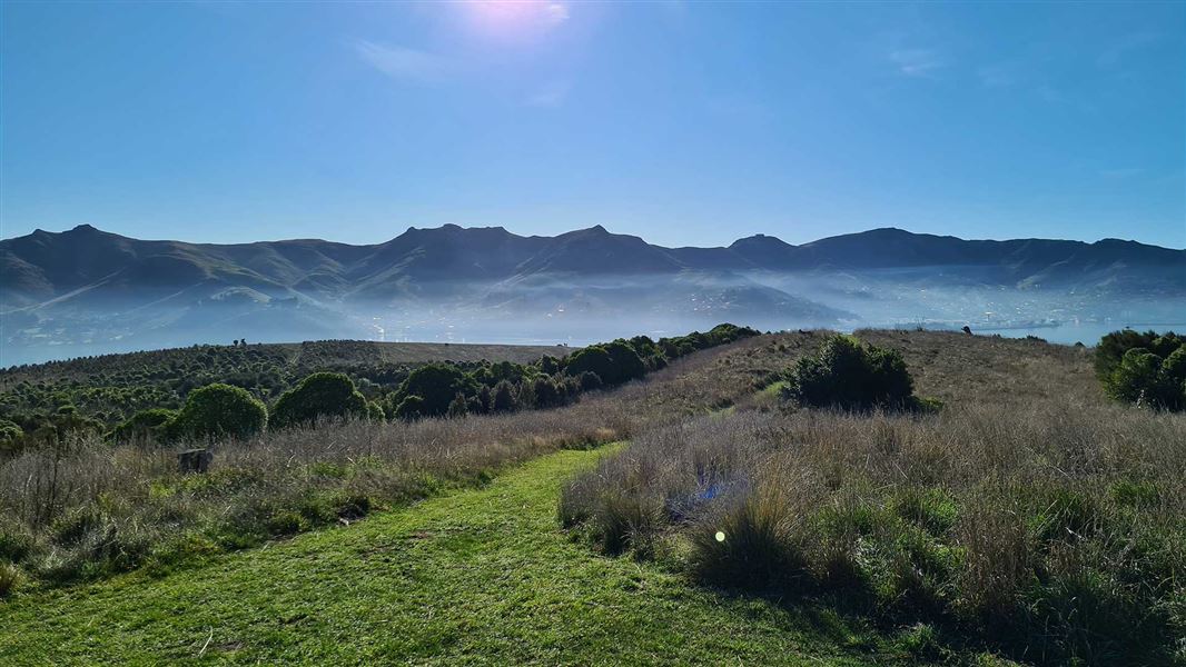
The beautiful and pest free Ōtamahua is home to historic sites such as the ship’s graveyard and the quarantine barracks. It has swimming and waterskiing beaches and a bird-watching barricade.
The route
All walks start from the main ferry jetty.
Ōtamahua/Quail Island Loop Track (full island circuit)
Time: 2 hr 30 min loop
4.5 km loop This walk around the island passes the front of the Ōtamahua Hut, through open grassland and along the basalt cliffs to the Ward brothers’ old cottage site. From here it leads to the northern point of the island and the bird observation barricade. Views extend down the harbour and across to Rapaki. Turn south-west and skirt the stock dam to reach a vantage point for an excellent view of the ships’ graveyard, which contains wrecks of at least 14 scuttled ships offshore. Continue along to the southern-most point of the island above Walkers Beach and past the quarry workings. The grave of Ivon Skelton, one of the leprosy sufferers that died on the island, is found here. Around the point the track turns north to the terraces behind the skiers’ beach where the leprosy colony buildings once stood. View the replica cottage (built by students of Catholic Cathedral College) and walk past the stone terraces, admiring the craftsmanship of early 20th century prisoners from Lyttelton Jail. Turn left to climb a short distance to the dog kennels site; a replica of these has also been built by the students. Return to the main track on the same path back down towards Whakamaru Beach and continue to the quarantine barracks. Walk around the beachfront, past the remains of the historic stock jetty and back to the ferry jetty.
Whakamaru Beach (Swimmers beach)
Time: 5 min one way
m one way Although the track from the ferry jetty is a bit steep, it’s worth the climb down to the beach, and the track surface is suitable for baby buggies. The beach is a safe place for swimming and the bay is reasonably sheltered. It is a great spot to pause, have a picnic lunch, fossick among the rocks or beach-comb for shells and seaweed to decorate a sand sculpture.
Summit Track
Time: 15 min one way Distance 700 m from Ōtamahua Hut
From the Ōtamahua Hut, walk the old tractor path as it gently climbs towards the highest point on the island. You will pass through a large area of replanting, the work of the Quail Island Ecological Restoration Trust. At the summit, enjoy panoramic views of the surrounding low mountains and Lyttelton Harbour. The Summit Track can also be reached from Whakamaru Beach via the Dog Kennel Track.
Dog Kennel Track
Time: 10 min one way
m from Whakamaru Beach This track gives access to the replica dog kennels historic site, and is also a shortcut across the island.
Source: DOC Te Papa Atawhai.
Know before you go
Ōtamahua/Quail Island is at times subject to extreme fire danger
If fire breaks out on the Island: head to the nearest beach or coastal area, if it is safe to do so. if you have a mobile, dial 111 for fire.
Look after the island
No open fires No animals, including dogs No unauthorised vehicles, including mountain bikes No firearms No drones All wildlife, plants, and natural and historic features are protected. Be respectful and keep to the tracks. Take home all your rubbish. Bait stations and predator traps are in use at all time. Read the warning signs on the wharf and around the Island.
Protect our wildlife
Check - your gear for pests, eg rodents, insects, skinks. Clean - footwear and gear, removing soil and seeds.
Source: DOC Te Papa Atawhai.
Nearby stops
Naval Point Freedom Camping Area
Canterbury • 2.1 km
Orton Bradley Group Campsite
Canterbury • 3.7 km
Orton Bradley Group Campsite is a camping area located in the Canterbury region. The provided data does not list specific facilities or details for this site.
Purau Restricted Area
Canterbury • 4.5 km
Monument Shelter Hut
Canterbury • 7.7 km

Packhorse Hut
Serviced • 9 bunks • Canterbury • 8.2 km
Packhorse Hut is a bookable, serviced nine-bunk hut located in the Christchurch and Banks Peninsula area of Canterbury. It is easily accessed from the Kaituna…
Heating • Mattresses • Toilets - non-flush
Walks nearby
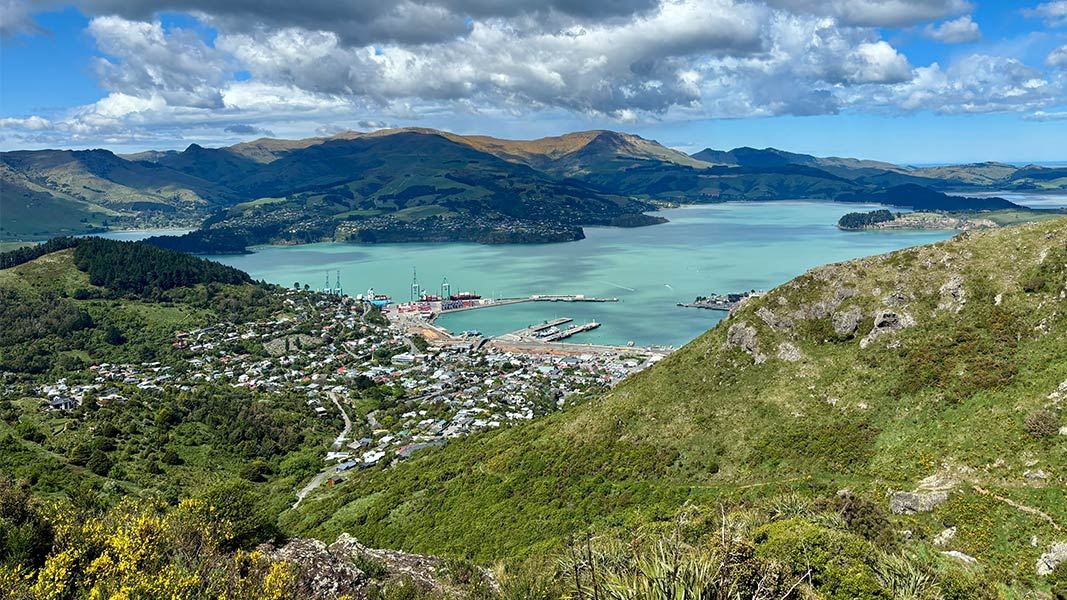
Major Hornbrook Track
Easiest • 1 hr • 1 km • 4.48 km away
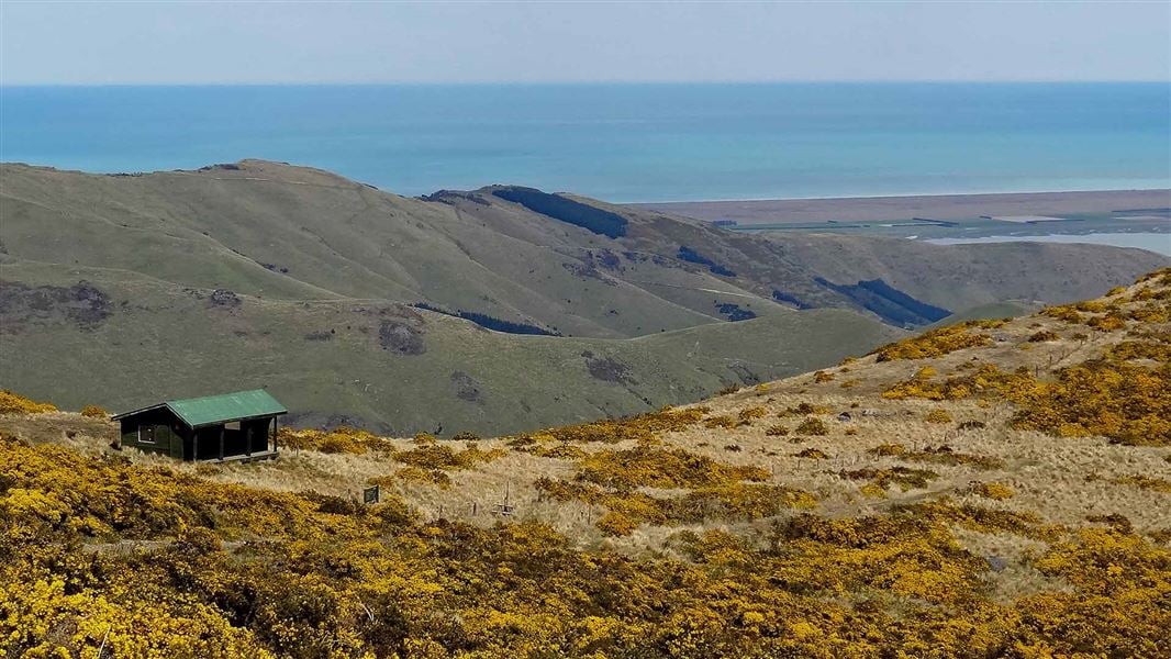
Mount Herbert Walkway/Te Ahu Pātiki
Advanced • 6 – 8 hr return • 14 km • 4.85 km away
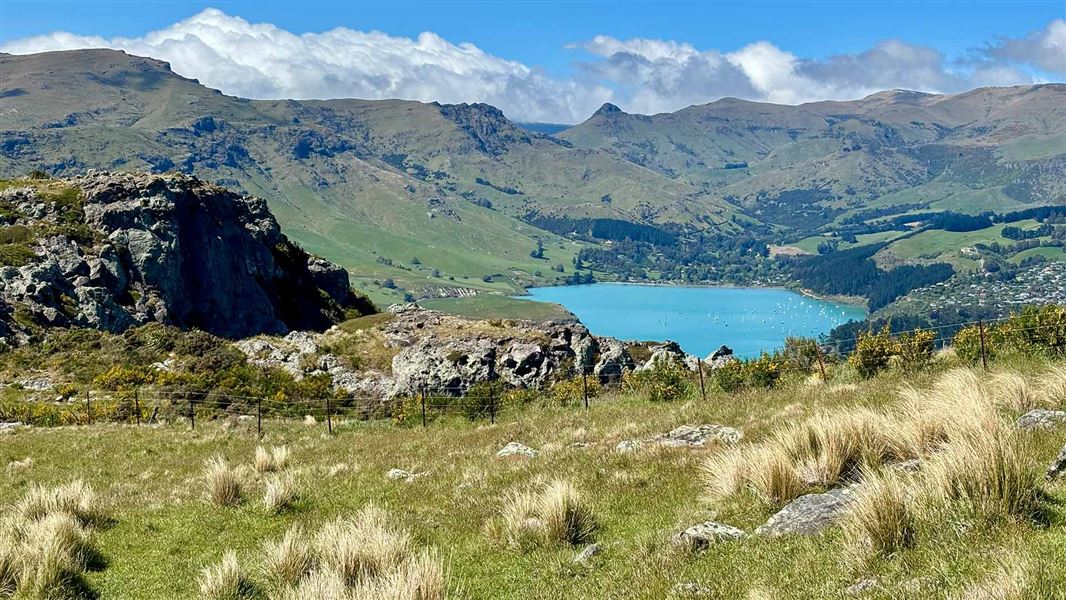
Mount Pleasant Track
Easiest • 35 minutes • 1.1 km • 4.85 km away
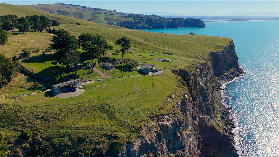
Awaroa/Godley Head Loop Track
Easy • 3 hr loop • 9.3 km • 8.92 km away
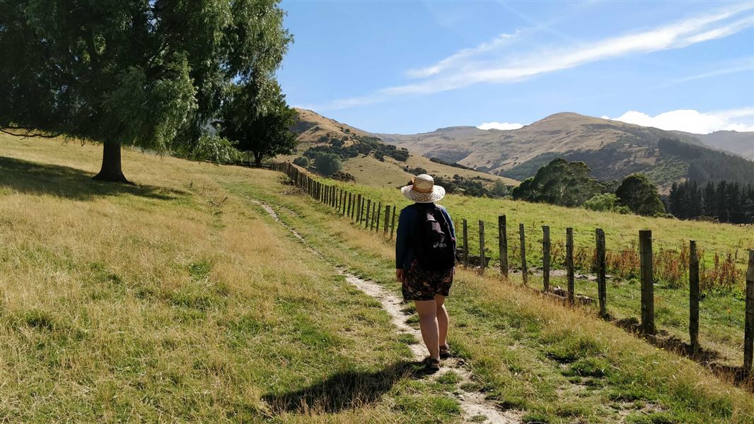
Kaituna Valley Packhorse Hut Track
Intermediate • 1 hr 20 min • 4 km • 9.69 km away
Notes from people who have been
No notes yet. If you have been, say what you found.
Something missing or out of date?
Closed, moved, wrong facts, or something we have missed? Travellers keep the Road Guide up to date. Tell us what you found at contribute@parkup.nz and we will check it and add it.
Ask us to take this down
A person reads every request. We do not remove a place until we have checked it.
Sources
- DOC Tracks (API) · CC BY 4.0Crown Copyright: Department of Conservation Te Papa Atawhai. Data sourced from the DOC Developer Portal (api.doc.govt.nz).