Major Hornbrook Track
WalkCanterburyOpen
- Grade
- Easiest
- Walking time
- 1 hr
- Distance
- 1 km
- Route
- Return
- Dogs
- On a lead
Getting there
We have not checked a road end or car park for this place yet, so we do not give driving directions to it. Check how to get there before you go. Some routes cross private land and need the landowner's permission.
How to get there, on doc.govt.nzFrom Christchurch, you can drive or take a city bus to Lyttelton. There is also a bus stop near the base station of the gondola.
Walk or drive up Canterbury Street in Lyttelton to the end, then turn left. Follow Somes Road as it crosses Cornwall Road to the parking bay on Ross Terrace and the start of the track.
The parking bay is small, you may want to park on a street lower down
Source: DOC Te Papa Atawhai.
Map
Map data © OpenStreetMap contributors. Topo map: LINZ, CC BY 4.0. 43.59215° S, 172.72045° E
About this place
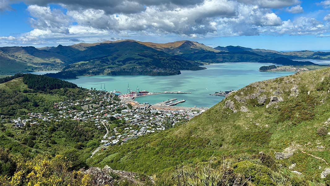
Enjoy sweeping views back down into Lyttelton Harbour and across to Banks Peninsula and a good day you can see Canterbury Plains to the Kaikoura ranges to the north.
The route
Start: Ross Terrace, Lyttelton Finish: Mt Pleasant Saddle This track is a one-hour return walk. For a longer walk it can be combined with the Bridle Path to create an interesting two-hour loop return with great views over Lyttelton Harbour and the Canterbury Plains. It's suitable for people of moderate fitness but should not be attempted in bad weather as it is quite exposed. From Lyttelton, the track starts high up on Ross Terrace, where there is a small parking and turning bay. Heading up through the regenerating bush of the Major Hornbrook Reserve, featuring some original vegetation of the Lyttelton basin, the track soon enters the more open Lyttelton Scenic Reserve. Winding up through a boulder field and climbing up under rocky bluffs, there are spectacular views across the valley to the Mount Pleasant Scenic Reserve. The track tops out at the tussock covered Mt Pleasant Saddle, at a height of 396 metres, with easy access to the Summit Road. From here there are sweeping views back down into Lyttelton Harbour and across to Banks Peninsula. On the other side, on a clear day, you can look out over the Canterbury Plains to the Kaikoura ranges to the north and down to the Heathcote Valley below. From the saddle, walkers can retrace their steps back to Lyttelton or continue exploring the City Council's network of tracks, including the Crater Rim Walkway. The nearby gondola station offers toilets, refreshments and a quick ride down the hill to Heathcote. If followed west, the walkway links with the Bridle Path, which offers an alternative route back to Lyttelton, or on the other side down to the Heathcote Valley and the base of the gondola.
Source: DOC Te Papa Atawhai.
Nearby stops
Naval Point Freedom Camping Area
Canterbury • 2.3 km

Ōtamahua Hut
Serviced • 12 bunks • Canterbury • 4.5 km
Ōtamahua Hut is a bookable, serviced hut with 12 bunks located on Ōtamahua/Quail Island in Canterbury.
Heating • Toilets - flush • Water from tap - treated
Christchurch Kiwi Holiday Park and Motels
Canterbury • 5.8 km
Christchurch Kiwi Holiday Park and Motels is a campsite located in the Canterbury region. It offers accommodation options for visitors staying in the area.
Purau Restricted Area
Canterbury • 5.8 km
South New Brighton Holiday Park
Canterbury • 6.5 km
South New Brighton Holiday Park is a campsite located in the Canterbury region. It offers accommodation for visitors in the South New Brighton area.
Walks nearby
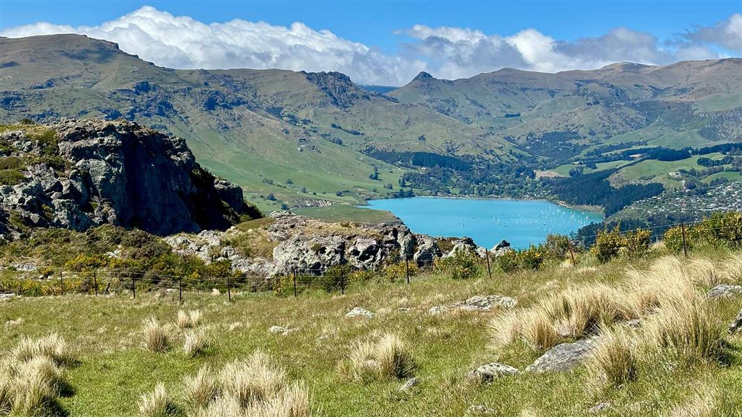
Mount Pleasant Track
Easiest • 35 minutes • 1.1 km • 1.63 km away
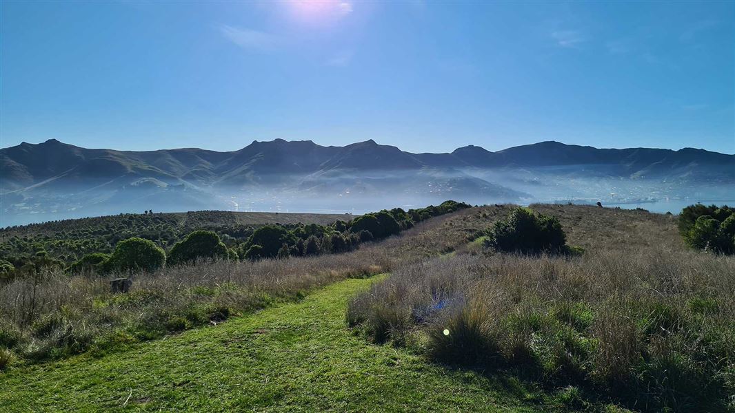
Ōtamahua/Quail Island tracks
Easy • 2 hr 30 min for complete island circuit • 4.5 km • 4.48 km away
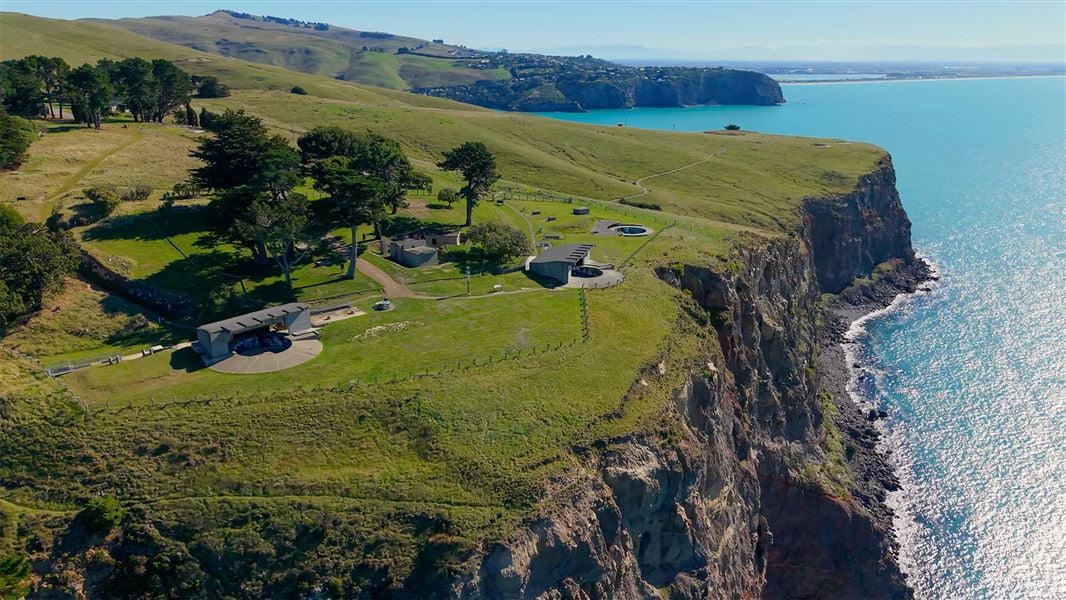
Awaroa/Godley Head Loop Track
Easy • 3 hr loop • 9.3 km • 5.96 km away
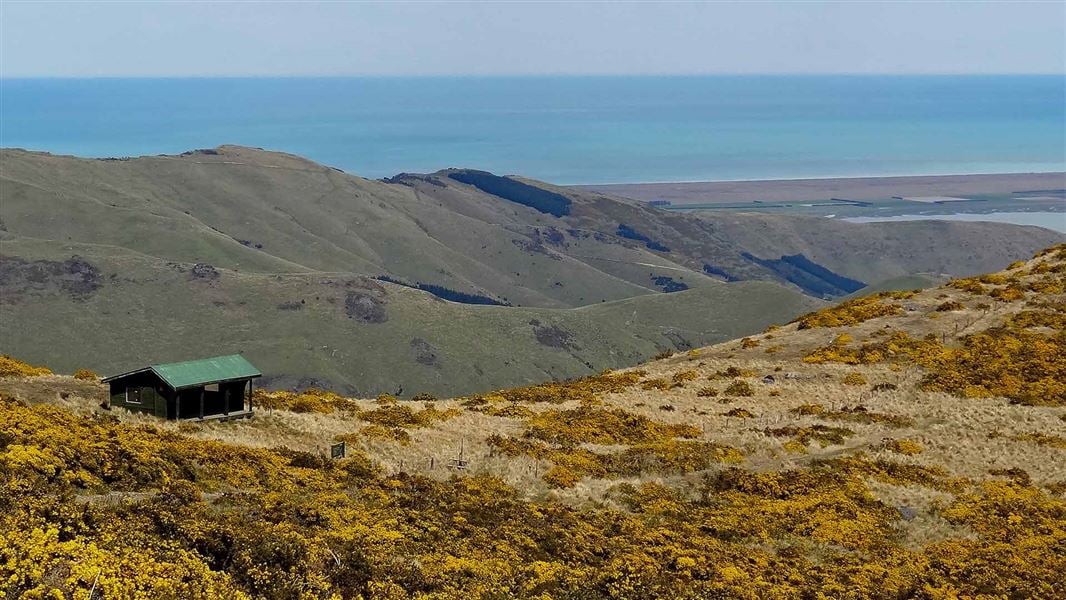
Mount Herbert Walkway/Te Ahu Pātiki
Advanced • 6 – 8 hr return • 14 km • 7.89 km away
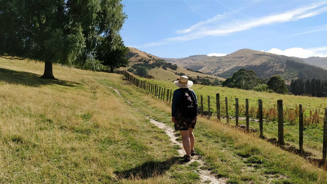
Kaituna Valley Packhorse Hut Track
Intermediate • 1 hr 20 min • 4 km • 13.91 km away
Notes from people who have been
No notes yet. If you have been, say what you found.
Something missing or out of date?
Closed, moved, wrong facts, or something we have missed? Travellers keep the Road Guide up to date. Tell us what you found at contribute@parkup.nz and we will check it and add it.
Ask us to take this down
A person reads every request. We do not remove a place until we have checked it.
Sources
- DOC Tracks & Trails · CC BY 4.0Data sourced from the Department of Conservation (DOC), New Zealand.
- DOC Tracks (API) · CC BY 4.0Crown Copyright: Department of Conservation Te Papa Atawhai. Data sourced from the DOC Developer Portal (api.doc.govt.nz).