Rod Donald Hut to The Hilltop
WalkCanterbury
- Grade
- Intermediate
- Walking time
- 6 hr
- Distance
- 14.3 km
- Dogs
- No dogs
Getting there
We have not checked a road end or car park for this place yet, so we do not give driving directions to it. Check how to get there before you go. Some routes cross private land and need the landowner's permission.
How to get there, on doc.govt.nzThe track starts from the track to Rod Donald Hut. It ends at Summit Road, Walk along the other side of the road for about 100 m, then go over the stile to walk across the paddock to The Hilltop.
Source: DOC Te Papa Atawhai.
Map
Map data © OpenStreetMap contributors. Topo map: LINZ, CC BY 4.0. 43.71629° S, 172.85112° E
About this place
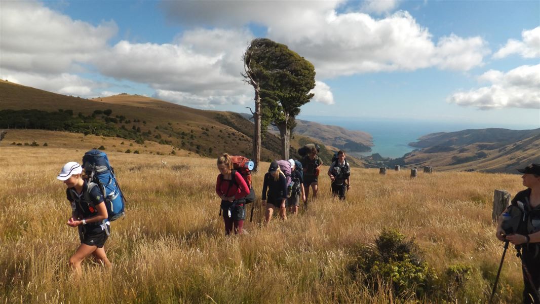
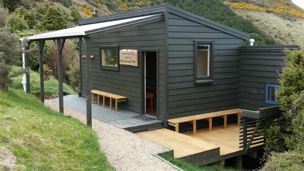
Walk or mountain bike the track from Rod Donald Hut to The Hilltop. Walkers will pass through Montgomery Park Scenic Reserve.
The route
This track is part of the Te Ara Pātaka/Summit Walkway . From Rod Donald Hut, climb back up the access track to reach Waipuna Saddle. Then head east following the marked farm track through the tōtara graveyard, pasture and several DOC reserves. Mountain bikers leave the main track briefly to by pass the narrow rocky track through Mount Fitzgerald, and take an easier farm track. Soon after the Whatarangi Totara Scenic Reserve, the track diverges again. Walkers should head up to Montgomery Park Scenic Reserve and walk directly to The Hilltop. The reserve track is steep and rocky, so take care and enjoy the beautiful forest including a giant tōtara, thought to be up to 2,000 years old. The track emerges from the reserve onto Summit Road. Keep children close and take extreme care to look and listen for vehicles as you cross the road. Mountain bikes are not permitted in Montgomery Park Scenic Reserve, so follow the farm track to Pettigrews Road; turn right at the end to reach the Summit Road, and right again to ride along the Summit Road.
Source: DOC Te Papa Atawhai.
Nearby stops
Pigeon Bay Camping Ground
Canterbury • 5.4 km
Pigeon Bay Camping Ground is a campsite located in the Canterbury region of New Zealand. The provided data does not list specific facilities or amenities for…
Little River Restricted Area
Canterbury • 6.9 km
Little River Campground
Canterbury • 7.9 km
Monument Shelter Hut
Canterbury • 8.1 km
Okuti Garden
Canterbury • 8.3 km
Okuti Garden is a campsite located in the Canterbury region. The provided data does not list specific facilities or amenities for this site.
Walks nearby
Hay Scenic Reserve walk
Easiest • 30 min • 900 m • 4.01 km away
Te Ara Pātaka/Summit Walkway
Intermediate • 2-3 days • 35 km • 5.66 km away
Okuti Valley Scenic Reserve walk
Easiest • 20 min return • 600 m • 7.73 km away
Saddle Hill Summit Track
Easy • 90 mins • 1.6 km • 9.81 km away
Mount Herbert Walkway/Te Ahu Pātiki
Advanced • 6 – 8 hr return • 14 km • 11.07 km away
Notes from people who have been
No notes yet. If you have been, say what you found.
Something missing or out of date?
Closed, moved, wrong facts, or something we have missed? Travellers keep the Road Guide up to date. Tell us what you found at contribute@parkup.nz and we will check it and add it.
Ask us to take this down
A person reads every request. We do not remove a place until we have checked it.
Sources
- DOC Tracks (API) · CC BY 4.0Crown Copyright: Department of Conservation Te Papa Atawhai. Data sourced from the DOC Developer Portal (api.doc.govt.nz).