Saddle Hill Summit Track
WalkCanterburyOpen
- Grade
- Easy
- Walking time
- 1 hr 30 min
- Distance
- 1.6 km
- Route
- Return
- Dogs
- Under control
Getting there
We have not checked a road end or car park for this place yet, so we do not give driving directions to it. Check how to get there before you go. Some routes cross private land and need the landowner's permission.
How to get there, on doc.govt.nzLocation: GPS coordinates -43.808462, 172.843901
Capacity: Five cars.
Source: DOC Te Papa Atawhai.
Map
Map data © OpenStreetMap contributors. Topo map: LINZ, CC BY 4.0. 43.80445° S, 172.85433° E
About this place
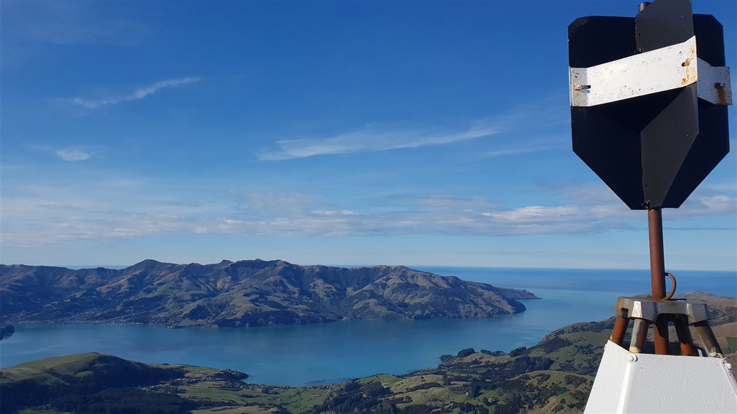
This family-friendly walk has stunning views of Akaroa Harbour, Kaitorete, and the peaks of Banks Peninsula to the South Alps.
The route
From the track car park and entrance on Bossu Road climb over the fence stile by the old sheep yards. From there follow the track and markers up a short climb over rolling tussock slopes. The track soon levels out and leads around a basin where you can look down on regenerating bush and the popular climbing routes on Coffin Rock. Continue along the track as it climbs to the trig station and enjoy stunning views over Akaroa Harbour. The summit of the track offers an amazing view looking back on the Southern Alps and the unique landforms of Te Waihora and Kaitorete.
Source: DOC Te Papa Atawhai.
Nearby stops
Little River Campground
Canterbury • 2.9 km
Okuti Garden
Canterbury • 3.3 km
Okuti Garden is a campsite located in the Canterbury region. The provided data does not list specific facilities or amenities for this site.
YMCA Campground
Canterbury • 3.3 km
The YMCA Campground is a campsite located in the Canterbury region. The provided records do not include specific details about its facilities or amenities.
Little River Restricted Area
Canterbury • 6.5 km
Duvauchelle Restricted Area
Canterbury • 8.8 km
Walks nearby
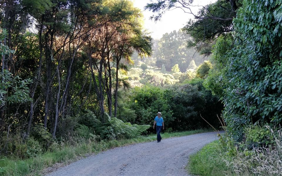
Okuti Valley Scenic Reserve walk
Easiest • 20 min return • 600 m • 2.85 km away
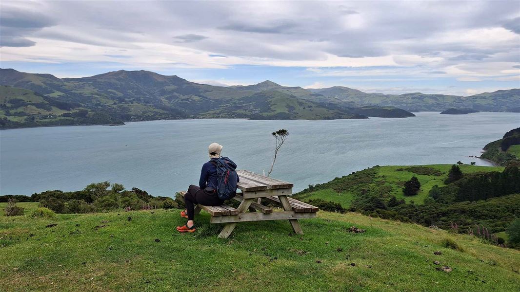
Nīkau Palm Gully Scenic Reserve walk
Advanced • 3-4 hr return • 10 km • 9.62 km away
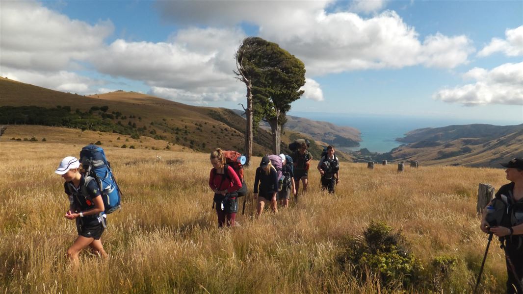
Rod Donald Hut to The Hilltop
Intermediate • 6 hr • 14.3 km • 9.81 km away
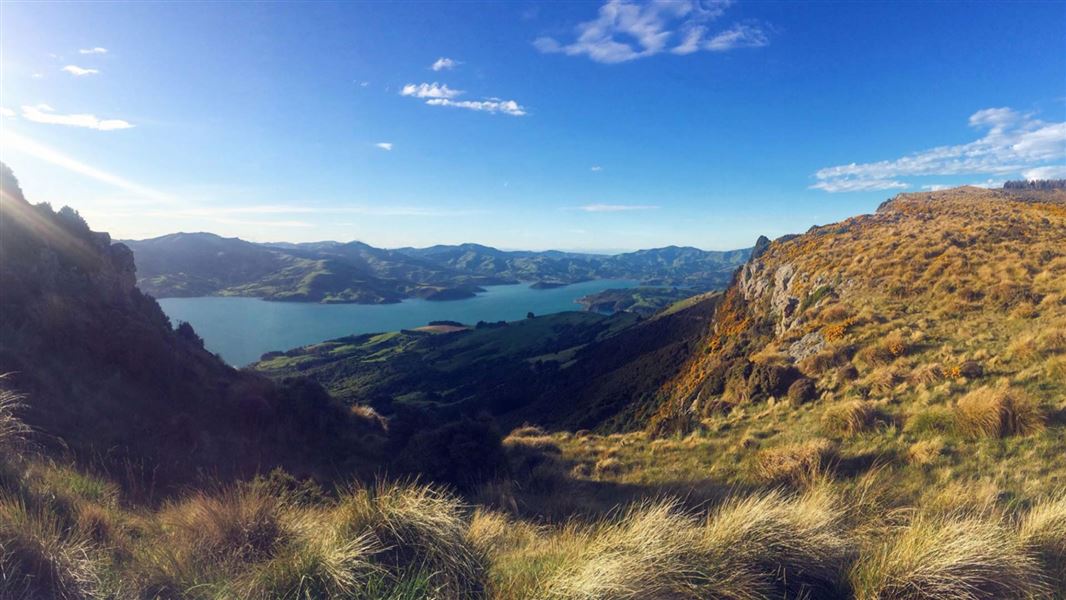
Tutakakahikura Scenic Reserve Track
Advanced • 1 hr return • 1.6 km • 11.52 km away
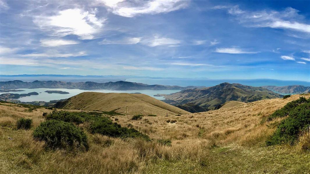
Te Ara Pātaka/Summit Walkway
Intermediate • 2-3 days • 35 km • 11.65 km away
Notes from people who have been
No notes yet. If you have been, say what you found.
Something missing or out of date?
Closed, moved, wrong facts, or something we have missed? Travellers keep the Road Guide up to date. Tell us what you found at contribute@parkup.nz and we will check it and add it.
Ask us to take this down
A person reads every request. We do not remove a place until we have checked it.
Sources
- DOC Tracks (API) · CC BY 4.0Crown Copyright: Department of Conservation Te Papa Atawhai. Data sourced from the DOC Developer Portal (api.doc.govt.nz).
- DOC Tracks & Trails · CC BY 4.0Data sourced from the Department of Conservation (DOC), New Zealand.