Nīkau Palm Gully Scenic Reserve walk
WalkCanterbury
- Grade
- Advanced
- Walking time
- 4 hr
- Distance
- 10 km
- Dogs
- No dogs
Getting there
We have not checked a road end or car park for this place yet, so we do not give driving directions to it. Check how to get there before you go. Some routes cross private land and need the landowner's permission.
How to get there, on doc.govt.nzFrom Akaroa, travel 4 km on Onuku Road. Continue past Ōnuku Marae then turn right onto Hamiltons Road.
Park in the small carpark on the left by the DOC sign. From the carpark, walk up the road past buildings to the start of the track. Leave the gates as you find them.
Source: DOC Te Papa Atawhai.
Map
Map data © OpenStreetMap contributors. Topo map: LINZ, CC BY 4.0. 43.85953° S, 172.94681° E
About this place
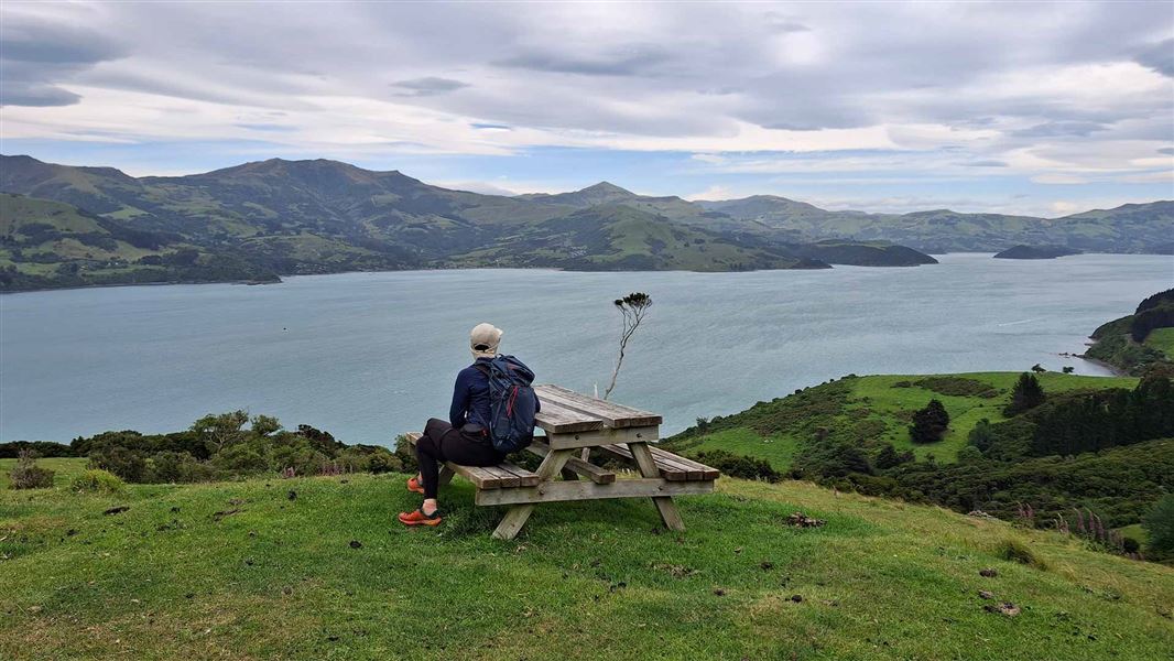
Walk high above the coastline and enjoy great views over the Akaroa Marine Reserve.
The route
Follow the farm track for about 3 km to the boundary of the Nīkau Palm Gully Scenic Reserve. Leave all gates as you found them. The track rises and falls gently, offering broad views over Akaroa Harbour as it winds in and out of several headlands and areas of kānuka forest. After 2 km inside the scenic reserve, the track comes to an end at a sign and fence. There is no access into the Nīkau Palm Gully itself due to significant rockfall hazards. Please respect this closure. Return via the same route.
Crossing private land
To reach Nīkau Palm Gully you must cross private land. Follow all signage and keep to the track. The track goes through an active farm so be aware of stock such as sheep and cows. Respect the closure dates of 1 May to 30 September.
Source: DOC Te Papa Atawhai.
Know before you go
Take care near stinging nettle
Urtica ferox (ongaonga) is an endemic stinging nettle and common in this area. Take care not to touch these plants as they have a very strong sting. Ongaonga are an important host plant of Vanessa gonerilla (kahukura), the endemic red admiral butterfly.
Source: DOC Te Papa Atawhai.
Nearby stops
Skytrack
Canterbury • 1.7 km
Skytrack is a hut located in the Canterbury region. No further details are available in the provided records.
Purple Peak Shelter
Canterbury • 6.7 km
Akaroa Freedom Camping Area
Canterbury • 6.8 km
YMCA Campground
Canterbury • 6.9 km
The YMCA Campground is a campsite located in the Canterbury region. The provided records do not include specific details about its facilities or amenities.
Takamatua Restricted Area
Canterbury • 8.7 km
Walks nearby
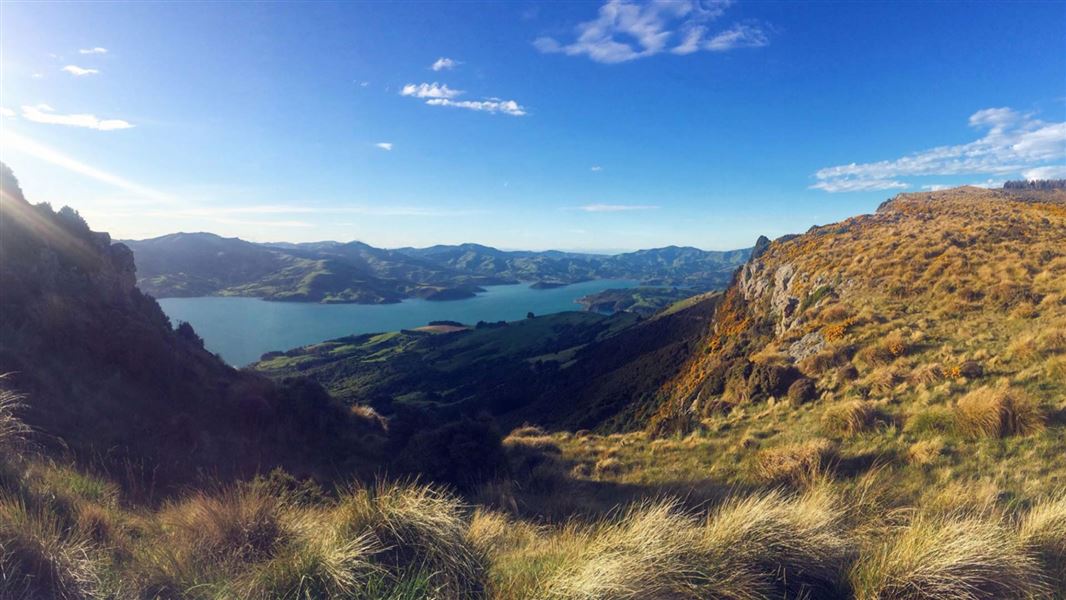
Tutakakahikura Scenic Reserve Track
Advanced • 1 hr return • 1.6 km • 3.17 km away
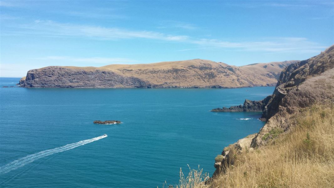
Akaroa Head Scenic Reserve walk
Easy • 40 min return • 1 km • 4.07 km away
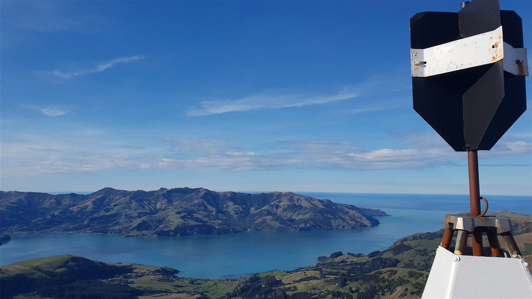
Saddle Hill Summit Track
Easy • 90 mins • 1.6 km • 9.62 km away
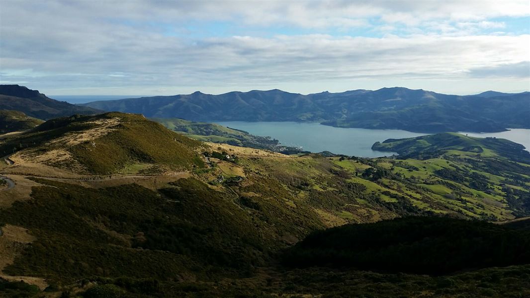
Ellangowan Scenic Reserve Track
Intermediate • 40 min return • 2.4 km return • 9.69 km away
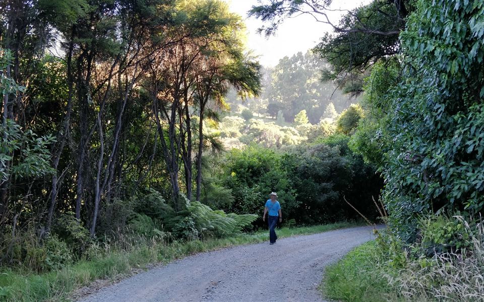
Okuti Valley Scenic Reserve walk
Easiest • 20 min return • 600 m • 12.42 km away
Notes from people who have been
No notes yet. If you have been, say what you found.
Something missing or out of date?
Closed, moved, wrong facts, or something we have missed? Travellers keep the Road Guide up to date. Tell us what you found at contribute@parkup.nz and we will check it and add it.
Ask us to take this down
A person reads every request. We do not remove a place until we have checked it.
Sources
- DOC Tracks (API) · CC BY 4.0Crown Copyright: Department of Conservation Te Papa Atawhai. Data sourced from the DOC Developer Portal (api.doc.govt.nz).