Carroll Hut
Standard hutArthur's Pass National Park, West CoastOpen
- Sleeps
- 10 bunks
- Booking
- Not bookable
- Cost
- from $15
- Heating
- None
- Drinking water
- Not drinkable
- Toilet
- Non-flush
Getting there
We have not checked a road end or car park for this place yet, so we do not give driving directions to it. Check how to get there before you go. Some routes cross private land and need the landowner's permission.
How to get there, on doc.govt.nz- Topo map
- Topo50 sheet BV20
Source: DOC Te Papa Atawhai.
Map and tracks
Track lines: DOC Te Papa Atawhai. Map data © OpenStreetMap contributors. Topo map: LINZ, CC BY 4.0. 42.79108° S, 171.55264° E
About this place
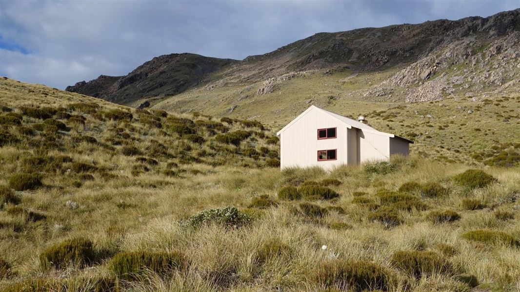
This is a standard 10-bunk hut in the Hokitika area.
On the way here
Carroll Hut Track · 6 hr
The track starts from the gravelled car parking area off of SH73. You will need to cross a creek at the beginning of the track, if it has been raining heavily this may not be possible. The track climbs steeply through rātā/kāmahi forest and subalpine scrub. This leads on to tussock grasslands surrounding Carroll Hut on Kelly Range. On fine days there are good views from the saddle behind the hut, looking down the Taramakau River to the West Coast.
Side trip to Kellys Hill
A side trip to Kellys Hill can give great views out to the Tasman Sea on a fine day. It is an unmarked route from Carroll Hut to Kellys Hill, recommended only for experienced alpine trampers. This route should only be attempted in good weather conditions as you will need good visibility to find your way. Bring navigational equipment with you as conditions can change rapidly.
Harman Pass Route · 3 - 4 days
Alternative route: Seven Mile Creek – SH 73 via Kellys Creek
Time: 6 hr
This is a fine-weather-only alternative. From the hut, walk to Seven Mile Creek. This is the last place for water until the tarns on Kelly Range. Follow the creek bed upstream until the banks draw close together. Orange markers and a sign show the start of the track on the true left. The track passes old mining water races and climbs through forest of twisted rātā for about 600 vertical metres. Once at the bushline you are halfway to the hut and there is still a 300-metre vertical climb to the top of Kelly Range. The superb views above the bushline make the long climb worthwhile. The route across Kelly Range is marked with pole markers, which are easy to find on a clear day, but almost impossible to find in low visibility or snow cover. Carroll Hut is situated in a tussock basin east of the saddle. It does not have any form of heating. From Carroll Hut the track runs directly across the tussock in front of the hut to the lip of the basin. A benched section of track descends by sidling down across steep scrub to the bushline. Once in the bush it drops more steeply and emerges at Kellys Creek, 5 minutes from the main road. Time from Carroll Hut to the road is 1 hour 30 minutes. Note: Parties walking into the Taipo from Kelly Range may have difficulty finding the track in poor visibility. From Carroll Hut the poles go past the tarns on Kelly Saddle and run along the north-western side of Kelly Range above Seven Mile Creek. When you get to the large tarns on Kelly Range, the poled route turns and drops down the spur to the track to Seven Mile Creek. The broken and fault-scarped spur is very confusing to follow down the bush track to Seven Mile Creek. Make sure you find the poles to take you down the correct (lower and most northern) ridge.
Source: DOC Te Papa Atawhai.
Know before you go
Thieves targeting cars at Arthur's Pass
There have been reports of cars being broken into and disabled at track ends. Don't leave valuables in your vehicle. Consider using more public parking sites – ask at the Arthur's Pass Visitor Centre for alternative options. Report any suspicious activity to police on +64 3 363 7400 .
Weather forecast
Carroll Hut weather forecast – NIWA website
Source: DOC Te Papa Atawhai.
Fees and bookings
Before you go, buy Hut Tickets for each night's stay. Put these in the honesty box at the hut. Or buy a Backcountry Hut Pass that gives unlimited use at most Standard and Serviced huts for a 12 month period. Retailers that sell hut tickets and passes
Source: DOC Te Papa Atawhai.
On these tracks
Source: DOC Te Papa Atawhai.
Nearby stops
Dillon Hut
Standard • 10 bunks • West Coast • 5.4 km
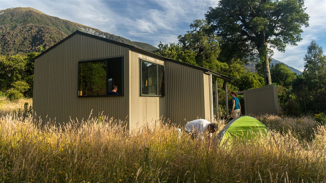
Dillon Hut is a standard 10-bunk hut located in the Hokitika area of the West Coast.
Heating • Mattresses • Toilets - non-flush
Dillons Homestead Hut
Basic/bivvies • 5 bunks • West Coast • 5.5 km
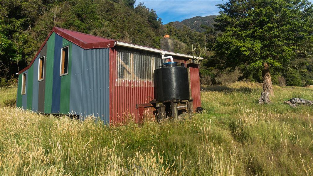
Dillons Homestead Hut is a basic five-bunk hut located in the Hokitika area of the West Coast.
Heating • Mattresses • Toilets - non-flush
Mid Taipo Hut
Standard • 6 bunks • West Coast • 11.1 km
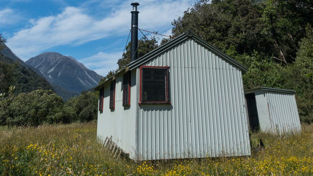
Mid Taipo Hut is a standard six-bunk hut located in the Hokitika area of the West Coast.
Heating • Mattresses • Toilets - non-flush

Julia Hut
Basic/bivvies • 4 bunks • West Coast • 15.8 km
Julia Hut is a standard six-bunk hut located in the Hokitika area of the West Coast.
Heating • Toilets - non-flush • Water from stream
Carrington Hut
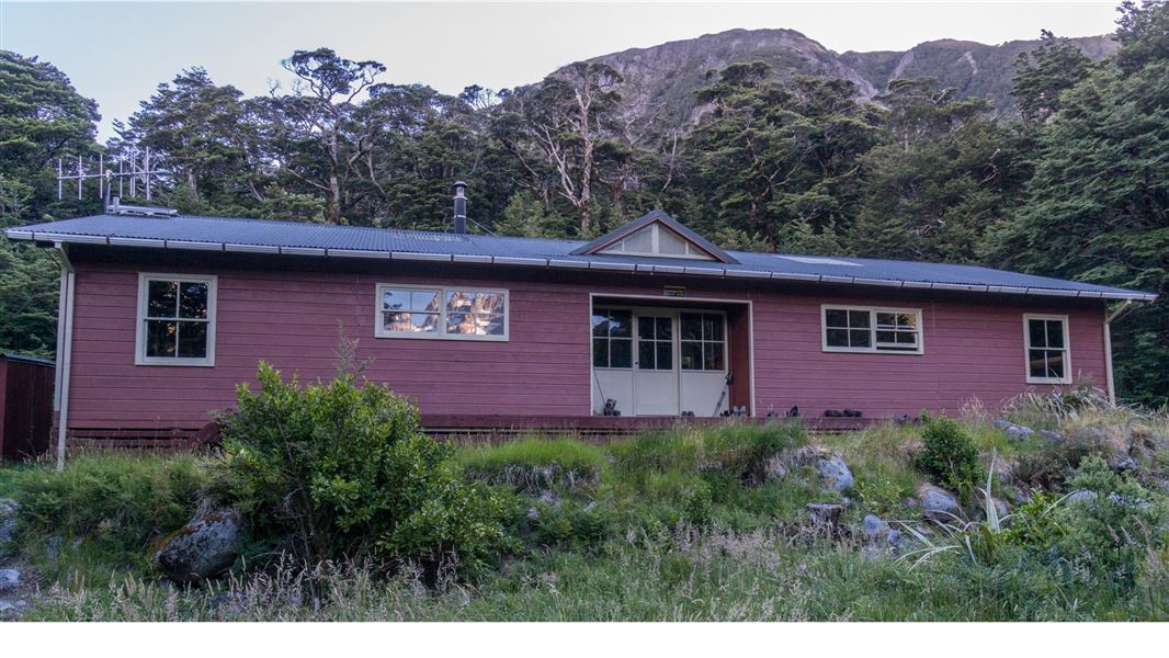
Serviced • 36 bunks • Canterbury • 20.6 km
Carrington Hut is a serviced 36-bunk hut located in the North Canterbury and Arthur's Pass area.
Heating • Mattresses • Toilets - non-flush
Walks nearby
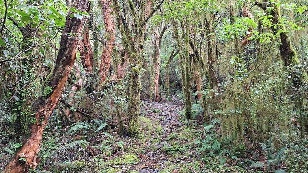
Cockayne Nature Walk
Advanced • 30 min • 850 m • 2 km away
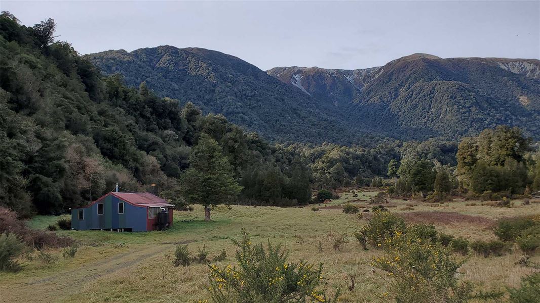
Taipo River Track to Harman Pass
Expert • 2 days • 7.83 km away
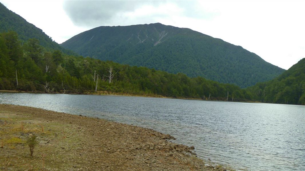
Lake Kaurapataka Route
Expert • 6-7 hr over 1-2 days • 10.58 km away
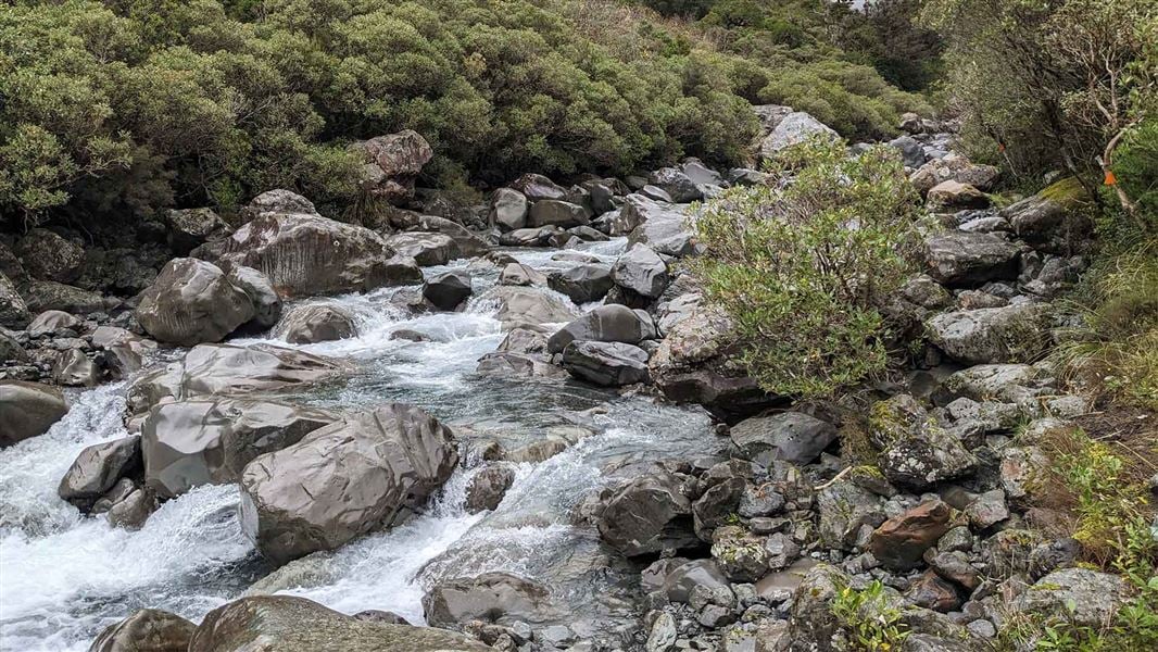
Mingha - Deception Route
Expert • 2 - 3 days • 11.73 km away
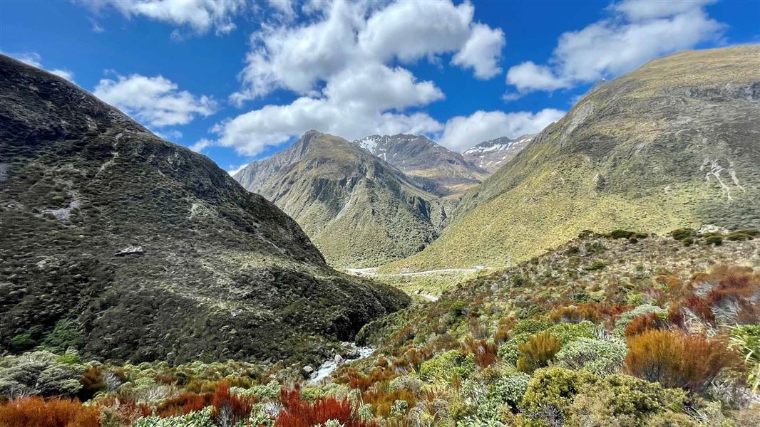
Otira Valley Track
Advanced • 1 hr one way • 1.7 km • 11.94 km away
Contact
Arthur's Pass National Park Visitor Centre
104 West Coast Road, Arthur's Pass 7654
Regional DOC service centre.
Notes from people who have been
No notes yet. If you have been, say what you found.
Something missing or out of date?
Closed, moved, wrong facts, or something we have missed? Travellers keep the Road Guide up to date. Tell us what you found at contribute@parkup.nz and we will check it and add it.
Ask us to take this down
A person reads every request. We do not remove a place until we have checked it.
Sources
- DOC Huts (API) · CC BY 4.0Crown Copyright: Department of Conservation Te Papa Atawhai. Data sourced from the DOC Developer Portal (api.doc.govt.nz).
- DOC Huts · CC BY 4.0Data sourced from the Department of Conservation (DOC), New Zealand.
- OpenStreetMap Huts · ODbL (Open Database License)Contains information from OpenStreetMap, made available under the ODbL.