Carrington Hut
Serviced hutArthur's Pass National Park, CanterburyOpen
- Sleeps
- 36 bunks
- Booking
- Can book
- Cost
- from $10
- Heating
- Yes
- Drinking water
- Boil first
- Toilet
- Non-flush
Getting there
We have not checked a road end or car park for this place yet, so we do not give driving directions to it. Check how to get there before you go. Some routes cross private land and need the landowner's permission.
How to get there, on doc.govt.nz- Topo map
- Topo50 sheet BV20
Source: DOC Te Papa Atawhai.
Map and tracks
Track lines: DOC Te Papa Atawhai. Map data © OpenStreetMap contributors. Topo map: LINZ, CC BY 4.0. 42.95988° S, 171.44834° E
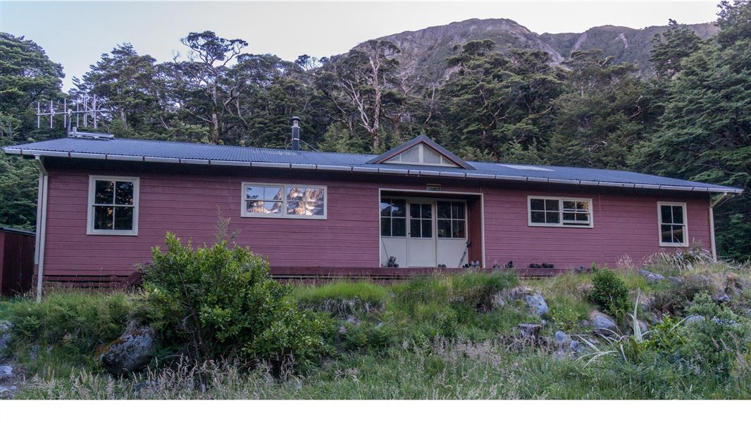
About this place
This is a serviced 36-bunk hut in the North Canterbury and Arthur's Pass area.
On the way here
Harman Pass Route · 3 - 4 days
SH73 – Carrington Hut
Time: 4–5 hr
Refer to the Carrington Hut route guide .
Carrington Hut – Harman Pass
Time: 3 hr one way
From Carrington Hut follow the track to the riverbed of White River. As you walk upstream, look for a place to cross White River to get to Taipoiti River on the opposite bank. The Clough Cableway has been removed, the White River is only crossable in low river flows. If there is snow up the Taipoiti, the route will be difficult. During winter and spring, avalanches can funnel into the gorge over the cliffs.
Carrington Hut Route · 4-6 hr to Carrington Hut one way
SH73 – Carrington Hut
The track to Carrington Hut has been cut off by the Waimakariri River 2 km upstream from Anti Crow Hut. It is still marked on the topographic maps but is now impassable. You will need to cross the Waimakariri River at least two times before rejoining the track. This river crossing is always difficult. Be prepared to turn back.
Anti Crow Hut to Carrington Hut
Note that the Jordan Stream and Anti Crow River can be dangerous to cross after very heavy rain. Continue along the track behind Anti Crow Hut through beech forest. The track crosses a small stream near the foundations of the original Anti Crow Hut. When you reach the Anti Crow River, look for a safe place to cross. This can be an extremely dangerous crossing if the river is running high. The hard rocky knolls you cross are called roche moutonnée (or sheepback). Thousands of years ago, when glaciers covered this area, the moving ice sculpted these outcrops of hard rock. The track then drops down to the Waimakariri riverbed. The Waimakariri River has changed course here, cutting off access to both ends of the next track section. Find a safe place to cross the river and do not attempt if the water is high. Continue following the true left of the river upstream for about 900 m, looking for another safe crossing to rejoin the track in the river flats before Greenlaw Creek, past the bluffs. Follow the track, crossing Greenlaw Creek and Harper Creek – both are dangerous crossings when they are high. The track beyond Harper Creek is well marked. As you get closer to Carrington Hut, keep an eye out for the serrated top of Carrington Peak. Just before the White River joins the Waimakariri River, a short section of marked track leads to Carrington Hut, marked by a large rock cairn and orange marker.
Via riverbed – not marked
A 2 km long gravel road leads to the Waimakariri riverbed from the western side of Klondyke Corner. The quickest way to Carrington Hut is to head straight up the Waimakariri valley from this point, cutting corners and crossing the river where necessary. Aim for the lower edges of Turkey Flat. From there, either continue up the riverbed or pick up the track behind Anti Crow Hut or at Anti Crow River. If you prefer to continue up the riverbed, head towards the high embankment of the Anti Crow River fan, climbing through a rubble-filled gully to its top. Head north into more open ground, and then west, crossing the Anti Crow River before dropping down another steep embankment to the Waimakariri River. Cross to the true left of the Waimakariri River and continue upstream for 1.4 km towards the two jutting headlands. Re-cross the Waiamakariri River back to its true right and continue towards Greenlaw Creek, picking up the poled track in the river flats beyond. Follow the marked track to Carrington Hut
Day trips from Carrington Hut
Note: The Clough Cableway beyond Carrington Hut has been removed.
White River (Barker Memorial Hut)
Time: 8–10 hr return
A trip up the White River is an interesting but challenging day walk from Carrington Hut. Barker Memorial Hut (10 bunks) is in an alpine basin high up in the head of the White valley. It has no heating and is owned and managed by the Canterbury Mountaineering Club – for fees and payment see Barker Memorial Hut . It takes 4–5 hr to walk from Carrington Hut to Barker Memorial Hut. The route along the river constantly changes because of active rock slides; the first 1.5 km of the track marked on some maps beyond Kilmarnock Falls has been destroyed. A cairned route leaves the river at a large cubic rock to rejoin the remaining vague track high above the river. The route eventually drops back down to the White River before the Cahill Glacier stream, following numerous rock cairns and climbing onto old glacial moraines.
Three Passes Route · 4 - 5 days
SH73 to Carrington Hut
Time: 4–5 hours one way
See Carrington Hut Route
Carrington Hut to Park Morpeth Memorial Hut
Time: 9–10 hours one way
This section goes over Harman and Whitehorn passes as detailed below. It can be undertaken over 2 days by camping at Harman Pass where there is a suitable site to pitch a tent by the Ariels Tarns – this is the only suitable site for camping.
Carrington Hut to Harman Pass
Time: 3 hours one way
From Carrington Hut follow the track to the riverbed of White River. As you walk upstream, look for a place to cross White River to get to Taipoiti River on the opposite bank. The Clough Cableway has been removed, the White River is only crossable in low river flows. If there is snow up the Taipoiti, the route will be difficult. During winter and spring, avalanches can funnel into the gorge over the cliffs.
Source: DOC Te Papa Atawhai.
Know before you go
Weather forecast
Carrington Hut weather forecast – NIWA website
Plan for crossing rivers
There are numerous river crossings along this route. Do not attempt this track during and after heavy rainfall. Rivers and major side streams can rise quickly and become dangerous. Ensure you have the latest weather information. If travelling this route during rainy weather take spare food in case you are stuck in the hut by rising river levels. DOC markers may not indicate the safest crossing point. You may need to walk upstream or downstream to find a more suitable place to cross.
Stay safe when crossing rivers and streams
If you plan to cross unbridged rivers or side streams, know how to cross safely and be prepared for if you cannot cross. Do not cross if the river or stream is flooded, you cannot find safe entry and exit points or are unsure it’s safe. Turn back or wait for the river to drop. If in doubt, stay out. How to cross rivers safely NIWA river flow forecasts: View a video of national followed by regional river flows
Source: DOC Te Papa Atawhai.
Trip options
Walking times come from DOC track descriptions, added up leg by leg from car-accessible trailheads. Nights and return times are ParkUp estimates, allowing about 8 hours of walking a day.
8 options · 1 to 4 nights
SH73
Tracks used: Harman Pass Route → Three Passes Route
Walking in
5 hr
Walking out
5 hr to SH73
Walking in
5 hr
Walking out
5 hr to SH73
Walking in
5 hr
Walking out
5 hr to SH73
Source: DOC Te Papa Atawhai track descriptions.
Fees and bookings
1 May - 30 September
1 October - 30 April
Weekdays
Weekends
1 December - 29 February
Weekdays
Weekends
Camping
Backcountry Hut Passes can be used at this hut. About hut tickets and passes Retailers that sell hut tickets and passes
Bookings are open for stays up to 30 June 2027. If no availability shows online for your dates, the hut is fully booked. No spaces are kept for visitors arriving without a booking. Phone and in‑person bookings made at a visitor centre incur a $10 service fee. Same‑day bookings are available online until 8 pm if spaces remain.
Source: DOC Te Papa Atawhai.
On these tracks
Source: DOC Te Papa Atawhai.
Nearby stops
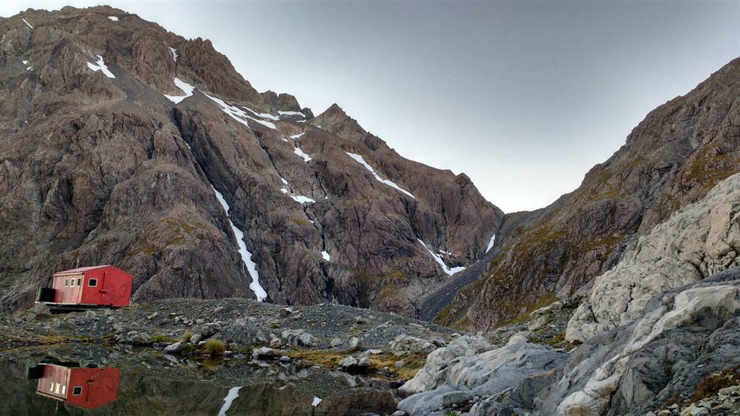
Barker Memorial Hut
Serviced Alpine • 10 bunks • Canterbury • 5.2 km
Barker Memorial Hut is a standard 10-bunk hut located in the North Canterbury and Arthur's Pass area.
Toilets - non-flush • Water from tap - not treated, boil before use • Water supply
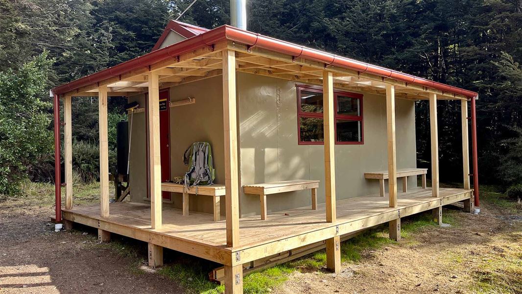
Anti Crow Hut
Standard • 8 bunks • Canterbury • 6.8 km
Anti Crow Hut is a standard eight-bunk hut located in the North Canterbury and Arthur's Pass area of Canterbury.
Heating • Mattresses • Toilets - non-flush

Julia Hut
Basic/bivvies • 4 bunks • West Coast • 7.2 km
Julia Hut is a standard six-bunk hut located in the Hokitika area of the West Coast.
Heating • Toilets - non-flush • Water from stream
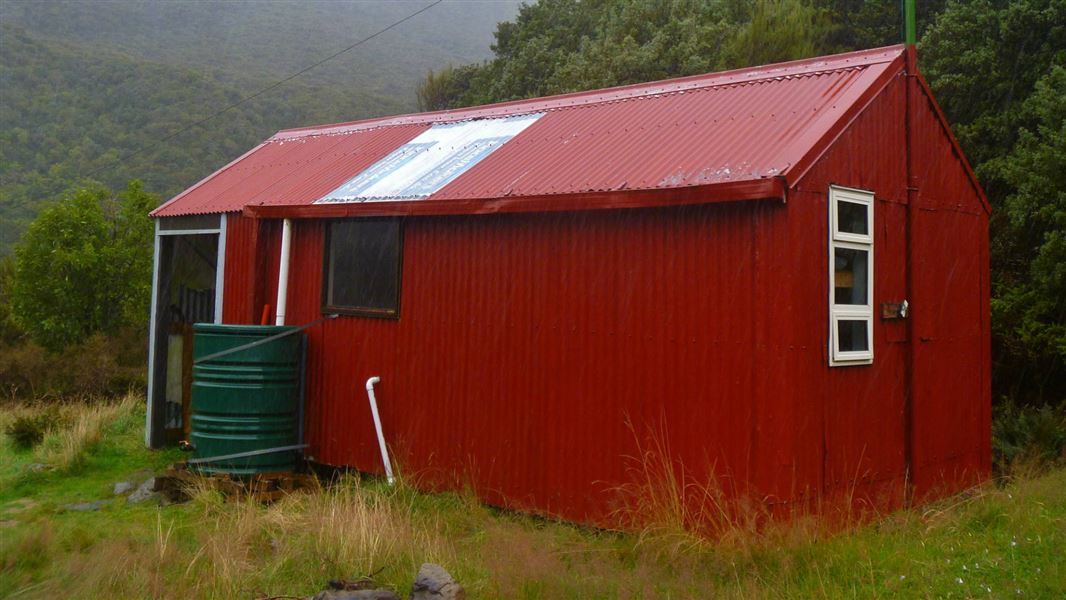
Park Morpeth Memorial Hut
Serviced Alpine • 6 bunks • Canterbury • 8.8 km
Park Morpeth Memorial Hut is a standard six-bunk hut located in the North Canterbury and Arthur's Pass area.
Mattresses • Lighting • Toilets - non-flush
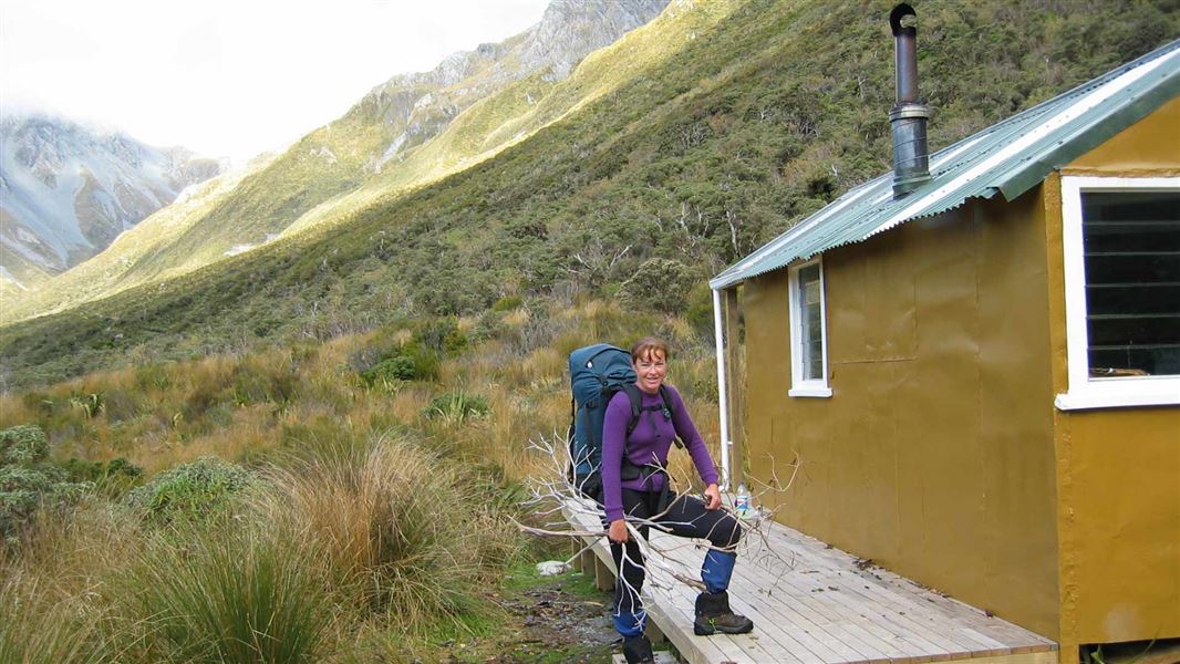
Harman Hut
Standard • 6 bunks • West Coast • 11.2 km
Harman Hut is a standard six-bunk hut located in the Hokitika area of the West Coast.
Heating • Mattresses • Toilets - non-flush
Walks nearby
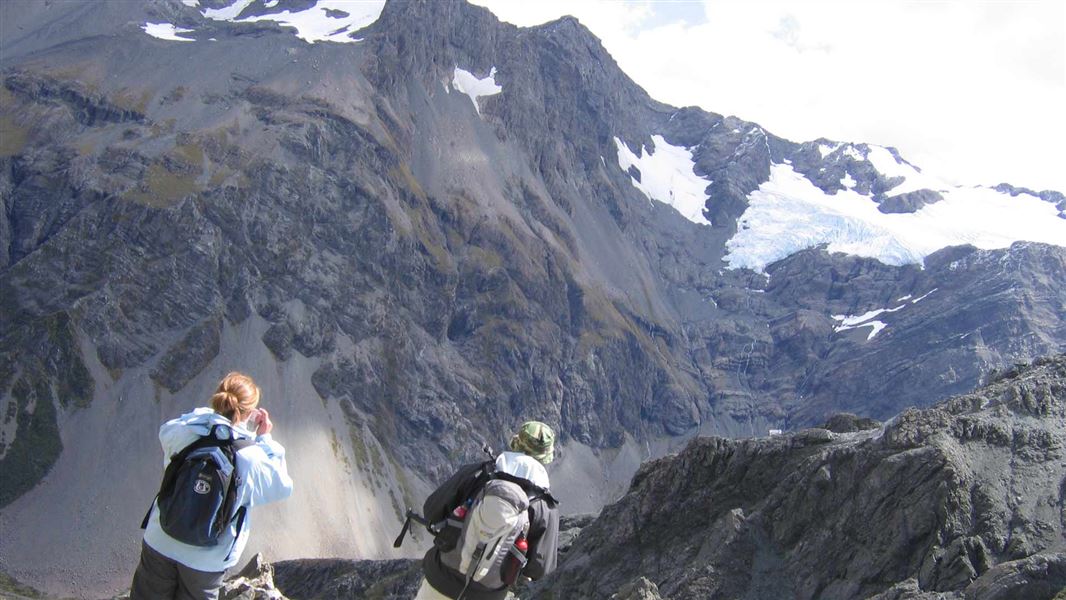
Avalanche Peak - Crow River Route
Expert • 2 days • 7.57 km away
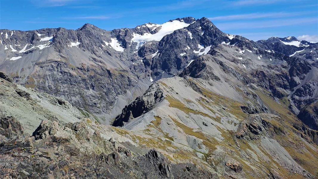
Avalanche Peak Route
Advanced • Various options, 3-4 hr to summit • 2.5 km, 1,100 m vertical climb • 8.49 km away
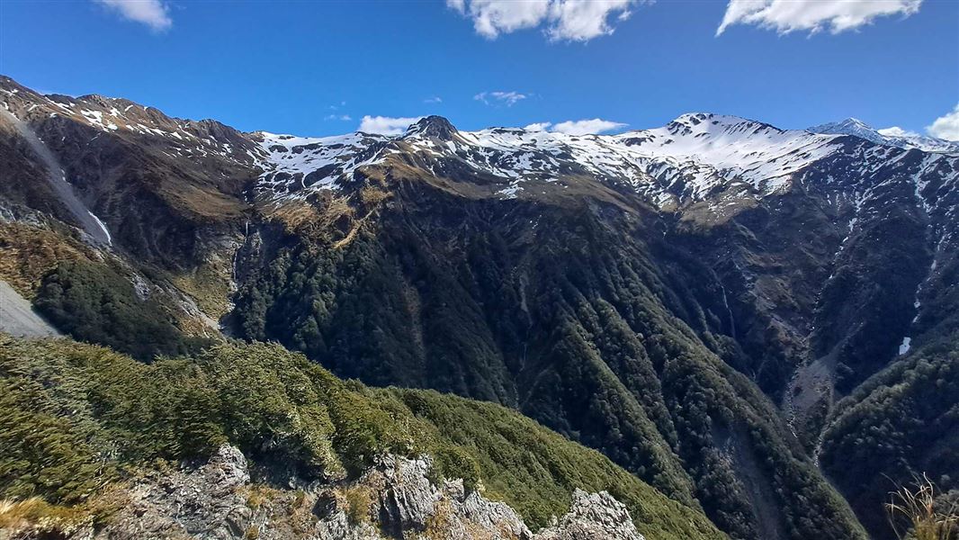
Mount Bealey Track
Advanced • 2-4 hours return to the bushline • 3.2 km (610 m vertical climb) to the bushline • 9.17 km away
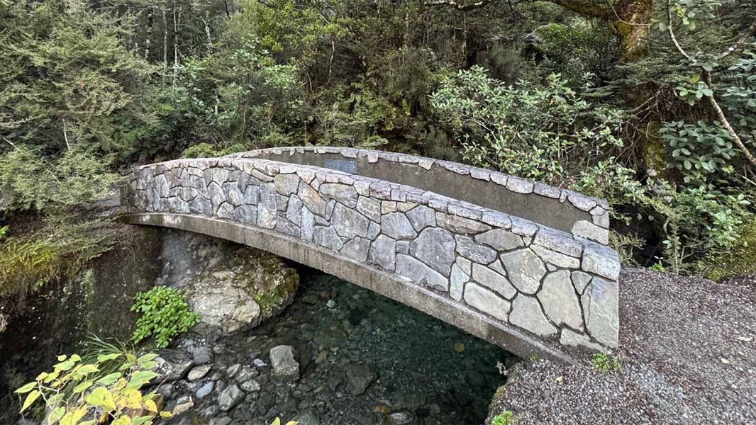
Millennium Walk
Easiest • 10 min • 350 m • 9.43 km away
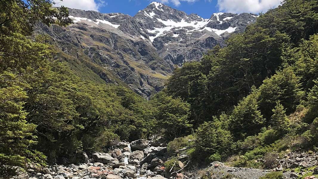
Bealey Valley Track
Easy • 25 min • 1.2 km • 9.8 km away
Contact
Arthur's Pass National Park Visitor Centre
104 West Coast Road, Arthur's Pass 7654
Regional DOC service centre.
Notes from people who have been
No notes yet. If you have been, say what you found.
Something missing or out of date?
Closed, moved, wrong facts, or something we have missed? Travellers keep the Road Guide up to date. Tell us what you found at contribute@parkup.nz and we will check it and add it.
Ask us to take this down
A person reads every request. We do not remove a place until we have checked it.
Sources
- DOC Huts (API) · CC BY 4.0Crown Copyright: Department of Conservation Te Papa Atawhai. Data sourced from the DOC Developer Portal (api.doc.govt.nz).
- OpenStreetMap Huts · ODbL (Open Database License)Contains information from OpenStreetMap, made available under the ODbL.
- DOC Huts · CC BY 4.0Data sourced from the Department of Conservation (DOC), New Zealand.