Mid Taipo Hut
Standard hutKelly Range – Styx River area, West CoastOpen
- Sleeps
- 6 bunks
- Booking
- Not bookable
- Cost
- from $15
- Heating
- Yes
- Drinking water
- Boil first
- Toilet
- Non-flush
Getting there
We have not checked a road end or car park for this place yet, so we do not give driving directions to it. Check how to get there before you go. Some routes cross private land and need the landowner's permission.
How to get there, on doc.govt.nz- Topo map
- Topo50 sheet BV20
- Grid reference
- E1472807, N5254660
Source: DOC Te Papa Atawhai.
Map and tracks
Track lines: DOC Te Papa Atawhai. Map data © OpenStreetMap contributors. Topo map: LINZ, CC BY 4.0. 42.85009° S, 171.44335° E
About this place
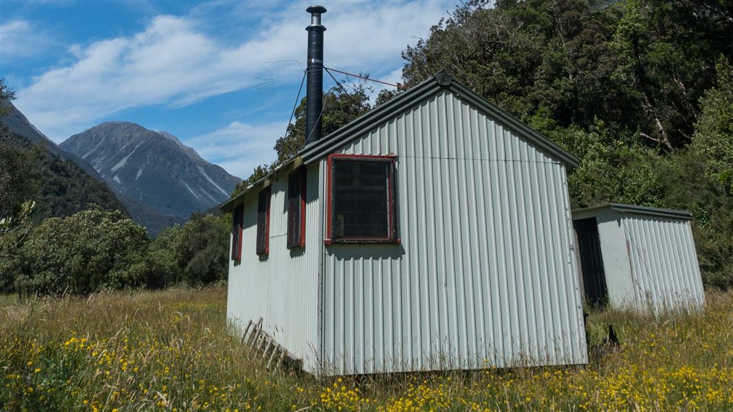
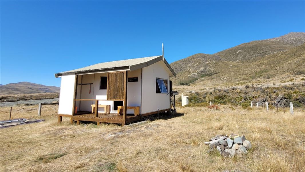
This is a standard six-bunk hut in the Hokitika area.
On the way here
Taipo River Track to Harman Pass · 2 days
Dillons Hut to Mid Taipo Hut
Time: 3 to 4 hr
Less than 1 hour of walking up the valley from Dillon Hut will bring you to Scotties 3 Wire. Cross the 3 wire bridge to the true left riverbank, then a steep climb will take you to the top of a bushed terrace. The track continues along the terrace for several hundred meters before dropping steeply back down and out onto a series of river flats. These flats are followed for a few kilometres. About 600 m beyond Dunns Creek, the track sidles into the bush and the track continues to follow the river from above. The track opens out to river flats again below Hura Creek. After crossing Hura Creek, pick up the cut track leading to Mid Taipo Hut 500 m beyond. During heavy rain Seven Mile, Dunns and Hura Creeks quickly become impassable.
Mid Taipo Hut to Julia Hut
Time: 2 - 3 hr
From Mid Taipo Hut head upstream for about 1500 m to the Mid Taipo Swing Bridge. Using the bridge, cross to the true right bank and continue up river. From this point on the track crosses various side streams and alternates between riverbed and bush travel. A three wire bridge gives access across Tumbledown Creek. The old Julia Hut (an open fireplace and loads of character) is in a clearing on a terrace just upstream of a large tarn. The newer hut is a few minutes further along the track, on a lower terrace. A short track leads from the front door down to the Taipo River. Approximately 450 m downstream on the true right of the Taipo some hot springs can be located on the river’s edge (follow your nose as you get closer). You may need to dig them out to create a pool. Don’t put your head under the water as there is a risk of contracting amoebic meningitis.
Harman Pass Route · 3 - 4 days
Julia Hut – Seven Mile Creek (Dillon Hut)
Time: 6 hr
Follow the track down the true right of Taipo River and over the 3-wire bridge across Tumbledown Creek. It takes 2 hours to reach the swing bridge across the Taipo. Mid Taipo Hut (6 bunks) is about 20 minutes downstream from the bridge across scrubby flats. From the hut continue over open flats for a short distance before entering the forest and crossing Hura Creek. After heavy rain Hura Creek quickly becomes impassable. Once across Hura Creek follow the river flats for 5 to 10 minutes until a section of track climbs and bypasses a gorge. Continue over easy flats or in the riverbed on the true left of the main Taipo River until the river narrows. Dunns Creek and other side creeks are forded along the way – in heavy rain these side creeks rise quickly and may become impassable. Care is required climbing an extremely steep route up a fresh landslide area and over a bluff to a new 3-wire bridge that crosses the Taipo River. This bridge is high above the river and trampers should be confident with using this type of structure prior to taking this part of the route. Walking poles, ice-axes etc should be securely stowed on your pack prior to crossing the bridge. From the 3-wire bridge, continue across bouldery riverbed and gorse-covered flats toward Dillon Hut. Orange poles mark the easiest way. Alternatively, a little further on from Dillon Hut is the old Dillons homestead. This is an older alternative with considerable character.
Source: DOC Te Papa Atawhai.
Trip options
Walking times come from DOC track descriptions, added up leg by leg from car-accessible trailheads. Nights and return times are ParkUp estimates, allowing about 8 hours of walking a day.
8 options · 1 to 3 nights
North Mavora Lake
Walking in
8 hr (via Careys Hut, Boundary Hut)
Walking out
8 hr to North Mavora Lake (via Careys Hut, Boundary Hut)
Tracks used: Mavora - Greenstone Walkway → Wangapeka Track
Walking in
8 hr (via Careys Hut, Boundary Hut)
Walking out
11 hr to Wangapeka Road car park (via Belltown Manunui Hut)
Tracks used: Mavora - Greenstone Walkway → Wangapeka Track
Walking in
8 hr (via Careys Hut, Boundary Hut)
Walking out
13 hr 30 min to Rolling River car park (via Kings Creek Hut, Stone Hut, Helicopter Flat Hut)
Source: DOC Te Papa Atawhai track descriptions.
Fees and bookings
Before you go, buy Hut Tickets for each night's stay. Put these in the honesty box at the hut. Or buy a Backcountry Hut Pass that gives unlimited use at most Standard and Serviced huts for a 12 month period. Retailers that sell hut tickets and passes
Source: DOC Te Papa Atawhai.
On these tracks
Source: DOC Te Papa Atawhai.
Nearby stops

Julia Hut
Basic/bivvies • 4 bunks • West Coast • 5.5 km
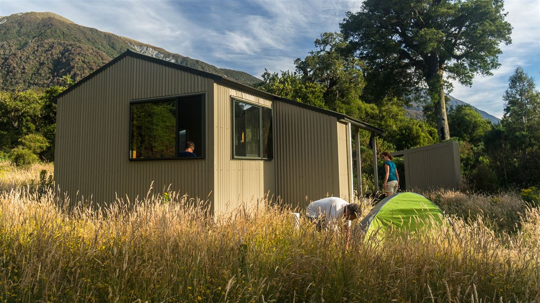
Julia Hut is a standard six-bunk hut located in the Hokitika area of the West Coast.
Heating • Toilets - non-flush • Water from stream
Dillon Hut
Standard • 10 bunks • West Coast • 7.9 km
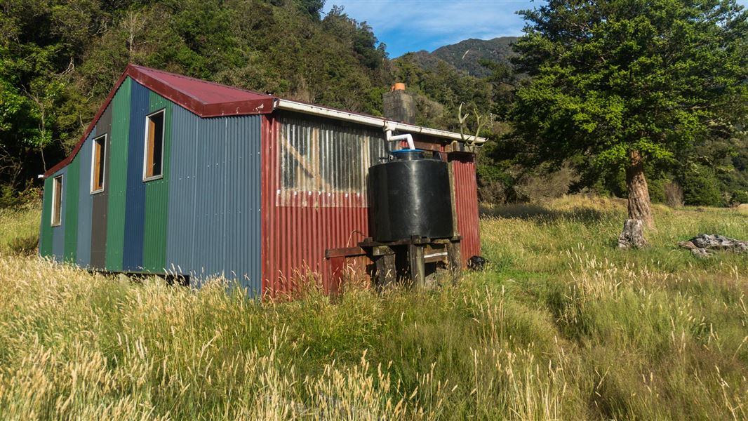
Dillon Hut is a standard 10-bunk hut located in the Hokitika area of the West Coast.
Heating • Mattresses • Toilets - non-flush
Dillons Homestead Hut
Basic/bivvies • 5 bunks • West Coast • 8.1 km
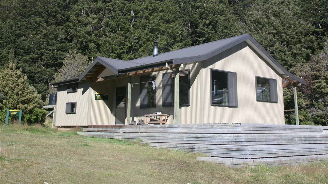
Dillons Homestead Hut is a basic five-bunk hut located in the Hokitika area of the West Coast.
Heating • Mattresses • Toilets - non-flush
Greenstone Hut
Serviced • 20 bunks • Otago • 347.9 km
Greenstone Hut is a serviced 20-bunk hut located in the Queenstown/Wakatipu area of Otago.
Heating • Mattresses • Toilets - flush
Taipo Hut
Standard • 4 bunks • Southland • 355.4 km
Taipo Hut is a standard four-bunk hut located in the Southland region.
Mattresses • Toilets - non-flush • Water from tap - not treated, boil before use
Walks nearby
Contact
Paparoa National Park Visitor Centre
4294 Coast Road, Punakaiki, RD 1 Runanga 7873
Regional DOC service centre.
Notes from people who have been
No notes yet. If you have been, say what you found.
Something missing or out of date?
Closed, moved, wrong facts, or something we have missed? Travellers keep the Road Guide up to date. Tell us what you found at contribute@parkup.nz and we will check it and add it.
Ask us to take this down
A person reads every request. We do not remove a place until we have checked it.
Sources
- OpenStreetMap Huts · ODbL (Open Database License)Contains information from OpenStreetMap, made available under the ODbL.
- DOC Huts (API) · CC BY 4.0Crown Copyright: Department of Conservation Te Papa Atawhai. Data sourced from the DOC Developer Portal (api.doc.govt.nz).
- DOC Huts · CC BY 4.0Data sourced from the Department of Conservation (DOC), New Zealand.