Greenstone Hut
Serviced hutGreenstone and Caples Conservation Areas, OtagoOpen
- Sleeps
- 20 bunks
- Booking
- Can book
- Cost
- from $25
- Heating
- Yes
- Drinking water
- Boil first
- Toilet
- Yes
Getting there
We have not checked a road end or car park for this place yet, so we do not give driving directions to it. Check how to get there before you go. Some routes cross private land and need the landowner's permission.
How to get there, on doc.govt.nz- Topo map
- Topo50 sheet CC09
- Grid reference
- E1226486, N5008425
Source: DOC Te Papa Atawhai.
Map and tracks
Track lines: DOC Te Papa Atawhai. Map data © OpenStreetMap contributors. Topo map: LINZ, CC BY 4.0. 44.98090° S, 168.26254° E
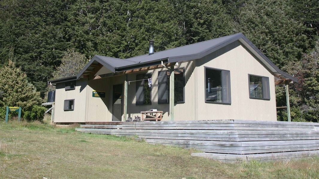
About this place
This is a serviced 20-bunk hut in the Queenstown/Wakatipu area.
On the way here
Greenstone and Caples tracks · 4 days
McKellar Hut to Greenstone Hut
Time: 4 hr 30 min - 6 hr 30 min, 18 km
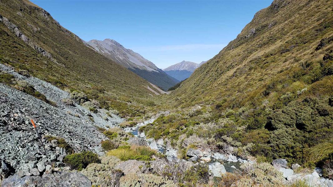
Cross the bridge in front of the hut and follow the track down river on the true left. It is a relatively easy valley walk alternating between tussock flats and bush, until the track reaches a gorge through an old land slide. Steele Creek is crossed by a swingbridge and the track veers to the right passing close to a private hut (Steele Creek Lodge) and the local Deerstalker's association Mid Greenstone Hut . The Greenstone Hut is approximately 1-2 hours away from this location. The track then meanders down the valley past a large white terrace bank, still keeping on the true left of the river all the way down a wide open valley before entering the bush again. A junction in the track is reached shortly after this. A right turn leads across a bridge over a gorge to the Greenstone Hut (20 bunks) and the Mavora Walkway.
Greenstone Hut to road end
Time: 3–5 hr, 12 km
To continue down the Greenstone Valley to the Greenstone Carpark return to the junction via the bridge over the gorge On the Greenstone Track the valley begins to narrow sharply as the river enters a long gorge section. In winter this section of track may be prone to avalanches. Slip Flat is a large open area about halfway down the gorge. There is an emergency bridge upstream if the creek across Slip Flat is in flood. Beyond Slip Flat the track enters the bush again and follows the river down to its junction with the Caples River. Several deep pools next to the track offer good swimming on hot days. Parts of the track cross private land and stock may be present. Continue to the confluence with the Caples River. Near the confluence is a swing bridge crossing the Caples to the true left bank. Here you join the Caples Track. Trampers wishing to walk out to the car park should follow the track downstream for 30 minutes.
Side trips
Time: 2–3 days
From McKellar Hut the track skirts to the left of Lake McKellar. It then goes through forest to the Routeburn Track junction/Lake Howden outlet. This route is suitable for experienced trampers only. From Greenstone Hut it is a 2-3 day walk along the Mavora-Greenstone Walkway to Mavora Lakes. The track is part of Te Araroa/The Long Pathway, and passes through open tussock country and beech forest. The terrain is gentle, and the highest point on the walk, Pass Burn, is only 200m above the level of Lake Wakatipu. There are two other huts on the walk.
Mavora - Greenstone Walkway · 4 days
Taipo Hut to Greenstone Hut
Time: 4 - 5 hr
km The track follows the toe of the hill on the western side of the Pondburn Valley. Watch carefully opposite the middle of the top pond, as the track veers up a terrace into a forest, and continues to the saddle of the Passburn Valley (728 metres). The track drops steeply (marked by warratahs) to the stream (crossing on boulders), climbing and sidling around to the Greenstone Hut. The hut is sited in a bush clearing above the confluence of the Greenstone and Sly Burn, under the rocky pinnacles of Tooth Peaks.
Greenstone Hut to Greenstone Road End
Time: 3 - 5 hr
km The Greenstone River is crossed by a swingbridge and the Greenstone Track continues downstream to the road end car park. Alternatively, follow up the Greenstone Valley to Lake McKellar, Lake Howden and The Divide. Allow an extra day for this section of the Greenstone Track.
Source: DOC Te Papa Atawhai.
Trip options
Walking times come from DOC track descriptions, added up leg by leg from car-accessible trailheads. Nights and return times are ParkUp estimates, allowing about 8 hours of walking a day.
14 options · 1 to 3 nights
Rolling River car park
Tracks used: Mavora - Greenstone Walkway → Wangapeka Track
Walking in
6 hr (via Kings Creek Hut)
Walking out
5 hr to Greenstone Road End
Walking in
6 hr (via Kings Creek Hut)
Walking out
6 hr to Rolling River car park (via Kings Creek Hut)
Greenstone Road End
Tracks used: Bush Stream and Camp Stream tracks → Mavora - Greenstone Walkway
Walking in
5 hr
Walking out
9 hr to Bush Stream car park (via Crooked Spur Hut)
Source: DOC Te Papa Atawhai track descriptions.
Fees and bookings
1 May - 30 September
1 October - 30 April
Weekdays
Weekends
1 December - 29 February
Weekdays
Weekends
Backcountry Hut Passes can be used for this hut from 1 May to 30 September. Passes won't be accepted from 1 October to 30 April. Te Araroa – The Trail Pass Te Araroa Trail Pass
Bookings are open for stays up to 30 June 2027. If no availability shows online for your dates, the hut is fully booked. No spaces are kept for visitors arriving without a booking. Phone and in‑person bookings made at a visitor centre incur a $10 service fee. Same‑day bookings are available online until 8 pm if spaces remain. Book Greenstone Hut online .
Source: DOC Te Papa Atawhai.
On these tracks
Source: DOC Te Papa Atawhai.
Nearby stops
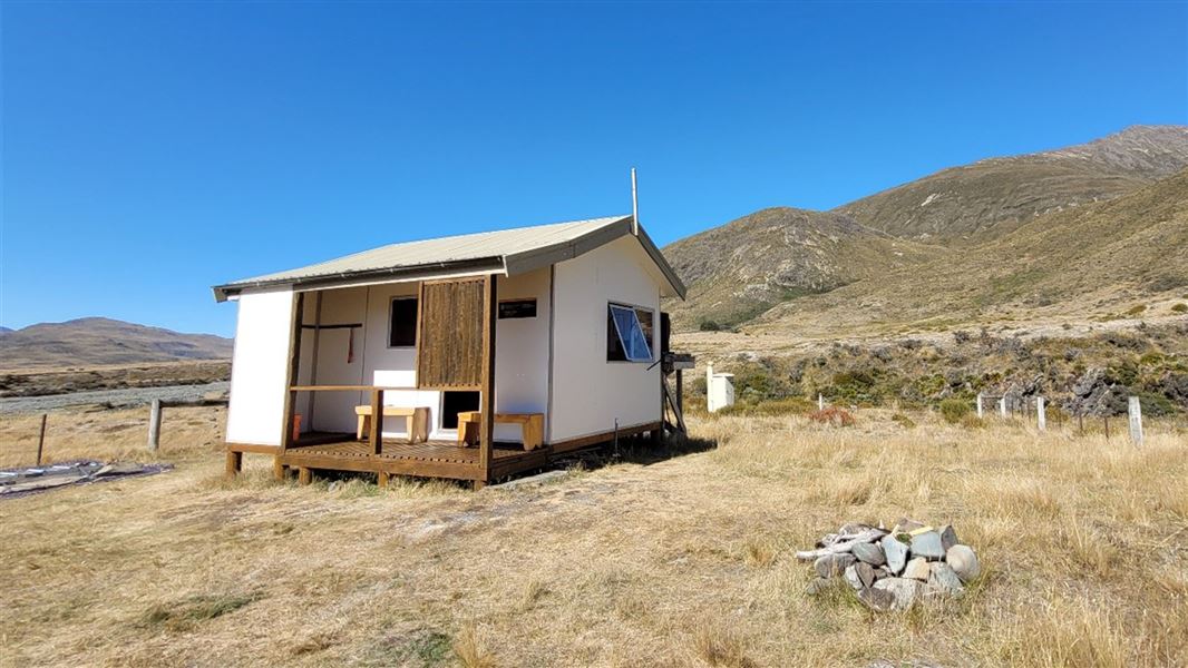
Taipo Hut
Standard • 4 bunks • Southland • 8.4 km
Taipo Hut is a standard four-bunk hut located in the Southland region.
Mattresses • Toilets - non-flush • Water from tap - not treated, boil before use
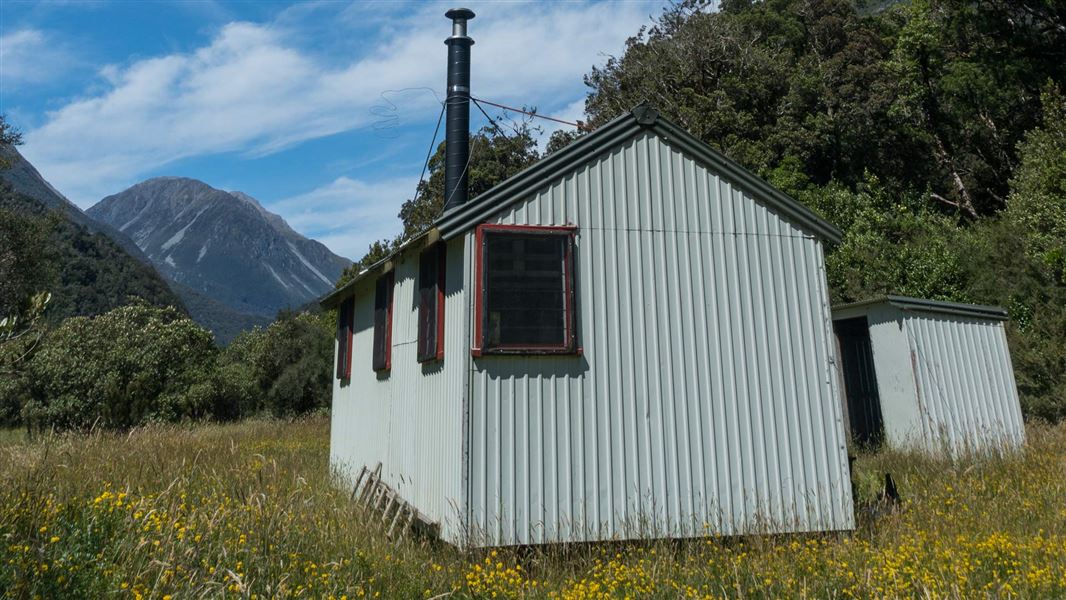
Mid Taipo Hut
Standard • 6 bunks • West Coast • 347.9 km
Mid Taipo Hut is a standard six-bunk hut located in the Hokitika area of the West Coast.
Heating • Mattresses • Toilets - non-flush
Greenstone Campsite
Backcountry • Otago • 0.2 km
Greenstone Campsite is a backcountry campsite located outside Greenstone Hut in Otago.
Toilets - flush • Water from tap - not treated, boil before use • Toilets

Slip Flat Hut
Basic/bivvies • 3 bunks • Otago • 2.9 km
Slip Flat Hut is a basic three-bunk hut located in the Queenstown/Wakatipu area of Otago.
Heating • Mattresses • Toilets - non-flush

Mid Caples Campsite
Backcountry • Otago • 9.9 km
Mid Caples Campsite is a backcountry campsite located outside Mid Caples Hut in Otago.
Toilets - flush • Water from tap - not treated, boil before use • Toilets
Walks nearby
Contact
Whakatipu-wai-Māori/Queenstown Visitor Centre
Regional DOC service centre.
Something missing or out of date?
Closed, moved, wrong facts, or something we have missed? Travellers keep the Road Guide up to date. Tell us what you found at contribute@parkup.nz and we will check it and add it.
Ask us to take this down
A person reads every request. We do not remove a place until we have checked it.
Sources
- OpenStreetMap Huts · ODbL (Open Database License)Contains information from OpenStreetMap, made available under the ODbL.
- DOC Huts · CC BY 4.0Data sourced from the Department of Conservation (DOC), New Zealand.
- DOC Huts (API) · CC BY 4.0Crown Copyright: Department of Conservation Te Papa Atawhai. Data sourced from the DOC Developer Portal (api.doc.govt.nz).