Bush Stream and Camp Stream tracks
WalkCanterbury
- Grade
- Expert
- Walking time
- 3 days
- Distance
- 46 km
- Dogs
- Under control
Getting there
We have not checked a road end or car park for this place yet, so we do not give driving directions to it. Check how to get there before you go. Some routes cross private land and need the landowner's permission.
How to get there, on doc.govt.nzMap and tracks
Track lines: DOC Te Papa Atawhai. Map data © OpenStreetMap contributors. Topo map: LINZ, CC BY 4.0. 43.79386° S, 170.64892° E
About this place
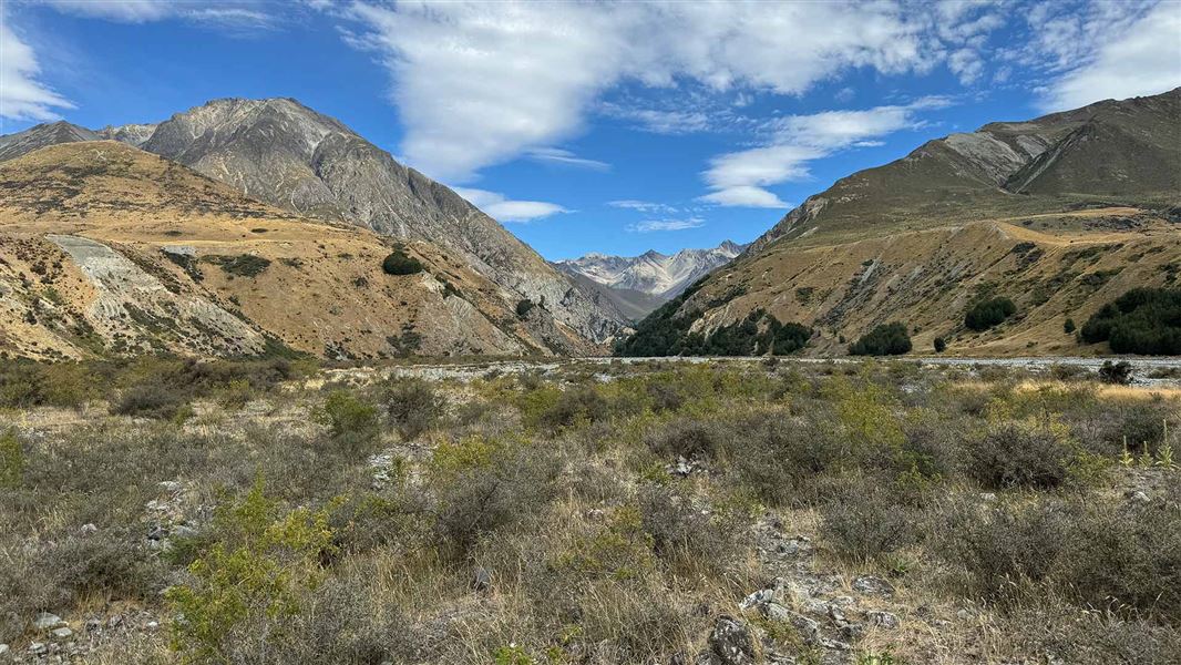
These tracks link the Rangitata River valley near Mesopotamia with Round Hill by Lake Tekapo. They are part of Te Araroa.
The route
This track is part of Te Araroa Trail . Te Araroa trail has a detailed route description: Canterbury | Te Araroa Note: some maps may still have an old stock bridge marked on the map in this section of the track. That bridge has been removed.
Take care crossing rivers
Bush Stream can be a difficult stream to cross and should not be attempted if in flood or heavy rain is forecast. It can also rise during spring snow melt. There are also many other unbridged stream and river crossings on this route. Always assess the stream/river carefully before crossing and if in doubt, stay out. Make sure you have river crossing skills and know the signs of an unsafe river . Carry an emergency shelter and spare food in case of delays. Take great care around Sawtooth Bluff, as Bush Stream here is narrow, steep and deep, even in normal flow.
Advanced backcountry skills and experience needed
The section of track between Bush Stream and Coal River is mostly unformed and requires backcountry experience, river crossing and navigational skills. Follow the markers/poles and carry emergency equipment.
Walking times
Time: 3-4 hr shared use track with walkers and mountain bikers
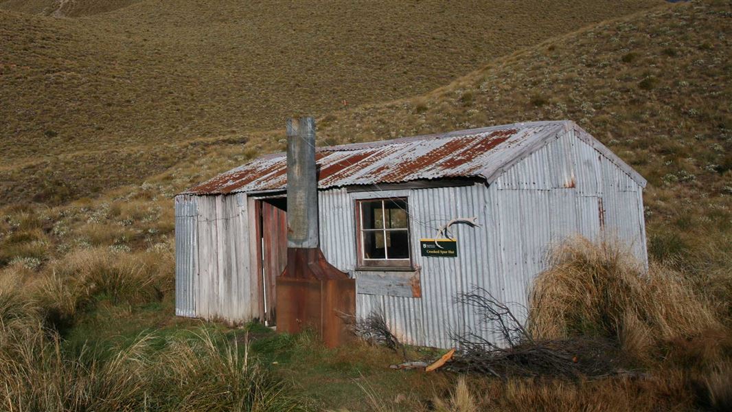
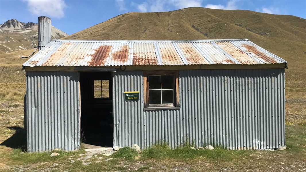
Bush Stream car park to Crooked Spur Hut Crooked Spur Hut to Stone Hut Stone Hut is subject to a high level of avalanche risk. The current hut is the second to be built on this site as the first was destroyed by an avalanche. We recommend you don't use this hut during winter and spring when there is more than 50 cm of snow on the slope behind the hut. Alternative accommodation is at Royal Hut . Stone Hut to Royal Hut Royal Hut to Stag Saddle Stag Saddle is a remote alpine pass and should not be attempted in bad weather. Stag Saddle to Camp Stream Hut There are two possible routes between Stag Saddle and Camp Stream Hut. There is a poled route in the valley floor, which is recommended in bad weather and poor visibility. There is also an informal ridgeline route, which is suitable for good weather, and offers spectacular views over the lake. Camp Stream Hut to skifield road car park
Source: DOC Te Papa Atawhai.
Know before you go
This is a remote area with alpine terrain and unbridged stream crossings
This route requires backcountry experience, river crossing and navigational skills. It is best walked in good weather when no rain is forecast. Stag Saddle is a remote alpine pass and also should not be attempted in bad weather. Bush Stream can be a difficult stream to cross and should not be attempted if in flood or heavy rain is forecast. Find a gear list here and carry emergency equipment.
Fire restrictions
Fire restrictions apply to all conservation land. Check with local information centres or DOC offices for the current fire status. View information about DOC and fire management.
River crossings
Always treat the rivers with respect Never cross a dirty or flooded river River currents are often stronger than they appear Water levels can rise rapidly due to rain in the headwaters; it does not need to be raining at the crossing place River braids can shift and there may be soft sinking sand If in doubt, stay put until conditions improve or turn back. Carry an emergency shelter and spare food, in case of delays.
Be avalanche aware
Be aware of avalanche run-out zones from June to November. We recommend carrying avalanche transceivers 457khz, probes and shovels in avalanche terrain. Avoid using Stone Hut if avalanche risk is high.
Communication
Cell phone coverage is patchy and cannot be relied on in the park. The use of satellite phones, mountain radios or personal locator beacons can all provide increased personal safety.
Weather forecast
Stag Saddle weather forecast
Camp Stream Hut
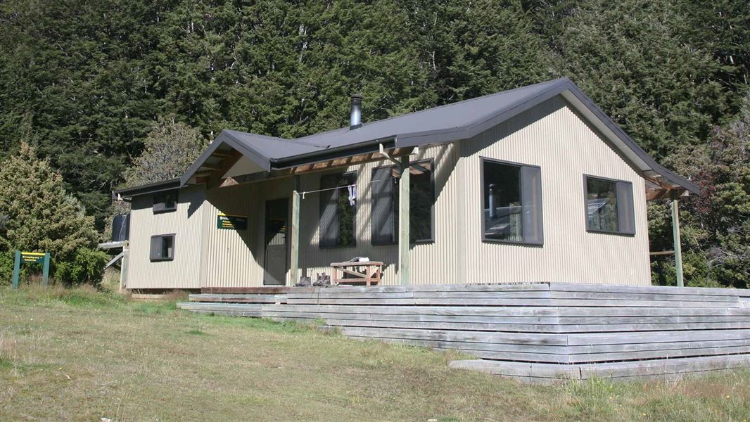
Camp Stream Hut is owned and managed by Mackenzie Alpine Trust - Lake Tekapo. A recommended donation of $10 can be left at the hut.
Source: DOC Te Papa Atawhai.
Joins these tracks
Source: DOC Te Papa Atawhai.
On this track
In walking order.
Nearby stops
Rex Simpson Hut
Canterbury • 3.1 km
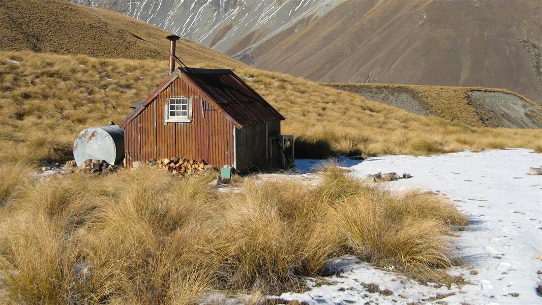
Stone Hut
Canterbury • 9.5 km
Stone Hut is a backcountry hut located in the Canterbury region of New Zealand. The available records provide no further details regarding its specific…
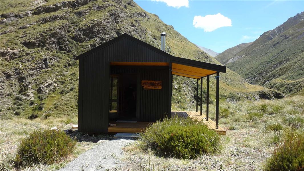
South Opuha Hut
Standard • 6 bunks • Canterbury • 12.6 km
South Opuha Hut is a standard six-bunk hut located in the Mid and South Canterbury area. It provides basic accommodation for hikers in the Canterbury region.
Heating • Mattresses • Toilets - non-flush
Stoney Stream Hut
Canterbury • 14.3 km
Stoney Stream Hut is a backcountry hut located in the Canterbury region. It provides basic shelter for tramping parties in the area.
Ribbonwood Hut
Canterbury • 14.9 km
Notes from people who have been
No notes yet. If you have been, say what you found.
Something missing or out of date?
Closed, moved, wrong facts, or something we have missed? Travellers keep the Road Guide up to date. Tell us what you found at contribute@parkup.nz and we will check it and add it.
Ask us to take this down
A person reads every request. We do not remove a place until we have checked it.
Sources
- DOC Tracks (API) · CC BY 4.0Crown Copyright: Department of Conservation Te Papa Atawhai. Data sourced from the DOC Developer Portal (api.doc.govt.nz).