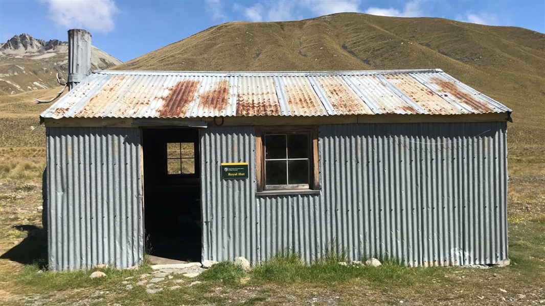
Royal Hut
Basic/bivvies hutTe Kahui Kaupeka Conservation Park, CanterburyOpen
- Sleeps
- 8 bunks
- Booking
- Not bookable
- Heating
- Yes
- Drinking water
- Not drinkable
- Toilet
- Non-flush
Getting there
We have not checked a road end or car park for this place yet, so we do not give driving directions to it. Check how to get there before you go. Some routes cross private land and need the landowner's permission.
How to get there, on doc.govt.nz- Topo map
- Topo50 sheet BX17
- Grid reference
- E1417502, N5156078
Source: DOC Te Papa Atawhai.
Map and tracks
Track lines: DOC Te Papa Atawhai. Map data © OpenStreetMap contributors. Topo map: LINZ, CC BY 4.0. 43.72586° S, 170.73417° E
About this place
Royal Hut is a basic hut in the South Canterbury area.
On the way here
Bush Stream and Camp Stream tracks · 2-3 days
Walking times
Time: 3-4 hr shared use track with walkers and mountain bikers
Bush Stream car park to Crooked Spur Hut Crooked Spur Hut to Stone Hut Stone Hut is subject to a high level of avalanche risk. The current hut is the second to be built on this site as the first was destroyed by an avalanche. We recommend you don't use this hut during winter and spring when there is more than 50 cm of snow on the slope behind the hut. Alternative accommodation is at Royal Hut . Stone Hut to Royal Hut Royal Hut to Stag Saddle Stag Saddle is a remote alpine pass and should not be attempted in bad weather. Stag Saddle to Camp Stream Hut There are two possible routes between Stag Saddle and Camp Stream Hut. There is a poled route in the valley floor, which is recommended in bad weather and poor visibility. There is also an informal ridgeline route, which is suitable for good weather, and offers spectacular views over the lake. Camp Stream Hut to skifield road car park
Source: DOC Te Papa Atawhai.
Trip options
Walking times come from DOC track descriptions, added up leg by leg from car-accessible trailheads. Nights and return times are ParkUp estimates, allowing about 8 hours of walking a day.
2 options · 2 nights
Bush Stream car park
Walking in
11 hr (via Crooked Spur Hut, Stone Hut)
Walking out
8 hr to Camp Stream Hut
Walking in
11 hr (via Crooked Spur Hut, Stone Hut)
Walking out
11 hr to Bush Stream car park (via Crooked Spur Hut, Stone Hut)
Source: DOC Te Papa Atawhai track descriptions.
On these tracks
Source: DOC Te Papa Atawhai.
Nearby stops
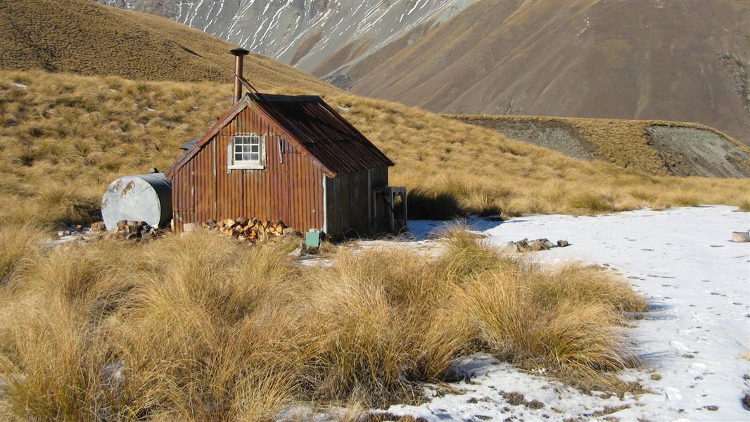
Camp Stream Hut
Basic/bivvies • 6 bunks • Canterbury • 10.2 km
Camp Stream Hut is a basic six-bunk hut located in the Mackenzie Country and Waitaki area of Canterbury.
Heating • Mattresses • Toilets - non-flush
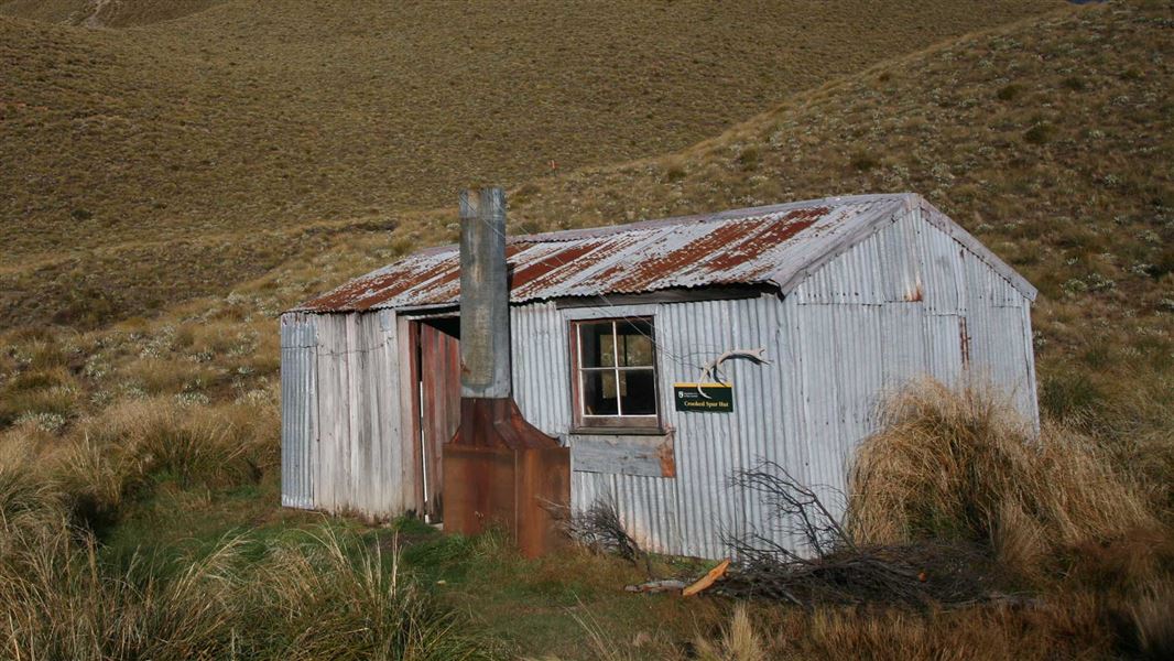
Crooked Spur Hut
Basic/bivvies • 8 bunks • Canterbury • 12.2 km
Crooked Spur Hut is a basic hut located in the South Canterbury area. It provides simple accommodation for visitors exploring the region.
Heating • Mattresses • Toilets - non-flush
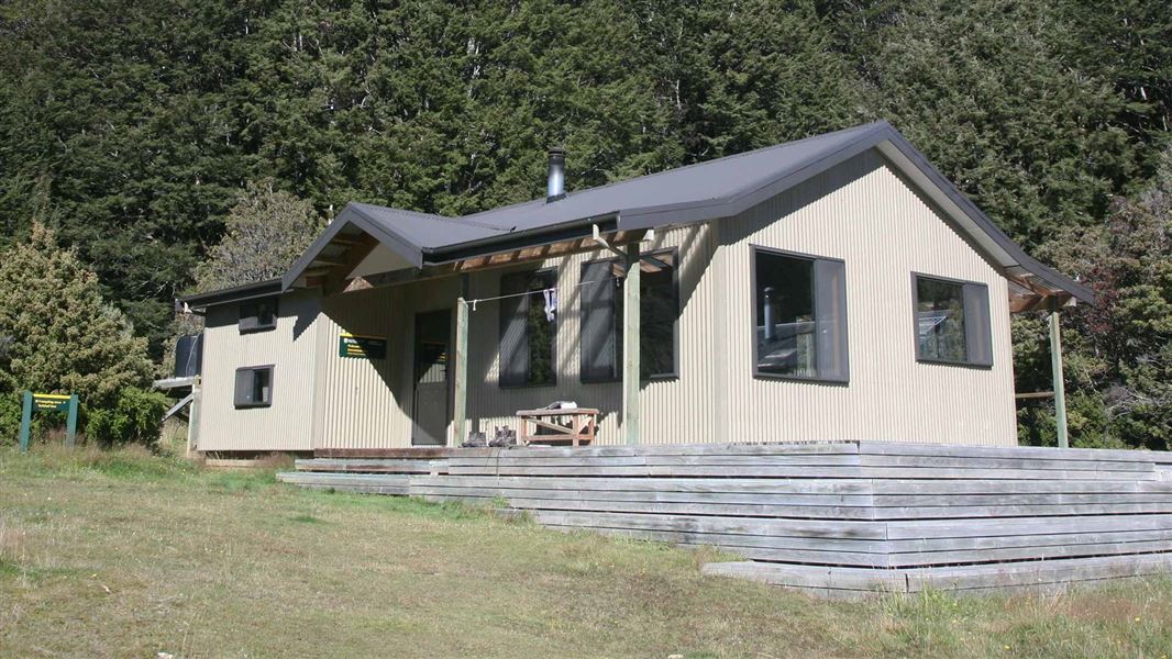
Greenstone Hut
Serviced • 20 bunks • Otago • 241 km
Greenstone Hut is a serviced 20-bunk hut located in the Queenstown/Wakatipu area of Otago.
Heating • Mattresses • Toilets - flush
Walks nearby
Contact
Aoraki/Mount Cook National Park Visitor Centre
1 Larch Grove, Aoraki/Mount Cook 7999
Regional DOC service centre.
Notes from people who have been
No notes yet. If you have been, say what you found.
Something missing or out of date?
Closed, moved, wrong facts, or something we have missed? Travellers keep the Road Guide up to date. Tell us what you found at contribute@parkup.nz and we will check it and add it.
Ask us to take this down
A person reads every request. We do not remove a place until we have checked it.
Sources
- OpenStreetMap Huts · ODbL (Open Database License)Contains information from OpenStreetMap, made available under the ODbL.
- DOC Huts · CC BY 4.0Data sourced from the Department of Conservation (DOC), New Zealand.
- DOC Huts (API) · CC BY 4.0Crown Copyright: Department of Conservation Te Papa Atawhai. Data sourced from the DOC Developer Portal (api.doc.govt.nz).