Taipo Hut
Standard hutMavora Lakes Conservation Park, SouthlandOpen
- Sleeps
- 4 bunks
- Booking
- Not bookable
- Cost
- from $15
- Heating
- None
- Drinking water
- Boil first
- Toilet
- Non-flush
Getting there
We have not checked a road end or car park for this place yet, so we do not give driving directions to it. Check how to get there before you go. Some routes cross private land and need the landowner's permission.
How to get there, on doc.govt.nz- Topo map
- Topo50 sheet CC09
Source: DOC Te Papa Atawhai.
Map and tracks
Track lines: DOC Te Papa Atawhai. Map data © OpenStreetMap contributors. Topo map: LINZ, CC BY 4.0. 45.05092° S, 168.22226° E
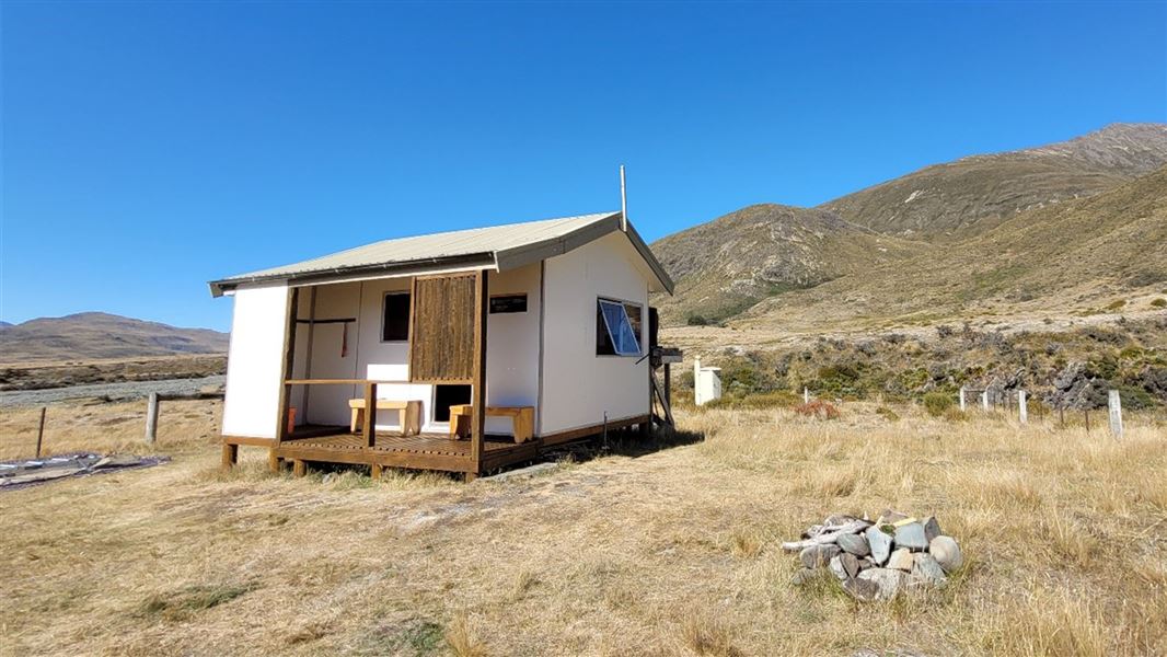
About this place
This is a standard four-bunk hut in the Southland area.
On the way here
Mavora - Greenstone Walkway · 4 days
Boundary Hut to Taipo Hut
Time: 3 - 4 hr
km From the hut cross the swingbridge and follow marker posts on the true right of the Mararoa River. The track sidles up along the toe of the hill and the true right of the valley and continues onto Taipo Hut. Access to the hut on the north side of the river is by swingbridge.
Taipo Hut to Greenstone Hut
Time: 4 - 5 hr
km The track follows the toe of the hill on the western side of the Pondburn Valley. Watch carefully opposite the middle of the top pond, as the track veers up a terrace into a forest, and continues to the saddle of the Passburn Valley (728 metres). The track drops steeply (marked by warratahs) to the stream (crossing on boulders), climbing and sidling around to the Greenstone Hut. The hut is sited in a bush clearing above the confluence of the Greenstone and Sly Burn, under the rocky pinnacles of Tooth Peaks.
Wangapeka Track · 4 - 6 days one way
Helicopter Flat Hut to Taipo Hut
Time: 3 hr 30 min
8.6 km The route follows the Karamea River and sidles through bush to the Tabernacle lookout above, where the river drops away over Saxon Falls. It then continues and drops down to the Taipo footbridge. From the bridge, the route climbs steadily beside Taipo River for several kilometres to Taipo Hut. There are good camping sites below the helicopter pad.
Taipo Hut to Belltown Manunui Hut
Time: 7 hr
11.2 km The route gradually gets steeper towards Stag Flat Bivvy which is adjacent to the route. From the bivvy the route winds steeply up to the Little Wanganui Saddle, the highest point on the route (1,087 m); snow can be a problem here during winter. It then passes Saddle Lakes and drops steeply to the Little Wanganui River. Just prior to crossing to the true right via a swing bridge, a signposted side-track leads to Little Wanganui Gorge Shelter , 150 m from the main track. After crossing the swing bridge the route continues to Tangent Creek, then climbs above the river and sidles around the gorge, returning to the river at Smith Creek. McHarrie Creek (between Tangent and Smith Creeks) is unbridged and cannot be crossed during high rainfall. A little further downstream the route leads to a junction on the right where Belltown Manunui Hut is set back 60 m from the main track. There is a large slip about 2 km upstream of the Belltown/Manunui Hut. Approximately 60 m of track has been buried and this may be difficult to navigate in wet conditions.
Source: DOC Te Papa Atawhai.
Trip options
Walking times come from DOC track descriptions, added up leg by leg from car-accessible trailheads. Nights and return times are ParkUp estimates, allowing about 8 hours of walking a day.
8 options · 1 to 3 nights
North Mavora Lake
Walking in
8 hr (via Careys Hut, Boundary Hut)
Walking out
8 hr to North Mavora Lake (via Careys Hut, Boundary Hut)
Tracks used: Mavora - Greenstone Walkway → Wangapeka Track
Walking in
8 hr (via Careys Hut, Boundary Hut)
Walking out
11 hr to Wangapeka Road car park (via Belltown Manunui Hut)
Tracks used: Mavora - Greenstone Walkway → Wangapeka Track
Walking in
8 hr (via Careys Hut, Boundary Hut)
Walking out
13 hr 30 min to Rolling River car park (via Kings Creek Hut, Stone Hut, Helicopter Flat Hut)
Source: DOC Te Papa Atawhai track descriptions.
Fees and bookings
Before you go, buy Hut Tickets for each night's stay. Put these in the honesty box at the hut. Or buy a Backcountry Hut Pass that gives unlimited use at most Standard and Serviced huts for a 12 month period. Retailers that sell hut tickets and passes Te Araroa – The Trail Pass Te Araroa Trail Pass
Source: DOC Te Papa Atawhai.
On these tracks
Source: DOC Te Papa Atawhai.
Nearby stops
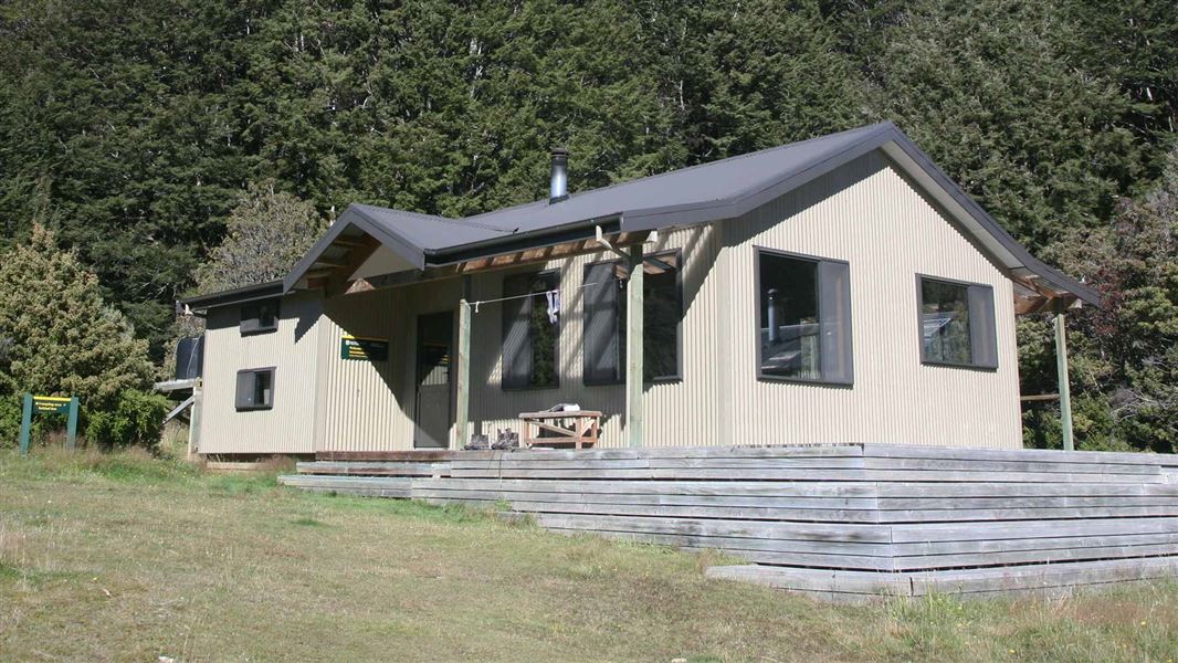
Greenstone Hut
Serviced • 20 bunks • Otago • 8.4 km
Greenstone Hut is a serviced 20-bunk hut located in the Queenstown/Wakatipu area of Otago.
Heating • Mattresses • Toilets - flush
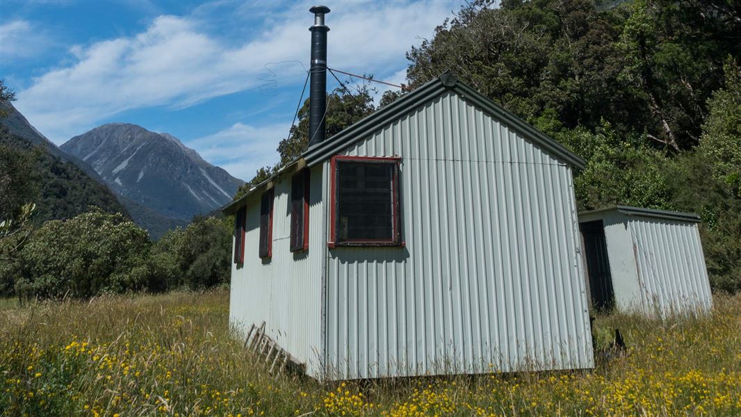
Mid Taipo Hut
Standard • 6 bunks • West Coast • 355.4 km
Mid Taipo Hut is a standard six-bunk hut located in the Hokitika area of the West Coast.
Heating • Mattresses • Toilets - non-flush

Boundary Hut
Standard • 4 bunks • Southland • 10.5 km
Boundary Hut is a standard four-bunk hut located in the Te Anau area of Southland.
Toilets - non-flush • Water from tap - not treated, boil before use • Water supply
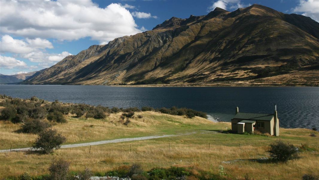
Careys Hut
Standard • 6 bunks • Southland • 15.9 km
Careys Hut is a standard six-bunk hut located in the Southland region.
Heating • Mattresses • Toilets - non-flush

Stone Hut
Basic/bivvies • 8 bunks • Canterbury • 253.1 km
Stone Hut is a basic hut located in the South Canterbury area.
Heating • Mattresses • Toilets - non-flush
Contact
Te Rua-o-te-moko/Fiordland National Park Visitor Centre
1 Lakefront Drive, Te Anau 9600
Regional DOC service centre.
Notes from people who have been
No notes yet. If you have been, say what you found.
Something missing or out of date?
Closed, moved, wrong facts, or something we have missed? Travellers keep the Road Guide up to date. Tell us what you found at contribute@parkup.nz and we will check it and add it.
Ask us to take this down
A person reads every request. We do not remove a place until we have checked it.
Sources
- DOC Huts · CC BY 4.0Data sourced from the Department of Conservation (DOC), New Zealand.
- OpenStreetMap Huts · ODbL (Open Database License)Contains information from OpenStreetMap, made available under the ODbL.
- DOC Huts (API) · CC BY 4.0Crown Copyright: Department of Conservation Te Papa Atawhai. Data sourced from the DOC Developer Portal (api.doc.govt.nz).