Ballroom Overhang Track
WalkWest CoastOpen
- Grade
- Expert
- Walking time
- 4 hr
- Distance
- 12 km
- Route
- Return
- Dogs
- No dogs
Getting there
We have not checked a road end or car park for this place yet, so we do not give driving directions to it. Check how to get there before you go. Some routes cross private land and need the landowner's permission.
How to get there, on doc.govt.nzThe Ballroom Overhang is reached via the Inland Pack Track, signposted by the main road bridge at Fox River, 12 km north of Punakaiki.
Source: DOC Te Papa Atawhai.
Map and tracks
Track lines: DOC Te Papa Atawhai. Map data © OpenStreetMap contributors. Topo map: LINZ, CC BY 4.0. 42.04324° S, 171.43672° E
About this place
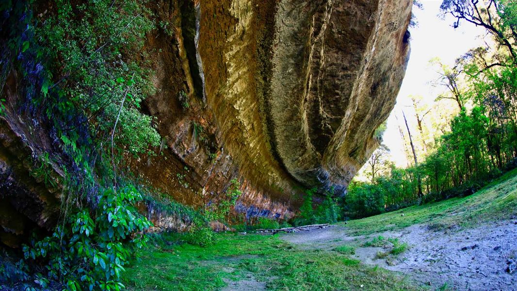
Experience some of the Paparoa National Park's finest limestone features, including a large limestone outcrop.
The route
About the track
Some of the park’s finest limestone features are in this area. The Ballroom Overhang, about 500 m upstream from the Fox River/Dilemma Creek confluence, is a large limestone outcrop providing a safe place to shelter or camp overnight. It’s also a good option to visit as a day hike. There is a toilet at the overhang. There are several unbridged river crossings of the Fox River on this track. The river can rise rapidly and become impassable during heavy rain, so check the Paparoa National Park forecast before you go and plan to hike in dry weather. Pick a different track if rain is forecast or if it recently rained heavily.
Route description
The Ballroom Overhang is reached via the Inland Pack Track , starting from the car park at the mouth of the Fox River. The first part of the track follows the true right of the river through bush and over braided riverbed sections. After about 30 minutes, a river crossing is required to rejoin the track on the true left of the river. Be aware: this first crossing of the Fox River is not always the deepest. The crossing at the junction of Fox River and Dilemma Creek can be deeper. On the true left of the river, the track continues for 2 km through the gorge. It frequently climbs and drops to negotiate bluffs. A 60 m section of the track is badly damaged approximately 40 minutes by foot from Fox River carpark. Take care and follow the track via a marked diversion. The formed track ends at the confluence of Fox River and Dilemma Creek. From here, there is a further 500 m of river-bed travel and river crossings to reach the Ballroom Overhang, located on the true right of the Fox River.
Source: DOC Te Papa Atawhai.
Know before you go
Tramping skills and experience needed
This is a challenging tramping track, recommended for experienced trampers only. It requires navigation and river crossing skills. The track is steep, rough and unformed in places. It follows the riverbed at times and has many river crossings.
Stay safe when crossing rivers
If you plan to cross unbridged rivers, know how to cross safely and be prepared for if you cannot cross. Do not cross if the river is flooded, you cannot find safe entry and exit points or are unsure it’s safe. Turn back or wait for the river to drop. If in doubt, stay out. How to cross rivers safely
Stay on the track to avoid sinkholes
This is a limestone (kaarst) area, which means sinkholes, chasms and flash flooding are common. These sinkholes and chasms are not marked and can be hard to see. We recommend staying on the track to avoid them.
Ongaonga (stinging nettles) in this area
Beware of ongaonga (stinging nettle). It is especially common in limestone areas and the sting is painful.
Source: DOC Te Papa Atawhai.

Nearby stops
Punakaiki Beach Camp
West Coast • 10.8 km
Punakaiki Beach Camp is a campsite located on the West Coast of New Zealand. It is situated near the Punakaiki area, providing access to the local coastline…
Pororari Hut
Great Walk • 20 bunks • West Coast • 14.2 km
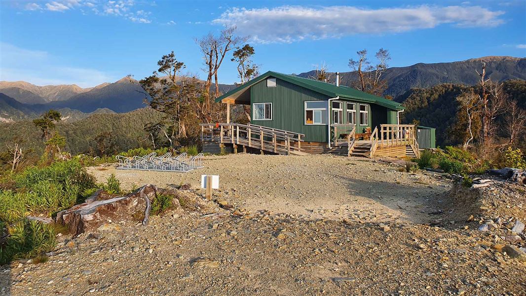
Pororari Hut is a 20-bunk Great Walk hut located on the Paparoa Track in the West Coast region.
Cooking • Heating • Mattresses
Coast Road Holiday Park
West Coast • 15.2 km
Walks nearby
Cave Creek Memorial Track/Kotihotiho
Easy • 1 hr 10 min return • 4 km • 7.25 km away
Tiropahi Track
Advanced • 3 hrs • 10 km • 7.47 km away
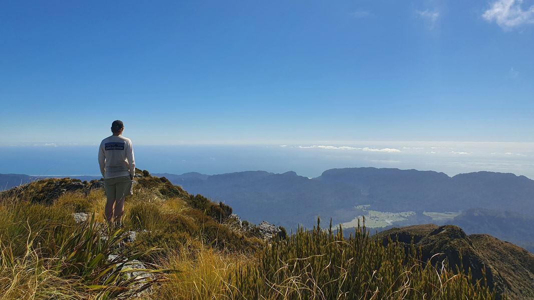
Mt Bovis Route
Expert • 8-10 hr • 8 km from track head • 7.48 km away
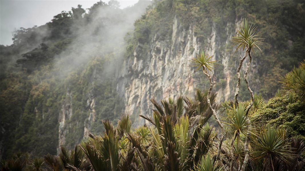
Pororari River - Bullock Creek Road Track
Advanced • 5–6 hr • 15 km • 8.63 km away
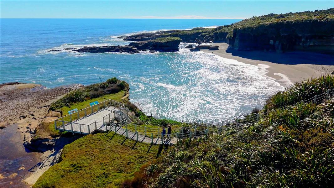
Truman Track
Easiest • 30 min return • 1.4 km • 9.64 km away
Notes from people who have been
No notes yet. If you have been, say what you found.
Something missing or out of date?
Closed, moved, wrong facts, or something we have missed? Travellers keep the Road Guide up to date. Tell us what you found at contribute@parkup.nz and we will check it and add it.
Ask us to take this down
A person reads every request. We do not remove a place until we have checked it.
Sources
- DOC Tracks & Trails · CC BY 4.0Data sourced from the Department of Conservation (DOC), New Zealand.
- DOC Tracks (API) · CC BY 4.0Crown Copyright: Department of Conservation Te Papa Atawhai. Data sourced from the DOC Developer Portal (api.doc.govt.nz).