Mt Bovis Route
WalkWest CoastOpen
- Grade
- Expert
- Walking time
- 10 hr
- Distance
- 8 km from track head
- Route
- Return
- Dogs
- No dogs
Getting there
We have not checked a road end or car park for this place yet, so we do not give driving directions to it. Check how to get there before you go. Some routes cross private land and need the landowner's permission.
How to get there, on doc.govt.nzThe track begins at the end of Bullock Creek Road which starts 2 km north of the DOC Visitor Centre in Punakaiki. Punakaiki is about a 45 min drive north of Greymouth, and 1 hr south of Westport.
Source: DOC Te Papa Atawhai.
Map
Map data © OpenStreetMap contributors. Topo map: LINZ, CC BY 4.0. 42.10990° S, 171.44913° E
About this place
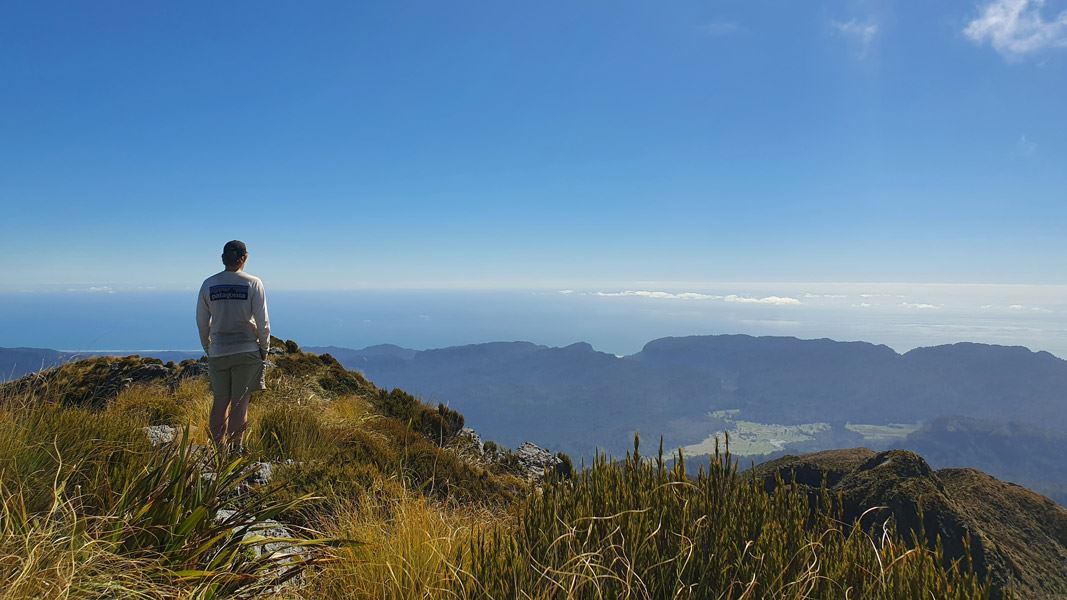
An expert route leading to panoramic views of the Paparoas and out to the Tasman Sea. Suitable for fit, experienced and well-equipped people.
The route
To get to the track head, start at the carpark at the end of Bullock Creek Road, and follow the old road further inland to the T-junction and DOC sign. Continue to the left on the shared section with the Inland Pack Track heading in the Fox River direction, before soon turning right at a junction marked for the Mt Bovis Route. Follow the old four-wheel drive track across the former Bullock Creek farm. Before reaching the track head at the forest edge, you'll need to cross Bullock Creek which can rise rapidly in wet conditions. From the entrance to the forest the track rapidly gains elevation following a ridgeline. While there are track markers, it can be easy to come off the track (due to the combination of tree falls, overgrowth, goat tracks etc). Route-finding skills are essential. Above the bush line the route continues into rocky outcrops. From here good visibility is essential for choosing a route down to the saddle before the final climb to the peak. There is a limited number of poles, but you will need to choose your route to scramble between these. Return the same way.
Source: DOC Te Papa Atawhai.
Nearby stops
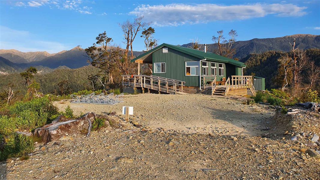
Pororari Hut
Great Walk • 20 bunks • West Coast • 7.1 km
Pororari Hut is a 20-bunk Great Walk hut located on the Paparoa Track in the West Coast region.
Cooking • Heating • Mattresses

Ballroom Overhang Campsite
Backcountry • West Coast • 7.4 km
Ballroom Overhang Campsite is a backcountry campsite located on the Ballroom Overhang Track in the West Coast region.
Toilets - non-flush • Toilets
Punakaiki Beach Camp
West Coast • 9.3 km
Punakaiki Beach Camp is a campsite located on the West Coast of New Zealand. It is situated near the Punakaiki area, providing access to the local coastline…
Emergency Shelter
West Coast • 9.8 km
The Emergency Shelter is a basic hut located on the West Coast of New Zealand. It provides a simple refuge for hikers and is intended for use in urgent…
Coast Road Holiday Park
West Coast • 10.9 km
Walks nearby
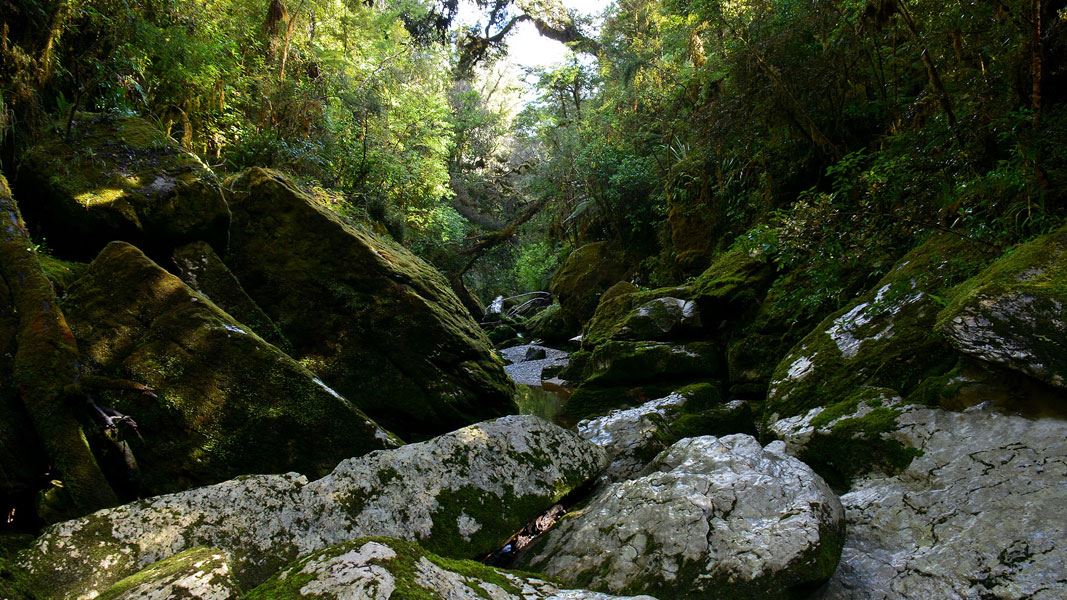
Cave Creek Memorial Track/Kotihotiho
Easy • 1 hr 10 min return • 4 km • 3.84 km away
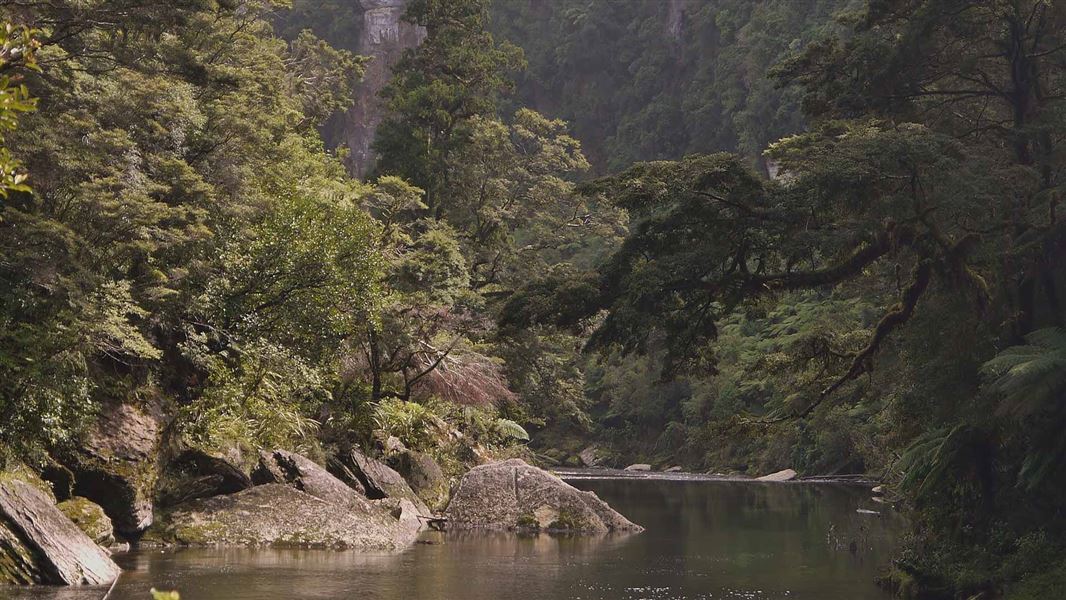
Paparoa Track: Pororari Hut Track
Intermediate • 4-5 hr one way • 16 km one way | 17.1 km one way • 4.23 km away
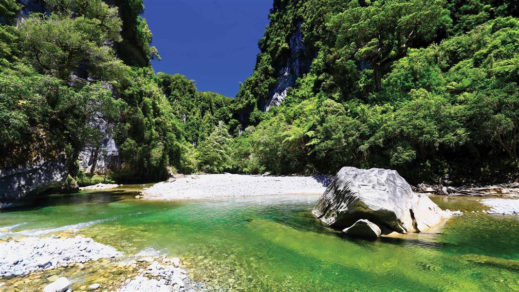
Inland Pack Track
Advanced • 2-3 days • 25 km • 4.46 km away
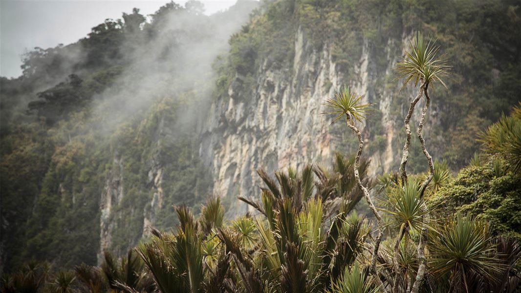
Pororari River - Bullock Creek Road Track
Advanced • 5–6 hr • 15 km • 5.23 km away
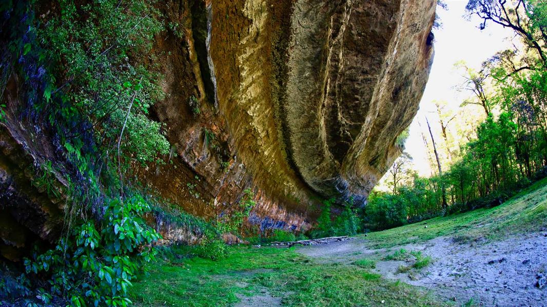
Ballroom Overhang Track
Advanced • 4 hr return • 12 km • 7.48 km away
Notes from people who have been
No notes yet. If you have been, say what you found.
Something missing or out of date?
Closed, moved, wrong facts, or something we have missed? Travellers keep the Road Guide up to date. Tell us what you found at contribute@parkup.nz and we will check it and add it.
Ask us to take this down
A person reads every request. We do not remove a place until we have checked it.
Sources
- DOC Tracks & Trails · CC BY 4.0Data sourced from the Department of Conservation (DOC), New Zealand.
- DOC Tracks (API) · CC BY 4.0Crown Copyright: Department of Conservation Te Papa Atawhai. Data sourced from the DOC Developer Portal (api.doc.govt.nz).