Cave Creek Memorial Track/Kotihotiho
WalkWest Coast
- Grade
- Easy
- Walking time
- 1 hr 10 min
- Distance
- 4 km
- Dogs
- No dogs
Getting there
We have not checked a road end or car park for this place yet, so we do not give driving directions to it. Check how to get there before you go. Some routes cross private land and need the landowner's permission.
How to get there, on doc.govt.nz2 km north of the Paparoa National Park Visitor Centre in Punakaiki, turn off SH 6 into Bullock Creek Road (a 6 km gravel road). Follow this to the carpark at the end.
Source: DOC Te Papa Atawhai.
Map
Map data © OpenStreetMap contributors. Topo map: LINZ, CC BY 4.0. 42.10358° S, 171.40332° E
About this place
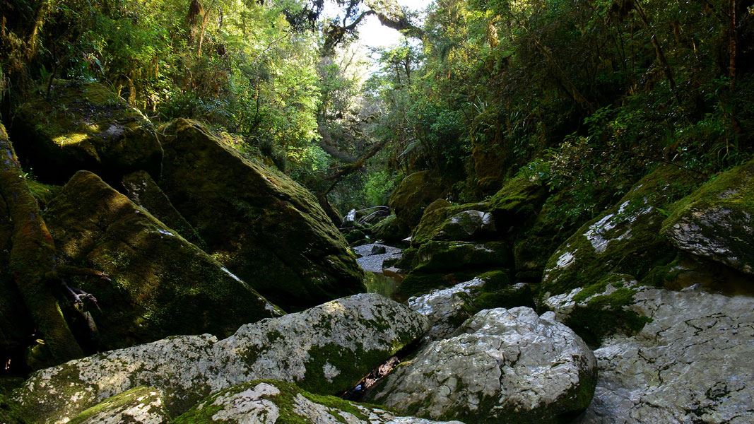
Walk down to the deep, narrow chasm of Cave Creek and be surrounded by moss-covered rocks and overhanging trees.
The route
From the carpark, follow the track markers to the T-intersection. Turn right as indicated by the track sign and continue for 300 m until the stone memorial is reached. Turn left and continue to a signpost indicating the track to Cave Creek/Kotihotiho. After crossing a ridge, the track descends into a deeply incised gorge. The creek-bed where the track ends is usually bouldery and dry. In normal conditions, the stream emerges from underneath rocks in several places near here.
Source: DOC Te Papa Atawhai.
Nearby stops
Punakaiki Beach Camp
West Coast • 5.5 km
Punakaiki Beach Camp is a campsite located on the West Coast of New Zealand. It is situated near the Punakaiki area, providing access to the local coastline…

Ballroom Overhang Campsite
Backcountry • West Coast • 7.5 km
Ballroom Overhang Campsite is a backcountry campsite located on the Ballroom Overhang Track in the West Coast region.
Toilets - non-flush • Toilets
Pororari Hut
Great Walk • 20 bunks • West Coast • 7.7 km
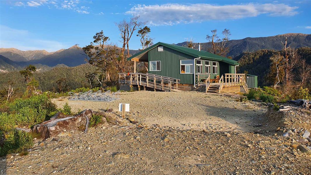
Pororari Hut is a 20-bunk Great Walk hut located on the Paparoa Track in the West Coast region.
Cooking • Heating • Mattresses
Coast Road Holiday Park
West Coast • 8.3 km
Emergency Shelter
West Coast • 11.2 km
The Emergency Shelter is a basic hut located on the West Coast of New Zealand. It provides a simple refuge for hikers and is intended for use in urgent…
Walks nearby
Inland Pack Track
Advanced • 2-3 days • 25 km • 0.7 km away
Pororari River - Bullock Creek Road Track
Advanced • 5–6 hr • 15 km • 1.67 km away
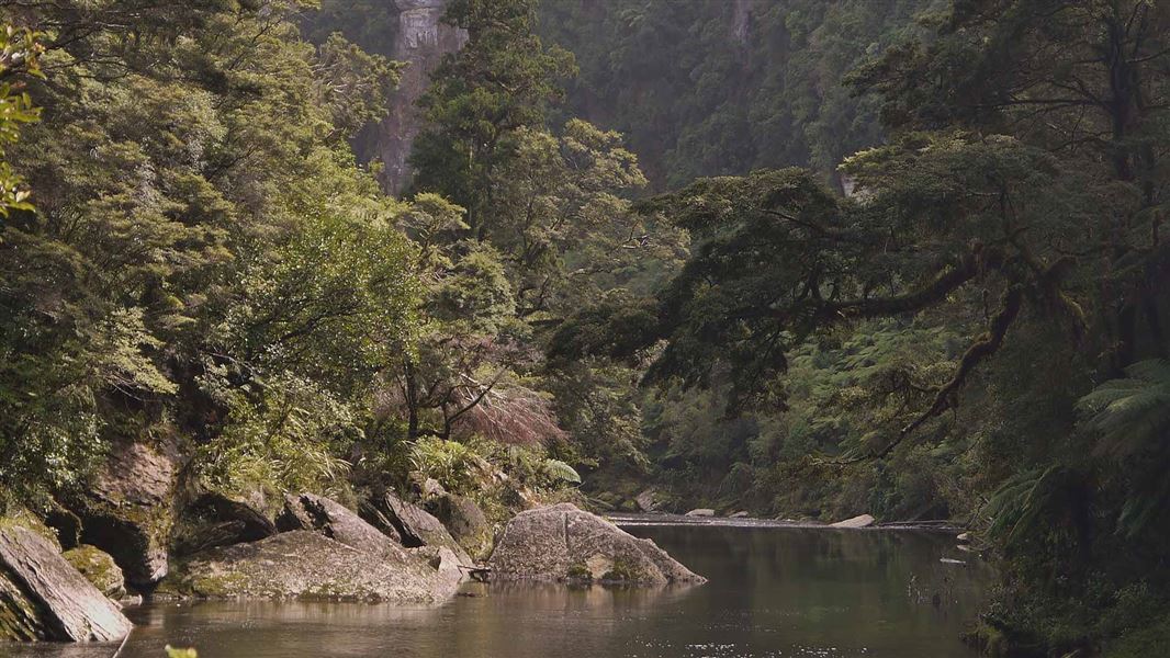
Paparoa Track: Pororari Hut Track
Intermediate • 4-5 hr one way • 16 km one way | 17.1 km one way • 3.06 km away
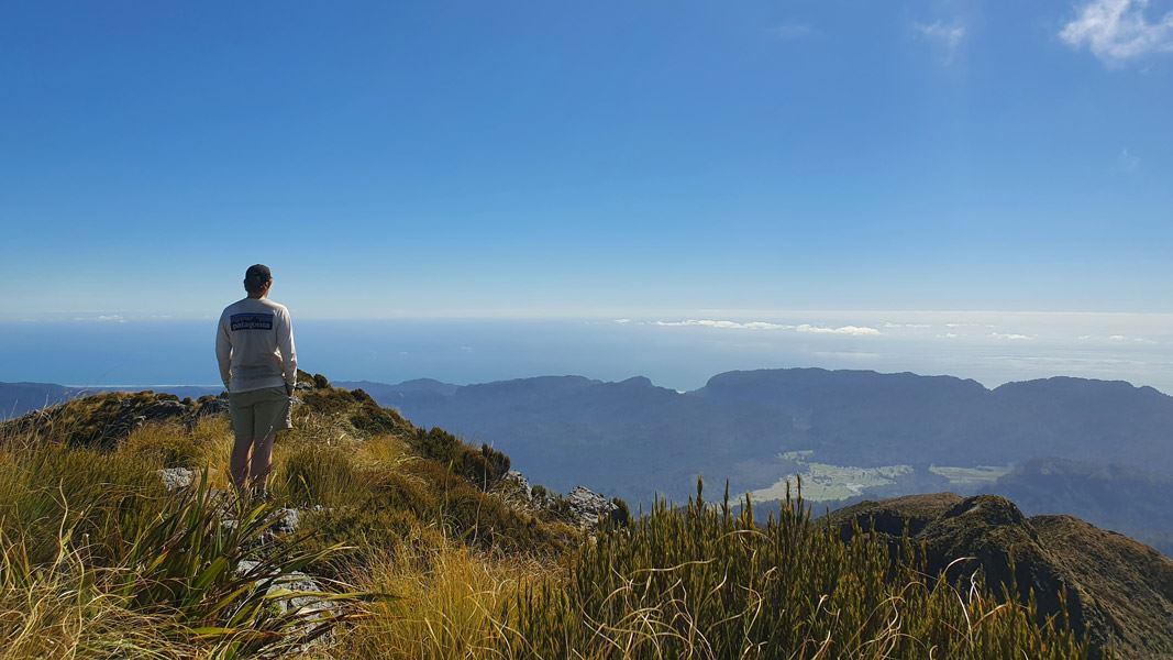
Mt Bovis Route
Expert • 8-10 hr • 8 km from track head • 3.84 km away
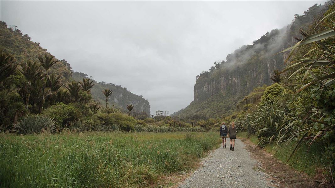
Punakaiki – Pororari Loop
Easy • 3 hr • 11 km • 3.97 km away
Notes from people who have been
No notes yet. If you have been, say what you found.
Something missing or out of date?
Closed, moved, wrong facts, or something we have missed? Travellers keep the Road Guide up to date. Tell us what you found at contribute@parkup.nz and we will check it and add it.
Ask us to take this down
A person reads every request. We do not remove a place until we have checked it.
Sources
- DOC Tracks (API) · CC BY 4.0Crown Copyright: Department of Conservation Te Papa Atawhai. Data sourced from the DOC Developer Portal (api.doc.govt.nz).