Tiropahi Track
WalkWest CoastOpen
- Grade
- Advanced
- Walking time
- 3 hr
- Distance
- 10 km
- Dogs
- No dogs
Getting there
We have not checked a road end or car park for this place yet, so we do not give driving directions to it. Check how to get there before you go. Some routes cross private land and need the landowner's permission.
How to get there, on doc.govt.nzThe track is 8 km south of Charleston or 21 km north of Punakaiki on SH6. The track is signposted from the highway.
A car park is located 200 m off SH6 however the gravel road leading to the carpark can become undrivable during or after heavy rain.
Source: DOC Te Papa Atawhai.
Map
Map data © OpenStreetMap contributors. Topo map: LINZ, CC BY 4.0. 41.97787° S, 171.45751° E
About this place
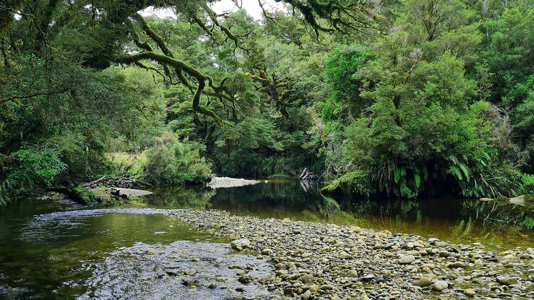
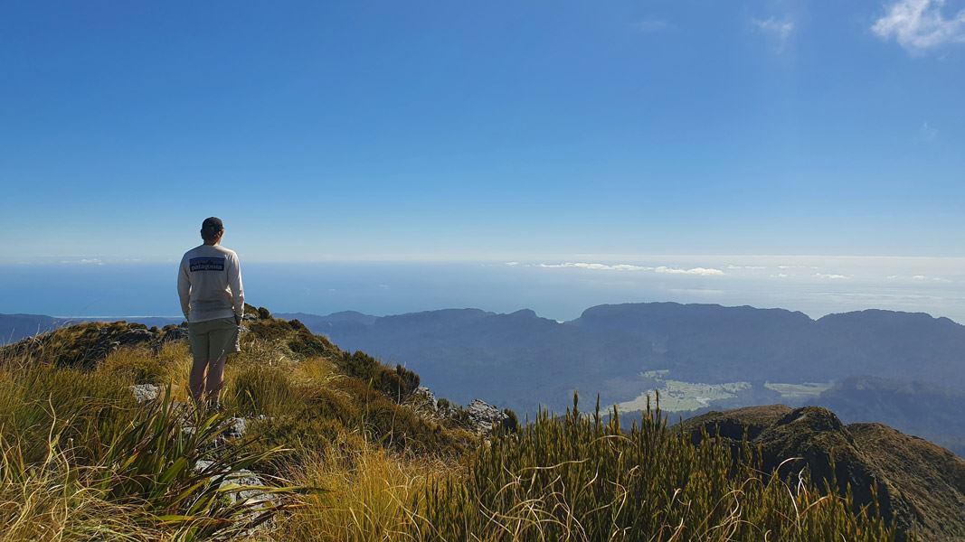
Follow a historic tramway through Tiropahi gorge to an open pakihi.
The route
From the sign posted turn off on SH6 follow the short gravel road to the Tiropahi car park. This tramping track starts by crossing the Four Mile/Tiropahi River and continues up the scenic valley. After 1 hour of walking there is a short side track that leads to historic tramway remnants 10 min return. After this continue on walking to the old forestry road and to the “pakihi view” (boggy land with rushes and ferns) this is the end of the DOC managed Tirophahi track. Return via the same track. Be prepared for a backcountry track experience. You may experience fallen trees, overgrown vegetation, and rough uneven terrain. Be prepared to turn back if needed.
Source: DOC Te Papa Atawhai.
Know before you go
Expect challenging track conditions
Some sections of the track have steep drop offs. Always stick to the track and ensure children are supervised at all times. A river crossing is required at the start of the track. This can be uncrossable during or after heavy rain.
Stay safe when crossing rivers and streams
If you plan to cross unbridged rivers or side streams, know how to cross safely and be prepared for if you cannot cross. Do not cross if the river or stream is flooded, you cannot find safe entry and exit points or are unsure it’s safe. Turn back or wait for the river to drop. If in doubt, stay out. How to cross rivers safely NIWA river flow forecasts: View a video of national followed by regional river flows
Source: DOC Te Papa Atawhai.
Nearby stops

Ballroom Overhang Campsite
Backcountry • West Coast • 7.4 km
Ballroom Overhang Campsite is a backcountry campsite located on the Ballroom Overhang Track in the West Coast region.
Toilets - non-flush • Toilets
Charleston Motor Camp
West Coast • 7.9 km
Jack's Gasthof
West Coast • 10.9 km
Jack's Gasthof is a campsite located in the West Coast region of New Zealand. No further details regarding facilities or specific amenities are available in…
Punakaiki Beach Camp
West Coast • 17.4 km
Punakaiki Beach Camp is a campsite located on the West Coast of New Zealand. It is situated near the Punakaiki area, providing access to the local coastline…

Buckland Peak Hut
Standard • 6 bunks • West Coast • 18.3 km
Buckland Peak Hut is a standard six-bunk hut located in the Buller area of the West Coast.
Mattresses • Toilets - non-flush • Water from tap - not treated, boil before use
Walks nearby
Notes from people who have been
No notes yet. If you have been, say what you found.
Something missing or out of date?
Closed, moved, wrong facts, or something we have missed? Travellers keep the Road Guide up to date. Tell us what you found at contribute@parkup.nz and we will check it and add it.
Ask us to take this down
A person reads every request. We do not remove a place until we have checked it.
Sources
- DOC Tracks (API) · CC BY 4.0Crown Copyright: Department of Conservation Te Papa Atawhai. Data sourced from the DOC Developer Portal (api.doc.govt.nz).
- DOC Tracks & Trails · CC BY 4.0Data sourced from the Department of Conservation (DOC), New Zealand.