Truman Track
WalkWest CoastOpen
- Grade
- Easiest
- Walking time
- 30 min
- Distance
- 1.4 km
- Route
- Return
- Dogs
- No dogs
Access: read before you go
Flying a drone without a permit is strictly prohibited. Drone use on conservation land
Source: DOC Te Papa Atawhai.
Getting there
We have not checked a road end or car park for this place yet, so we do not give driving directions to it. Check how to get there before you go. Some routes cross private land and need the landowner's permission.
How to get there, on doc.govt.nzTruman Track is signposted off SH6, 3 km north of the Punangairi Visitor Centre in Punakaiki. DOC’s Paparoa National Park Visitor Centre is located here.
If you’re coming from Punakaiki, the car park is on your right, opposite the track entrance.
Open in Google Maps
Truman Track car park has:
Take care when crossing the road. It’s a 100 km zone.
If Truman Track car park is full, do not park on the highway.
Instead, use the gravel shoulder 600 m (10 min walk) to the south, on the coastal side of SH6. Follow the shared pedestrian and cycling path to the track entrance.
Directions
Truman Track is signposted off SH6, 3 km north of the Punangairi Visitor Centre in Punakaiki. DOC’s Paparoa National Park Visitor Centre is located here. If you’re coming from Punakaiki, the car park is on your right, opposite the track entrance. Open in Google Maps Travel times (by car) Punakaiki (5 min) Greymouth (45 min) Westport (1 hr)
Parking
Truman Track car park has: limited free parking for cars and campervans no marked mobility spaces. Take care when crossing the road. It’s a 100 km zone. Alternative parking If Truman Track car park is full, do not park on the highway. Instead, use the gravel shoulder 600 m (10 min walk) to the south, on the coastal side of SH6. Follow the shared pedestrian and cycling path to the track entrance.
Source: DOC Te Papa Atawhai.
Map
Map data © OpenStreetMap contributors. Topo map: LINZ, CC BY 4.0. 42.09250° S, 171.34065° E
About this place
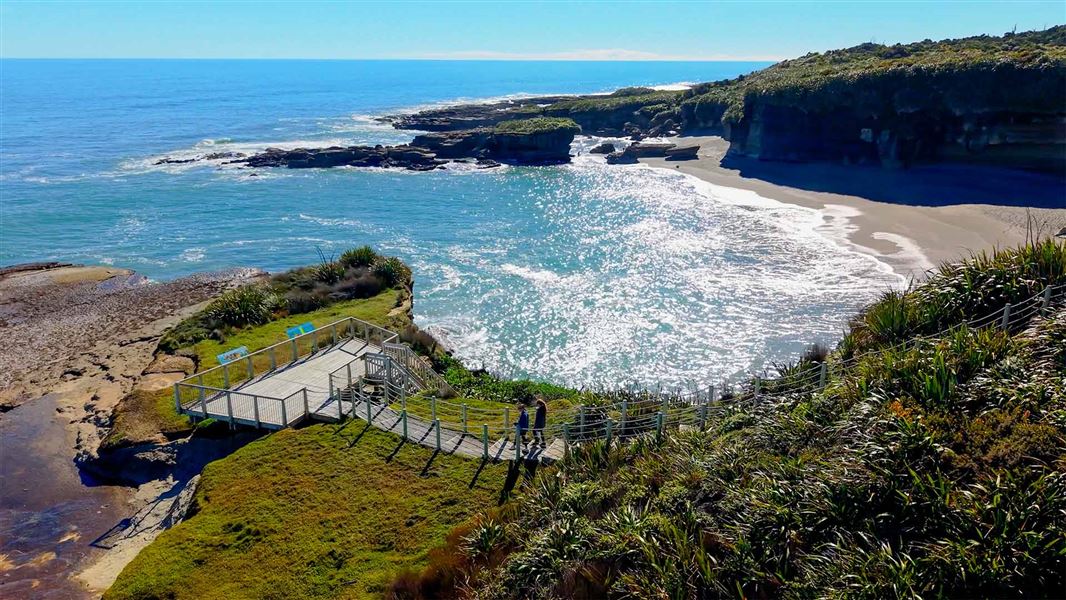
Descend through unspoiled rainforest to look out over a wild West Coast coastline. There’s a waterfall tumbling to the beach below.
The route
About the walk
Truman Track leads from the highway just north of Punakaiki down to the Tasman Sea. As you descend, you’ll pass through three distinct plant zones: At the bottom of the track, you’ll find two viewing platforms. From the upper platform, enjoy spectacular views of the wave-eroded coastline to the north, and south to the Pancake Rocks . The walk ends at the lower viewing platform. You’ll look out over the wild, rock-strewn beach, where a waterfall plummets from sandstone cliffs. Return to the carpark the same way you came.
Beach safety
The beach at the end of Truman Track has serious hazards. See ‘Know before you go’ for important safety information.
Source: DOC Te Papa Atawhai.
Know before you go
Mana whenua
Ngāti Waewae holds mana whenua or customary authority over this special place.
Safety and hazards
Truman Track ends at the lower viewing platform. There are serious hazards if you choose to explore the beach. Beach unsafe for swimming: River mouths and beaches along this coast have dangerous tidal currents and rips. They are not patrolled by lifeguards. Unstable cliffs and overhangs: Cliffs are made of soft sandstone that waves erode constantly. Rocks may fall or cliffs collapse without warning. Do not linger around cliff faces or overhangs. Tidal access: Access to the beach is unsafe at high tide, and the far cove is cut off. Take care not to get trapped by the rising tide. Rough seas: The beach is unsafe in rough seas, and waves can wash across the lower viewing platform. Only descend to the lower platform and beach in calm conditions. Sudden waves: Large waves can wash onto the beach at any time. Keep children close, don’t get too close to the water and watch out for rogue waves.
When to go
Visit at low tide and when the sea is calm if you plan to explore the beach. New Zealand weather changes quickly. Check the weather forecast before you go, and be prepared. Check tide times View weather forecast
Plan your visit
Bookings are not required for Truman Track. Toilets are not provided. The nearest toilets and accessible toilets are at the Punangairi Visitor Centre in Punakaiki (5 min by car). Drinking water is not available. Bring your own. Seating is provided by the upper viewing platform. There is no seating at the car park. Limited food options can be found in Punakaiki. Petrol and other services are available in Westport and Greymouth. Mobile cell phone coverage can be unreliable.
What to take
Short Walks gear list
Care for nature
Rubbish bins are not provided. Take your rubbish with you. Stay on the track to protect critically endangered coastal turf. The beach at the end of Truman Track is part of Punakaiki Marine Reserve . All marine life here is protected. Protecting nature in Aotearoa
No drones
Flying a drone without a permit is strictly prohibited. Drone use on conservation land
Source: DOC Te Papa Atawhai.
Nearby stops
Punakaiki Beach Camp
West Coast • 1.6 km
Punakaiki Beach Camp is a campsite located on the West Coast of New Zealand. It is situated near the Punakaiki area, providing access to the local coastline…
Coast Road Holiday Park
West Coast • 7.1 km

Ballroom Overhang Campsite
Backcountry • West Coast • 10.1 km
Ballroom Overhang Campsite is a backcountry campsite located on the Ballroom Overhang Track in the West Coast region.
Toilets - non-flush • Toilets
Pororari Hut
Great Walk • 20 bunks • West Coast • 11.1 km
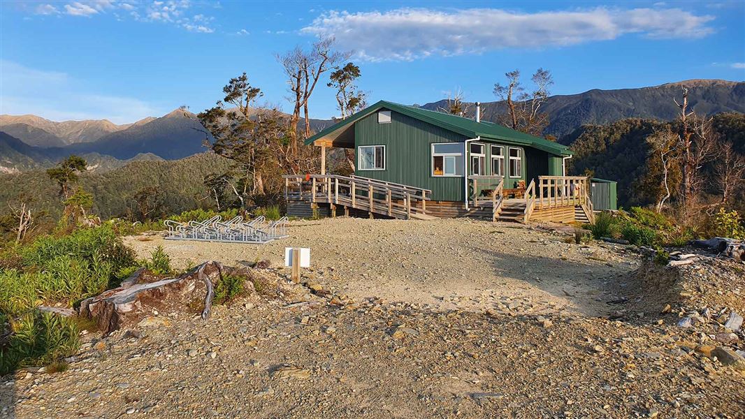
Pororari Hut is a 20-bunk Great Walk hut located on the Paparoa Track in the West Coast region.
Cooking • Heating • Mattresses
Emergency Shelter
West Coast • 14.8 km
The Emergency Shelter is a basic hut located on the West Coast of New Zealand. It provides a simple refuge for hikers and is intended for use in urgent…
Walks nearby
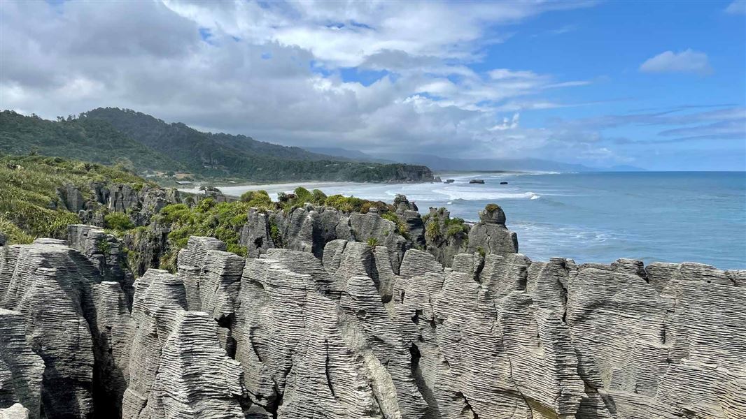
Punakaiki Pancake Rocks and Blowholes Walk
Easiest • 30 min loop • 1.1 km • 2.62 km away
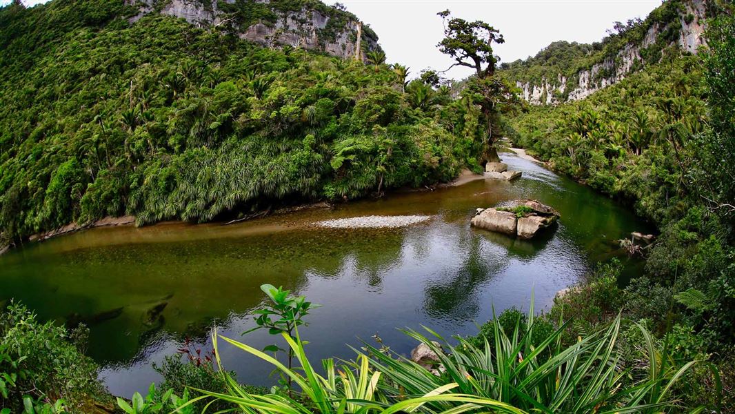
Pororari River Track
Easy • 1 hr 30 min • 7 km • 2.68 km away
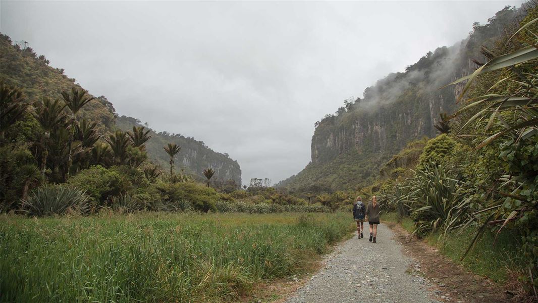
Punakaiki – Pororari Loop
Easy • 3 hr • 11 km • 2.94 km away
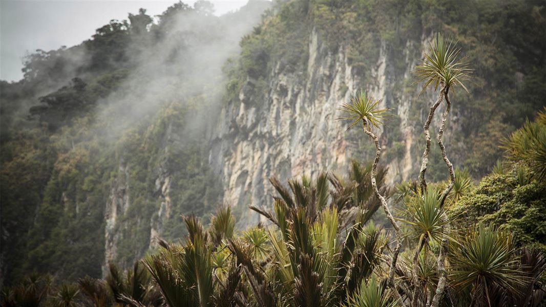
Pororari River - Bullock Creek Road Track
Advanced • 5–6 hr • 15 km • 4.25 km away
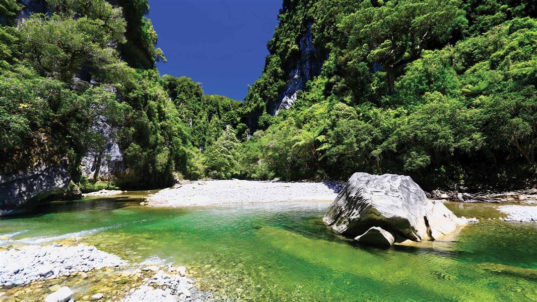
Inland Pack Track
Advanced • 2-3 days • 25 km • 4.74 km away
Notes from people who have been
No notes yet. If you have been, say what you found.
Something missing or out of date?
Closed, moved, wrong facts, or something we have missed? Travellers keep the Road Guide up to date. Tell us what you found at contribute@parkup.nz and we will check it and add it.
Ask us to take this down
A person reads every request. We do not remove a place until we have checked it.
Sources
- DOC Tracks (API) · CC BY 4.0Crown Copyright: Department of Conservation Te Papa Atawhai. Data sourced from the DOC Developer Portal (api.doc.govt.nz).
- DOC Tracks & Trails · CC BY 4.0Data sourced from the Department of Conservation (DOC), New Zealand.